
Howgill Fells, Yorkshire Dales National Park, October 2019
At the beginning of October, my friend Eddie Chapman and I walked ten miles into the Howgill Fells in the Cumbrian reaches of the Yorkshire Dales National Park. You can view and download the walk on ViewRanger here.
The evening before the walk we passed the Howgills during the golden hour. A day of heavy rain dried up and the sun cast its glaze across the folds of the fells.
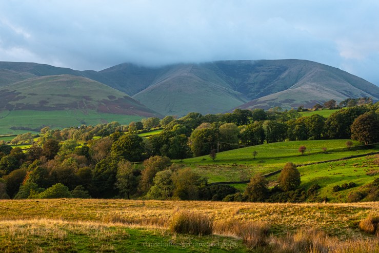
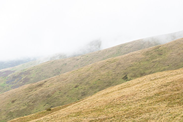
Cloud hung over the Calf, the highest peak in the area and was to remain for the next day.

The stone barns are one of the Yorkshire Dale’s most iconic features. Swaledale seems to have the greatest compliment of these beautiful structures.
The walk began from Sedbergh, the largest settlement in the Yorkshire Dales National Park. The day was sunny and surprisingly warm.
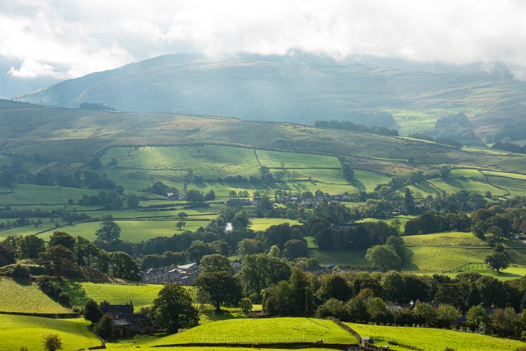
The cloud still lingered over the highest points but the fields glowed in the morning sun.
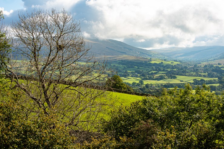
Looking east towards Garsdale, the Yorkshire Dales are always more wooded than I remember.
As we made our way up into the hills through a steady ascent, the clouds settled in overhead.

Here Eddie could still make out a small family group of stonechat in some bracken.
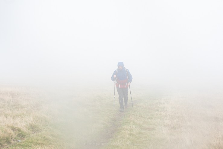
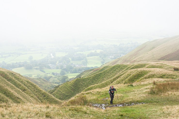
Climbing higher onto Arant Haw the mist locked down, a strange and claustrophobic experience.

Up and over our first peak, the mist began to clear only when we headed towards the Calf, the highest point of the Howgills.
It was a great relief to have the folds of the fells reappearing from the cloud.
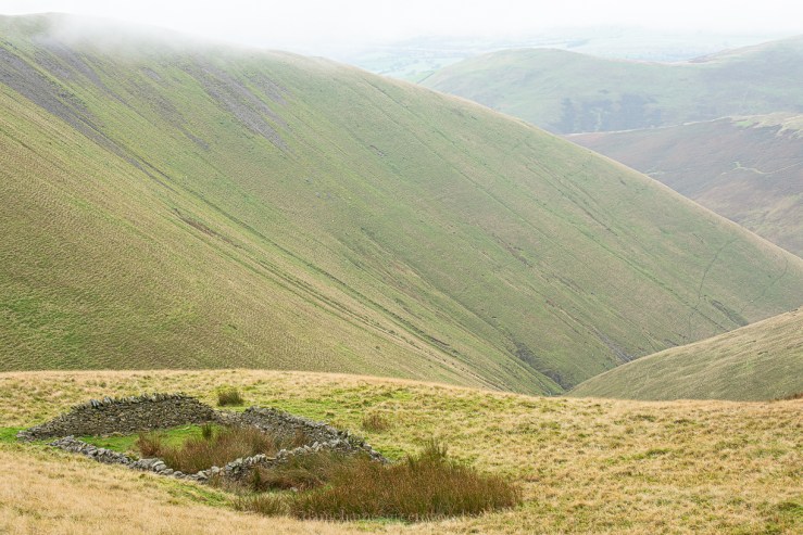
Anyone who has travelled between Glasgow and Manchester will have passed the Howgills. At this junction in the fells the motorway can be heard in the distance and the small specks of vehicles passing. Above you can see what looks like the remains of an old sheep pen.

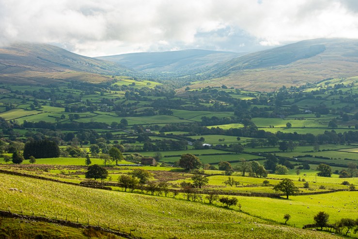
The clouds lifted and the fells appeared. The creases speak of millenia-old waterways.

Greater views began to appear, with Ribblesdale appearing in the distance in the shape of Whernside, one of the three peaks famed for the 30-mile day hike challenge.

Atop the Calf, Eddie is happy to be out of the clouds for once.

This sheep felt like it was being watched.

The light began to dip as we headed deeper into the folding Howgills.

Our target was Cautley Spout, the waterfall that would lead us down into the valley for a return to Sedbergh along the river Rawthey.
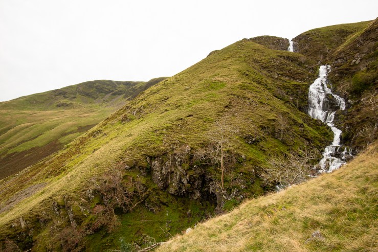
The waterfall thunders down into the valley from Cautley Crag.

The waterfall is a safehaven for trees, unlike the wider hillsides which are either unsuitable due to the boggy nature of the moorland or because of sheep grazing. Rowan, ash, holly and elm were all growing in the gully.

The limestone surrounding the falls is covered by map lichens glowing neon.
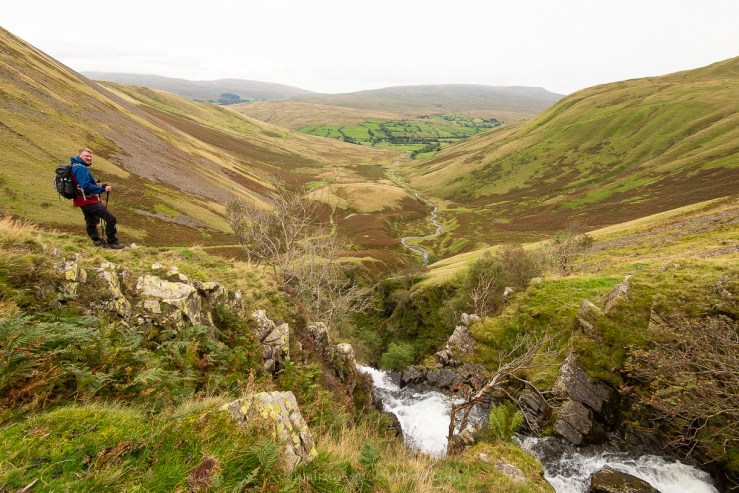

This area holds evidence of an Iron Age settlement. It isn’t surprising. There is protection, the river provides food and once woodland will have been more prevalent providing fuel. This landscape was potentially a site of spiritual significance. The allure is undeniable.

Amazing colors in these pictures!
Thanks for your comment! 👍
[…] being a ‘northerner’ was accurate. He’s from Chesterfield and has accompanied me on several walks shown on this blog. Turns out that as a native of Chesterfield he might actually be a Midlander, anyway, nevermind […]