Dublin, Ireland, September 2024
What began as me non-chalantly taking some photos from the deck of the ferry leaving Dublin Port emerged as a deep-dive (not literally) into the ecology and history of Dublin Bay. It has taken me weeks to complete this, I hope you enjoy it as much as I have learning about Dublin Bay.
Through the process of writing this post, I have also somehow ended up watching livestreams of ferries leaving the port! Also, I’ve taken the plunge (lol) and borrowed my late father’s copy of James Joyce’s Ulysses because some of it is set in Dublin Bay (thanks Mum). This blog can’t wait for me to read those 900+ pages, however, but I’ve included a few snapshots of the Bay from the first chapter.
This ferry journey is deeply ingrained in my childhood memories, from summers spent visiting my grandparents in Dublin and then usually down south to Cork. I have one memory of leaving on a summer evening in the 1990s, with the golden evening sunlight draped across Howth to the north as we began our journey to Holyhead. How many other people must have similar memories.
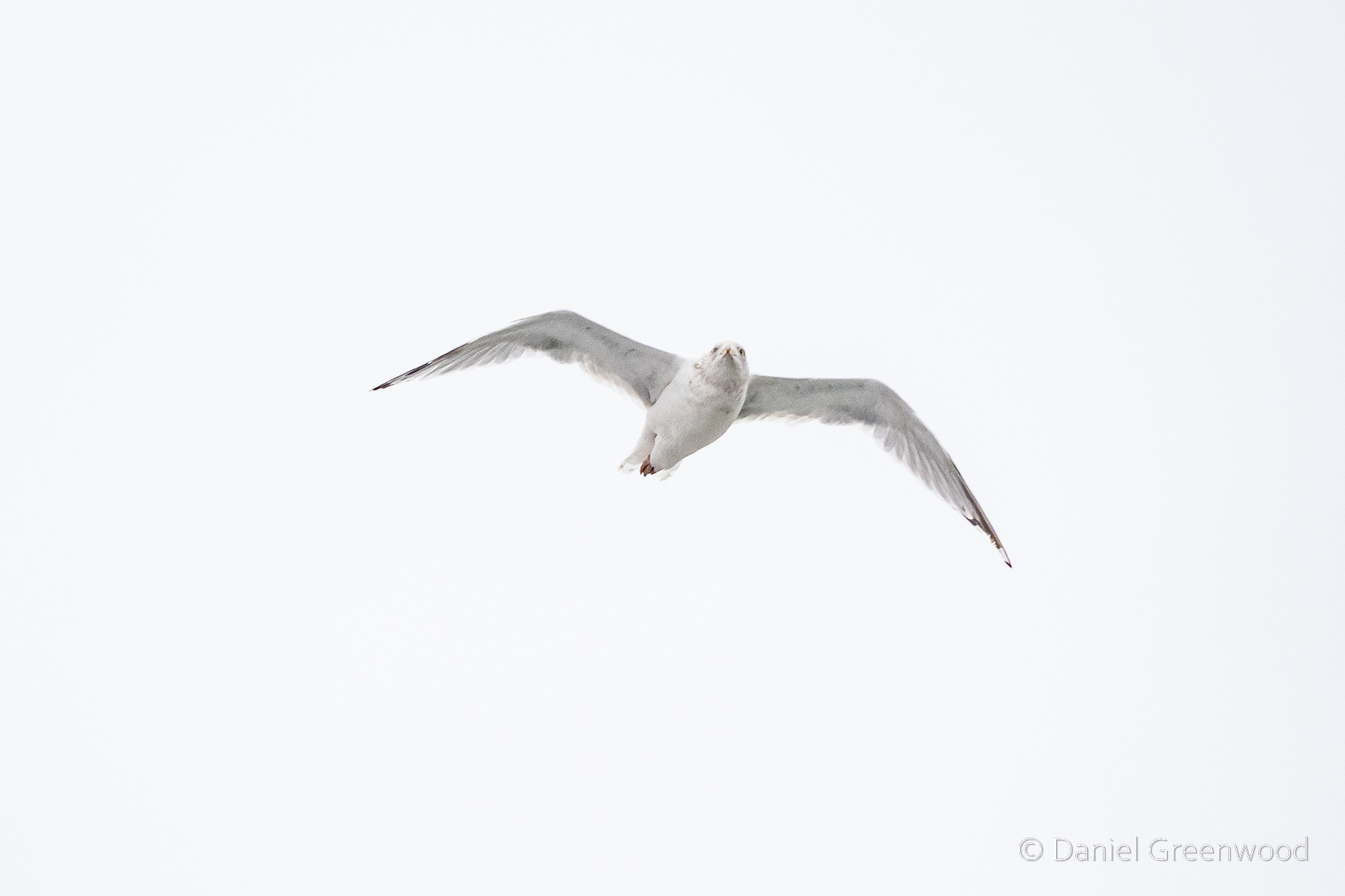
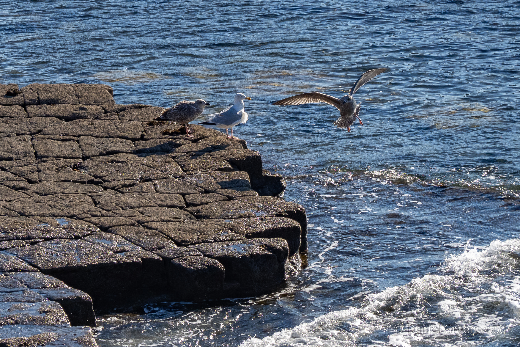
From the deck of the boat you have great views of gulls flying by. Gulls don’t just follow trawlers, they also swoop alongside ferries. The vantage point of the ferry deck is a great spot for gull photography, which is something that most people don’t really spend time doing. Those people are missing out.
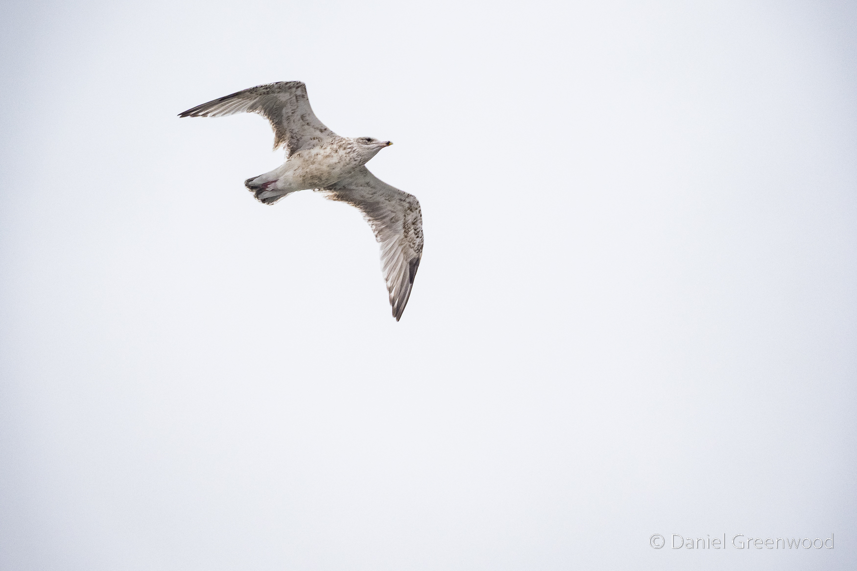
Identifying gulls is not easy, especially with the pre-adult phase plumages. This looks like it could be a herring gull due to the black tips to the wings, but it may also be a juvenile like the one in the previous image.
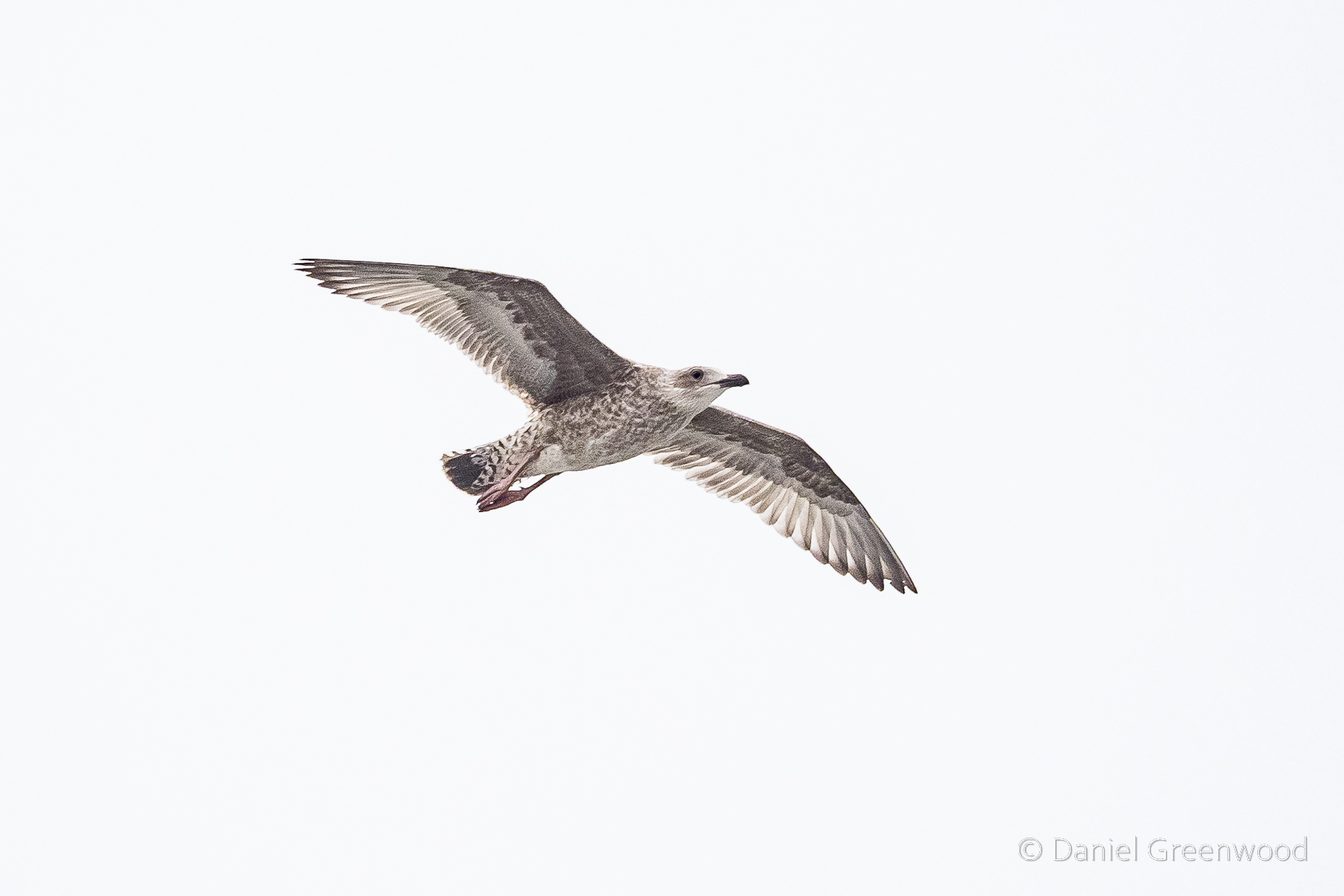
This is another juvenile gull. Dublin Port must be a fun place for a gull to grow up.
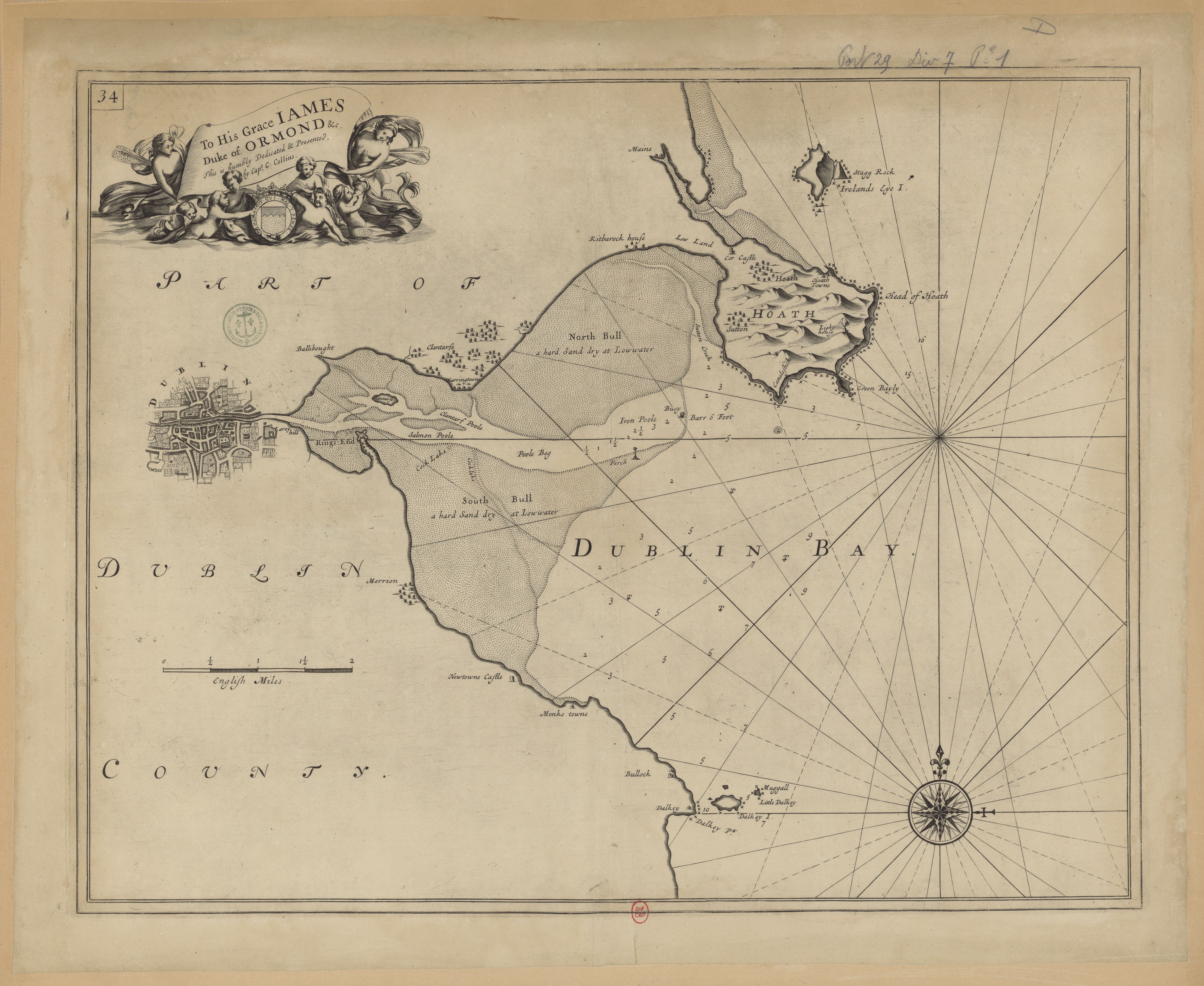
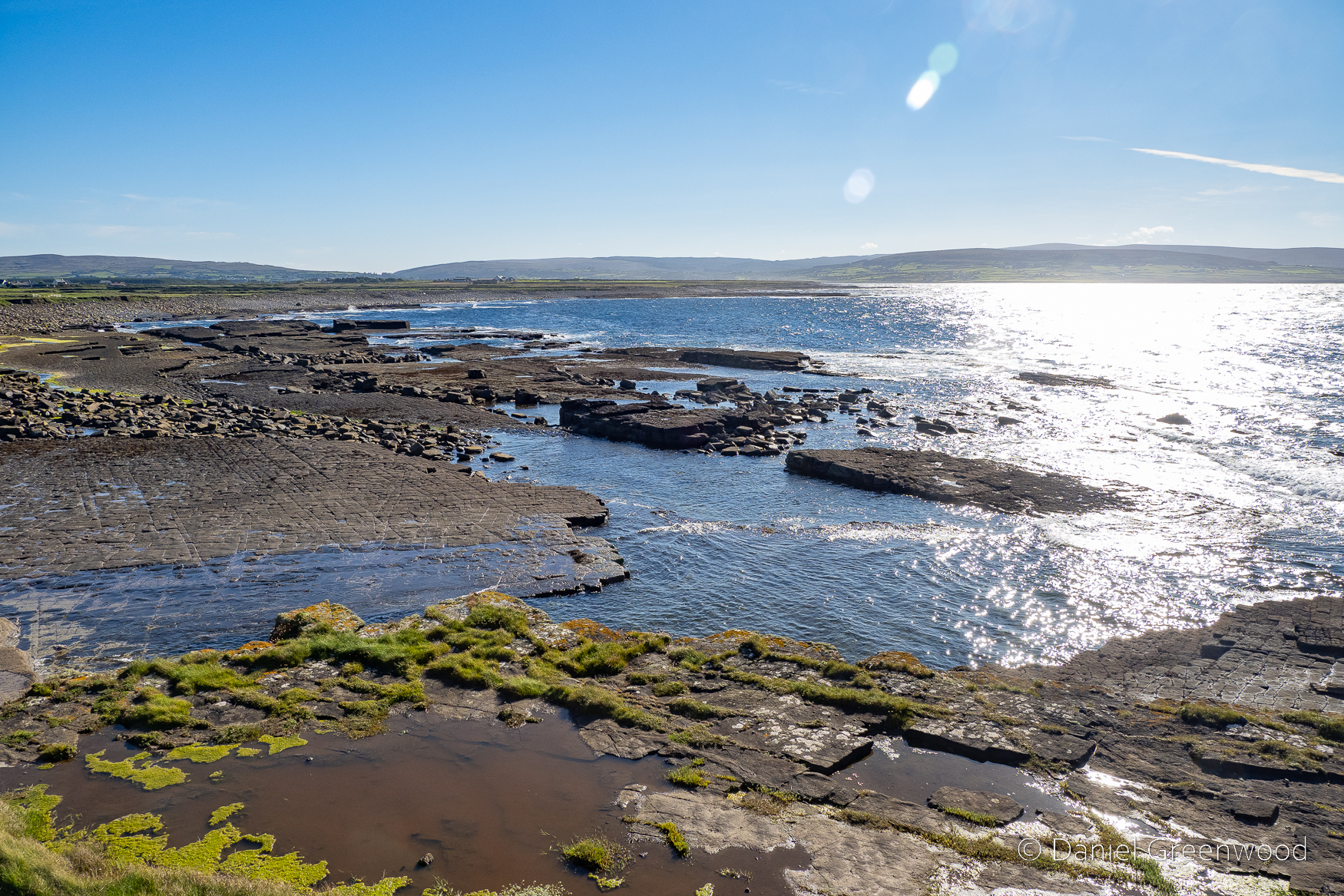
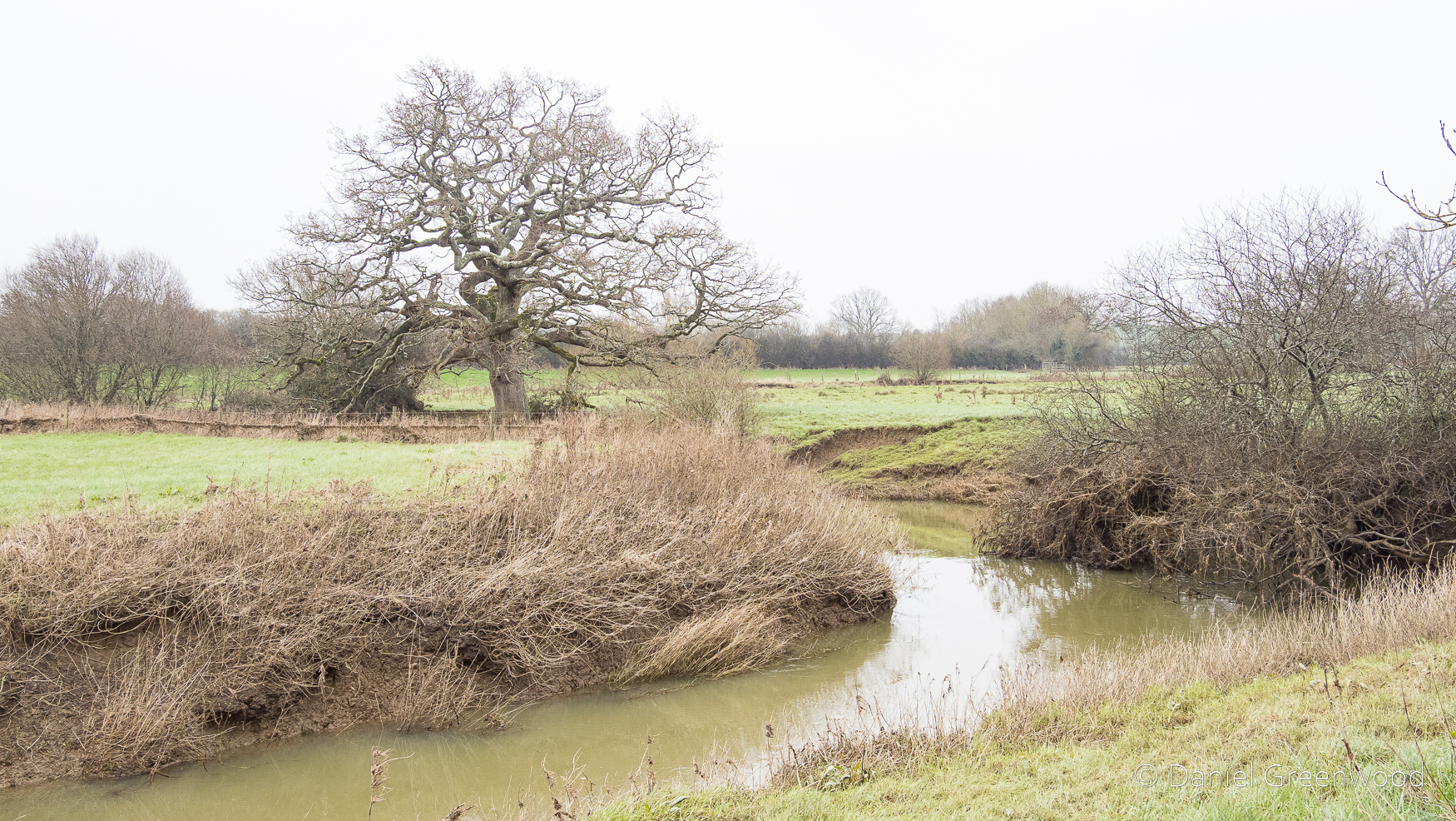
It would have been more fun before the port developed, when it was more of a natural estuary with mudflats and saltmarsh that have over the centuries been lost to a booming shipping industry. That era is captured in this 17th-18th century map.
The gulls really are rather mesmerising among the ferry churn as it departs.
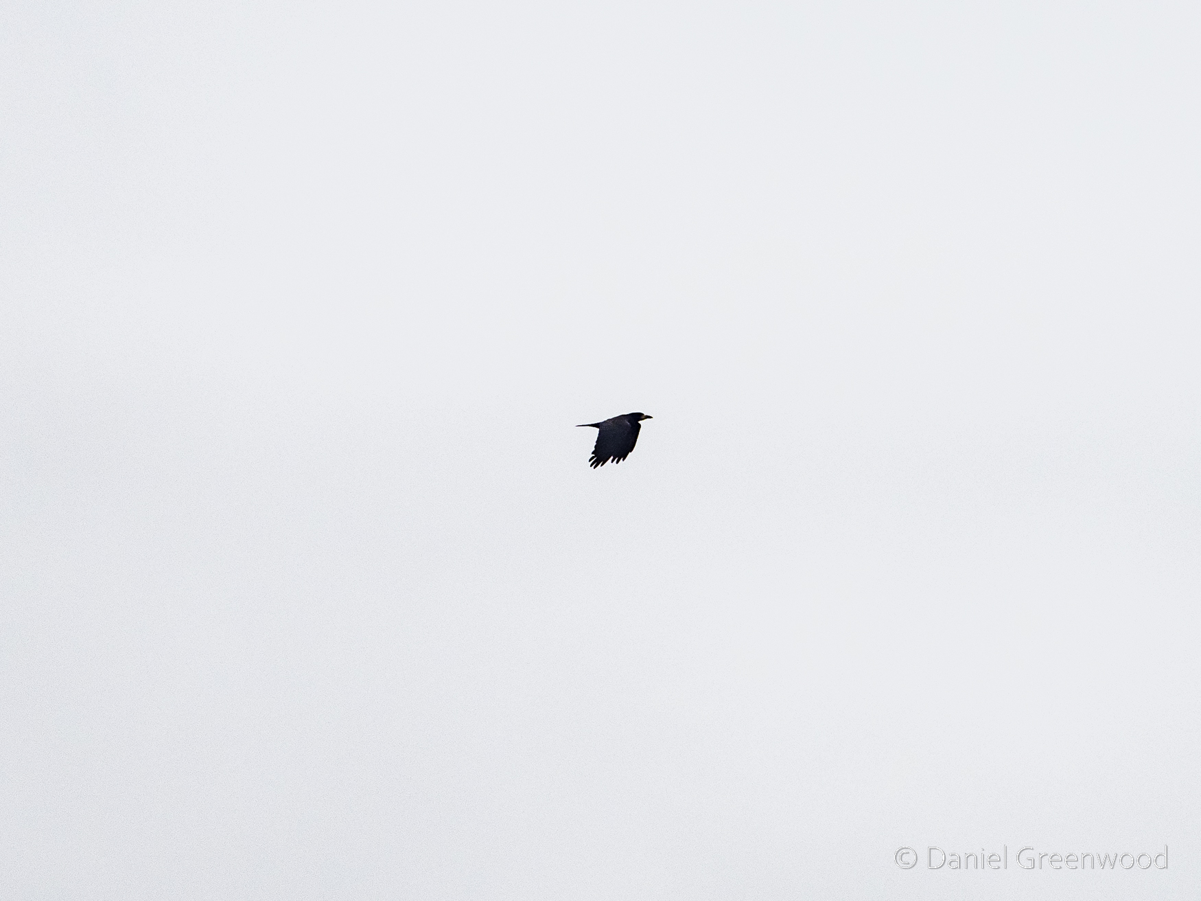
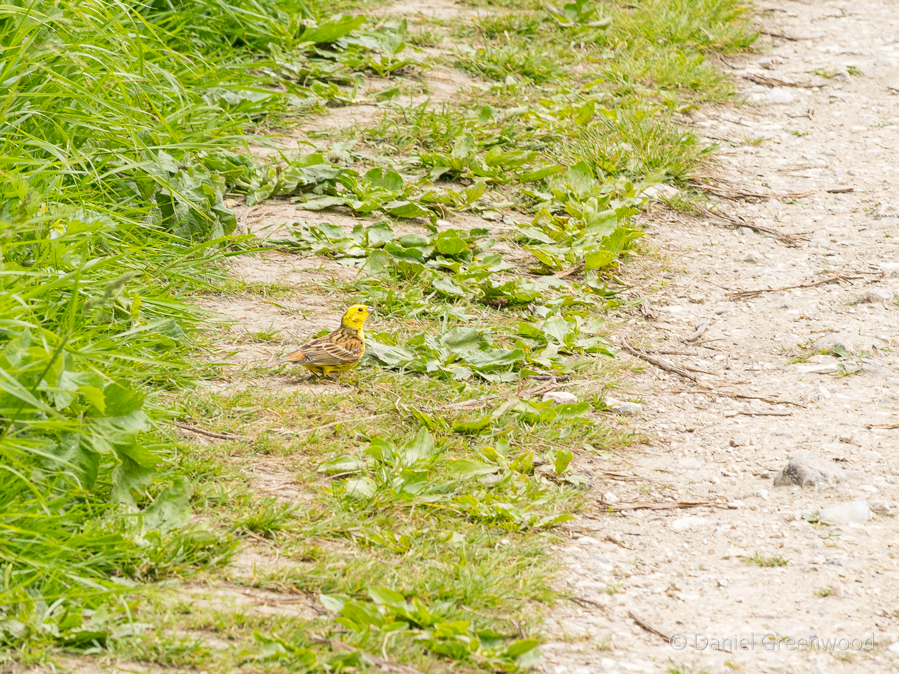
Who knew rooks were seabirds, too (they’re not). They’re very intelligent though, my aunt Sally is a particular fan of these communal roosters.
Though industry has gulped down much of the natural landscape of Dublin Bay, there’s ongoing conservation work with Birdwatch Ireland supporting Dublin Port to understand the birds of the Bay.
One of the views before embarkation, which I will come back to when the ferry pulls up alongside this view. The Georgian-looking house on the right is Pigeon House, named after the couple who once managed it.
This scene reminds me of The Wire series two, though I’m not suggesting the same is going on down there.
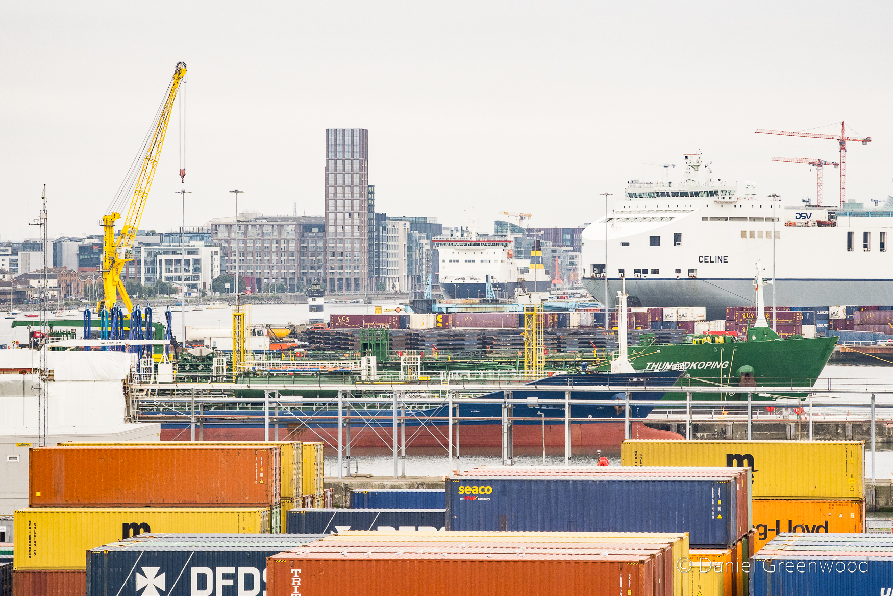
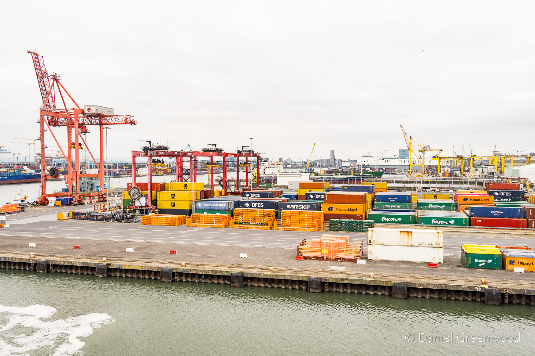
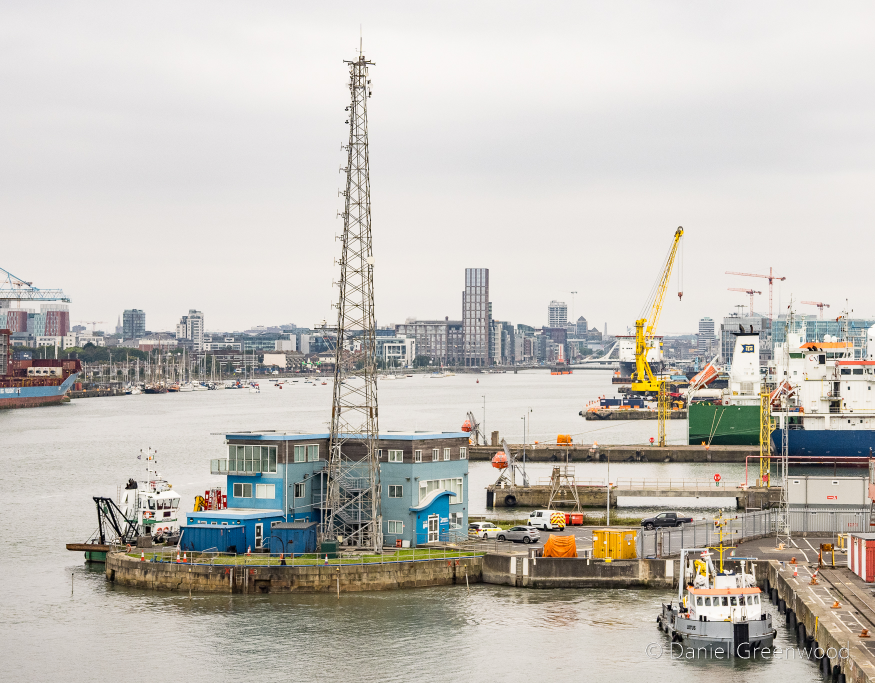
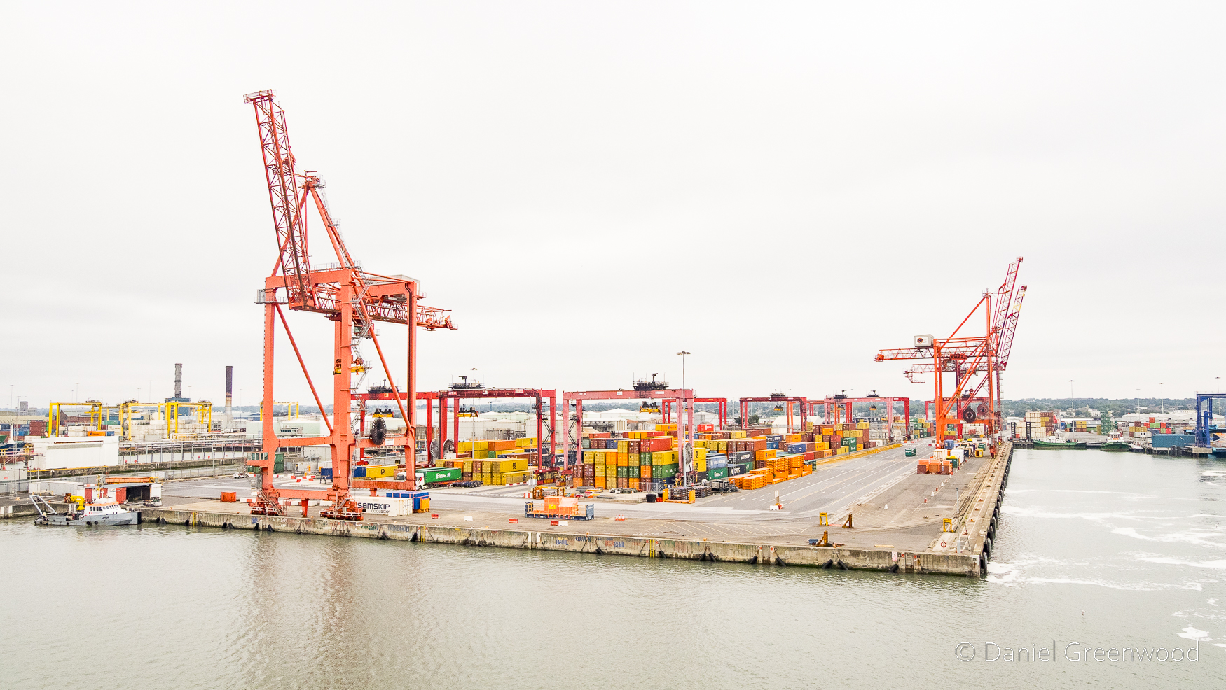
As the ferry exits the dock the Liffey comes into view among a cluster of ships, cranes and containers.
This seascape is a mystery to me. Something that helped me to understand the complexity of the area was this perfectly-timed episode from the Irish History Podcast: Dublin Port has seen it all: 1200 years of history
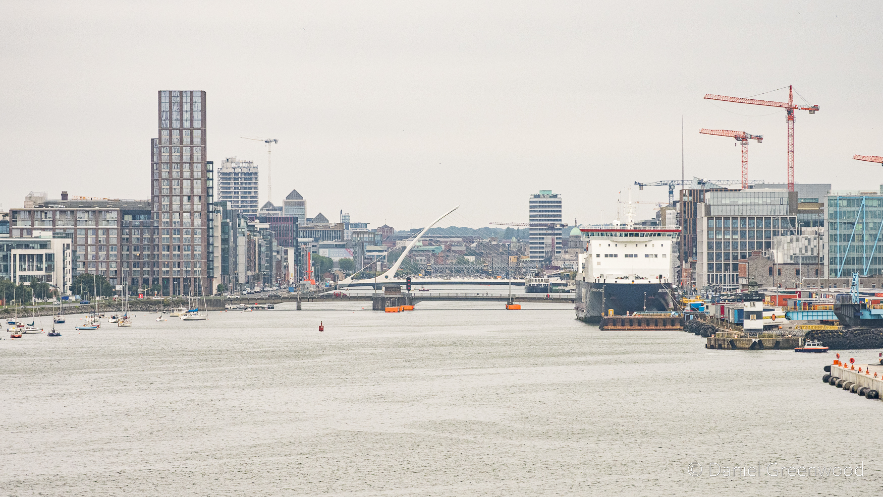
The famous Harp bridge becomes visible as the Liffey opens up. Imagine the Vikings travelling up here long ago as they first set foot in Ireland. They founded the Kingdom of Dublin.
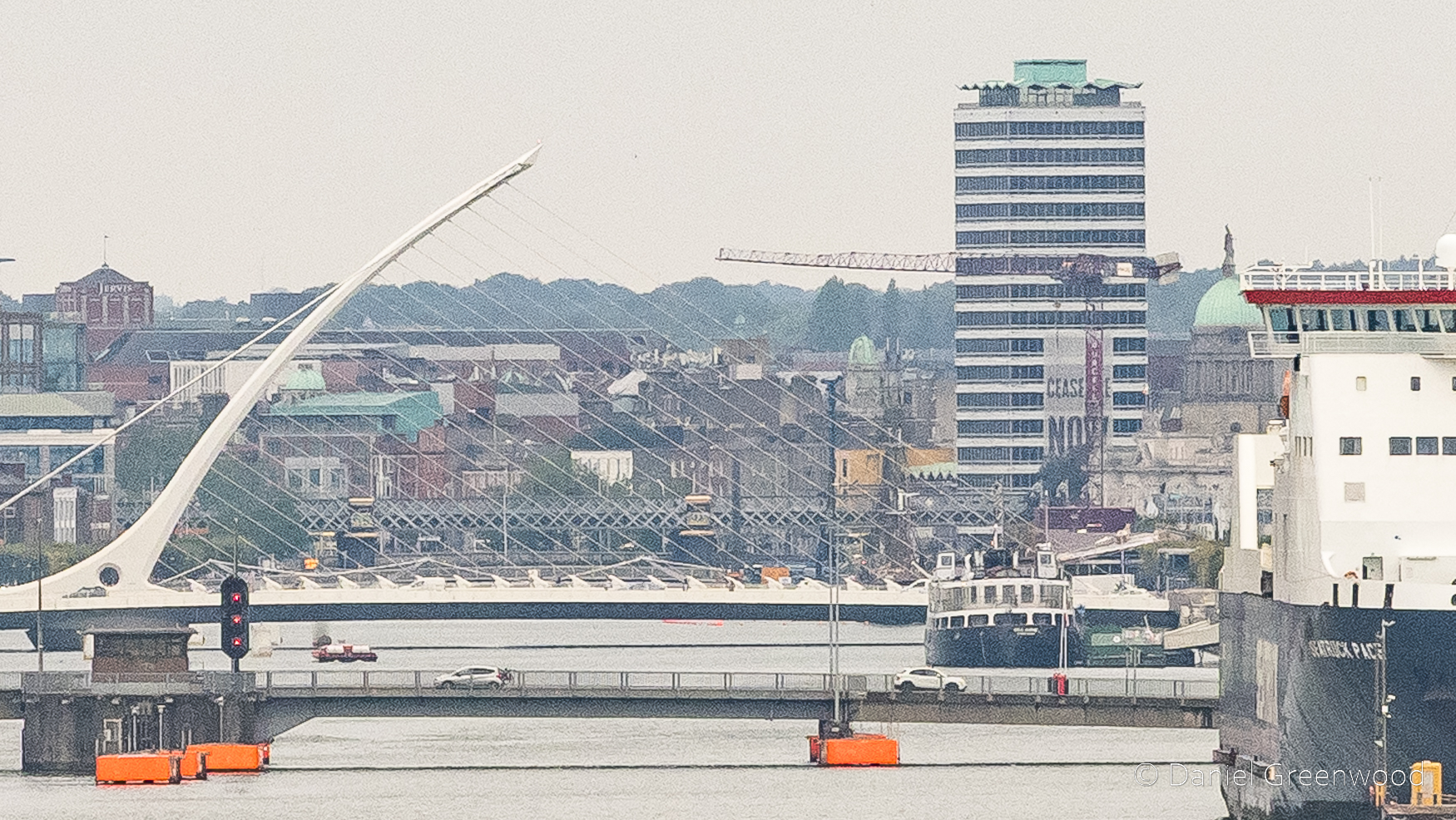
I cropped this photo to show the ‘Ceasefire Now’ banner that covers the tower block alongside the river (mid-right). It of course refers to the Israeli military’s military campaign in Gaza, which has killed 70,000 Palestinians as of 2026.
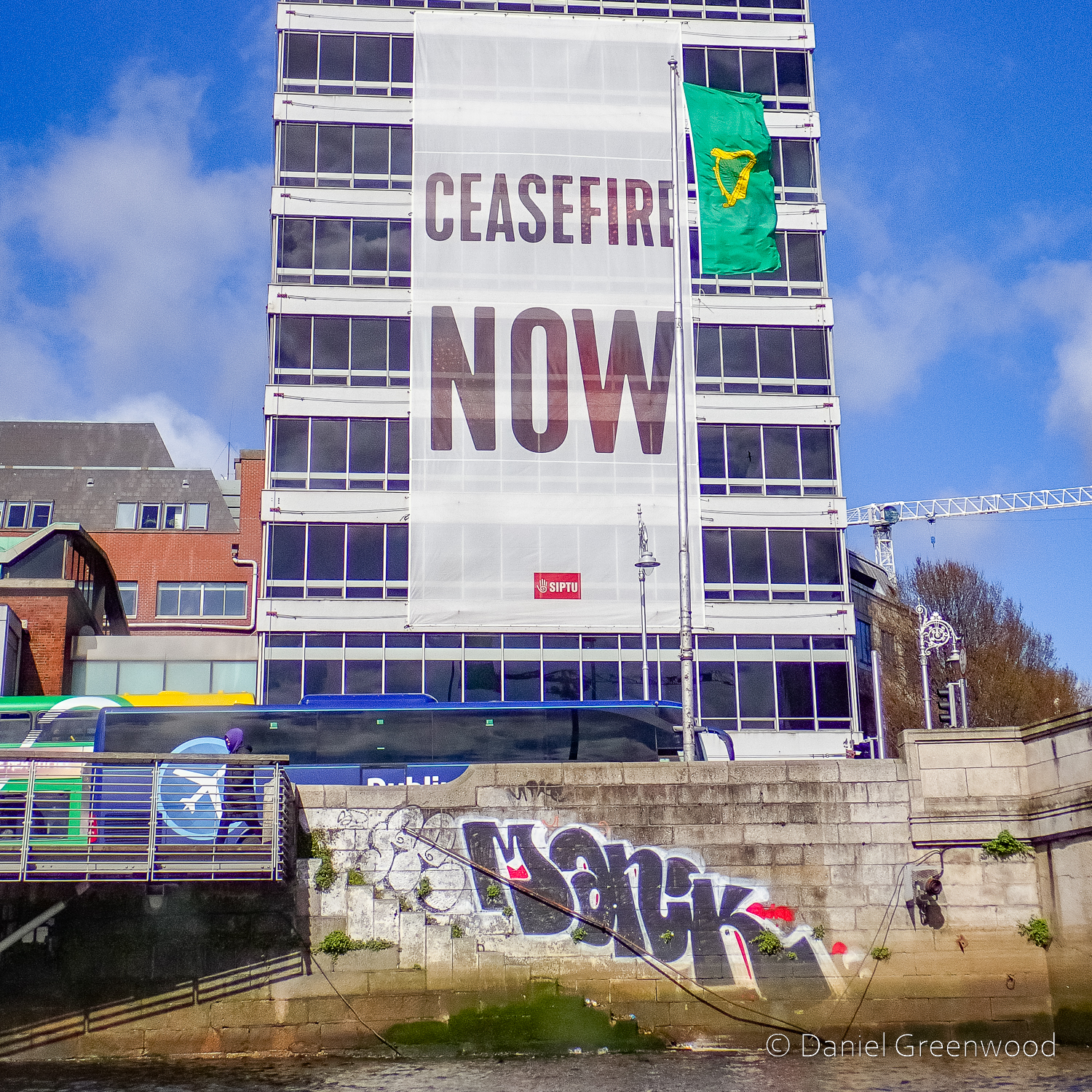
This was the view of the banner six months earlier when I passed on a tourist boat trip along the Liffey.
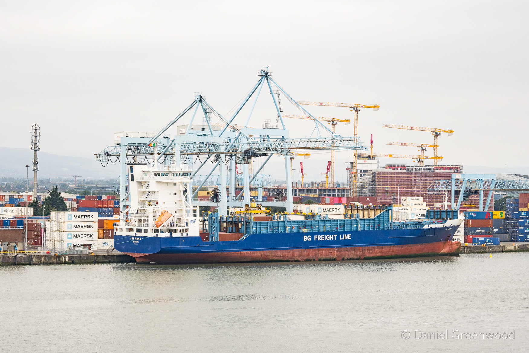
I think this ship goes to either Rotterdam or Antwerp. Rotterdam is one of the most important ports in Europe, especially for British and Irish shipping (more about that in the Irish History Podcast episode about the port).
My London-Irish uncle Jimmy (and reader of this blog, I think) shared a memory about these cranes:
‘One Halloween we were arriving at the port on a Stena boat and the crane was very busy at the dock picking up containers, but the crane driver had time, as we passed, to switch on his microphone and do a very creepy Vincent Price type of accent, and announced: “welcome to Dublin”. It was very funny’.
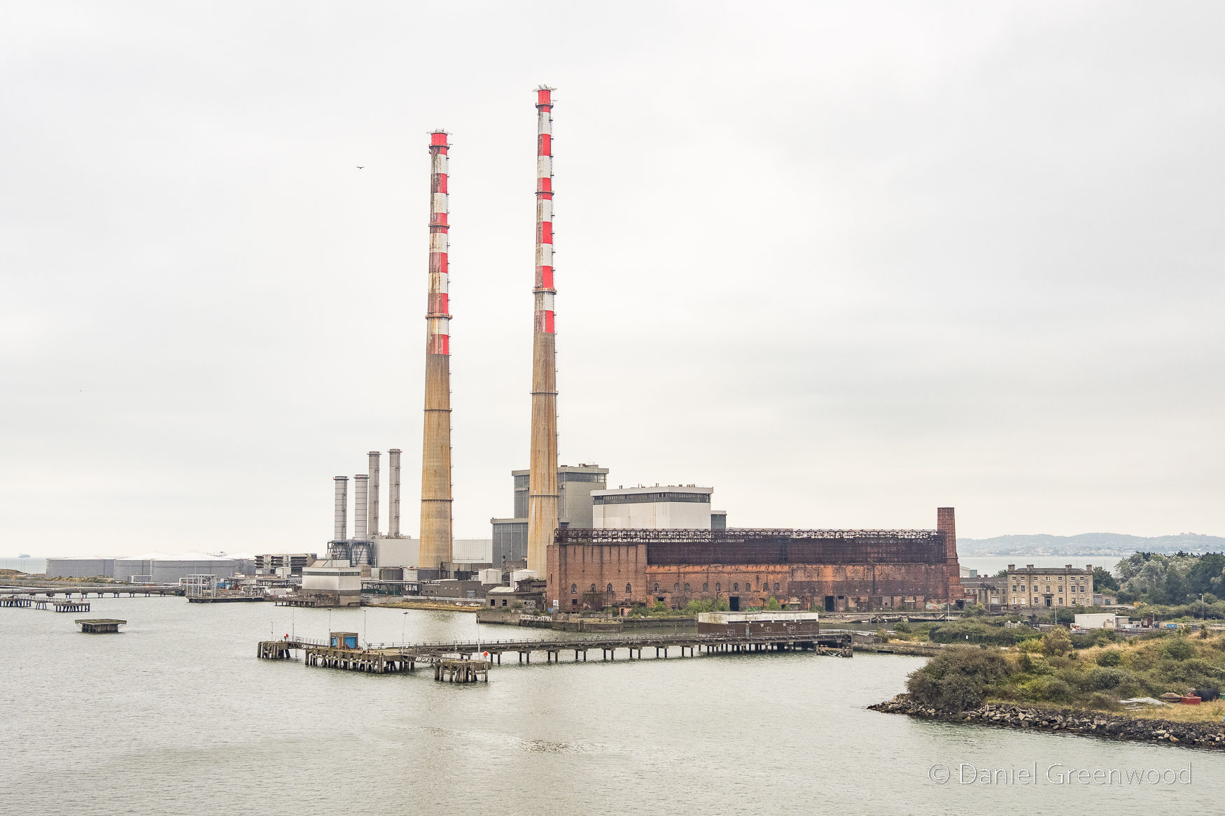
These iconic towers are known as the Poolbeg Stacks. You can see Pigeon House on the right.
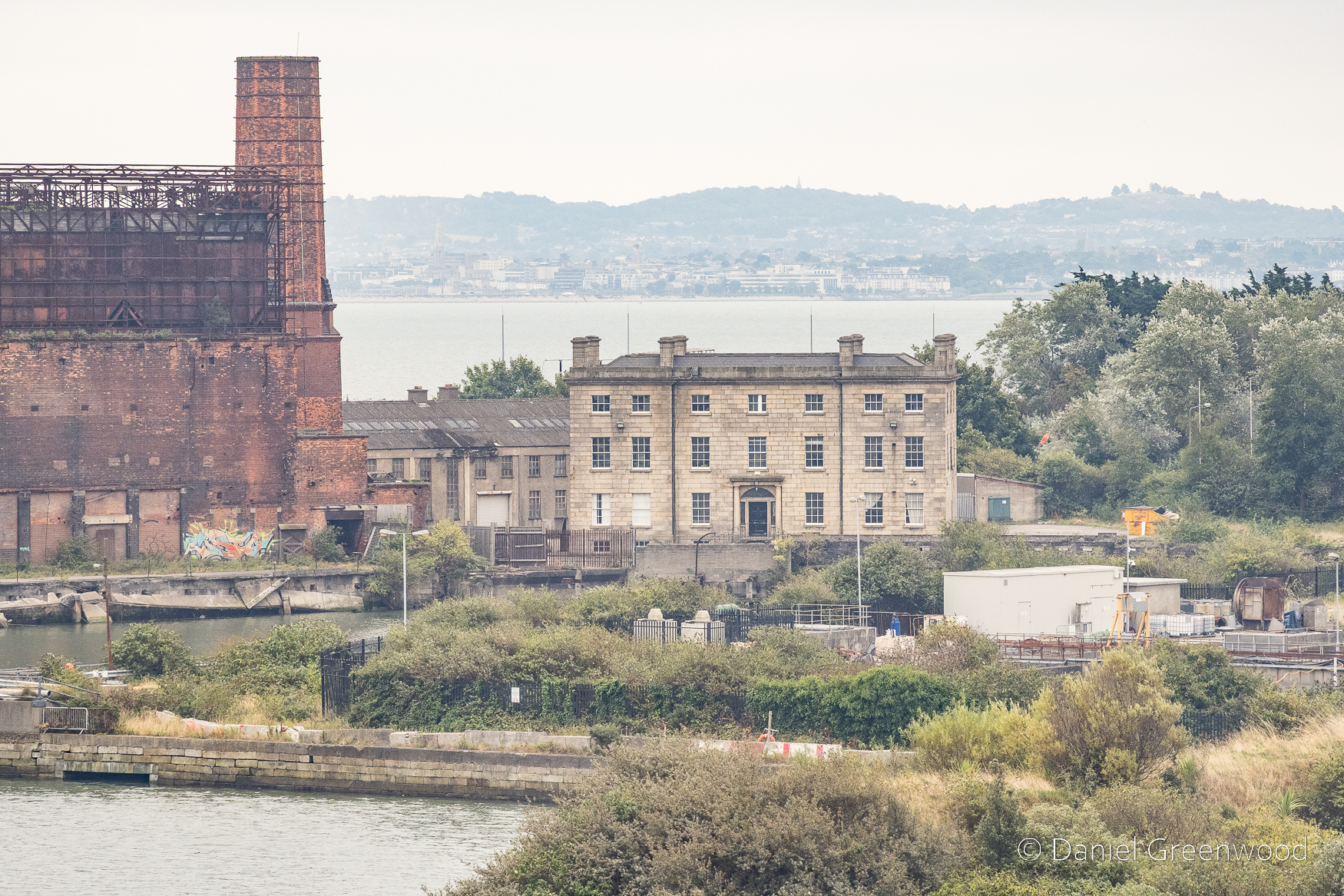
Pigeon House was a hotel and today is available for use from the Dublin Film Office. It dates to the late 18th century:
The hotel did not last long for after the 1798 Rebellion, the area was transformed into a military fort, the Pigeon House Fort. The hotel building was converted into the officers’ accommodation within the fort, which then grew over the next hundred years to include an armory, a hospital, and trenches crossed by drawbridges.
https://en.wikipedia.org/wiki/Poolbeg_Generating_Station
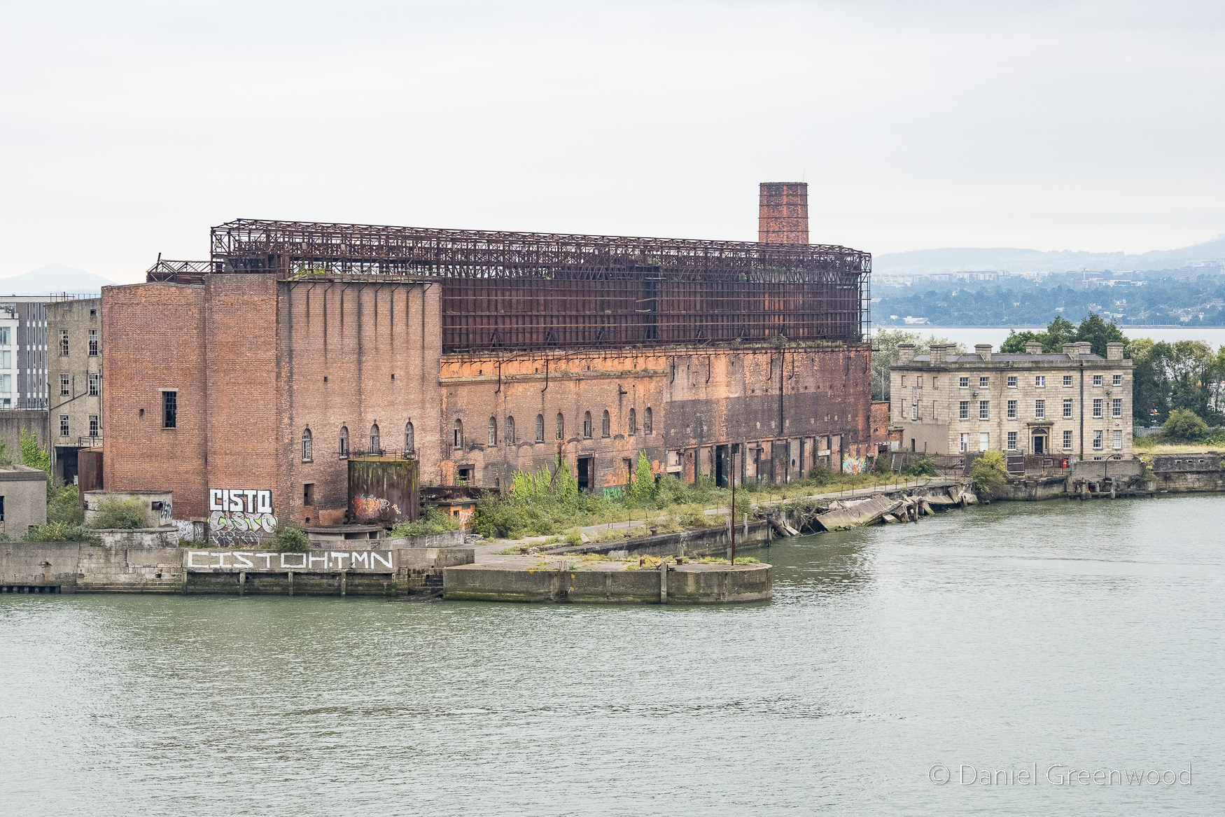
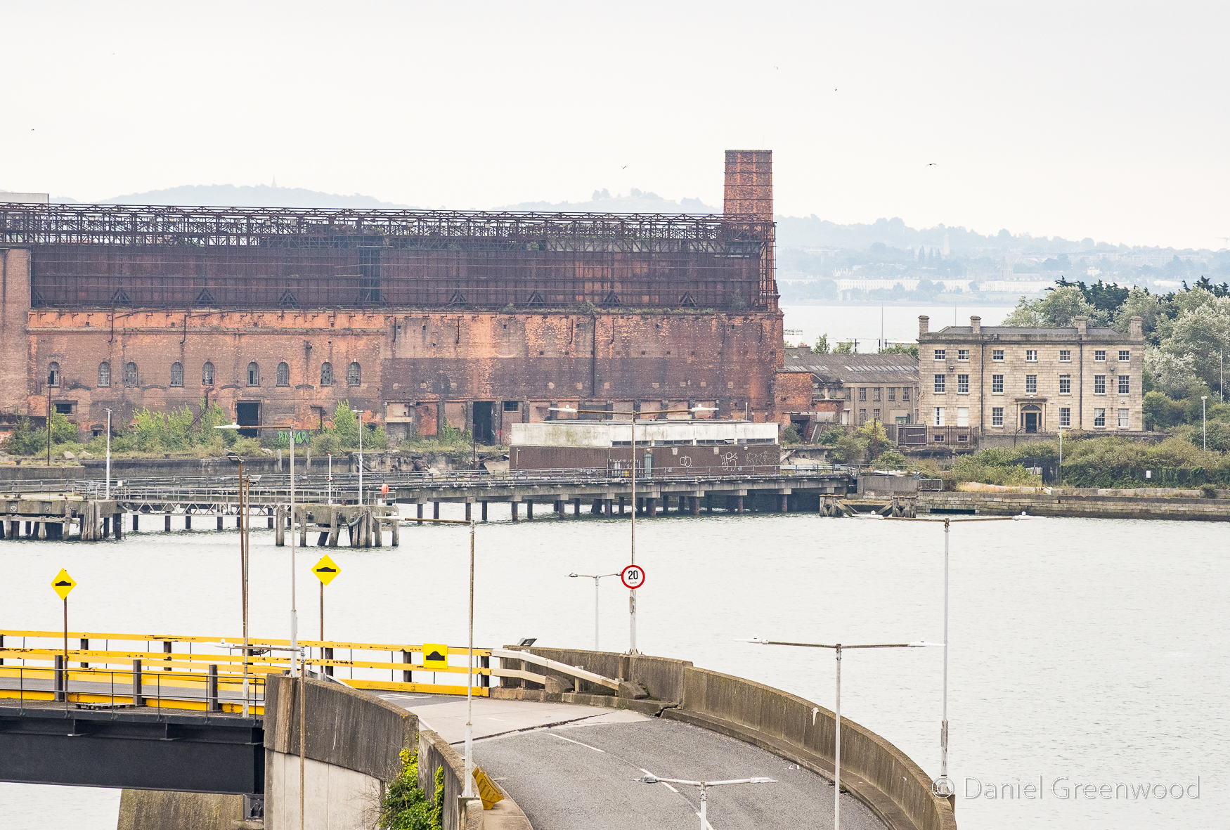
The brick building alongside Pigeon House is the Pigeon House generating station. Dublin City Council are proposing a regeneration project.
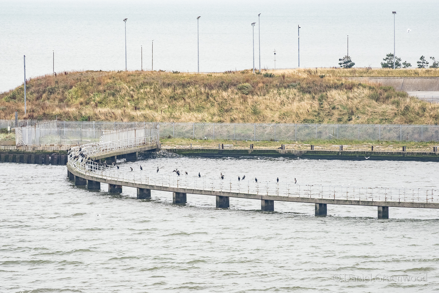
Cormorants are not hard to find, and so here are the Liverbirds perched on iron rails.
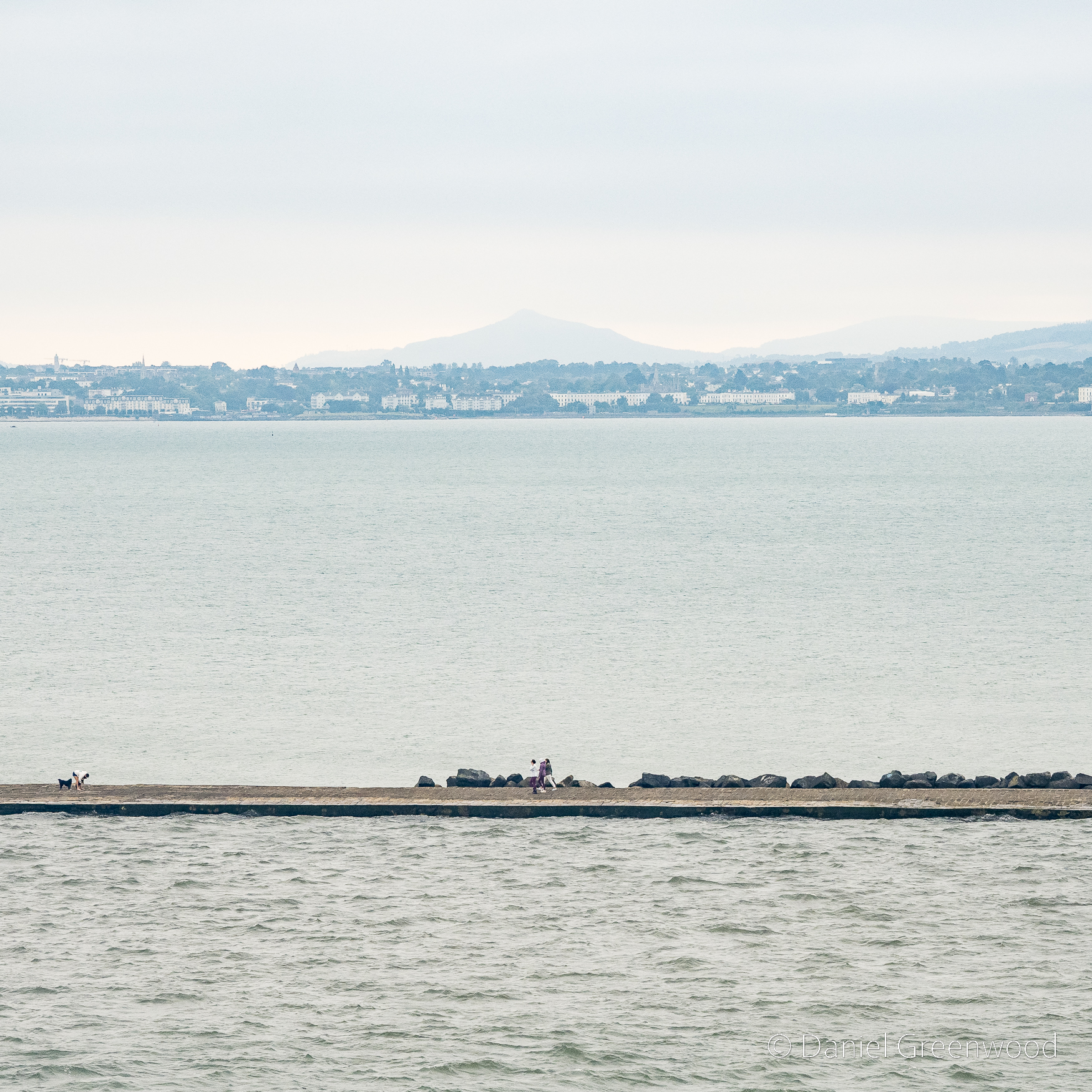
It was the world’s longest sea wall at the time of its construction in the 18th century and remains one of the longest in Europe.
https://en.wikipedia.org/wiki/Great_South_Wall
The Great South Wall’s construction began in 1717 to make the mouth of the Liffey suitable for shipping. Dublin Bay is sandy and the Liffey had problems with silting up, which didn’t allow for larger ships to move close enough inland to easily remove cargo and people.
The visibility wasn’t good on the day, but the Great Sugarloaf mountain was visible over in Wicklow. I asked a friend from Bray, south of Dublin, if he had any info to share about the mountains there. His reply:
‘We used to climb it every New Year holidays when we were young. It has a sister mountain called the Little Sugarloaf. But I’ve never been up that one, cause Dad accidentally took us up the bigger one when we were little and never bothered to go up the smaller one’.
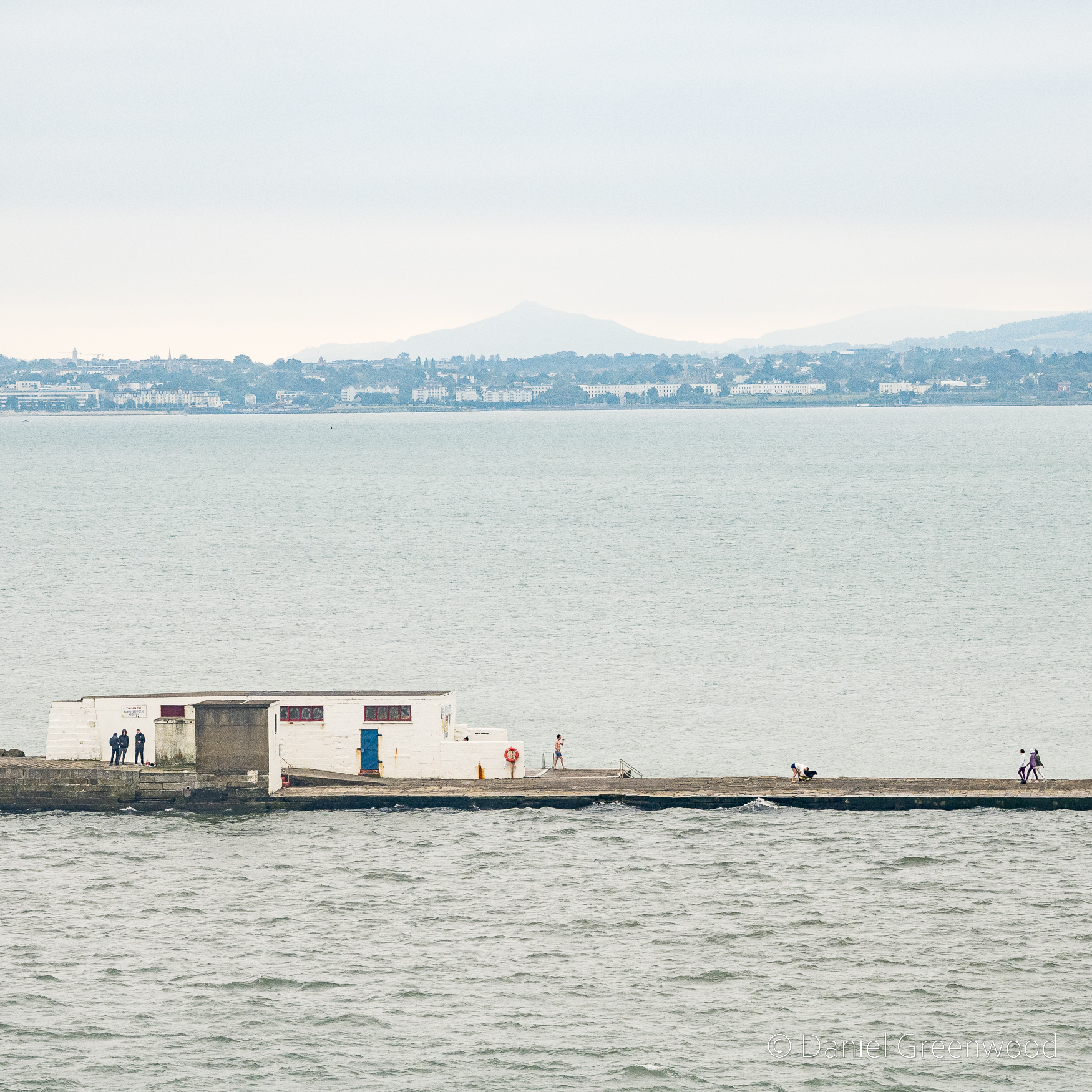
There’s quite a lot happening here. From the left three people huddle behind the wall, someone in swimming trunks on the other side, and someone crouching down to their dog.

I found this 18th century picture of the Wicklow mountains and Dublin Bay, and possibly even the site of Dublin Harbour (as stated in the caption of the painting) before its modernisation.
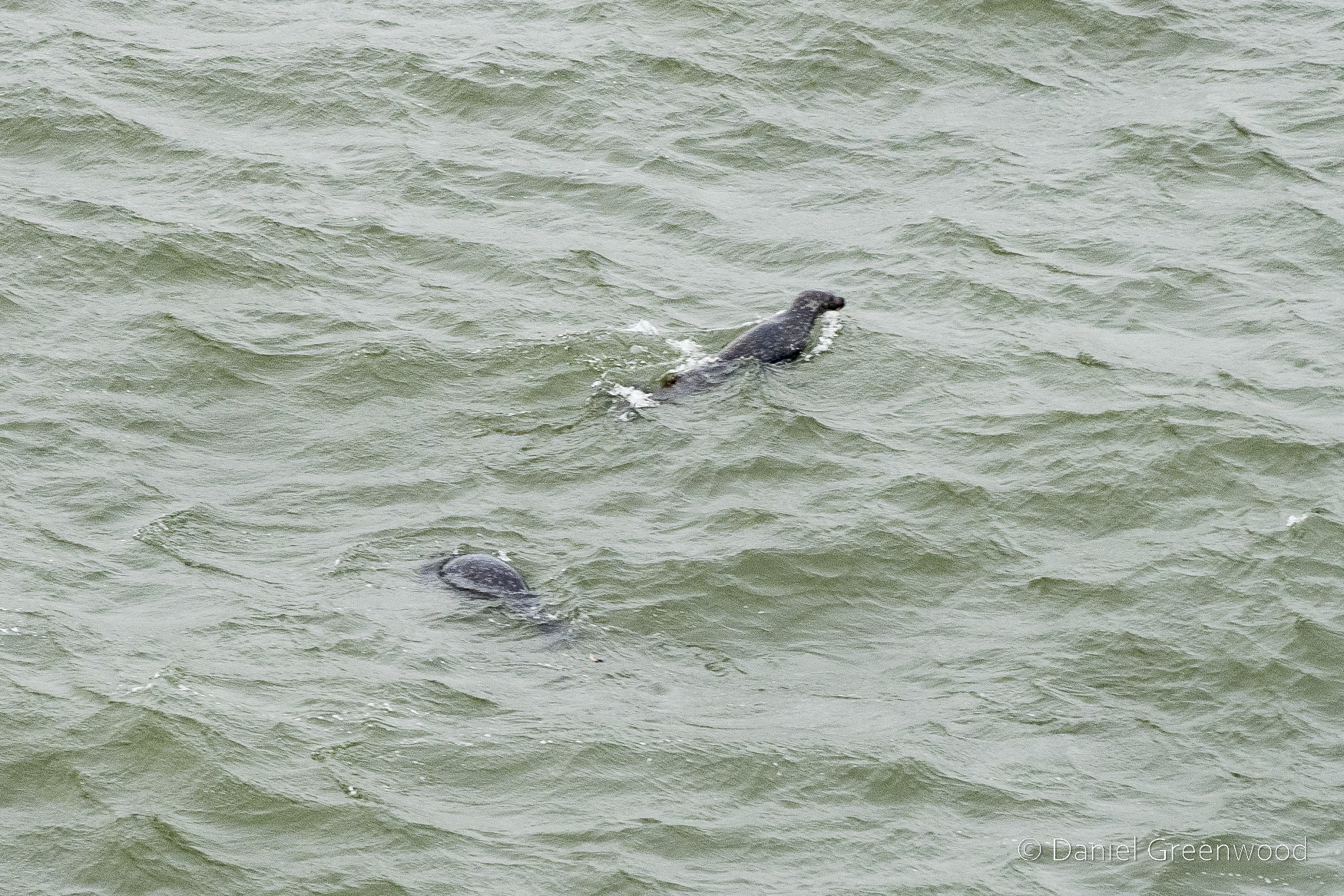
Inside the South Wall still I got this somewhat blurry shot of two Atlantic grey seals. They are supposed to be coping well despite the major upgrades to the port. Seals appear in Ulysses:
A voice, sweettoned and sustained, called to him from the sea. Turning the curve he waved his hand. It called again. A sleek brown head, a seal’s, far out on the water, round.
James Joyce, Ulysses, p. 29 (1960)
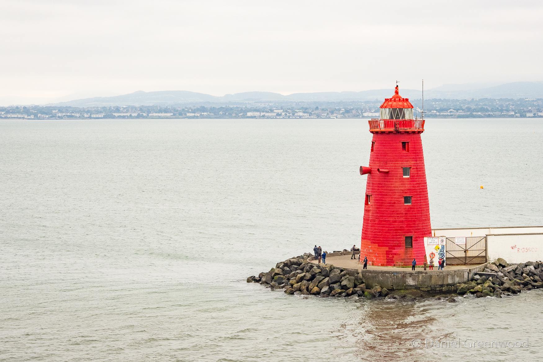
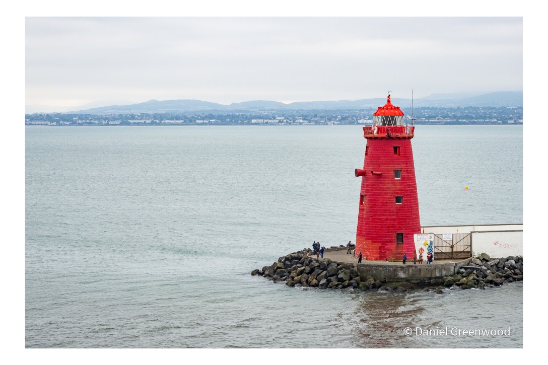
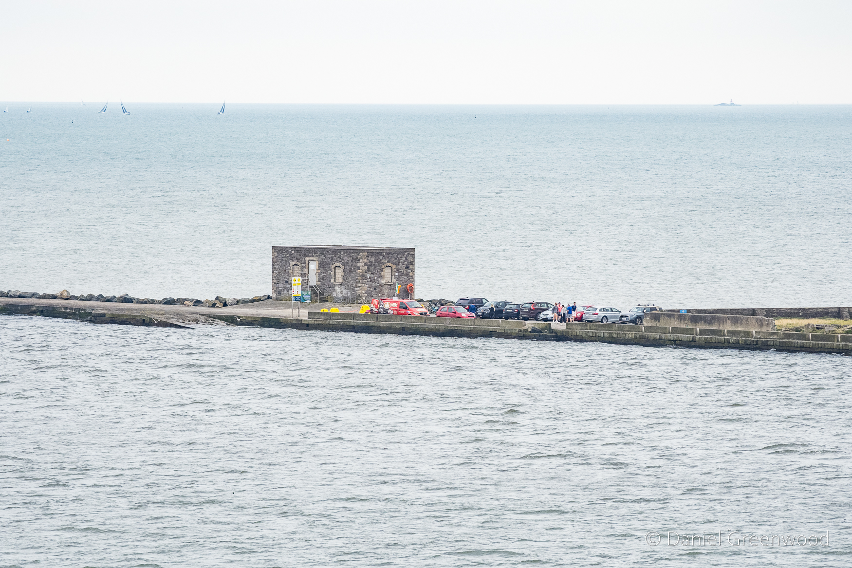
At the end of the Great South Wall the Poolbeg Lighthouse is impossible to miss, which I suppose is the point! A lighthouse was first here in 1767 and the current lighthouse was built in 1820.
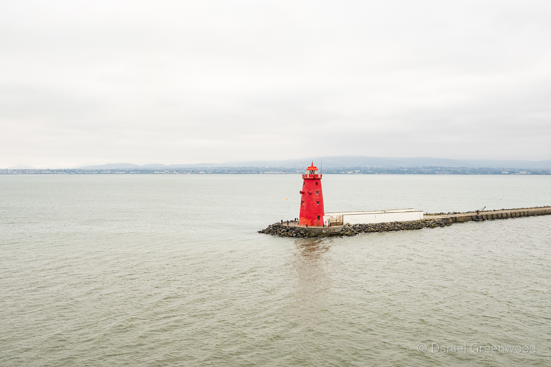
Ciao for now, Poolbeg Lighthouse.
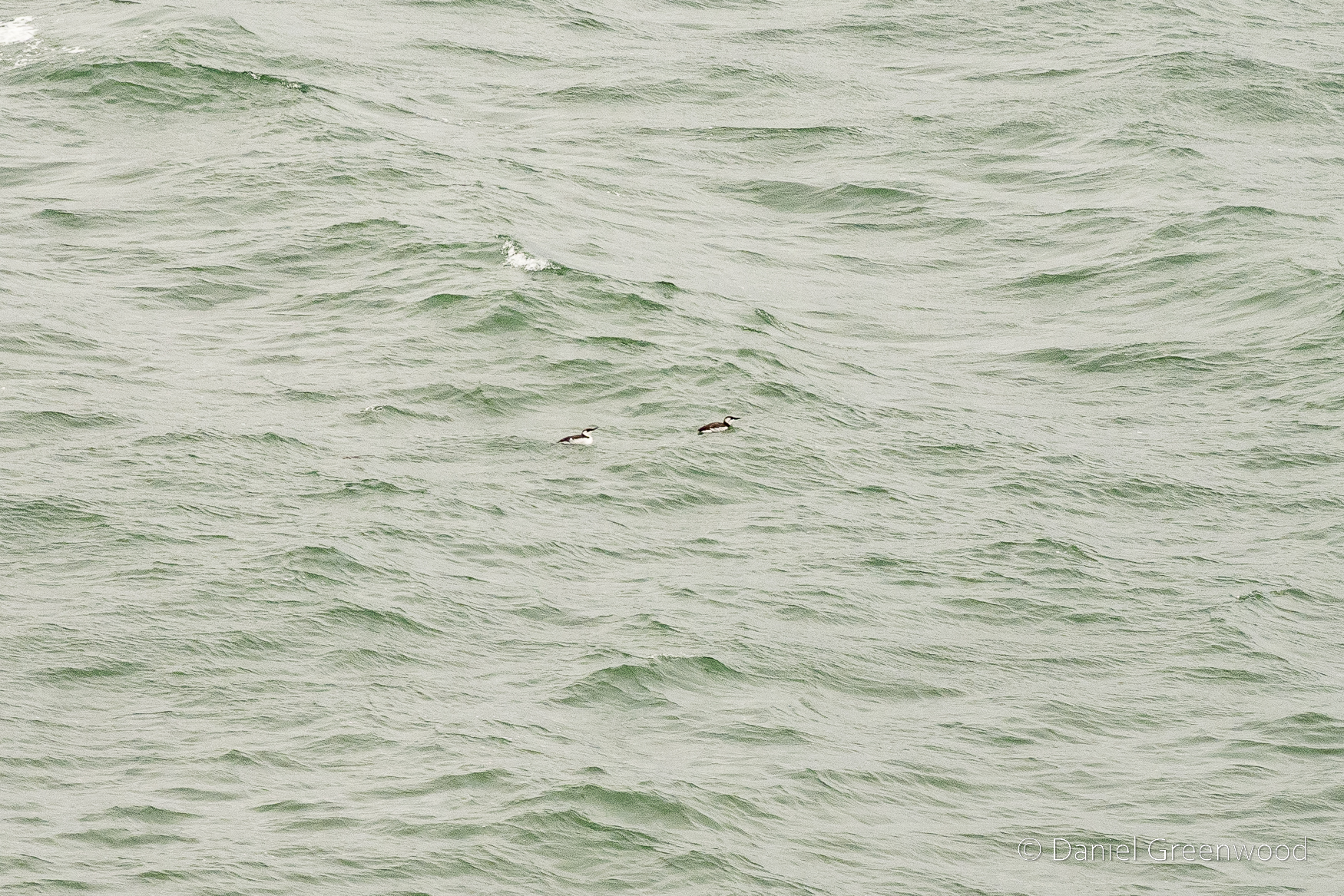
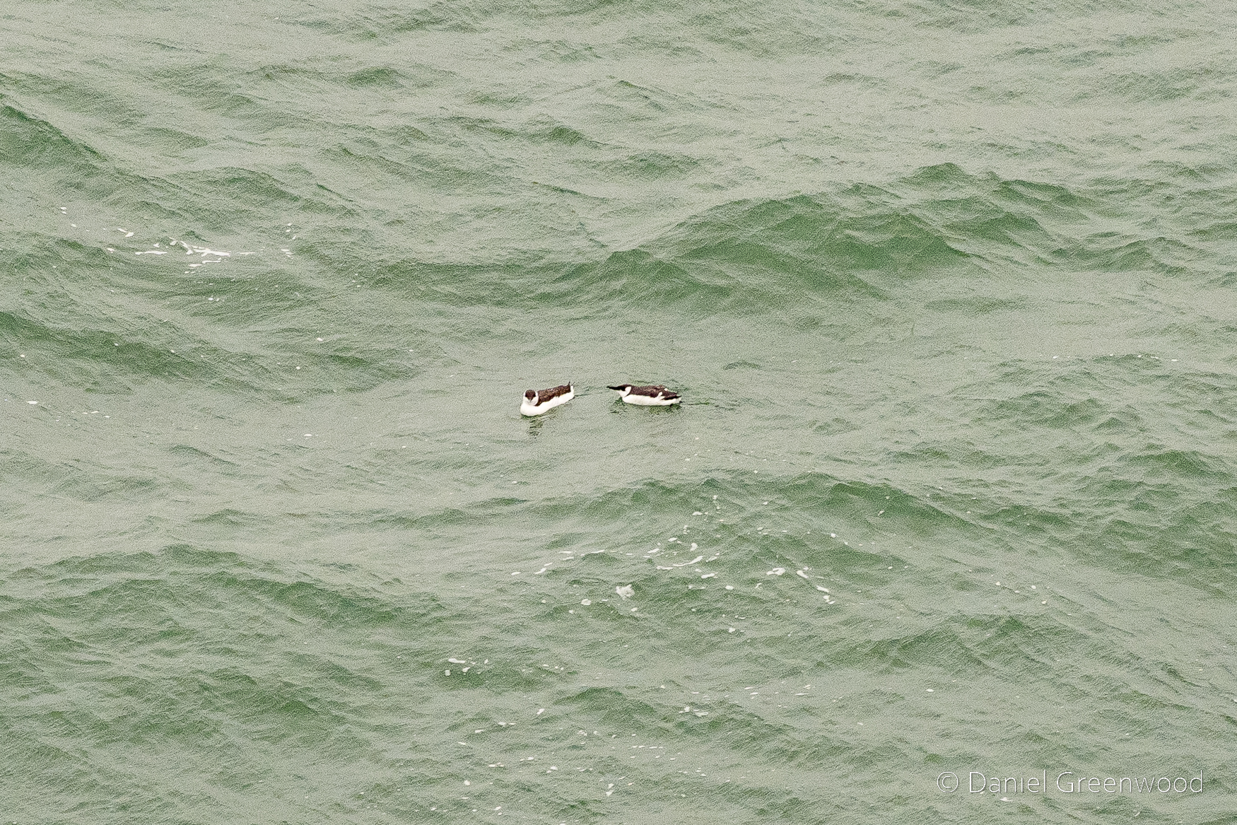
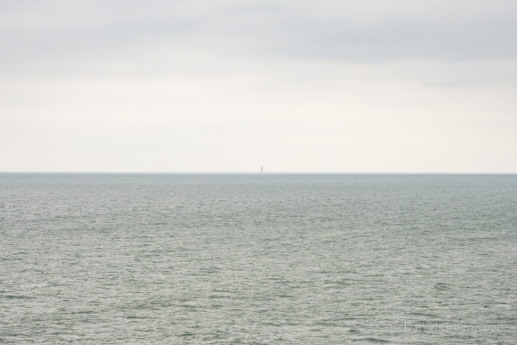
Passing out of Dublin Harbour and entering Dublin Bay proper, little auks were floating on the surface of the sea. Is there any more difficult form of birding than sea-watching?
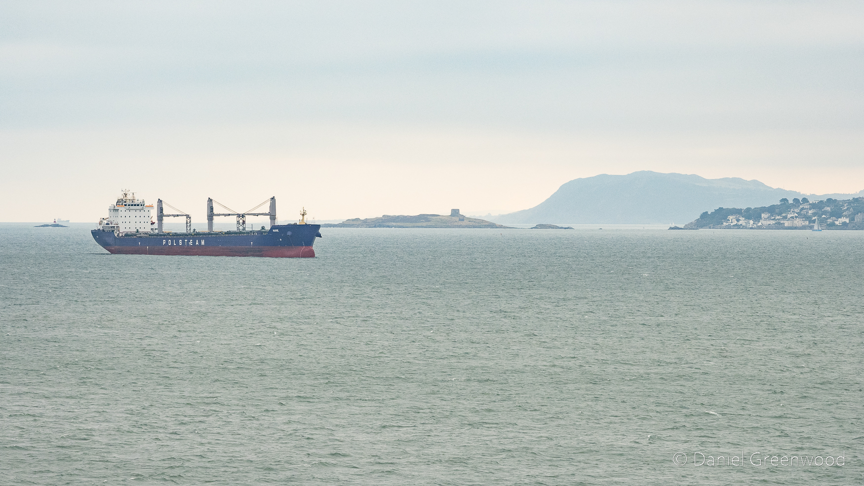
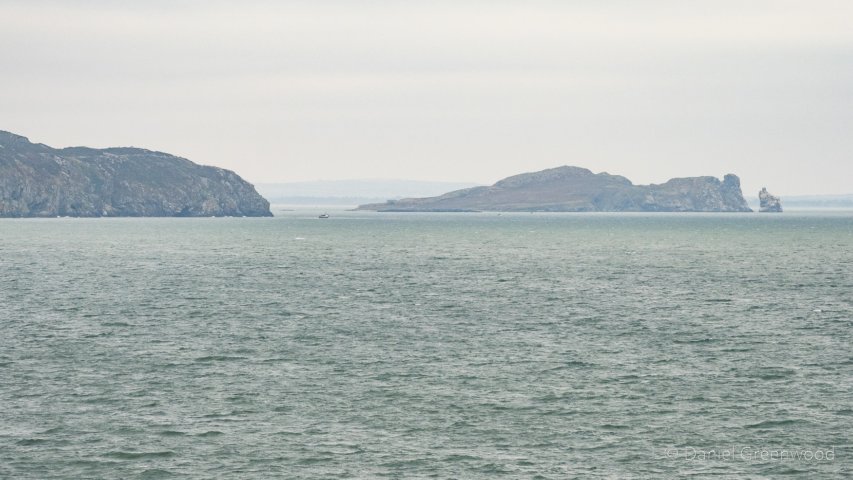
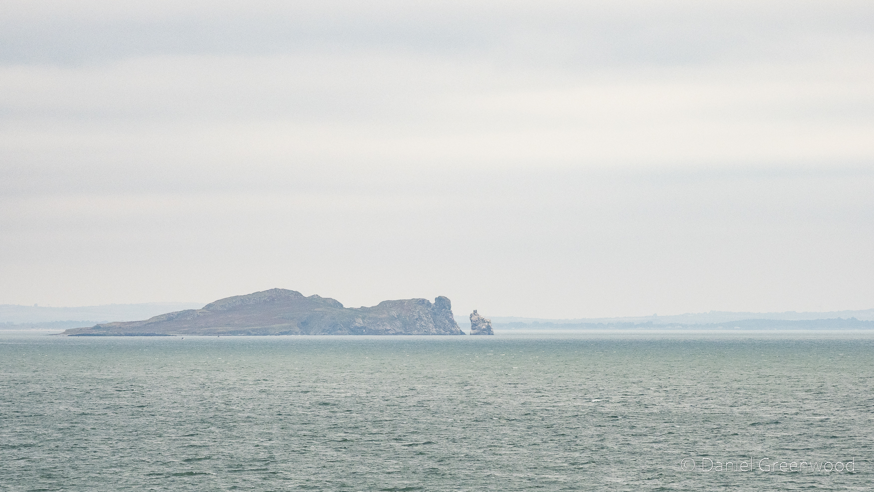
Beyond the Polsteam ship is Dalkey Island to the south-east of the port. You may not be surprised to read that Polsteam is a Polish shipping company.
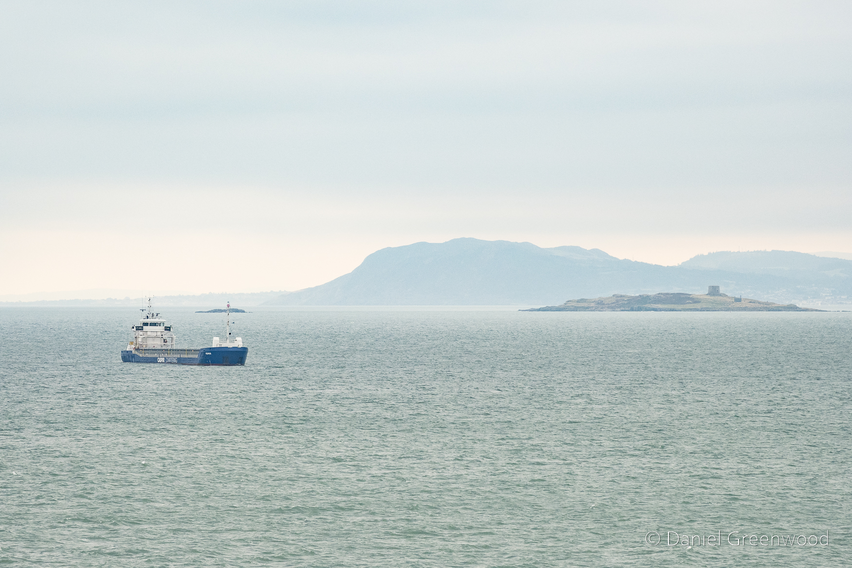
The little building on the island is the Martello Tower, a building apparently constructed by the British to repel French invasion during the French Revolutionary Wars of the late 18th to early 19th centuries. Dalkey Island appears to be littered with archaeological and historical artefacts. In the distance is Bray Head, which Joyce describes in the early pages of Ulysses:
They halted, looking towards the blunt cape of Bray Head that lay on the water like the snout of a sleeping whale.
James Joyce, Ulysses, p.14 (1960)
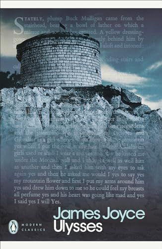
The Martello Tower in my photos is not the same as the one featured in Ulysses. I thought I recognised the shape, actually, and it was because of this Penguin Modern Classics front cover being lodged in my mind as a book I needed to read! This is now known as James Joyce Tower and is found in Sandycove on the coastal mainland of Dublin.
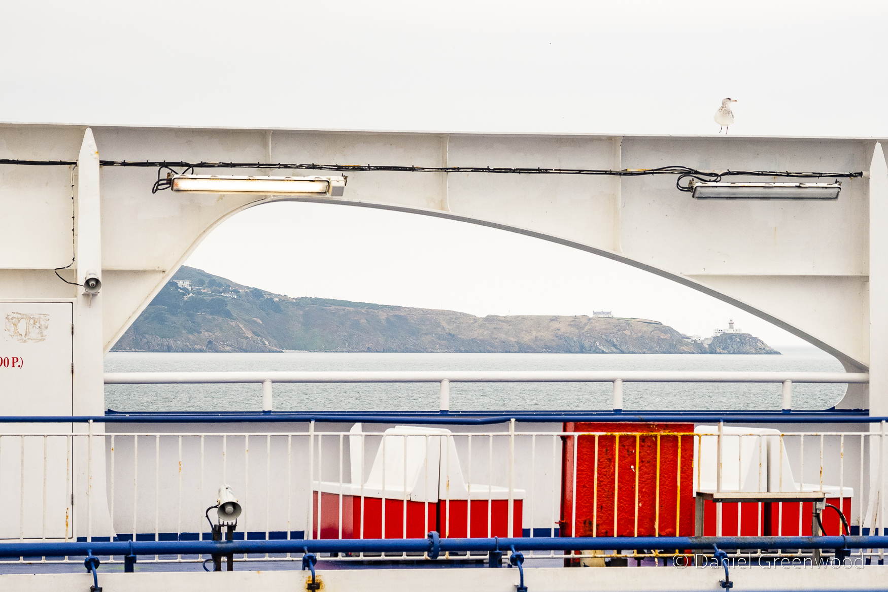
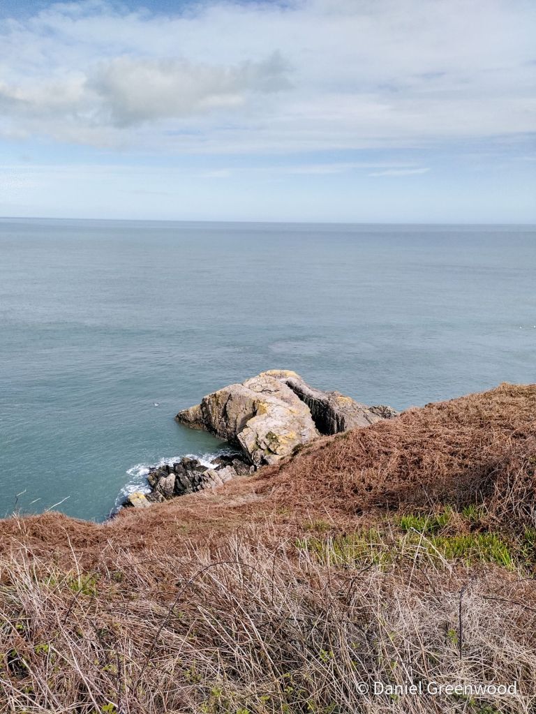
I switched to look north toward Howth on the other side of the deck. The ‘spit’ of Howth’s Great Baily was framed so nicely by the arch of the ferry, with Baily Lighthouse at the tip.
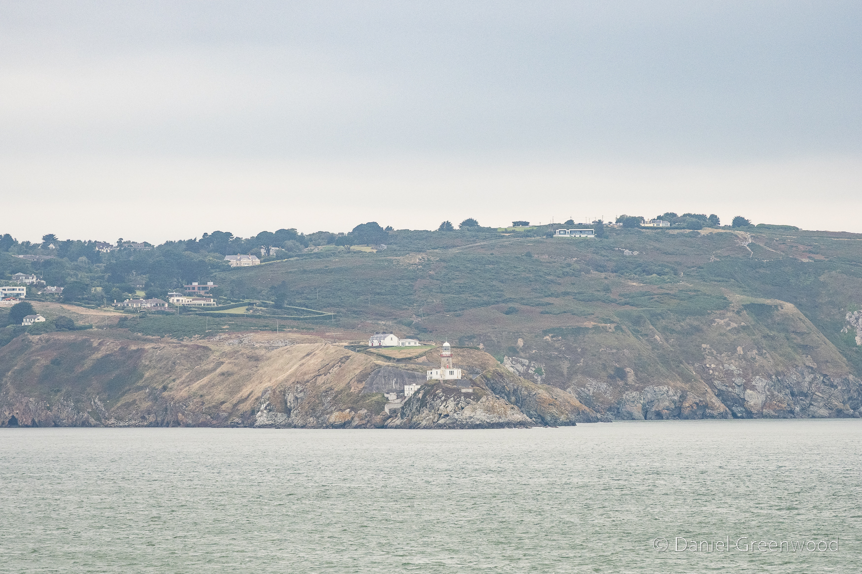
A more advanced view. A lighthouse has been on the site since 1667.
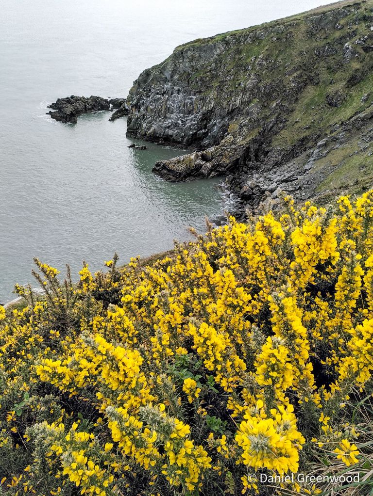
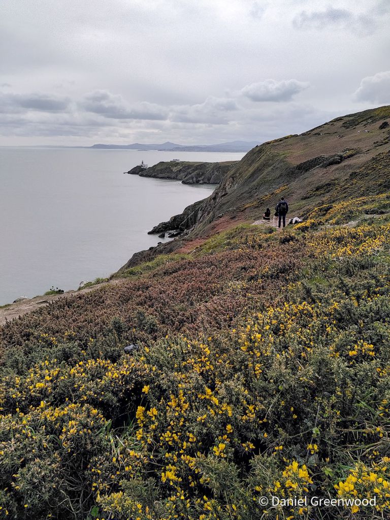
I visited Howth during my stag weekend in earlier in 2024 and did the cliff walk with friends and family. How sophisticated.
Ireland’s Eye is an uninhabited island that hoves into view beyond Howth as the ferry journey progresses. It’s part of the Dublin Bay Special Protection Area (one of the highest EU designations for nature) and is important for its breeding seabird populations and plants.
You can read the management plan if you’re into ecology PDFs.
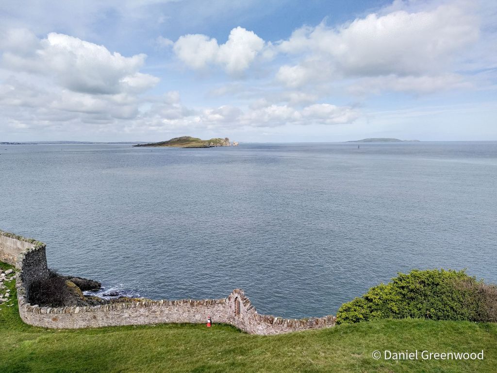
Ireland’s Eye visible from the coast of Howth in better weather in March 2024, when I didn’t know what it was.
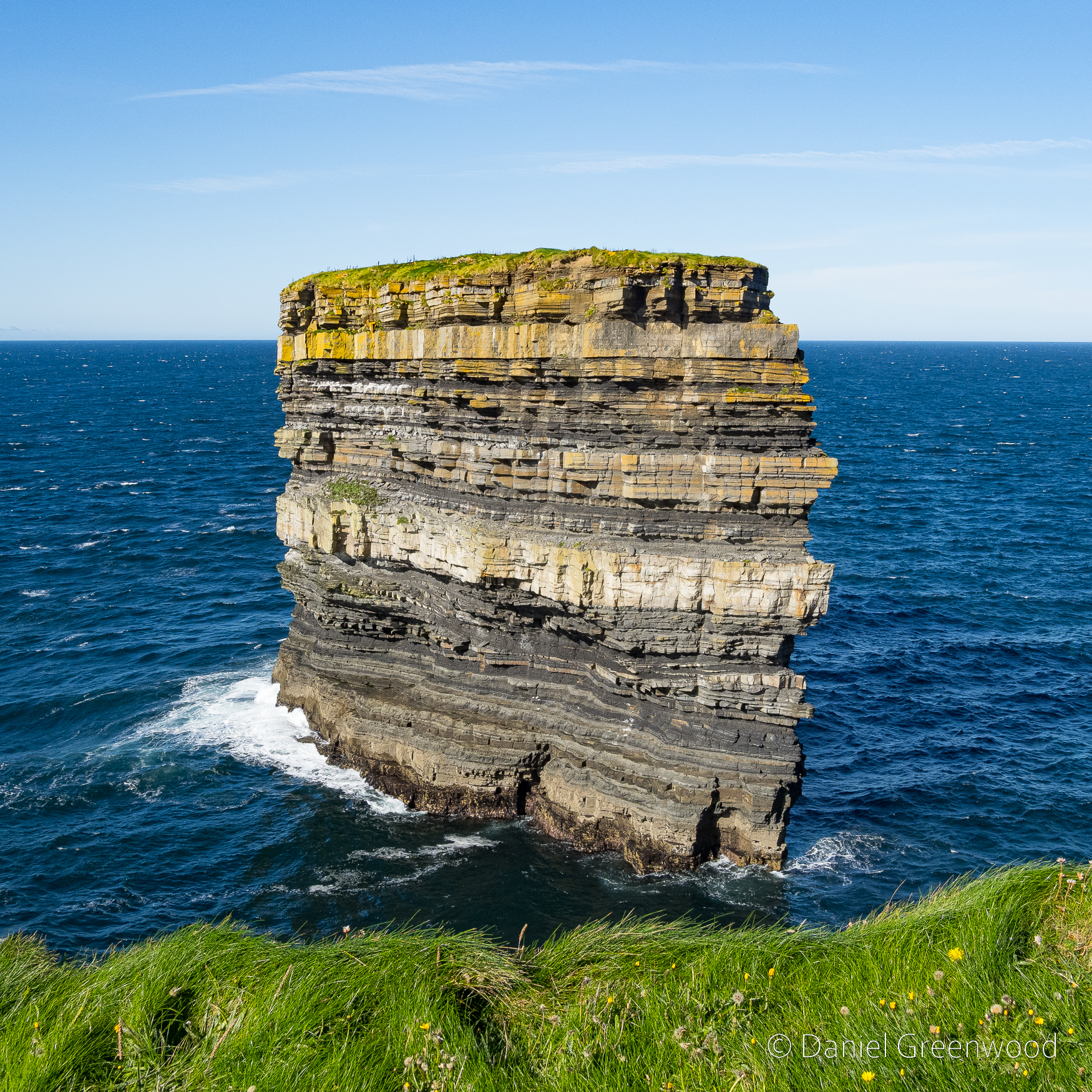
And that’s where this story ends (we made it to Holyhead, don’t worry). Keep an eye out for more Irish coastal blogs in the coming months, but those will be on the Atlantic coast of Ireland.
Here’s a short video of the ferry leaving Dublin Bay in better weather.
Thanks for reading, happy sailing!
More blogs about Ireland:


_Altmann_-_Zweig_and_Roth_in_Ostend_in_1936.jpg)