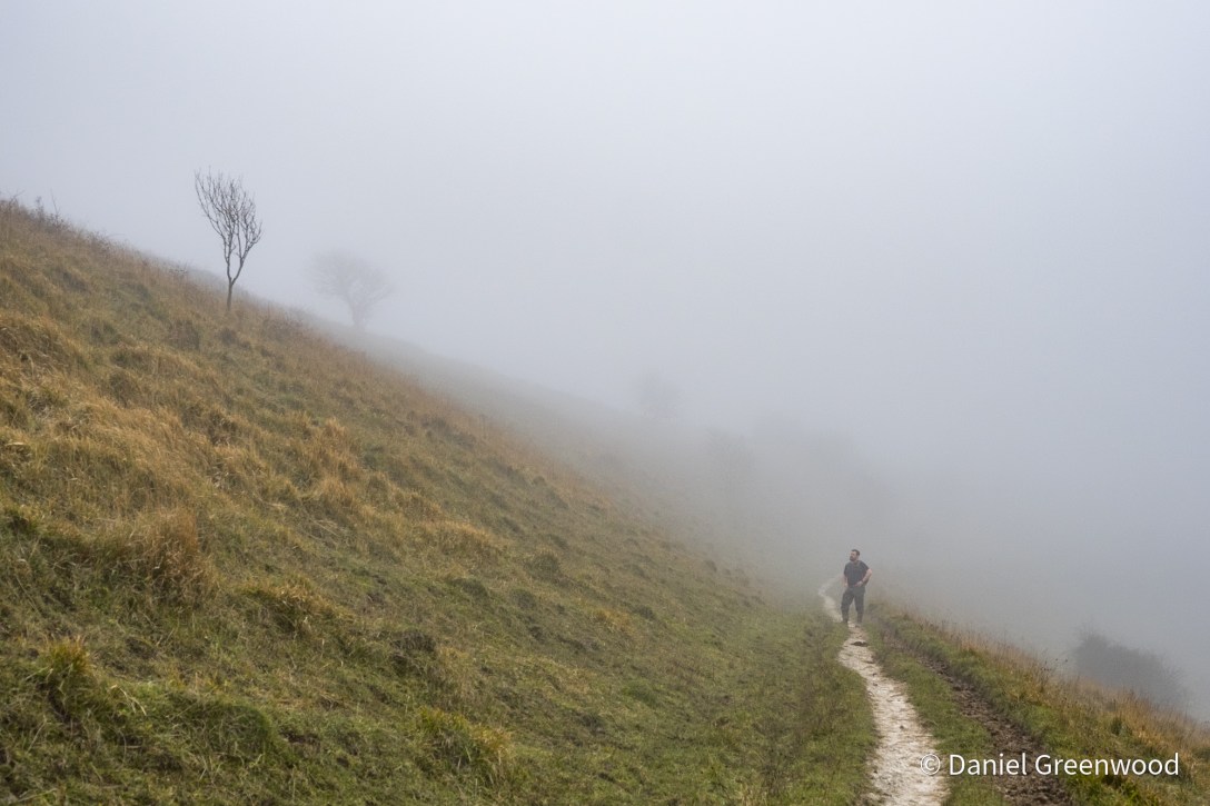
Ditchling, East Sussex, November 2024
This post describes a very foggy walk from the village of Ditchling in East Sussex, up onto Ditchling Beacon and the South Downs Way, and then back down to Ditchling via Westmeston.
Thanks to my walking amigo Jonathan who navigated the mist, stiles and flooded valley paths with aplomb.
I passed through the Ditchling stretch of the South Downs Way again in July 2026 during the summer of many heatwaves. The blog post to come on that will show an extremely different landscape to the one seen here. I’ll link to it here when it’s ready.
Ditchling’s settlement dates from Anglo-Saxon times (AD400-1066) and the name itself is Saxon, the name likely relating to ‘dykening’ which signifies an enclosed area of land. In the 11th Century Ditchling was known as ‘Diccelingum’.
There’s a Roman road running just north of the village. Henry Cheal describes the place in his History of Ditchling as a Roman stronghold, and that the earthworks on Ditchling Beacon are ‘distinctly Roman in character’. It was so misty up there on this walk that no earthworks could be seen.
More recently (lol), in Anglo-Saxon times Ditchling belonged to King Alfred the Great (871–899). His father Ethelbert was buried at nearby Steyning. Alfred likely resided at Ditchling after defeating the Viking hordes.
Right, off we go.
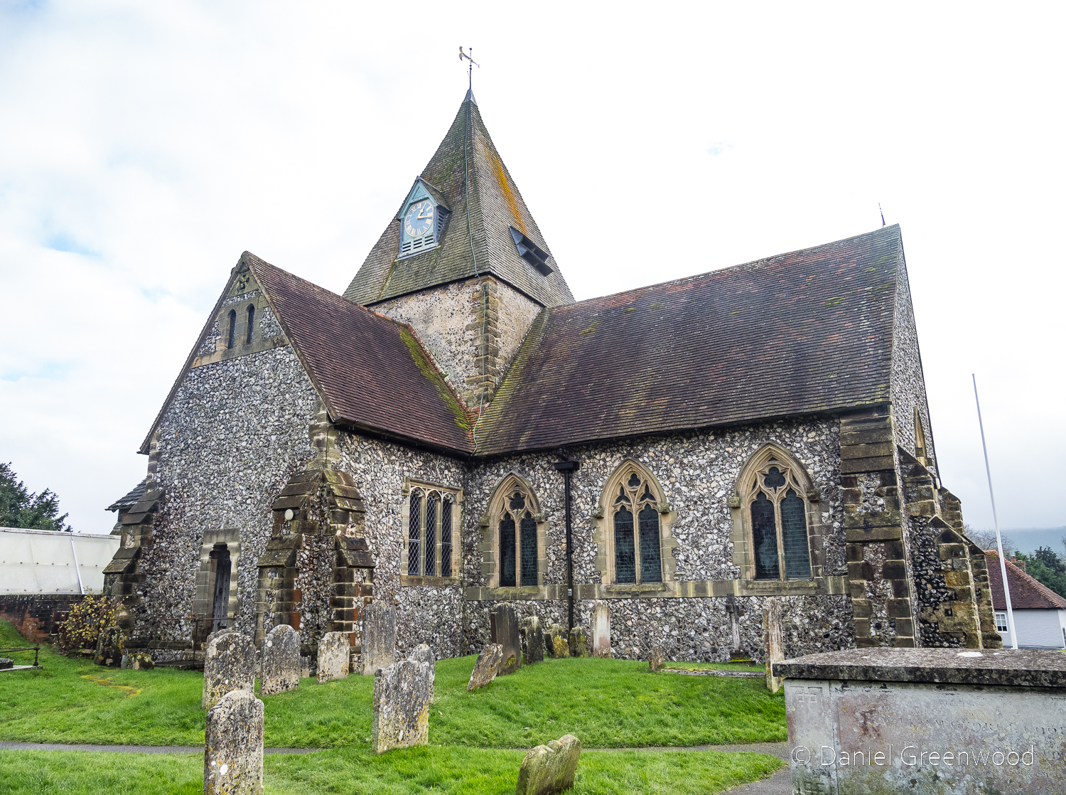
This walk began at St. Margaret’s church. The church here is largely Norman in structure (1066-) and is noted in the Domesday Book (1086) but some of the foundations are believed to be Saxon and linked to Alfred. We didn’t go into the church so it’s just external photos here.
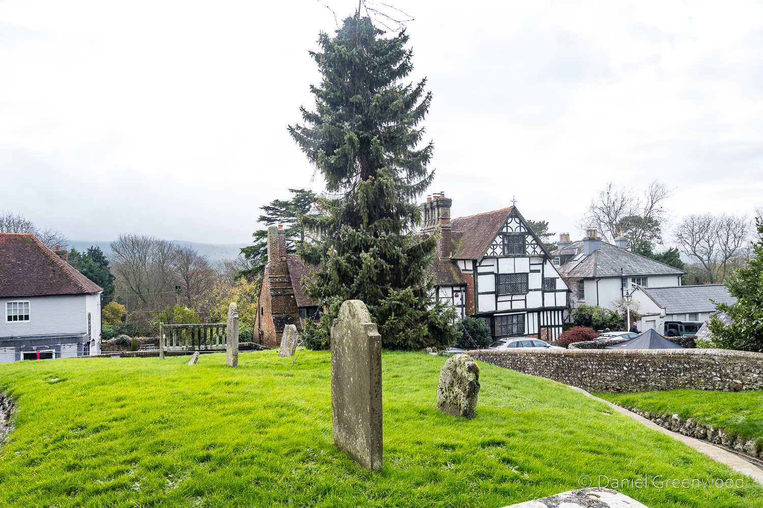
From the church’s hillock you can see the South Downs beyond and the timber-framed building of Anne of Cleves House. This photo was taken at the end of the walk. At the start it was so misty you couldn’t actually see the Downs.
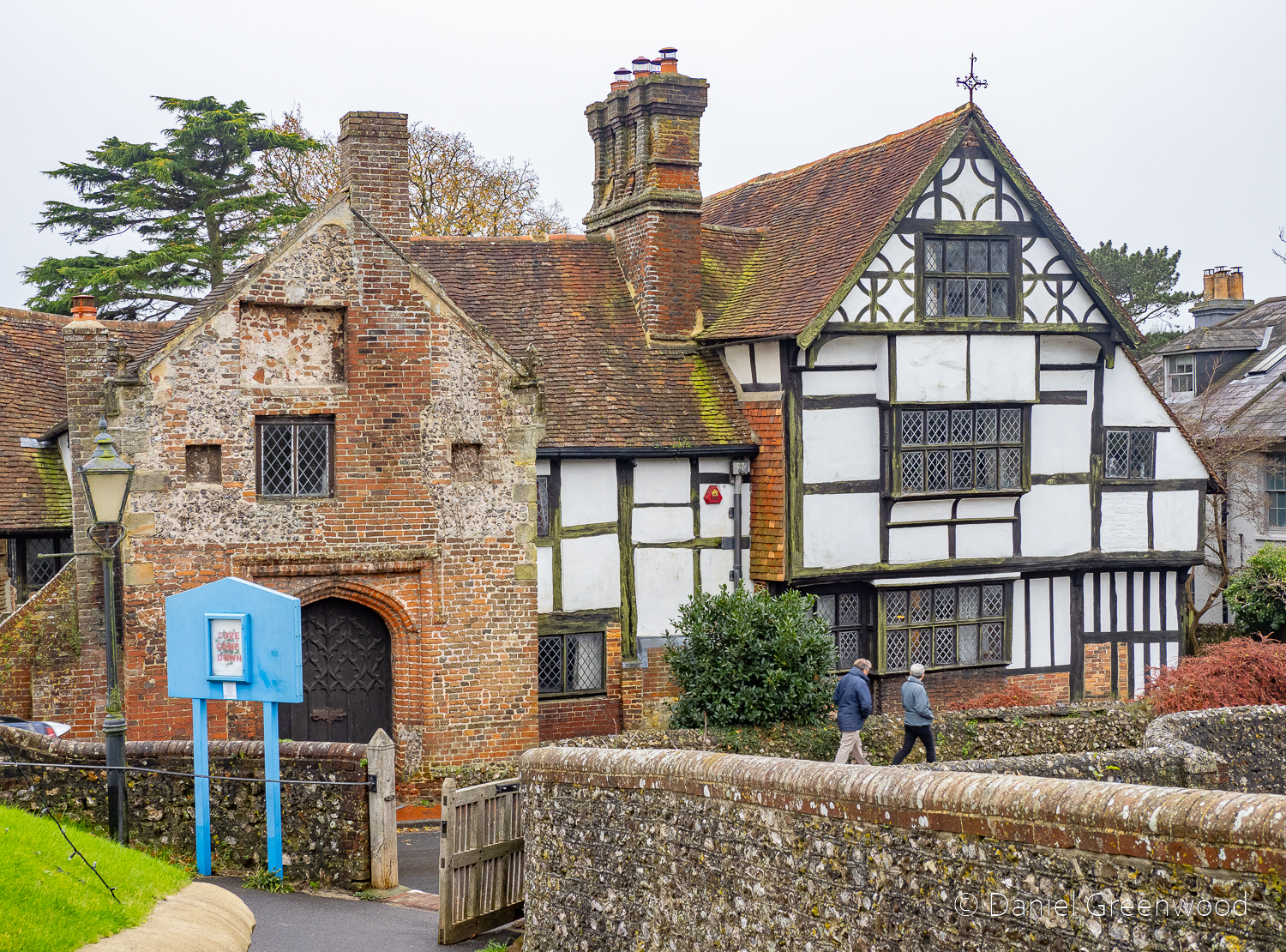
Anne of Cleves House, also known as Wings Place, is one of the finest Tudor mansions still standing (Historic England official listing). It’s called Anne of Cleves because it was given to her by Henry VIII after their divorce. She also received Anne of Cleves House in Lewes, where I got married in 2024!
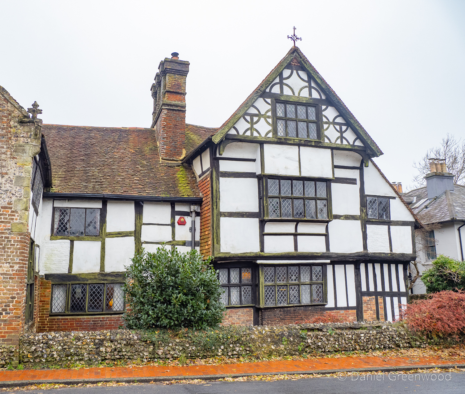
The house as seen from across the road. There is a myth that Alfred lived here or built it. Jamie Theakston did, though.
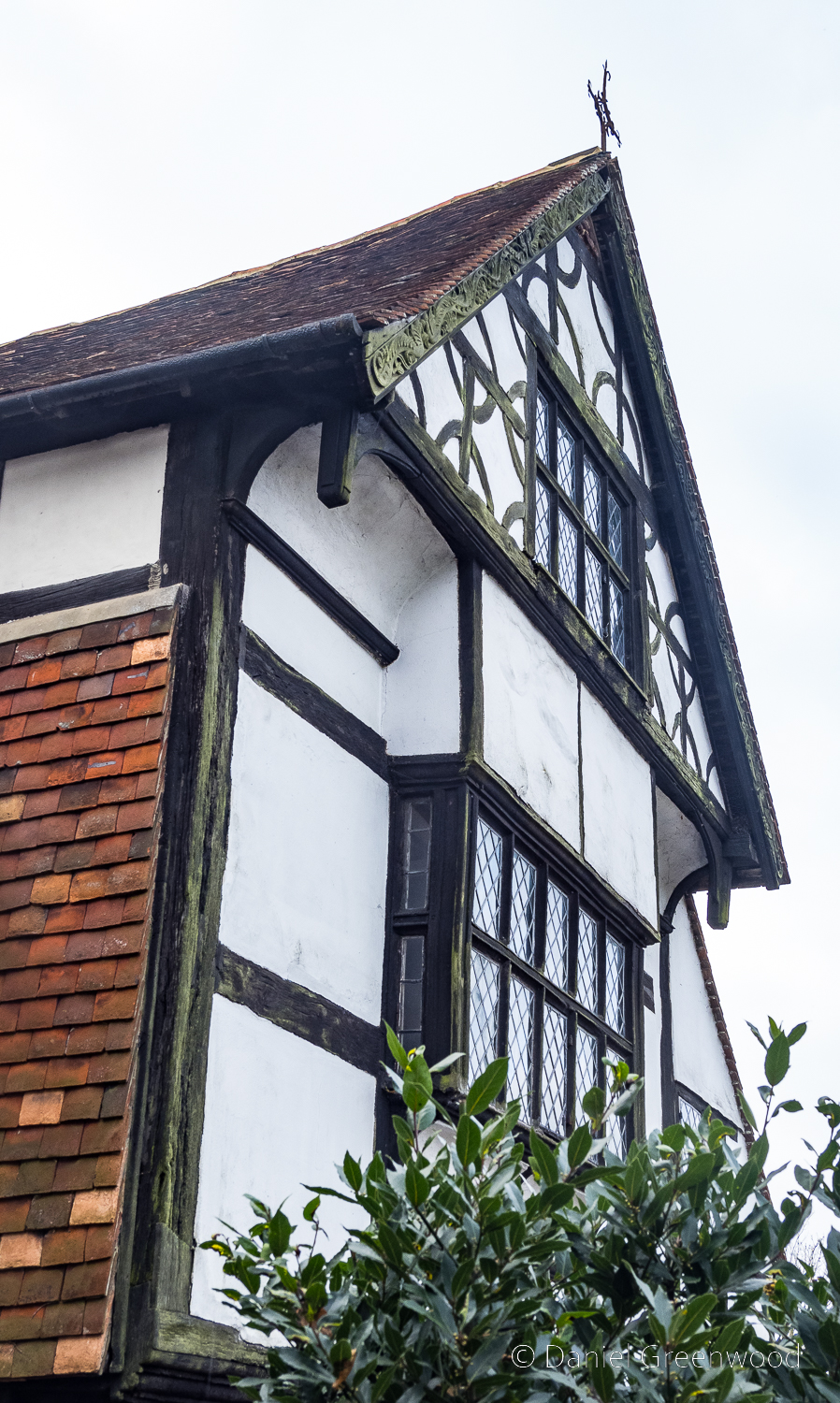
The jetty-style windows indicate that this is a Tudor building (or older in this case).
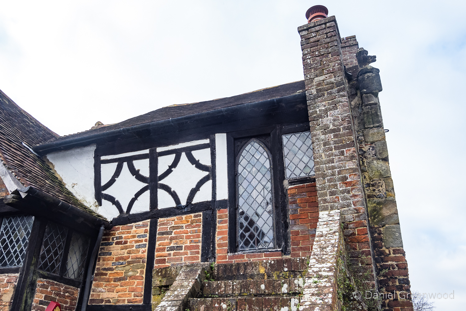
A window that perhaps was once a doorway, judging by the steps.
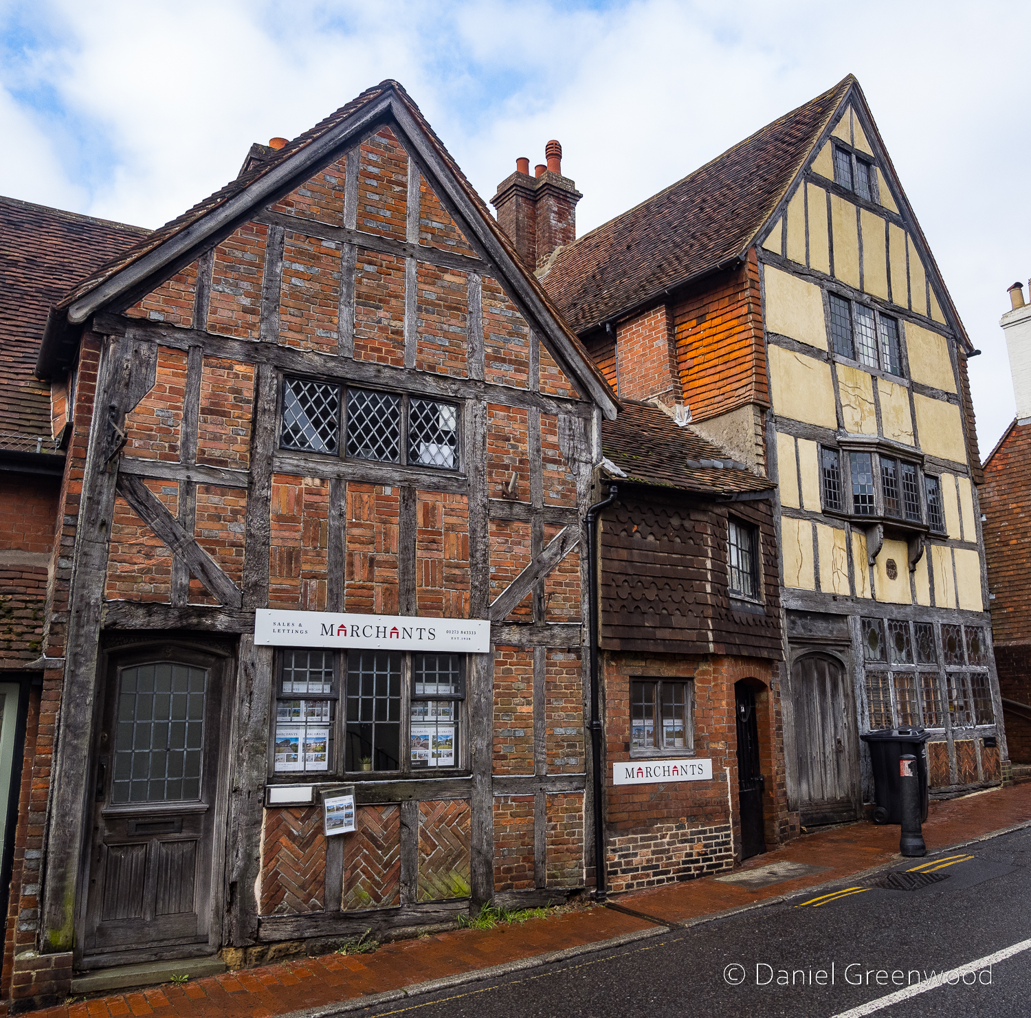
In the village centre there are more timber-framed buildings to appreciate. 7 and 9 High Street dates to the 1500s.
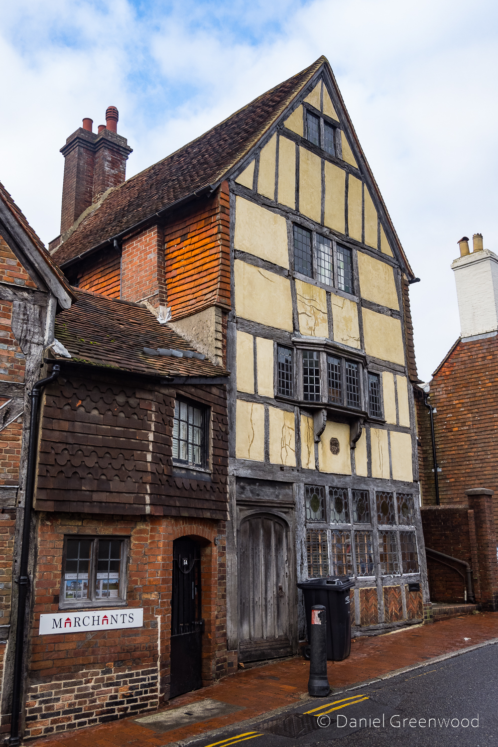
I know the bin and bollard ruin it, but that’s modern life, folks. It probably would have been human waste and animal dung in centuries past.
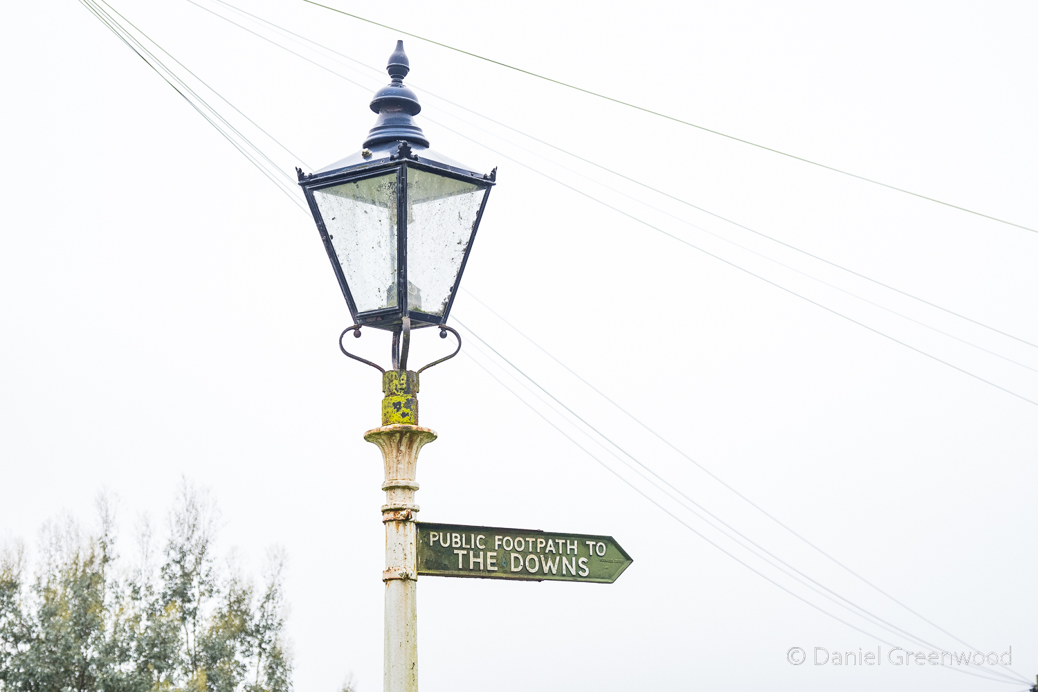
Leaving the village there’s a charming old bit of signposting to THE DOWNS.
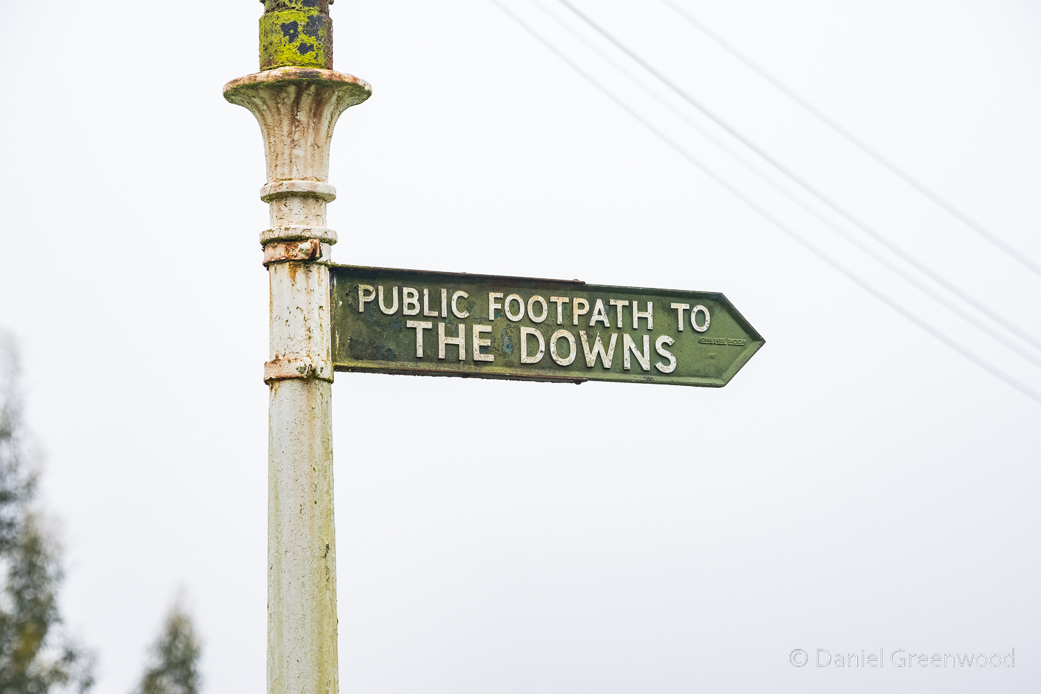
We followed the wonderful sign and headed south into very wet fields.
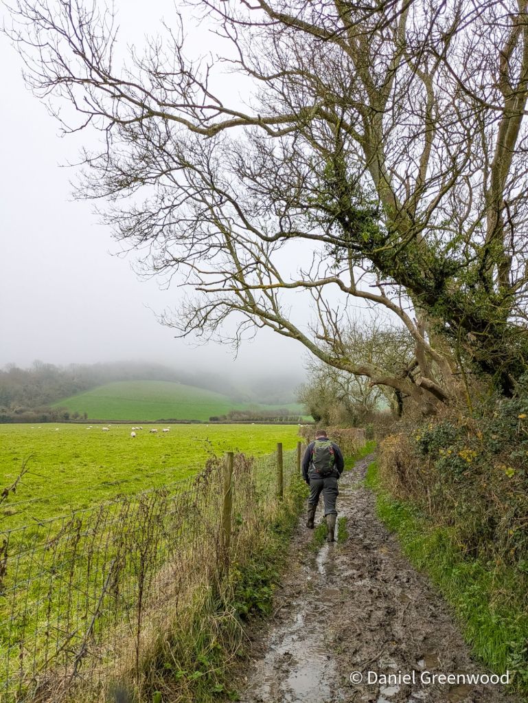
Said wet fields.
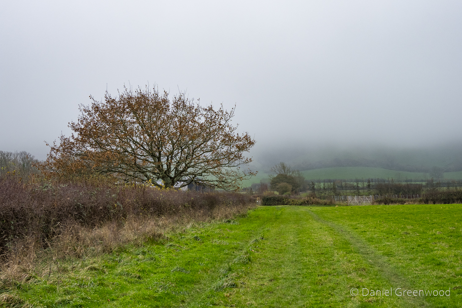
Oak trees were dotted among the hedgerows, as across much of the Low Weald. In the distance, the Downs were not visible.
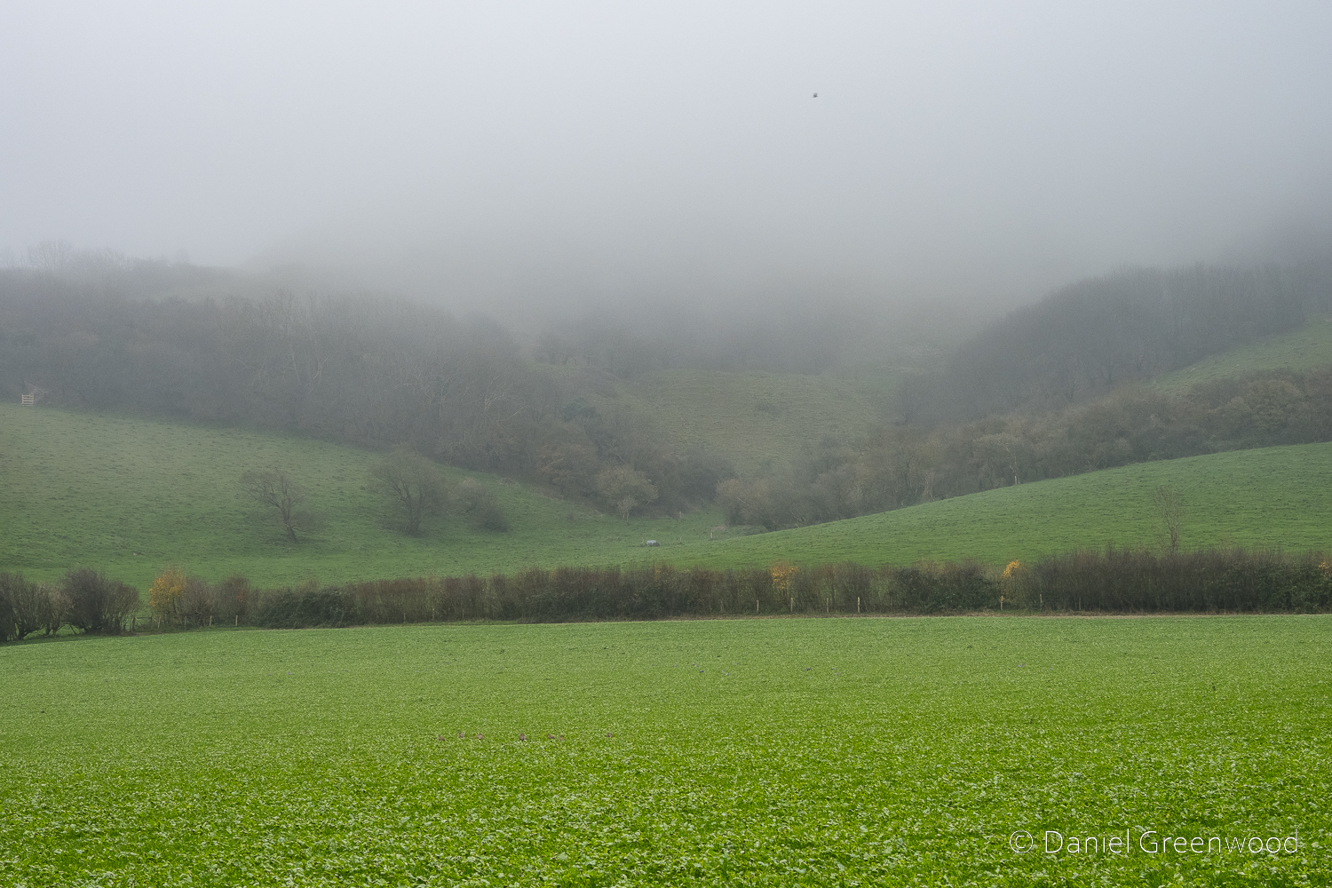
The mist caught in the escarpment woodlands. We soon turned off the lane and headed up onto Burnhouse Bostall, the name of the trackway that takes you up onto the Downs. These are very old paths, with ‘bostall/bostal’ being a Saxon word. It’s considered a Sussex version of ‘borstal’. A borstal is also a name for a juvenile detention centre, apparently.
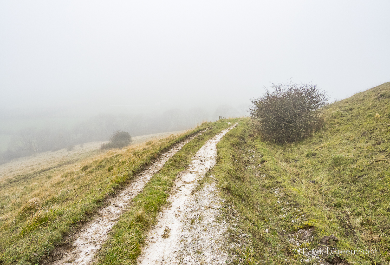
We ascended on the bostall into the clouds. The clay was replaced with that treacherous slick of sloppy chalk.
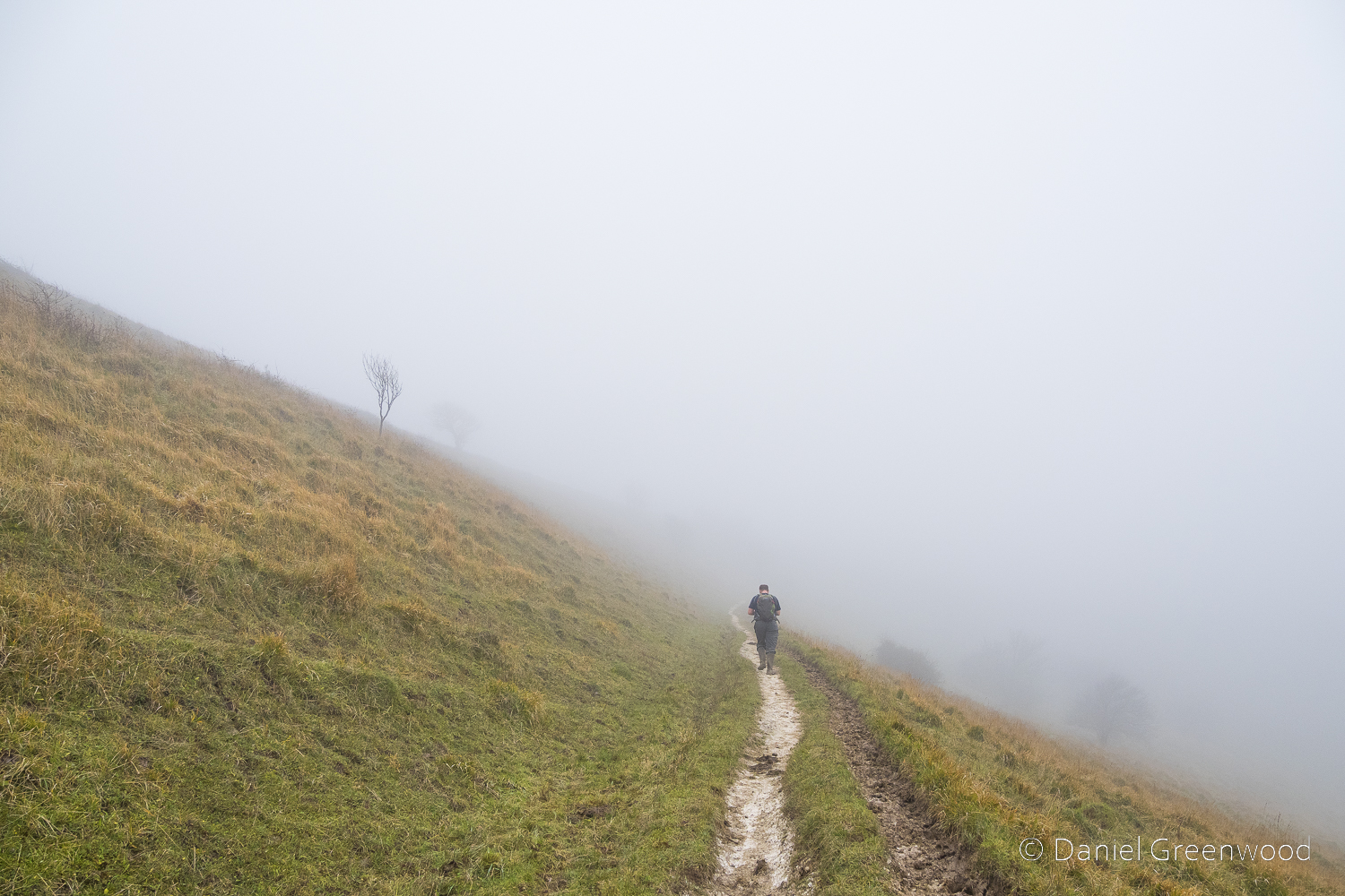
The scenery was eerie, with visibility limited to perhaps 20m ahead.
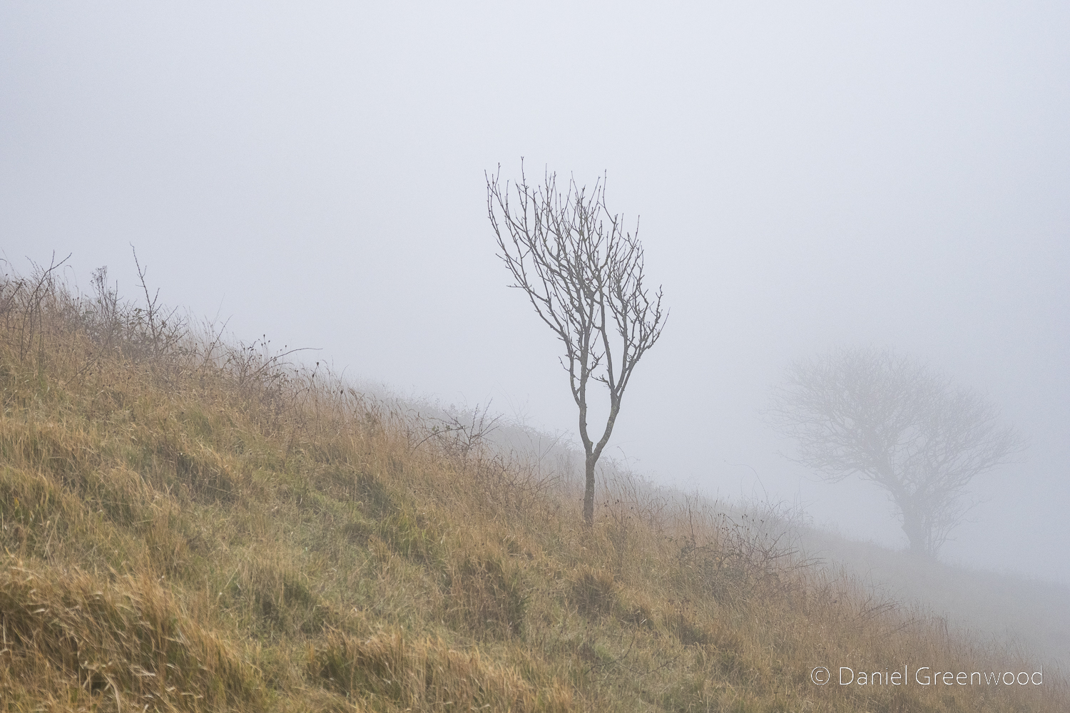
Lone trees made excellent subjects in misty isolation.
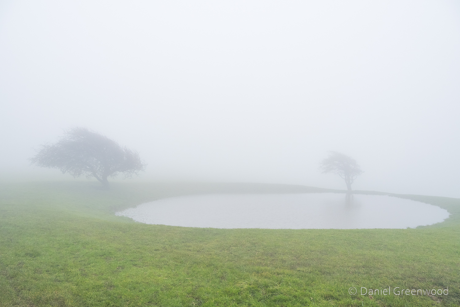
Ditchling dewpond: this is an iconic landmark along the South Downs Way and was my first time visiting. We had passed through a gate off the bostall and turned east on the circular route.
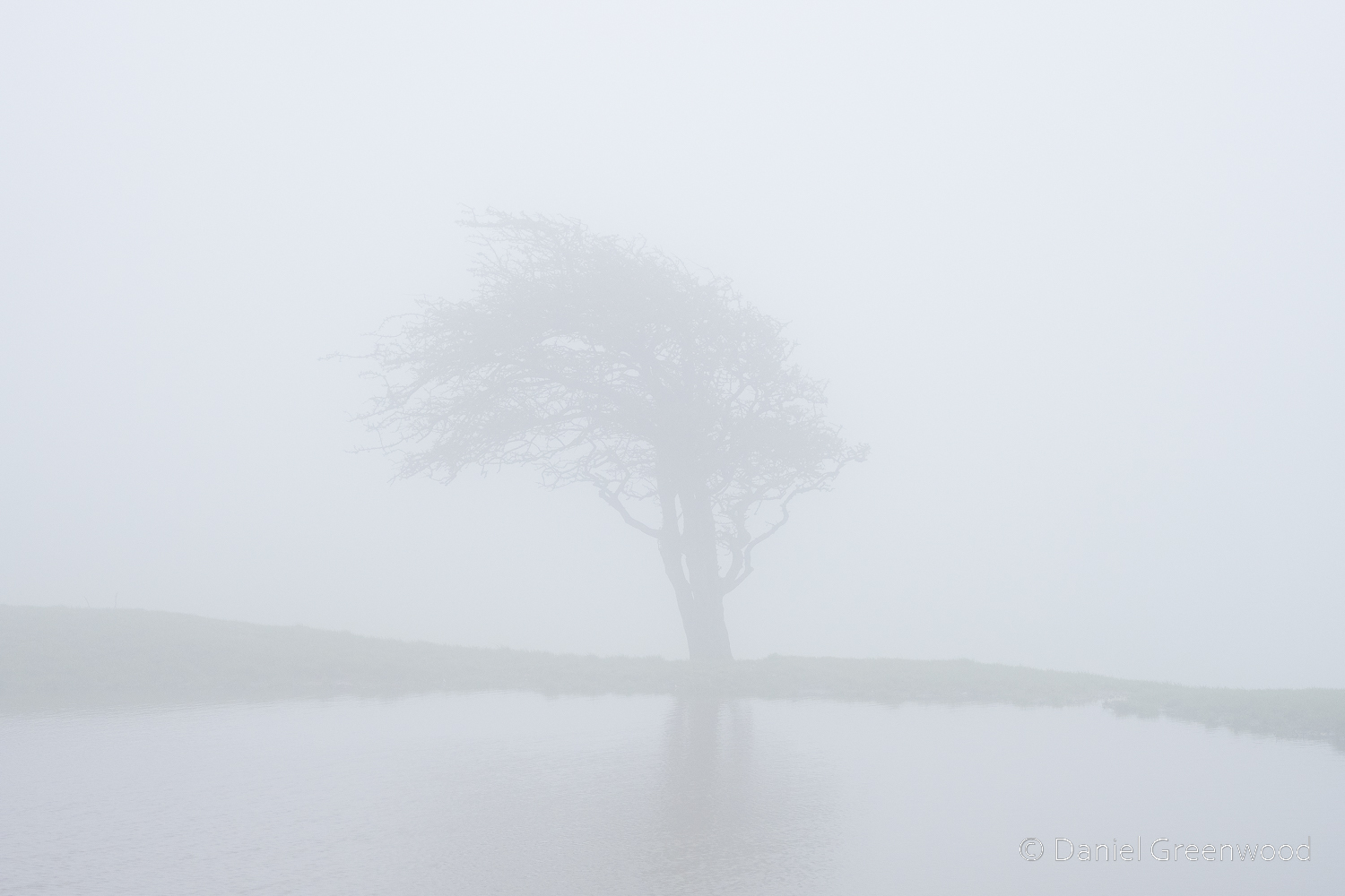
A hawthorn at the pond’s edge.
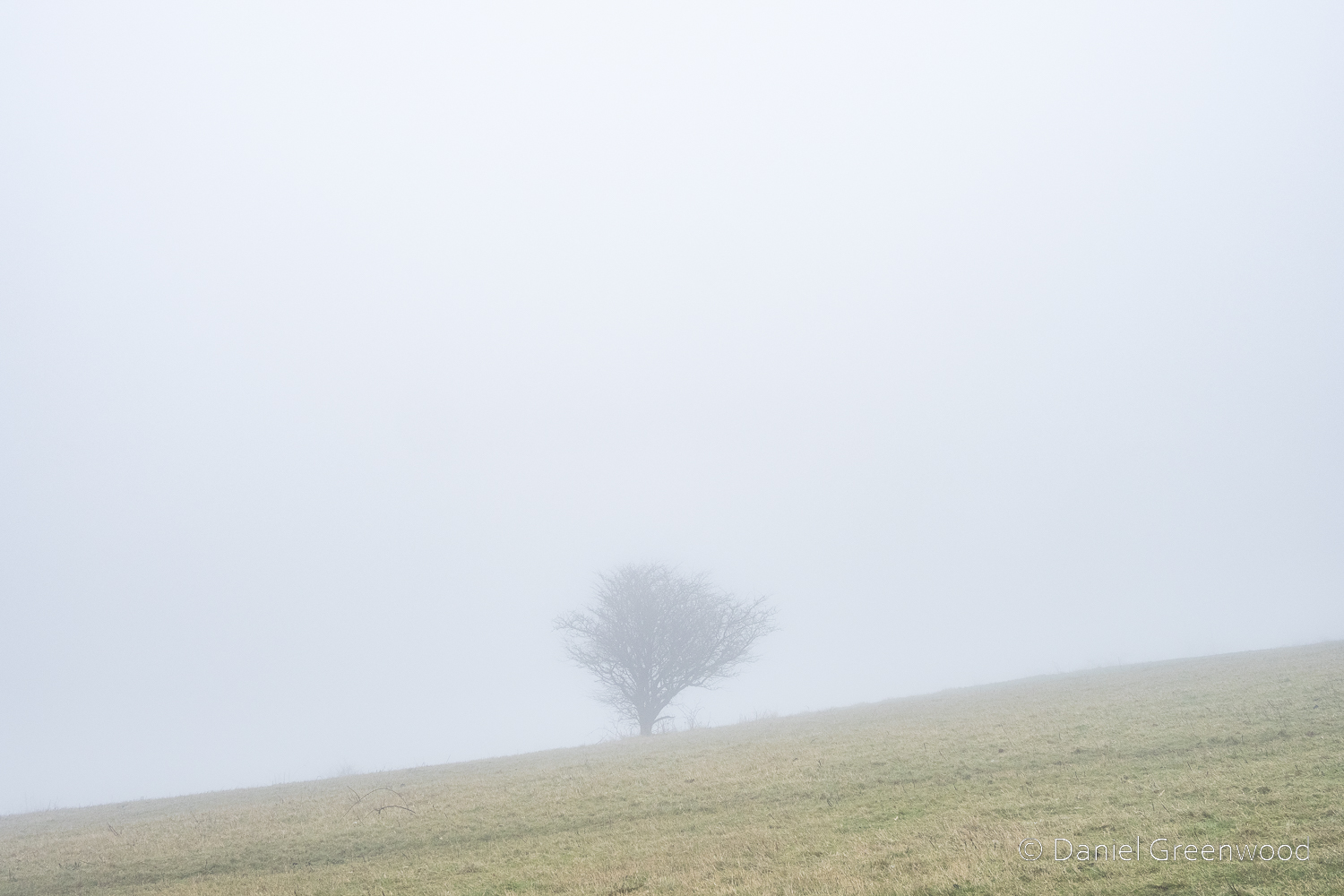
We carried on into even more thick mist – when does it become fog? – passing the trig point, which isn’t pictured here.
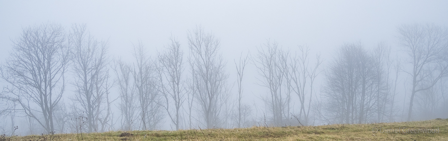
Ash dieback was working its way through the escarpment woods, though it’s not easy to tell dead winter trees from living at a distance.
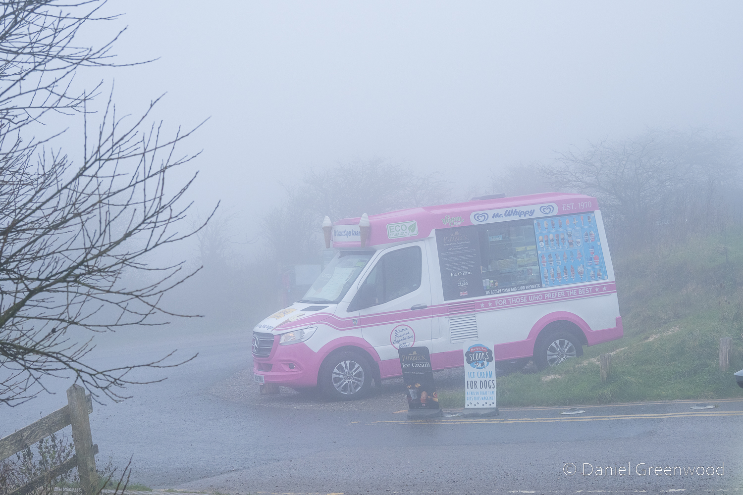
Ditchling Beacon car park. We passed a group of London or Brighton walkers (always more colourfully dressed) and the bizarre sight of an ice cream van waiting for custom in the car park. According to the Ditchling historian Henry Cheal, there was a signalling station up here before electricity arrived. Further back, fires would have been burned to warn of the Spanish Armada in 1588. Not that it would have been much good on a day like this!
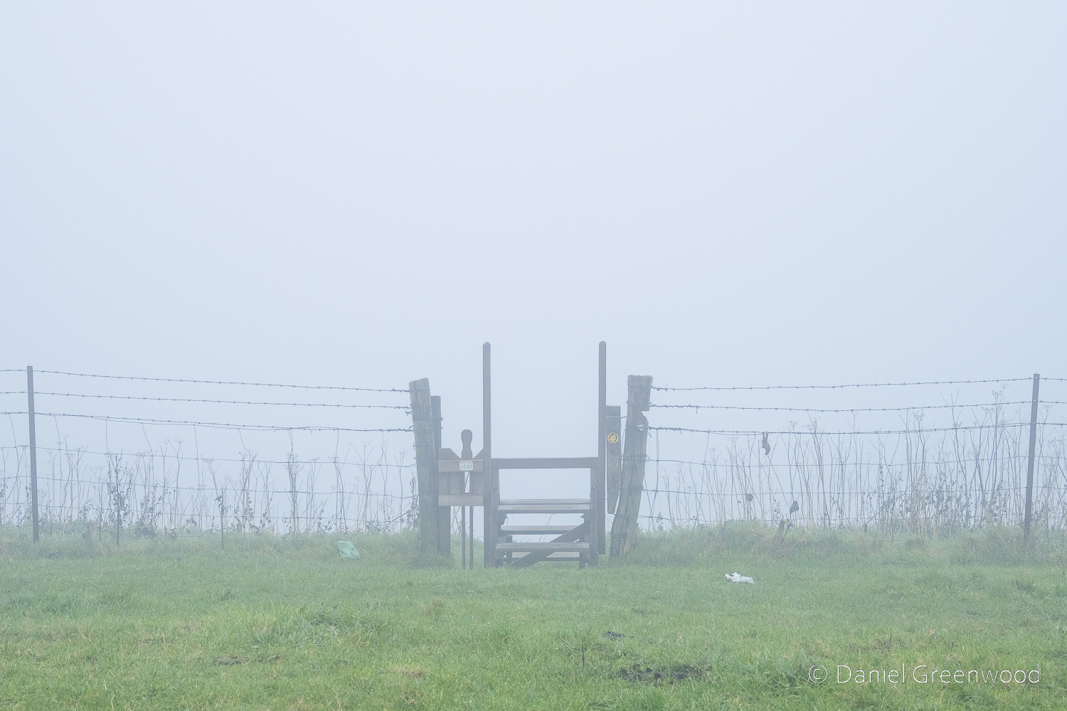
It was soon time to return down to Ditchling. We took this stile off the South Downs Way. Shame about the litter.
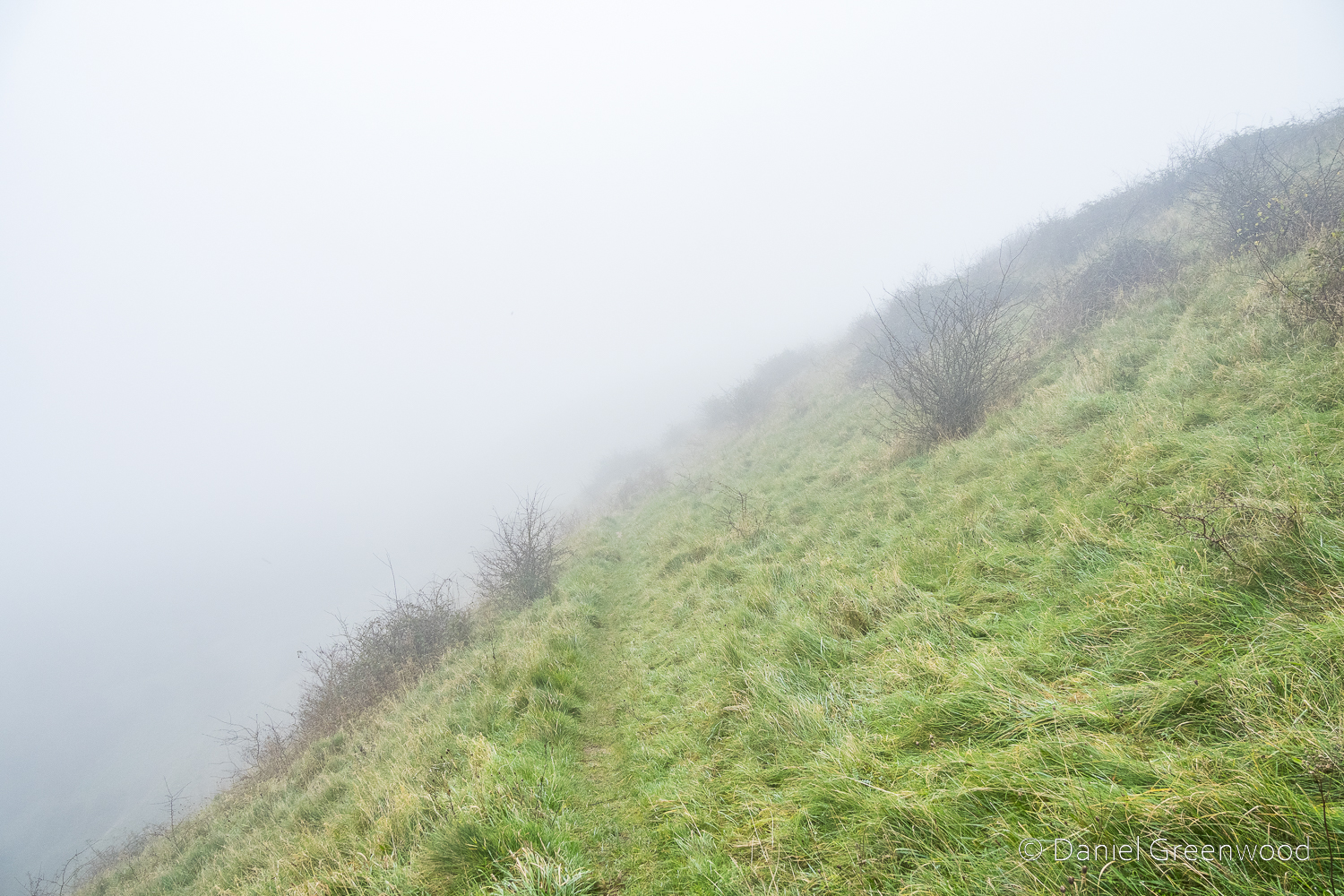
The path was very steep here, almost like a track in the Lake or Peak districts. This was Westmeston Bostall, running the edge of the lip of the site of an old chalk quarry.
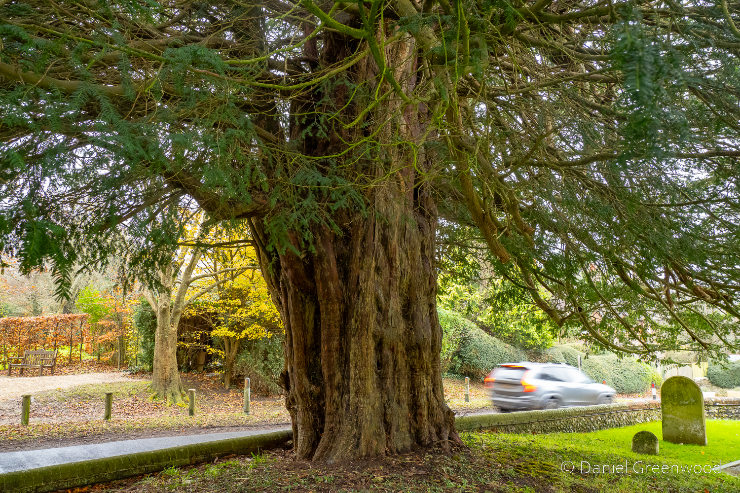
An old yew tree marks the arrival at St. Martin’s churchyard in Westmeston.
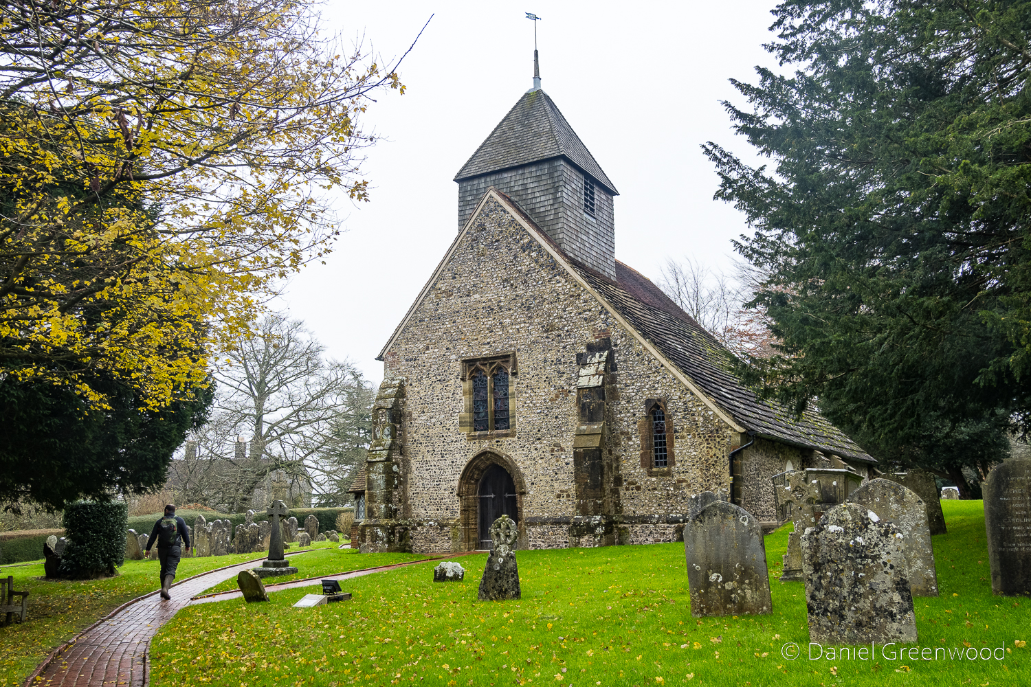
Walking around the churchyard was a bit tricky as the path was made up of very slippery bricks. The church dates from the early 12th Century. It was locked so we couldn’t go in and explore, unfortunately.
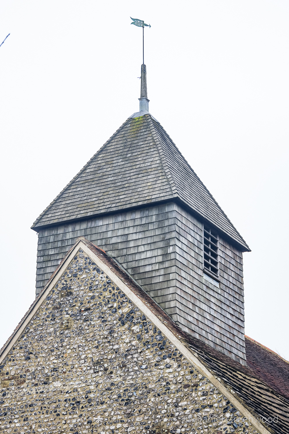
The bell turret dates from the 14th Century but was ‘reshingled’ in 2003.
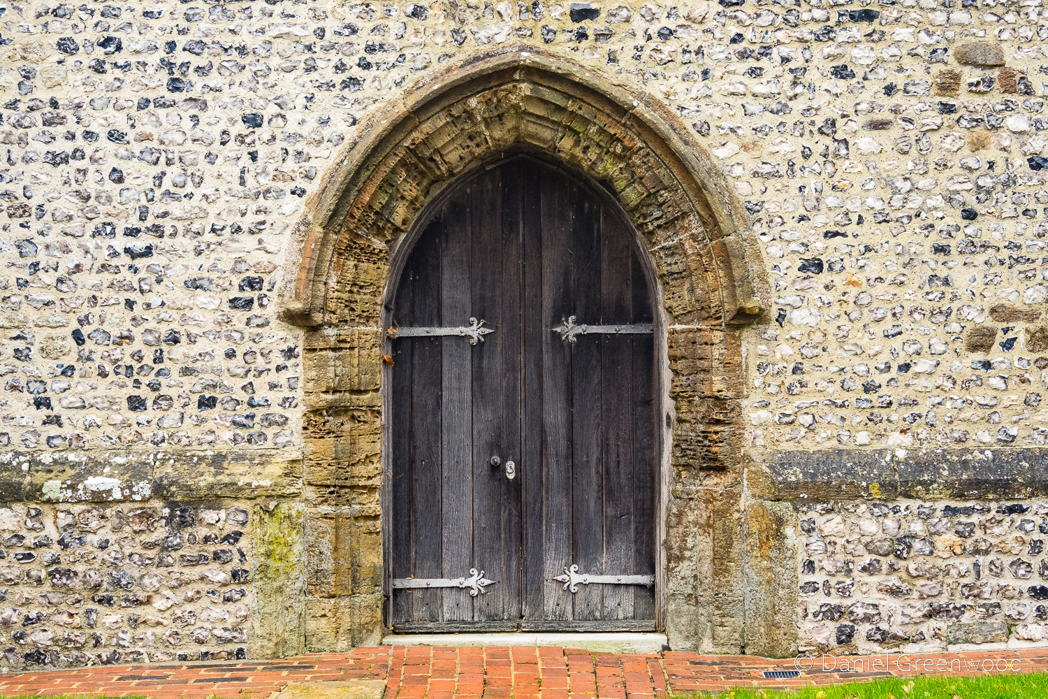
The western doorway. I would bet the stone frame is significantly old.
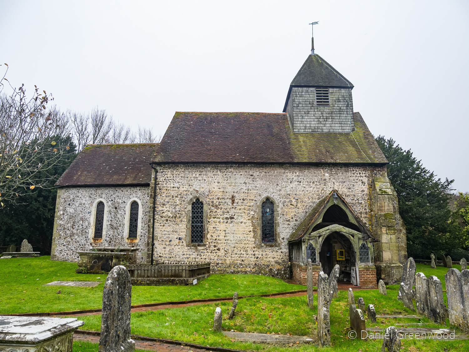
The north wall of the church, much of which dates from the 12th Century.
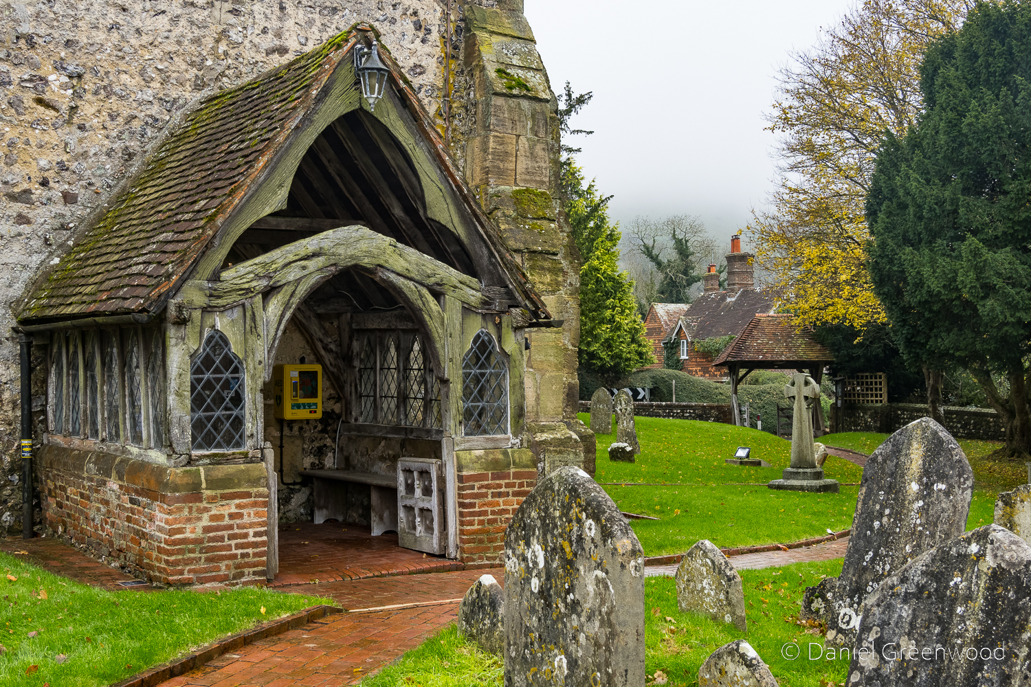
The timbers in the porch are as old as they look, with the gnarliest ones apparently dating to the 14th Century! That means the trees the wood was cut from could have been growing in pre-1066 Saxon England!
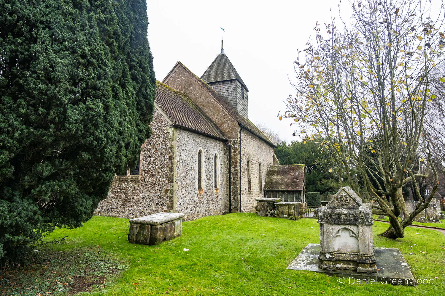
Looking west towards the church.
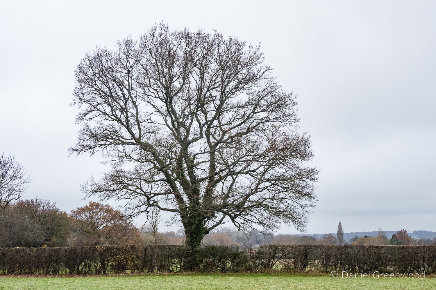
Heading north back towards Ditchling through Westmeston Place. We encountered more wet fields with yet more oaks standing in hedgerows.
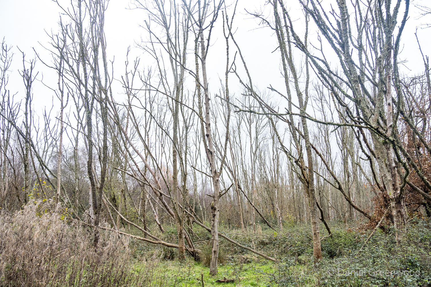
Finding our way through groves of diseased ash woodland, we experienced the wettest, sloshiest conditions of the walk. The woodland floor was flooded, with mini boardwalks in place to save us from a swim.
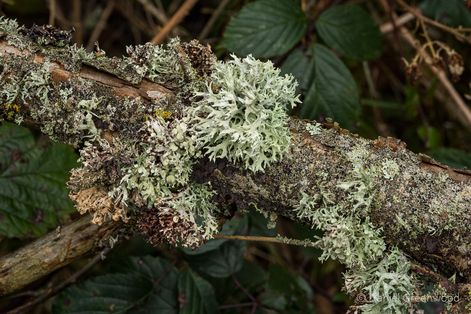
The fallen ash wood contained communities of lichens. There’s at least four species I can spot here, with dotted ribbon lichen the most prominent. Ash is a very friendly home for lichens, another reason why its decline is so worrying. But it is showing some resolve (read my post about ash trees here).
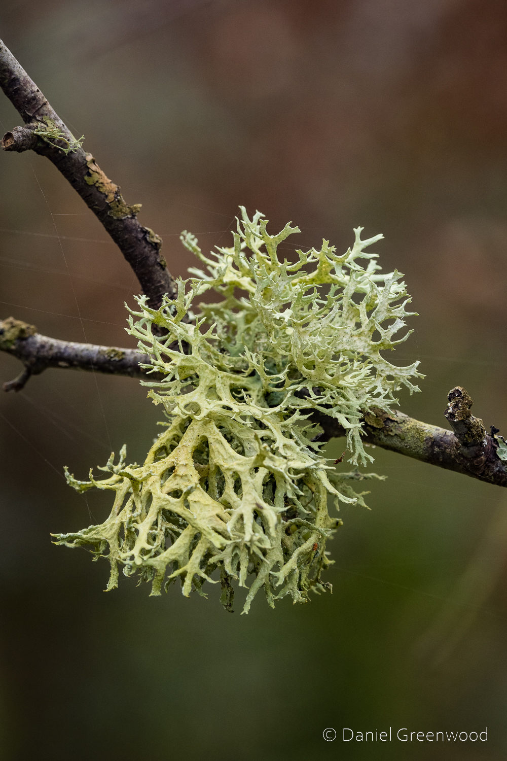
This is oakmoss, a common lichen in Sussex.
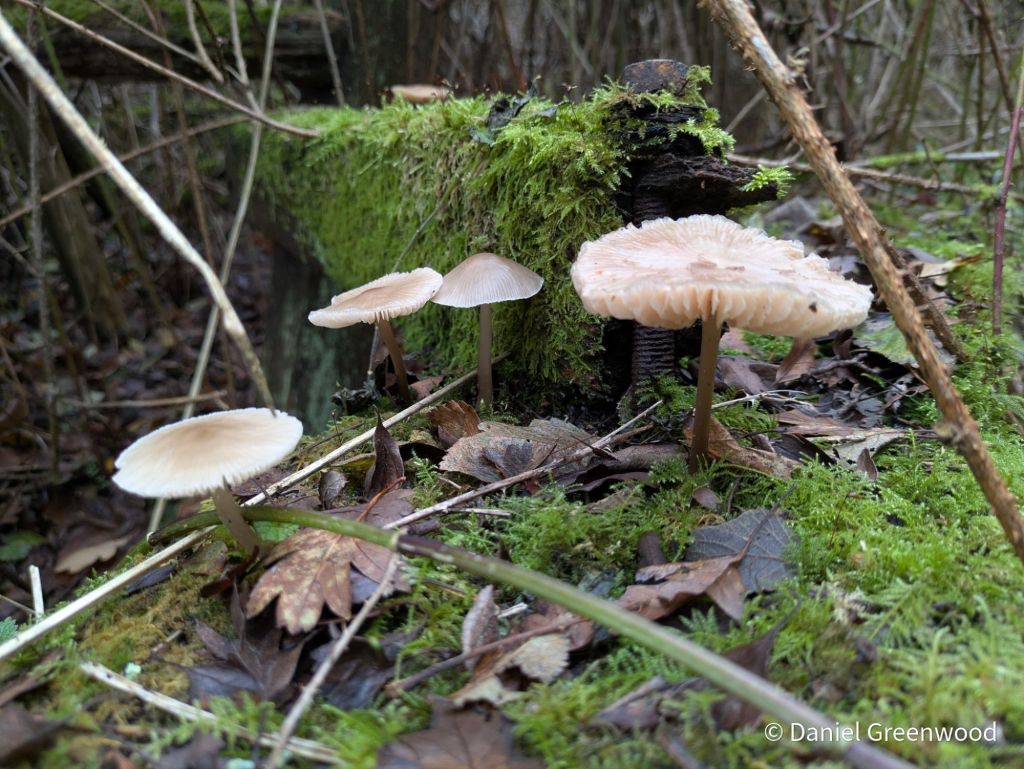
It being November, there were a few shroomies to see in the woodland. These look like bonnets.
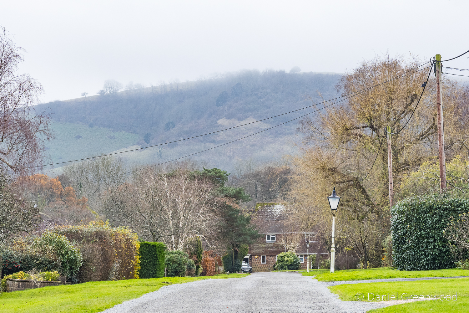
The final image before returning to Ditchling and completing the walk. The mist has lifted and finally the top of the Downs has come into view.
Thanks for reading.


Really must get back there.