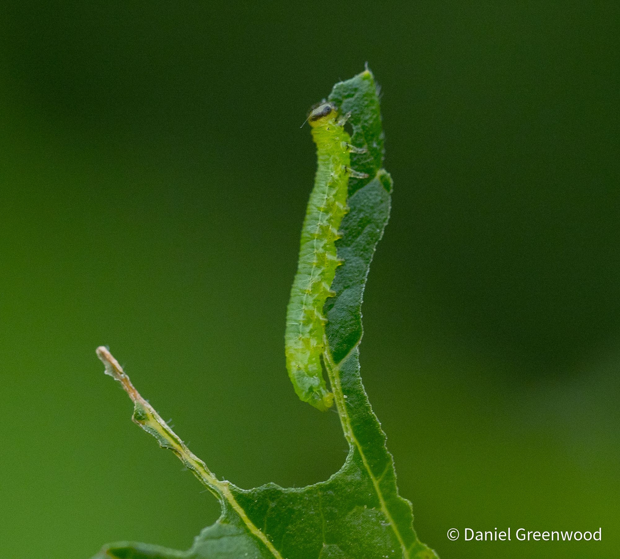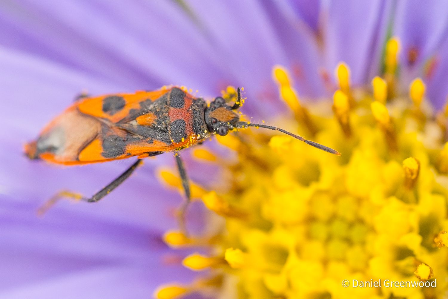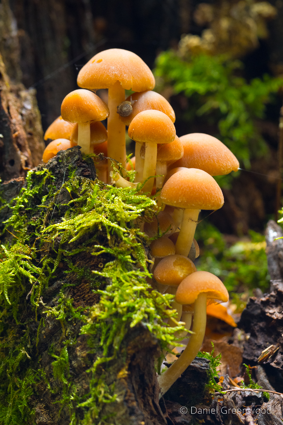
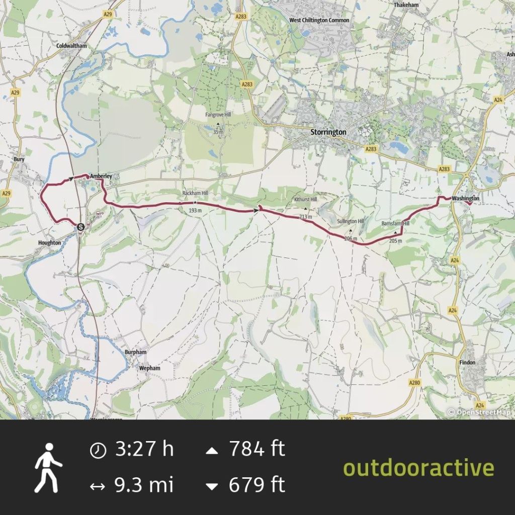
Amberley to Washington, West Sussex, 4th June 2024
The photos in this post are a mix of Olympus EM-1 MIII mirrorless camera images using a 12-100mm (24-200mm full-frame) lens, with a few phone pics for detail. The photos have been cropped, marked and enhanced in places using Adobe Lightroom. I do not purposefully use Generative AI in any of my photos, which is basically sacrilege.
This is a prime early summer walk from June 2024, taking in my most frequented stretch of the South Downs. I had just returned from Switzerland when I did this walk. Arriving into Amberley on the train I realised how much my sense of altitude had changed when I saw the Downs appearing through the window. They looked so low! They have gradually grown back again in my estimation as my experience of the Swiss Alps has melted away into the past.
Every walk has its moment, for this one it was being attacked by a protective female pheasant at Kithurst Meadow. Thank goodness for my walking pole…
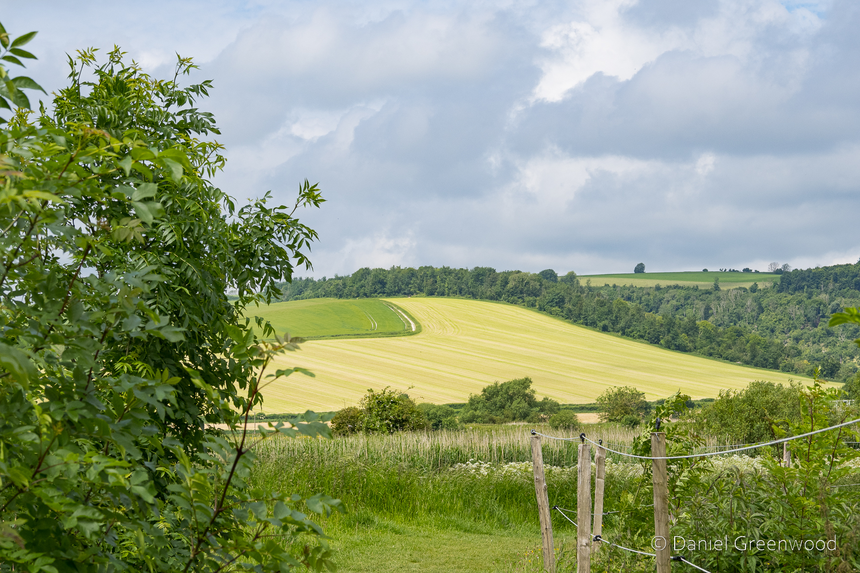
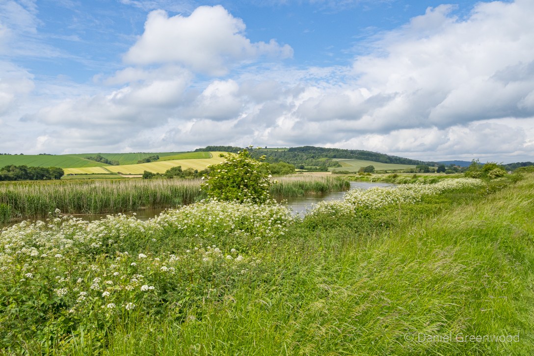
Everything was a shade of green and white as I left the station and began the walk along the eastern banks of the Arun. Ash leaves were abundant at the path edges.
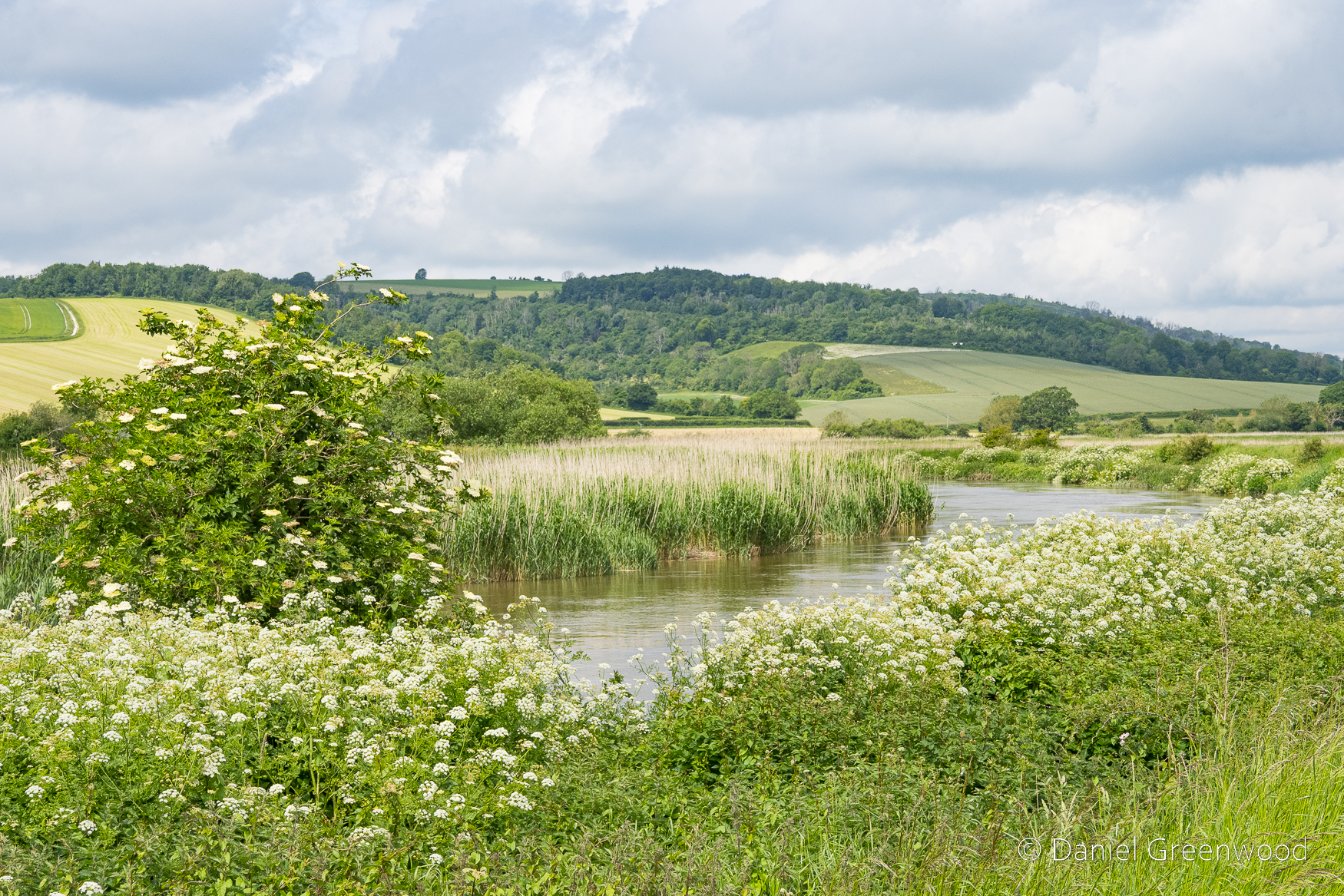
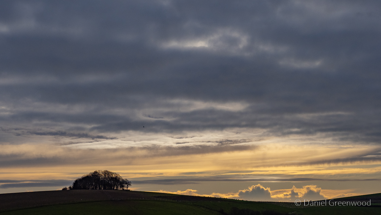
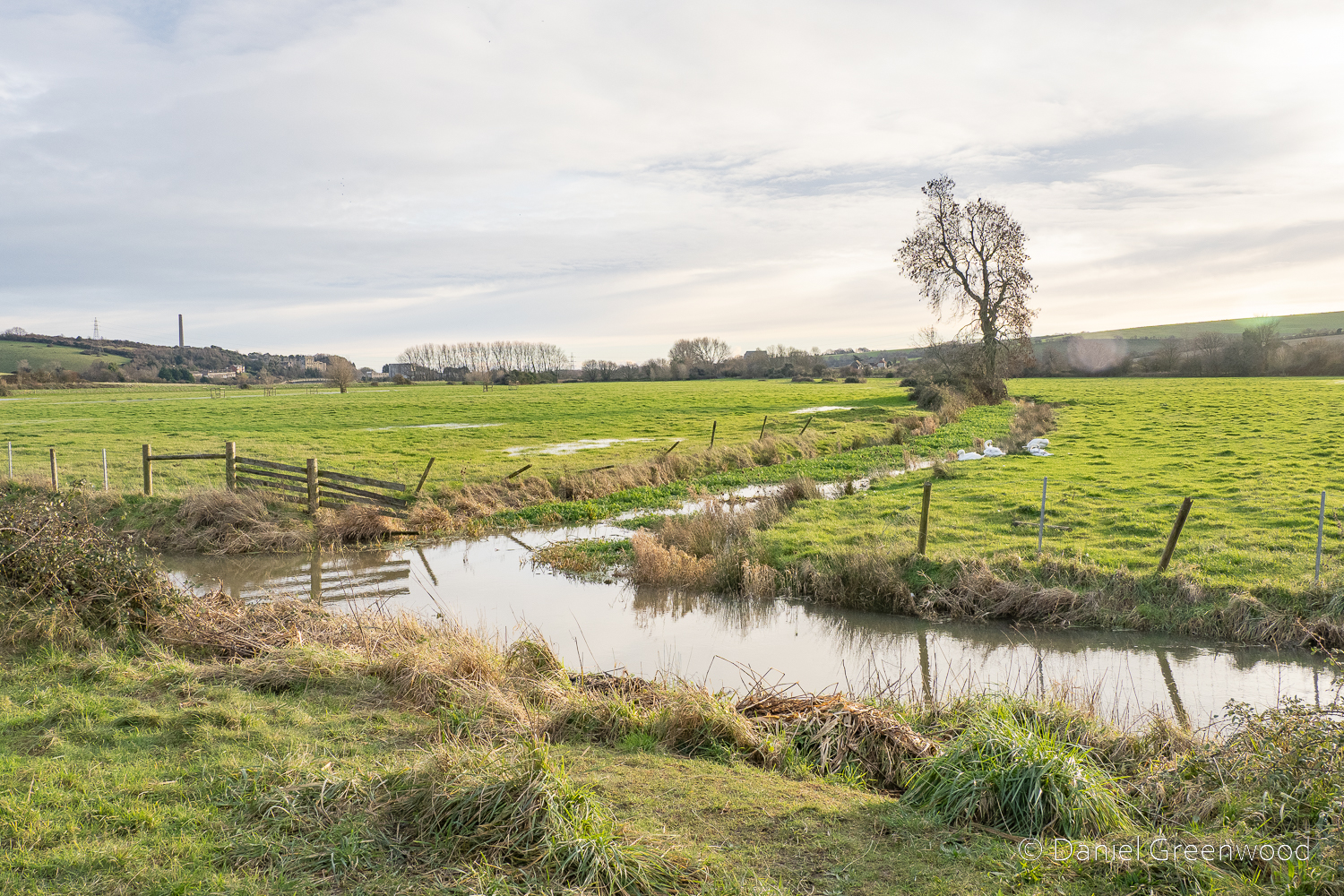
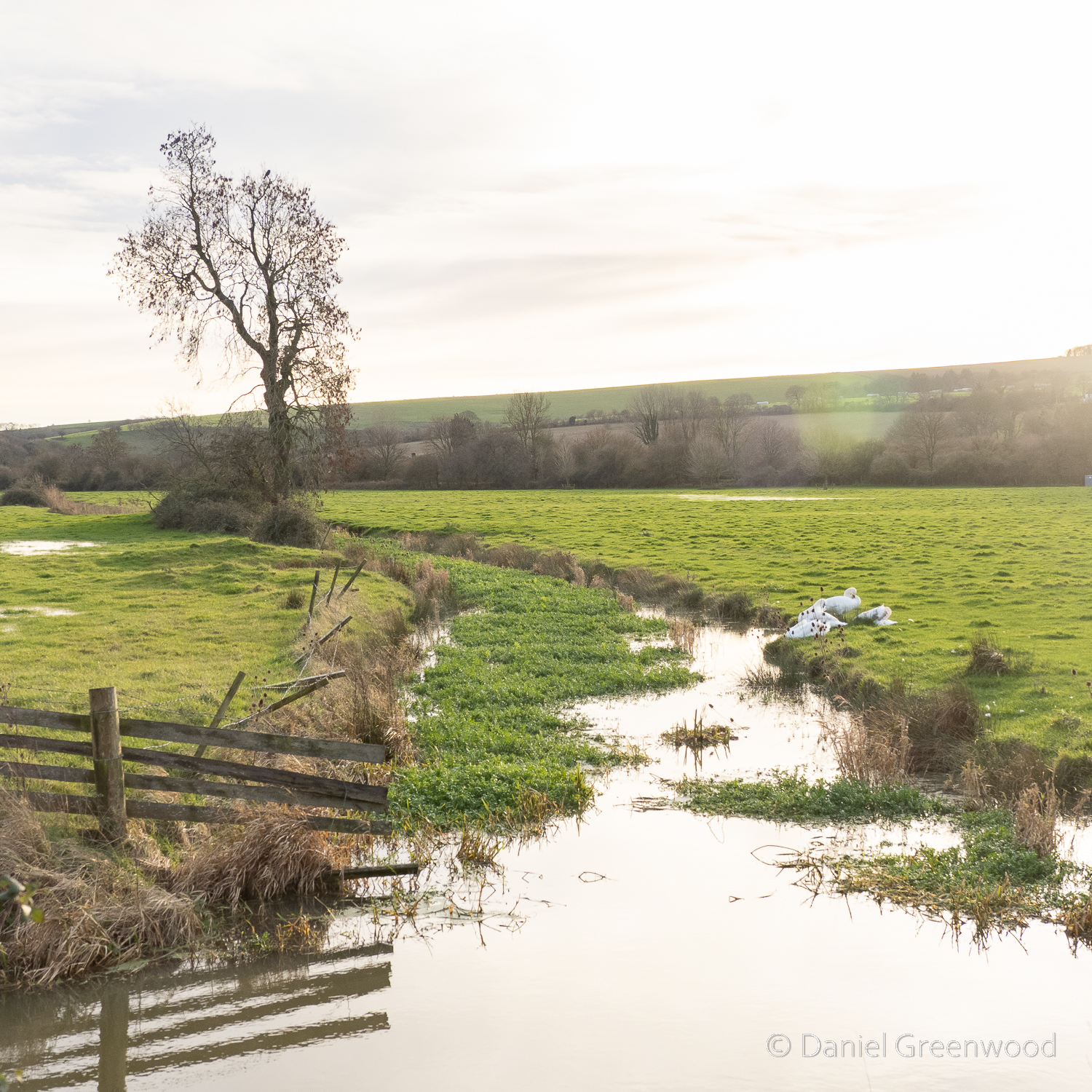
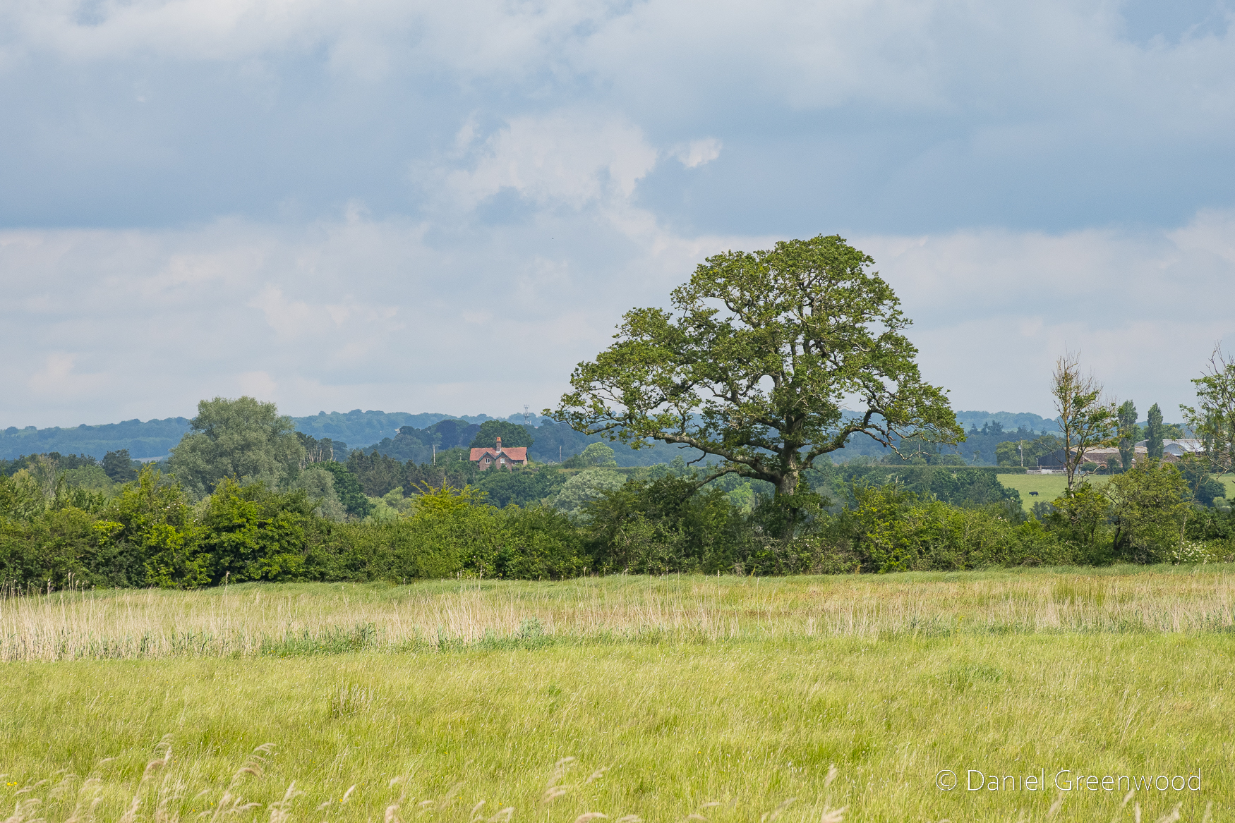
The white flowers of umbellifers ran along the banks of the river, with the ubiquitous presence of elder reaching higher. In the distance you can see the lone blog of the Bury Hill ash tree in an open field.
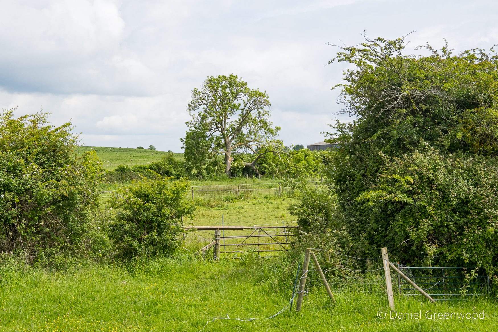
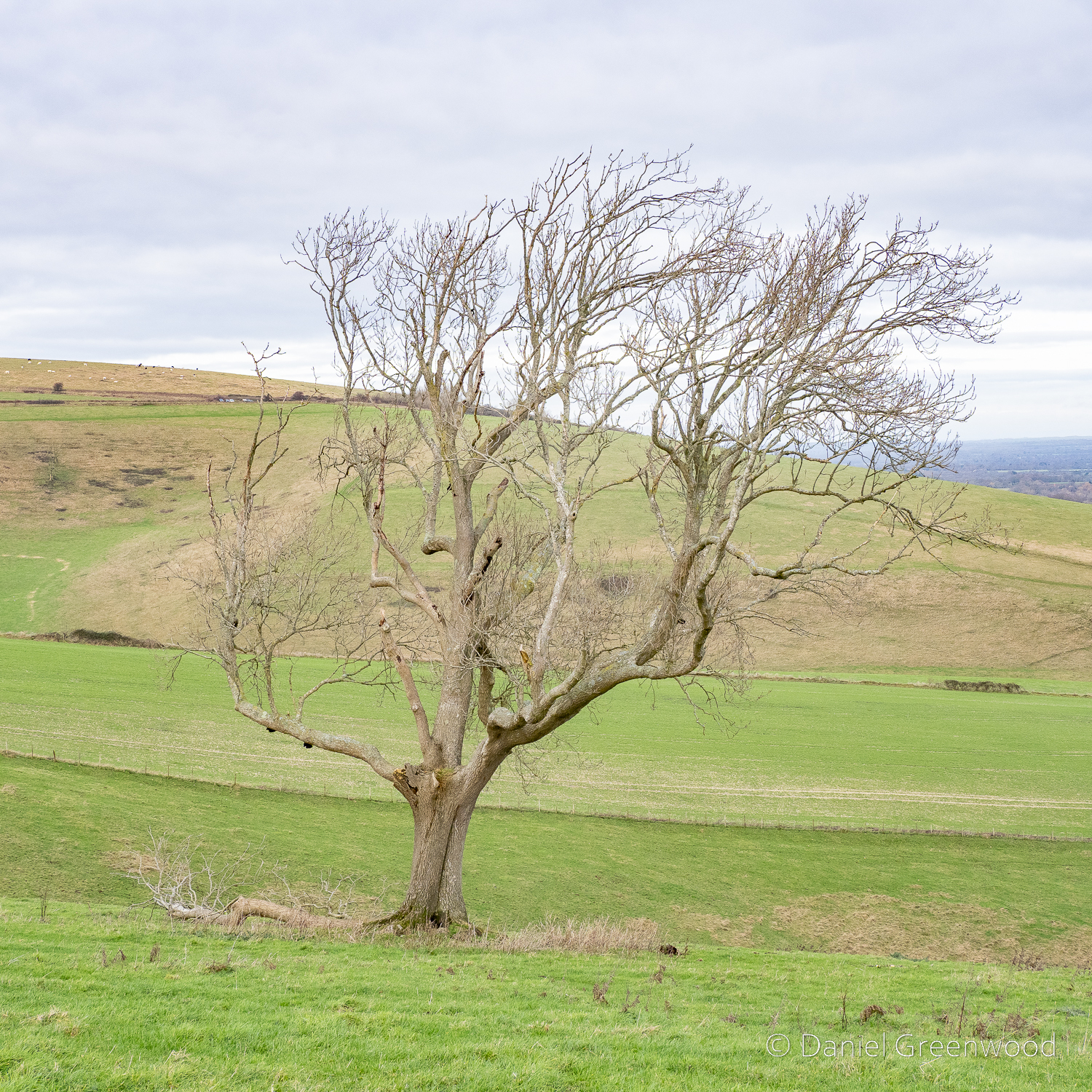
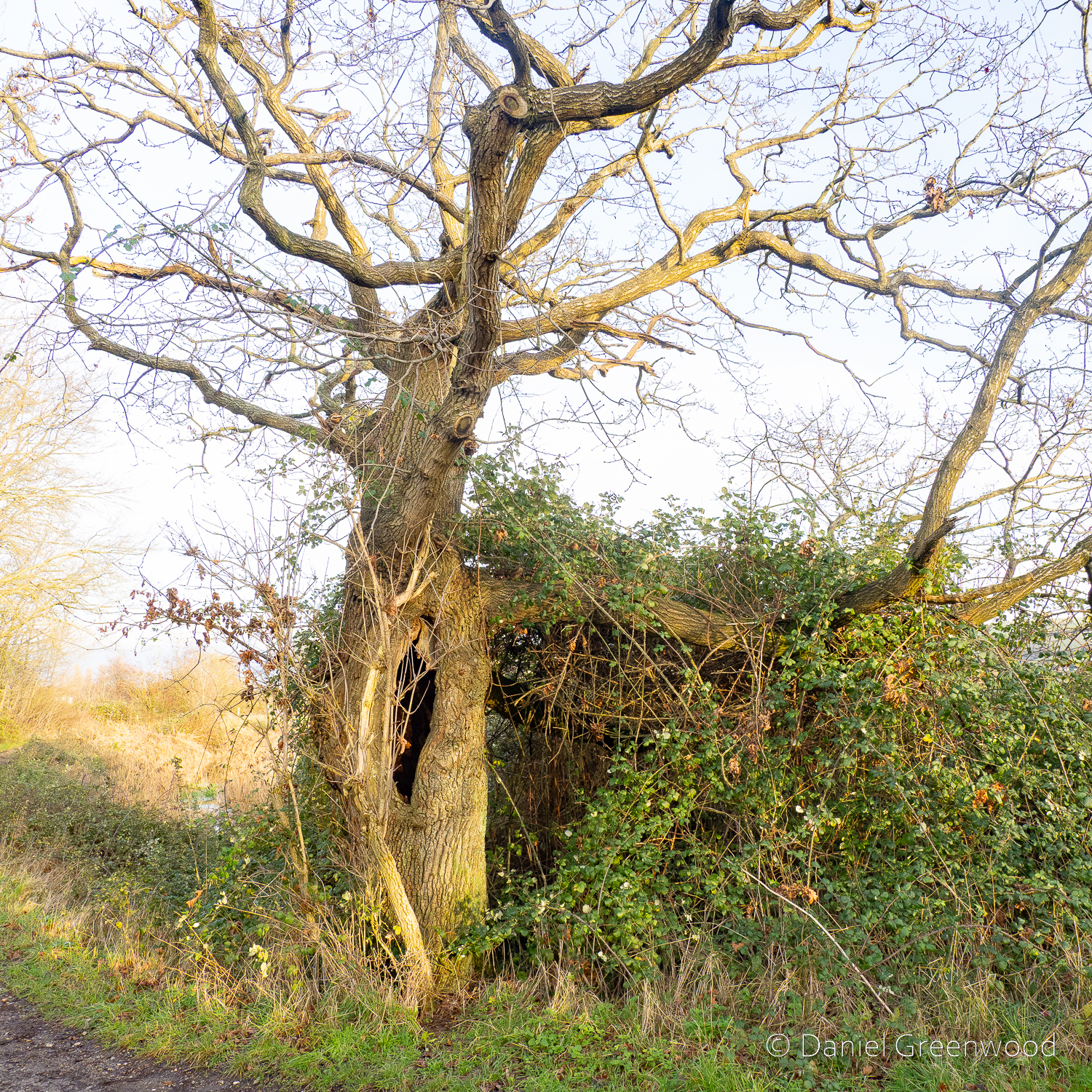
Speaking of ash trees, this is a lovely one set back from the footpath in a field margin.
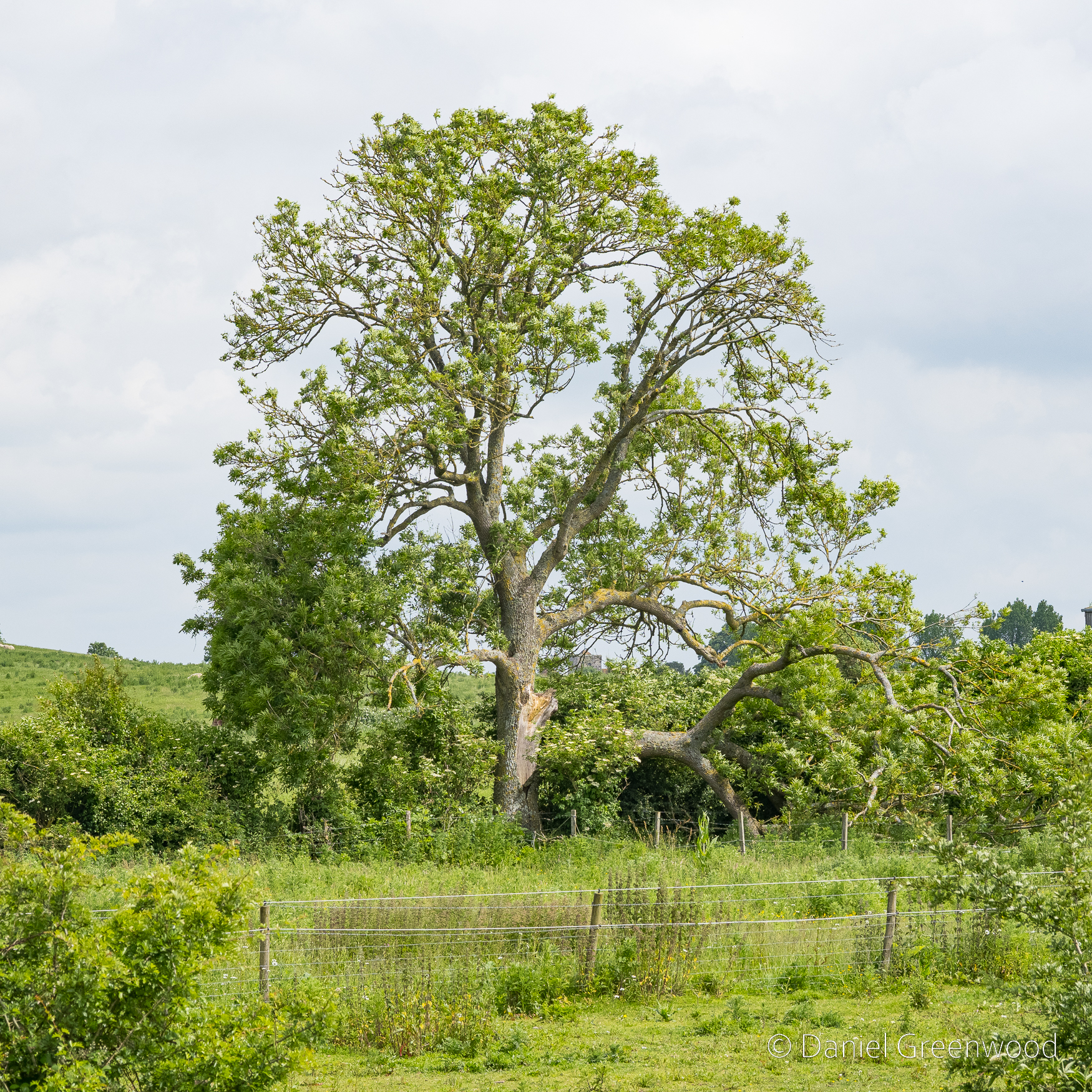
As you can see a large limb has fallen from the core of the trunk. Ash trees are prone to ‘summer limb-drop’, where a limb can fall from the tree without any clear warning signs. This ash looks to have some light dieback, meaning it may have been weakened by ash dieback disease.
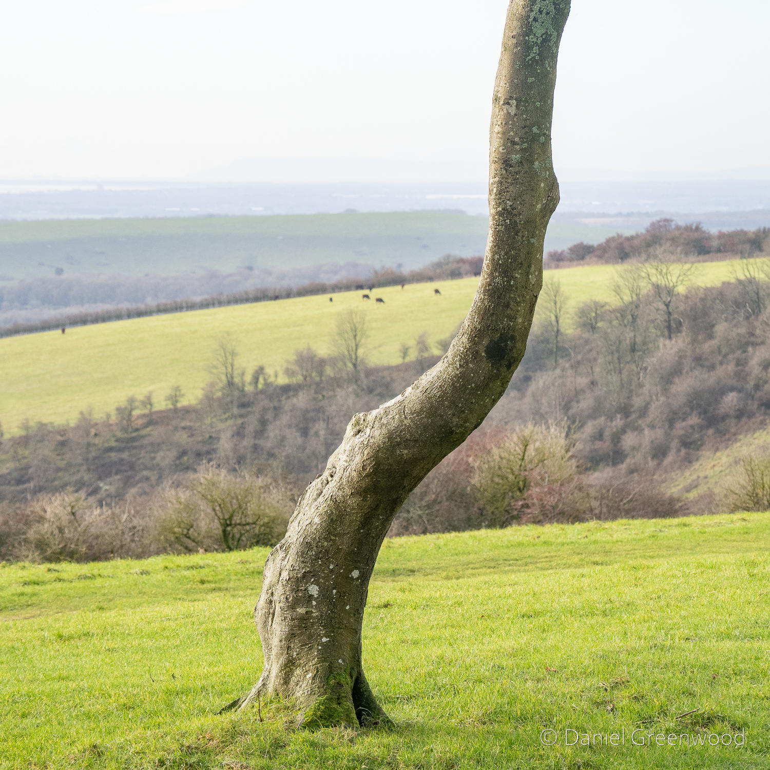
This tree looks to have the structure of a sycamore but it could be an oak.
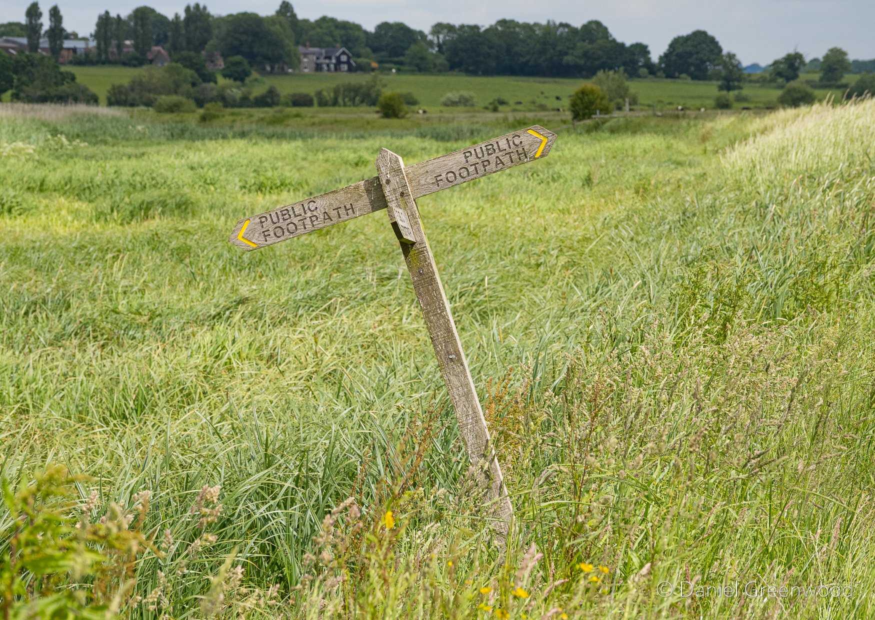
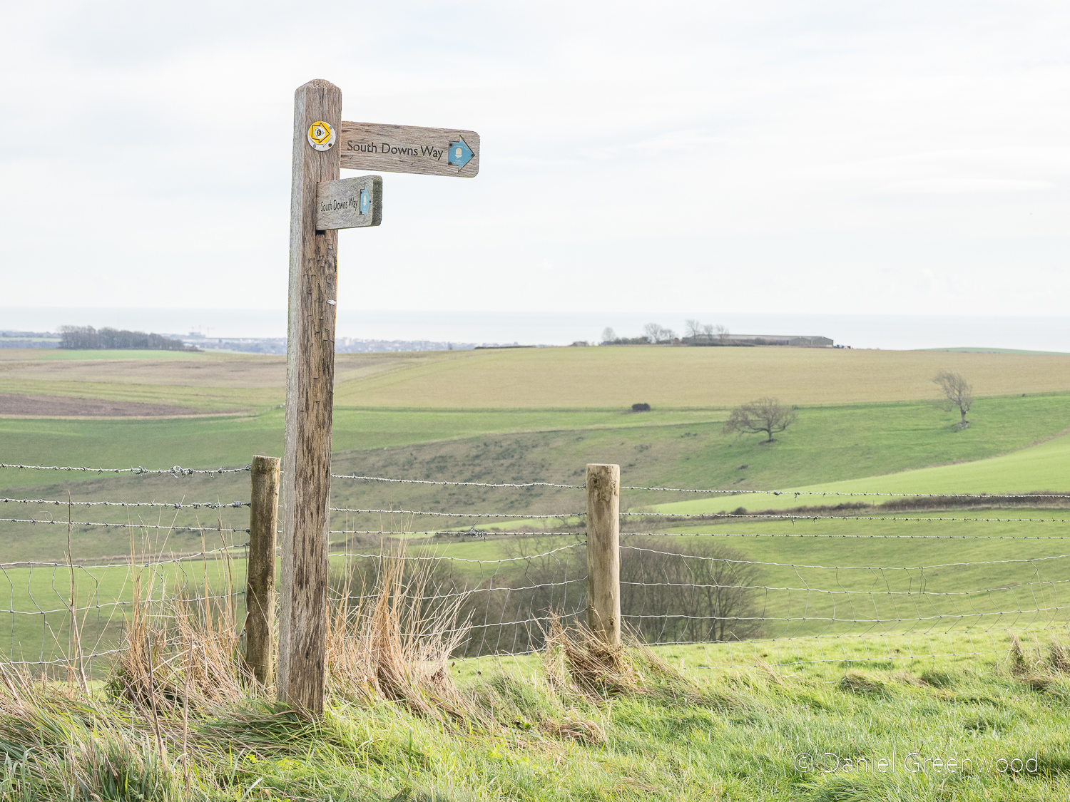
I always enjoy this finger post, the Arun valley’s very own leaning tower of Pisa.
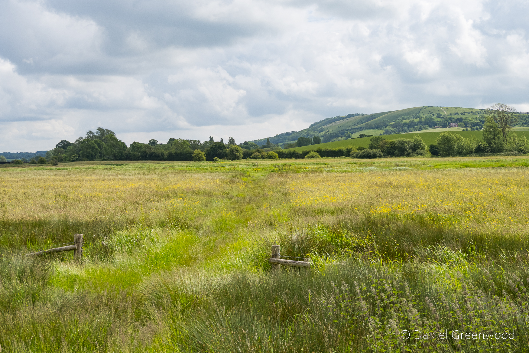
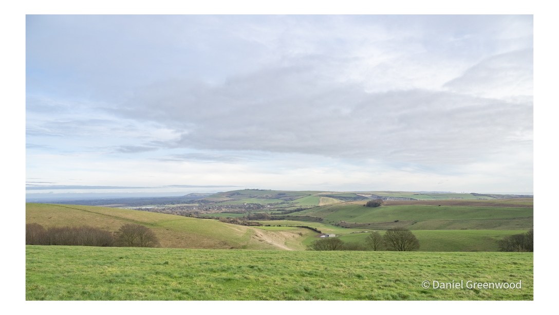
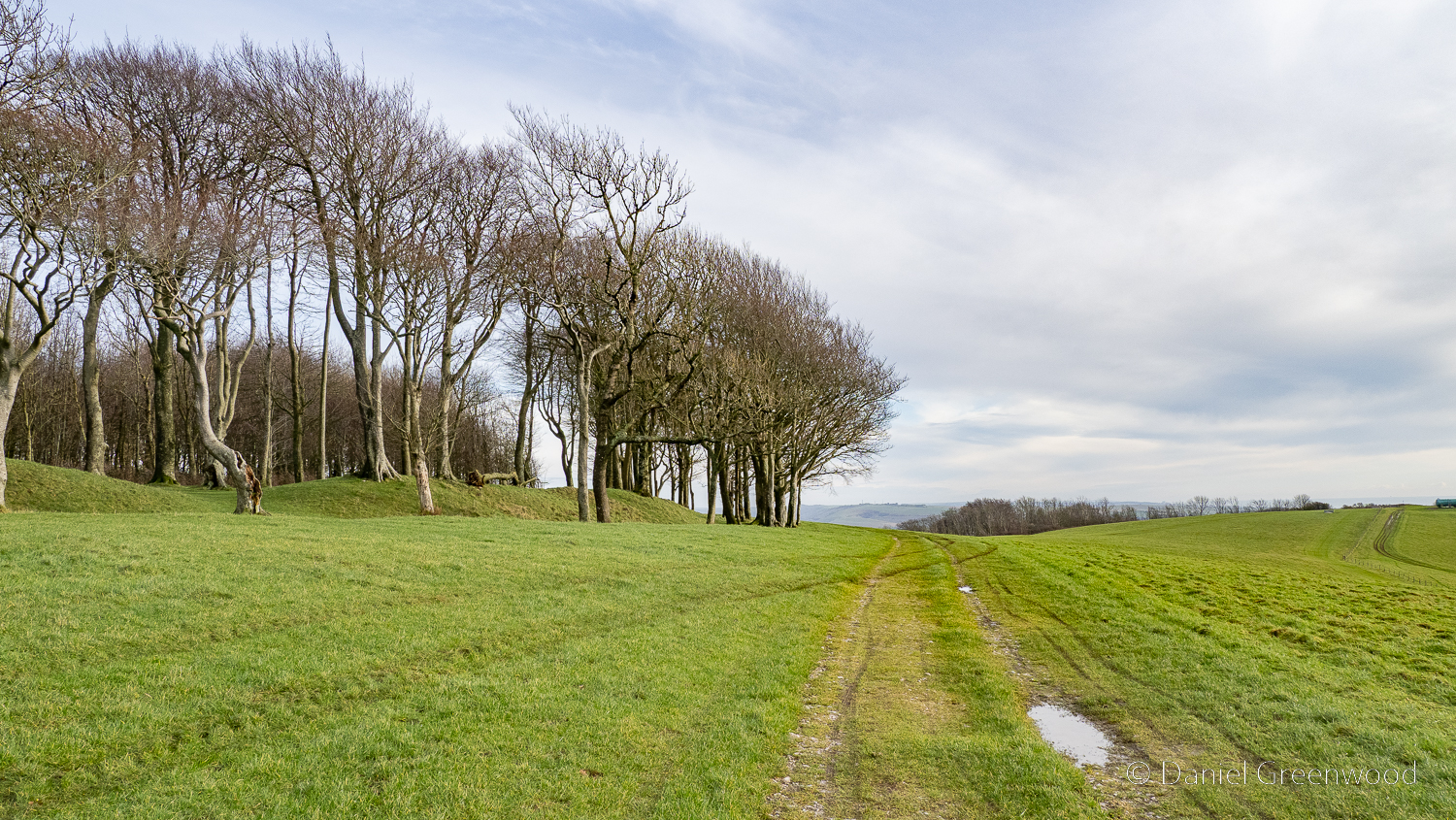
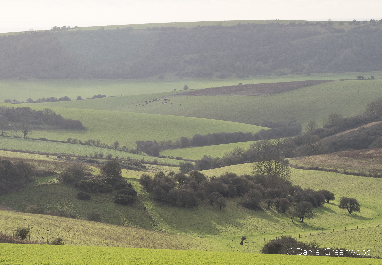
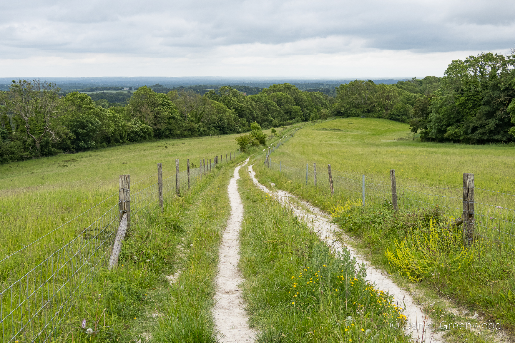
In the distance is Amberley Mount where the South Downs Way passes, through ancient burial mounds and chalk grasslands (as well as plenty of intensive agriculture). The path between the fence posts here is very wet in winter but is ok for walking boots between June and September if it hasn’t rained too much.
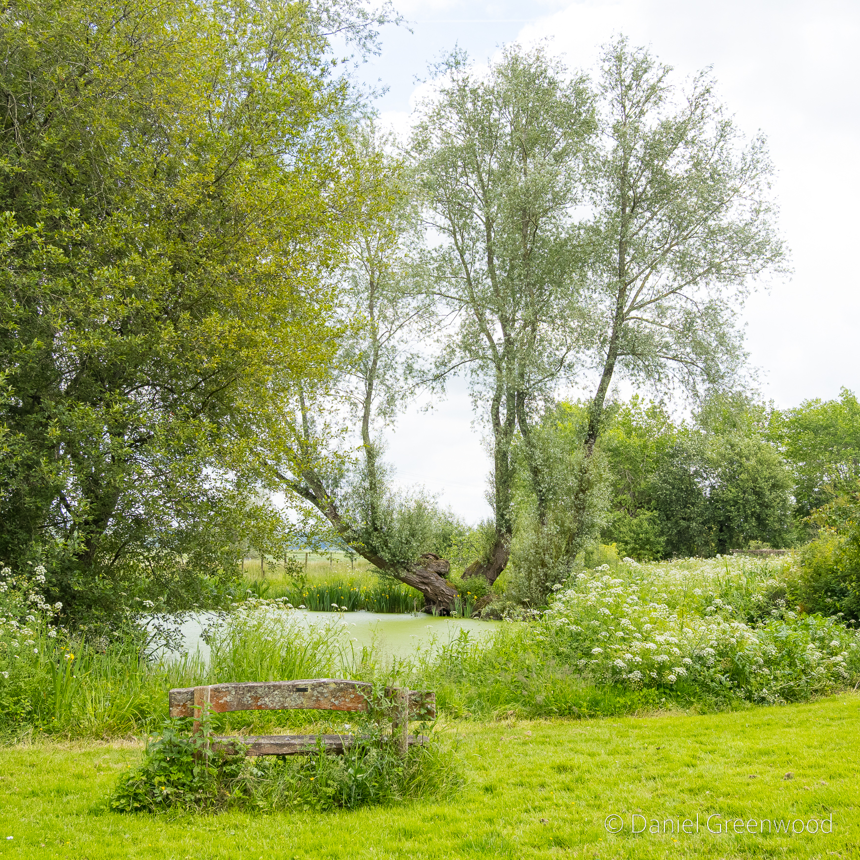
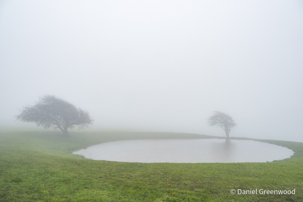
After passing alongside Amberley Castle this large pond appears before the village. This is it at its best, I would say.
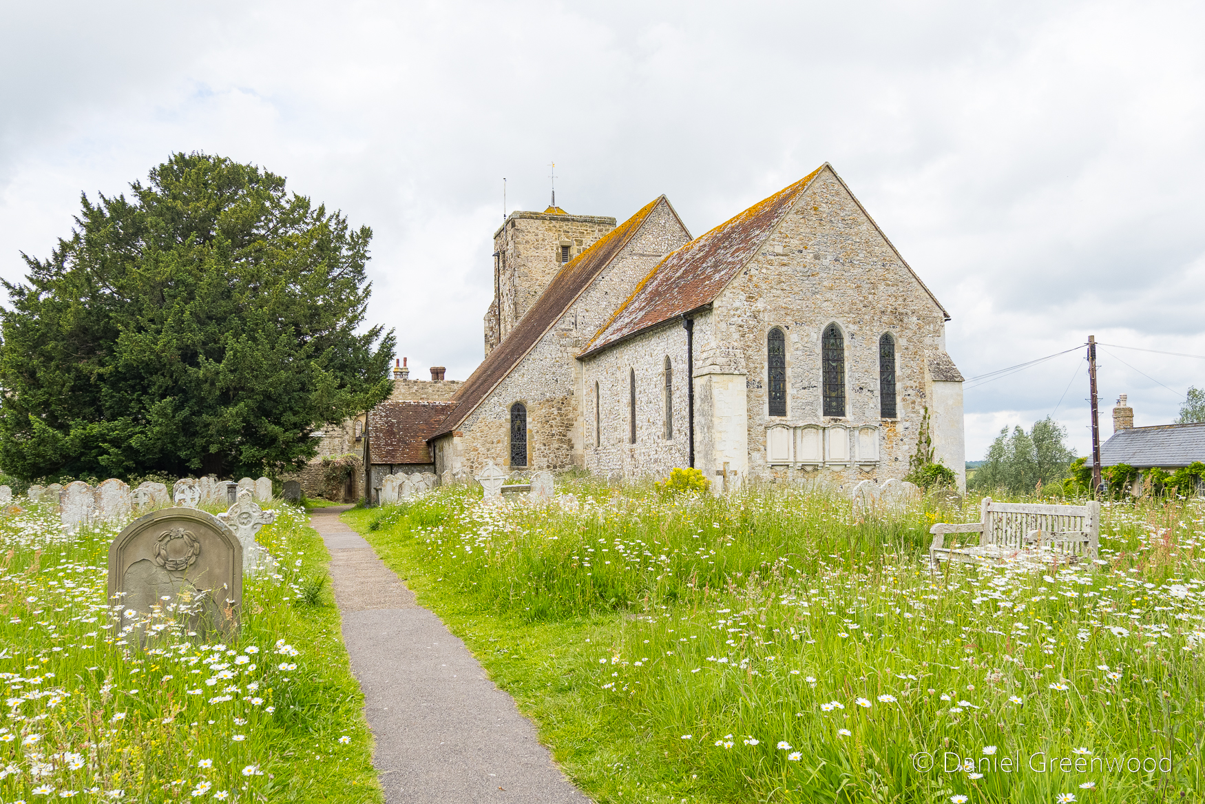
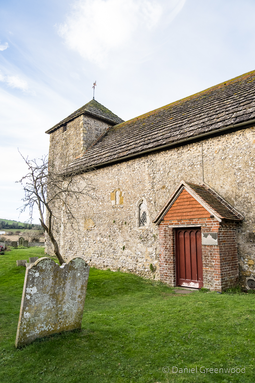
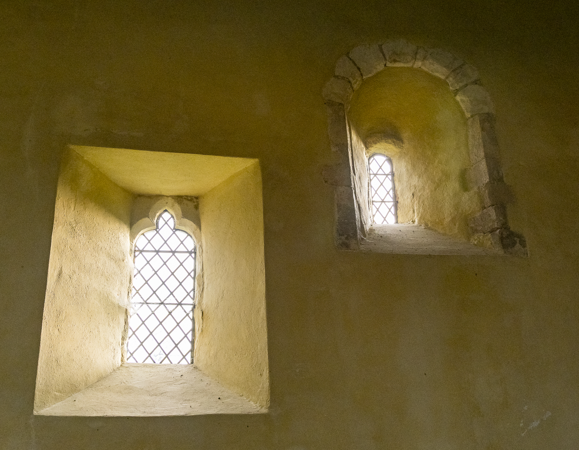
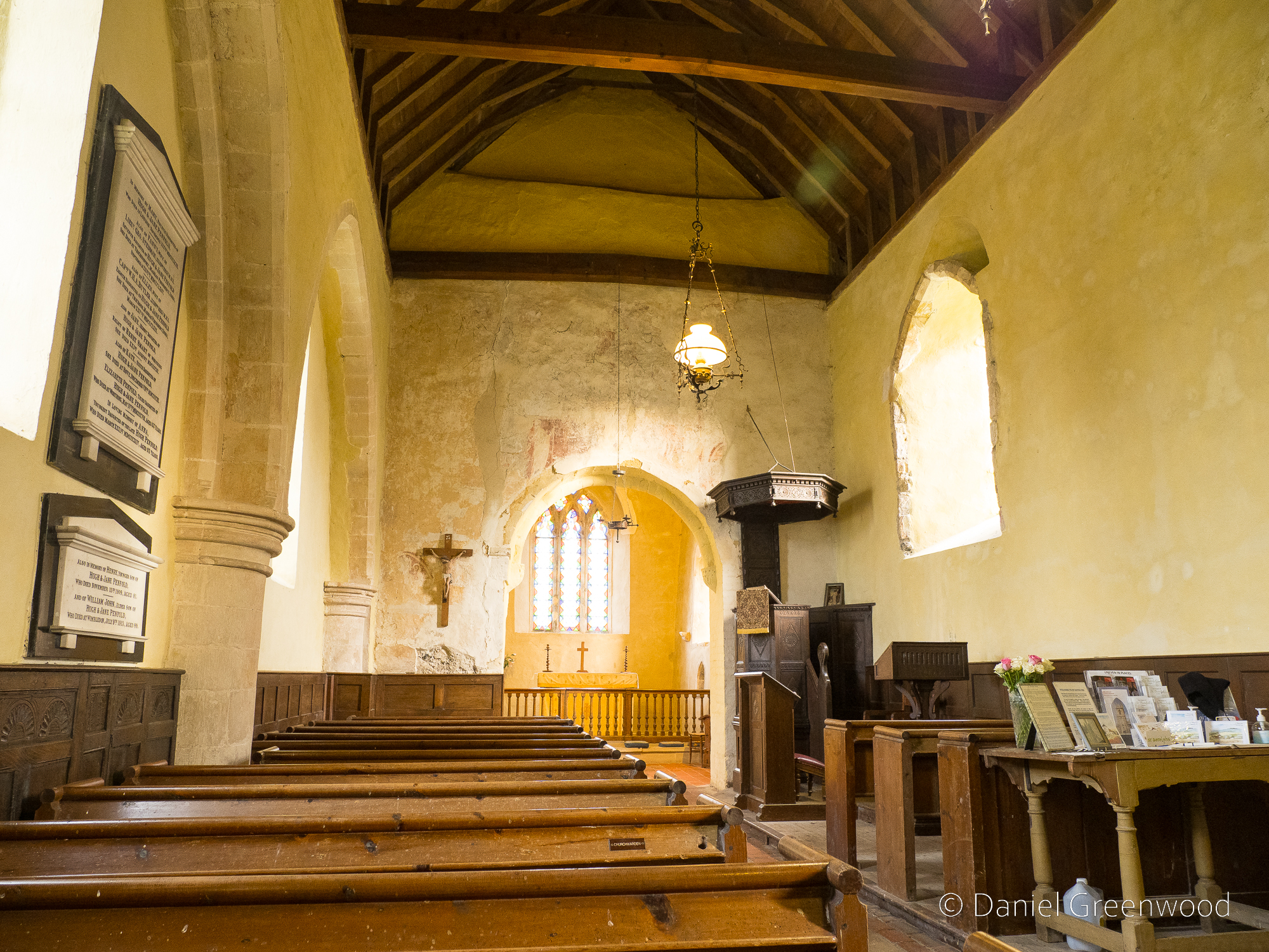
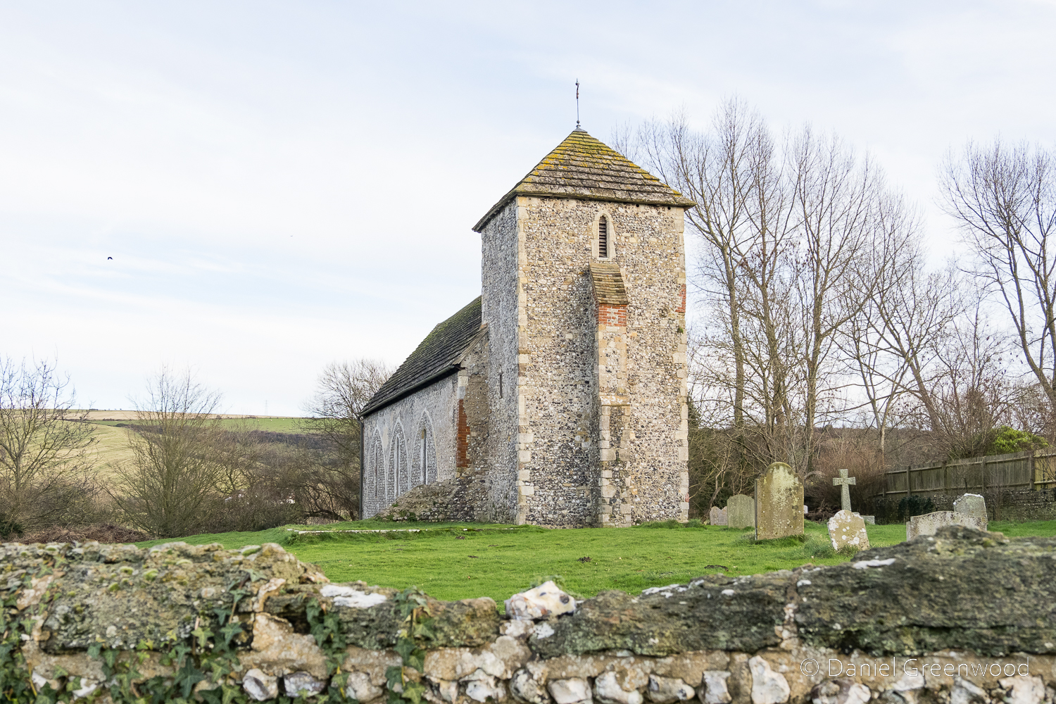
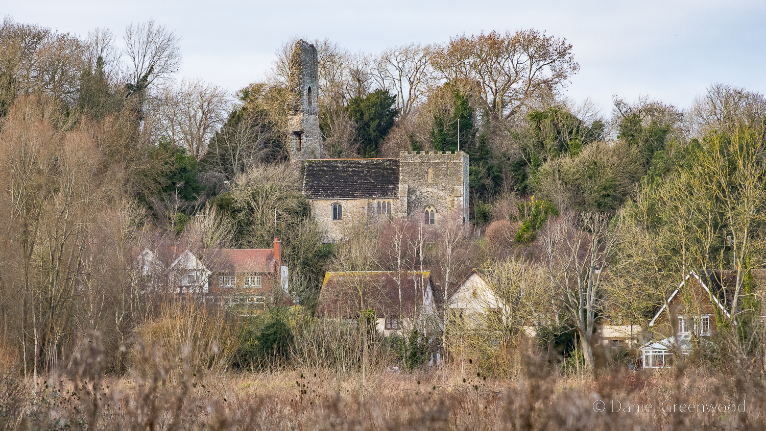
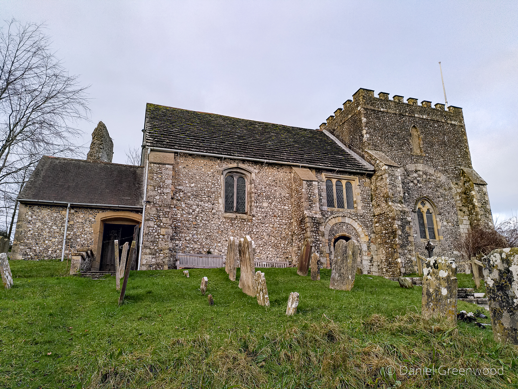
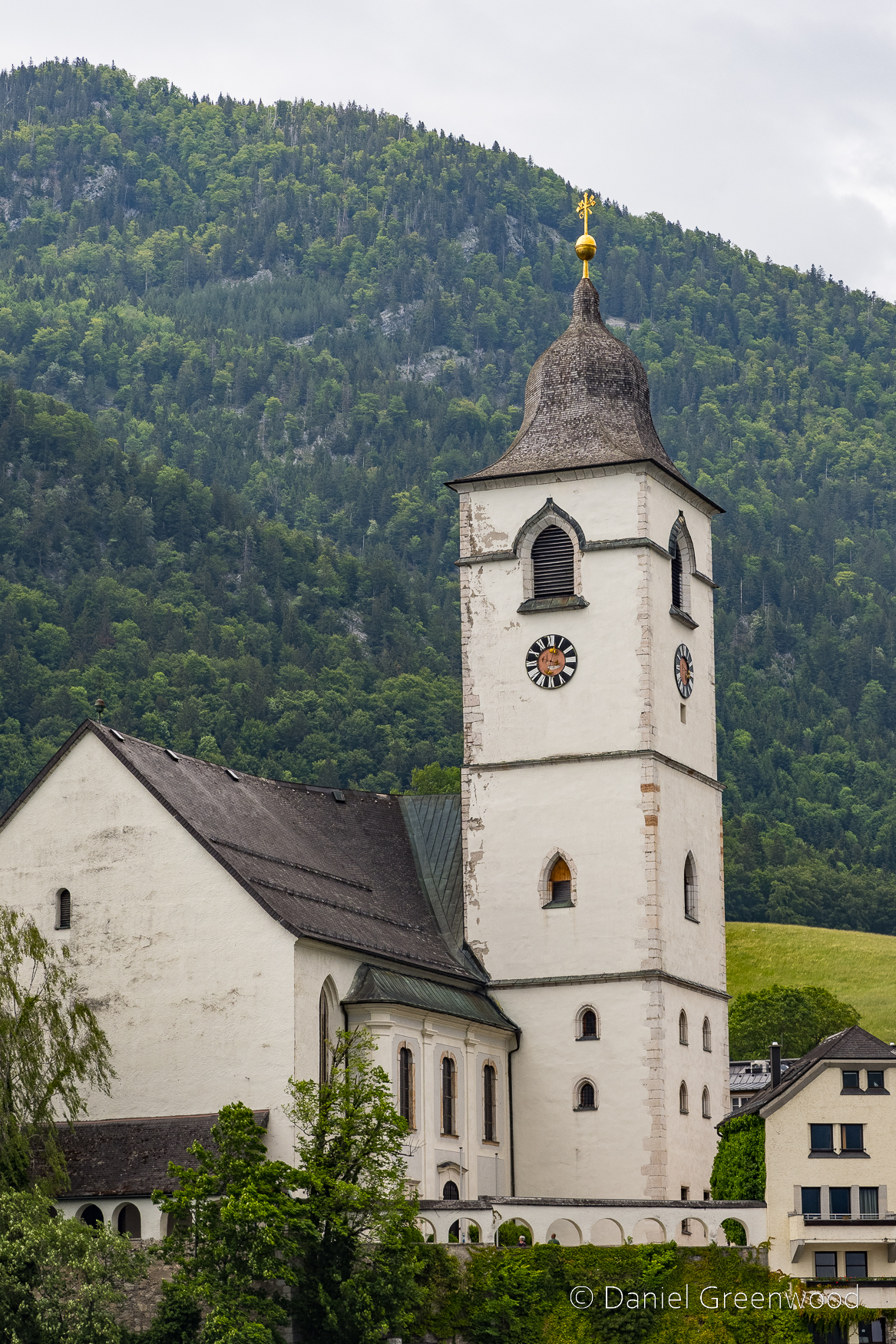
St. Michael’s Church, Amberley:
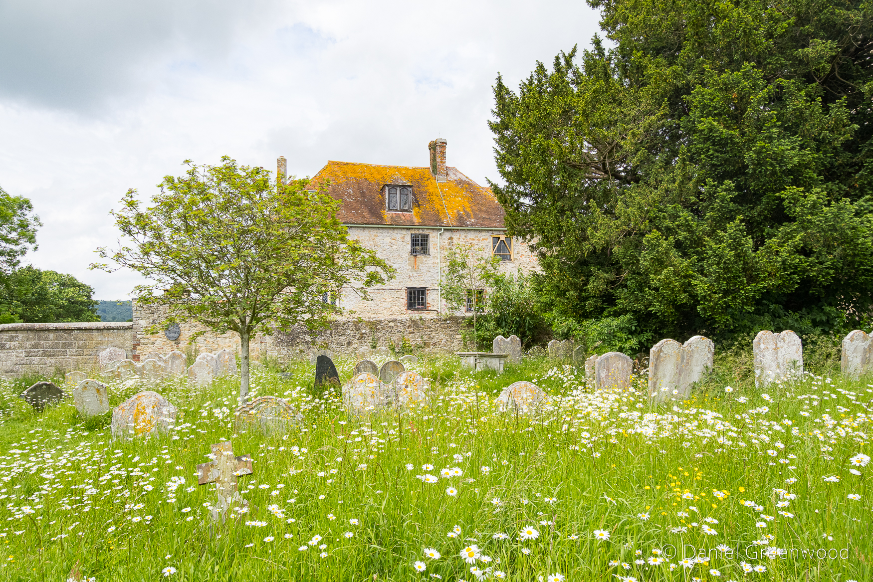
Amberley lies above the water meadows of the Arun and the adjacent castle (now a hotel) was an episcopal residence. It was built in place of a manor about 1380, though the church had enjoyed the favour of the bishops from a much earlier date. Neither has changed much since the Burrell Collection drawing of 1788.
Sussex Parishes Churches
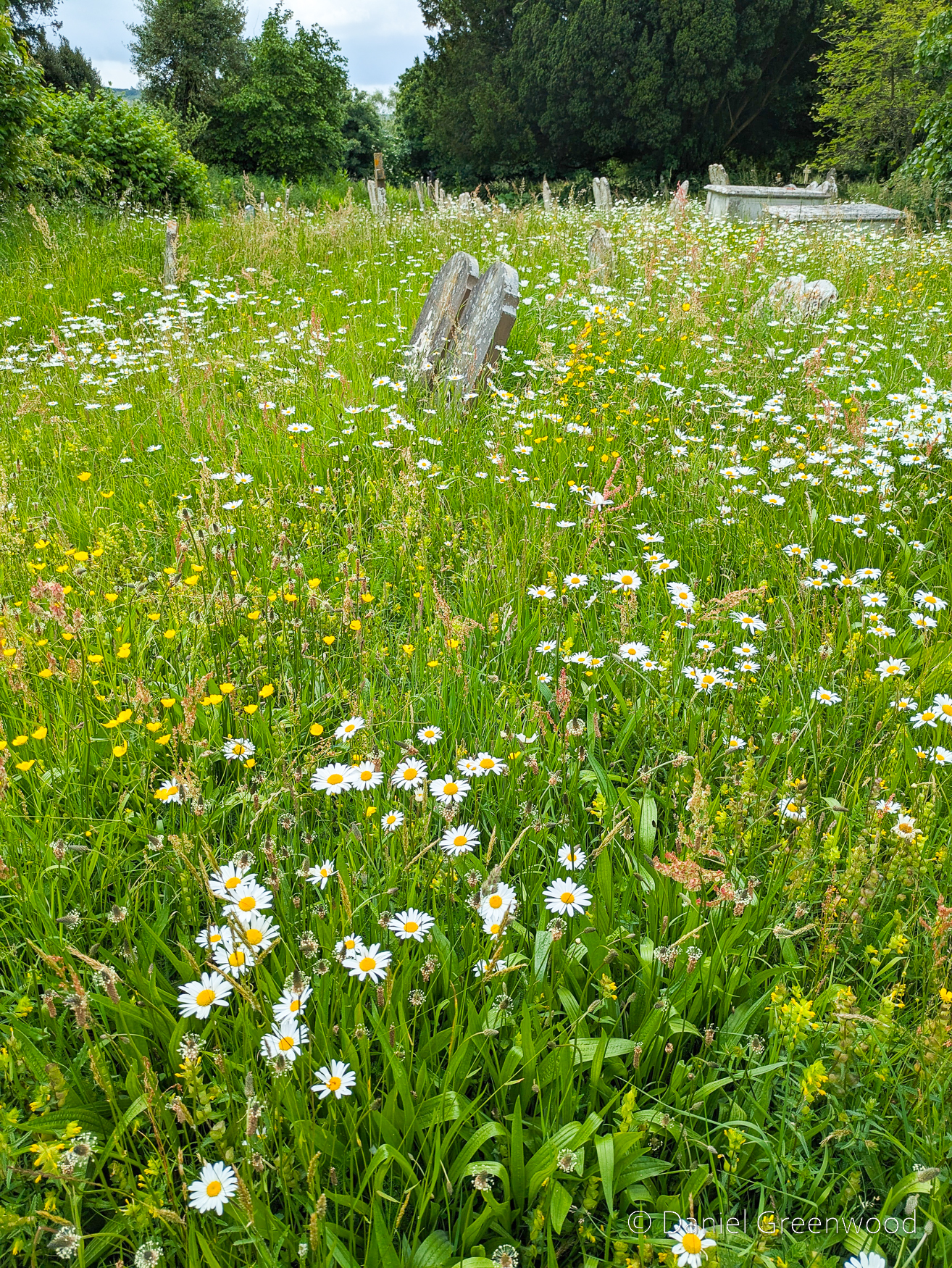
The churchyard meadows are a model of good management, with oxeye daisies aplenty in June, though they seemed to flower earlier in 2025.
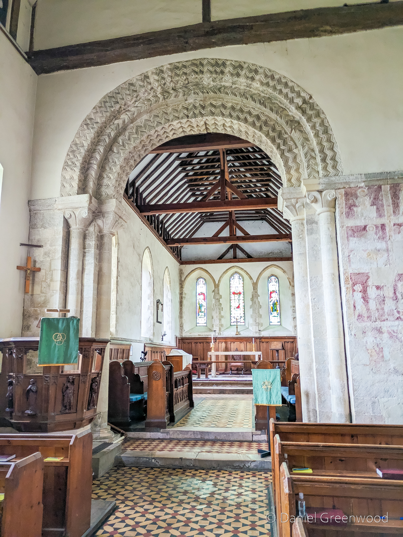
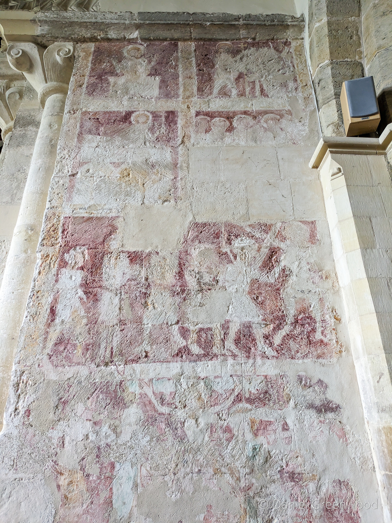
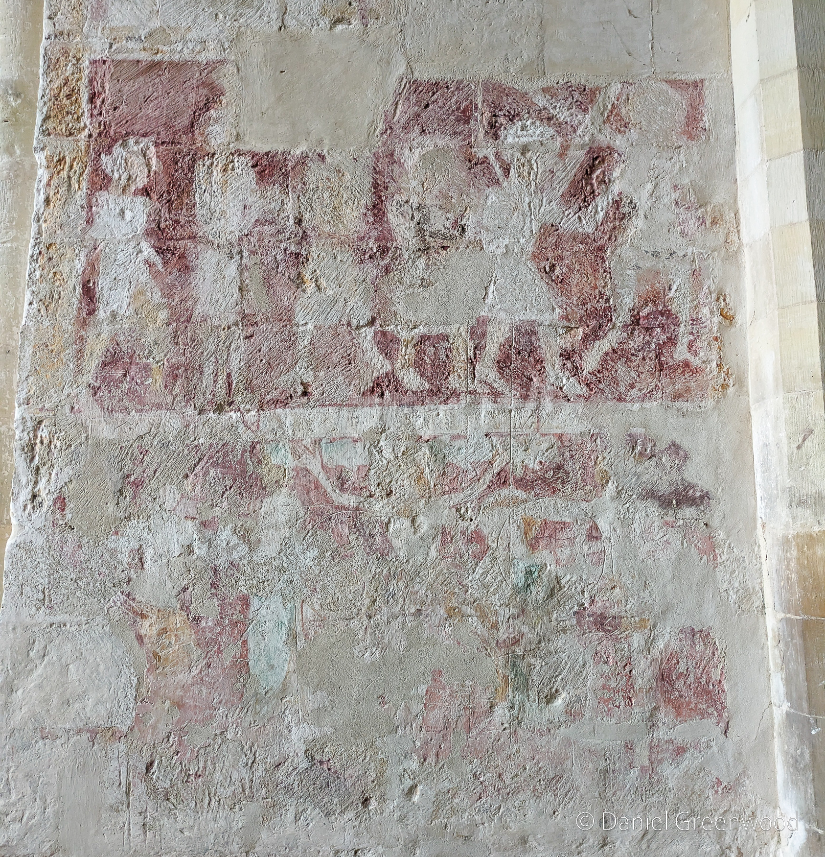
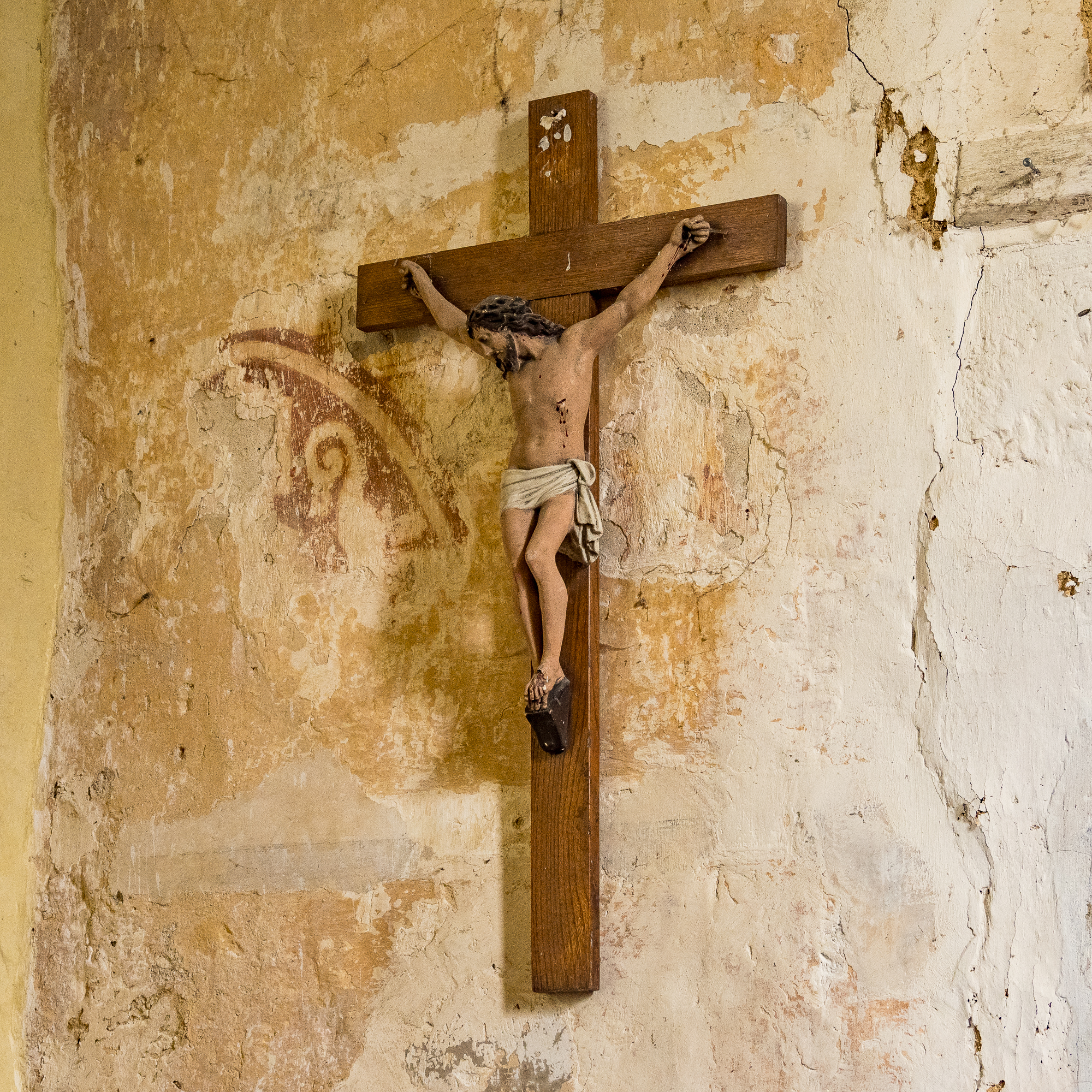
The wall paintings seen here inside the church are thought to date to the 1300s. There’s more detail about the paintings on the church’s official website. The paintings depict the resurrection of Christ, as can be seen in the central painting with the cross.
One more sniff of the meadows for the road.
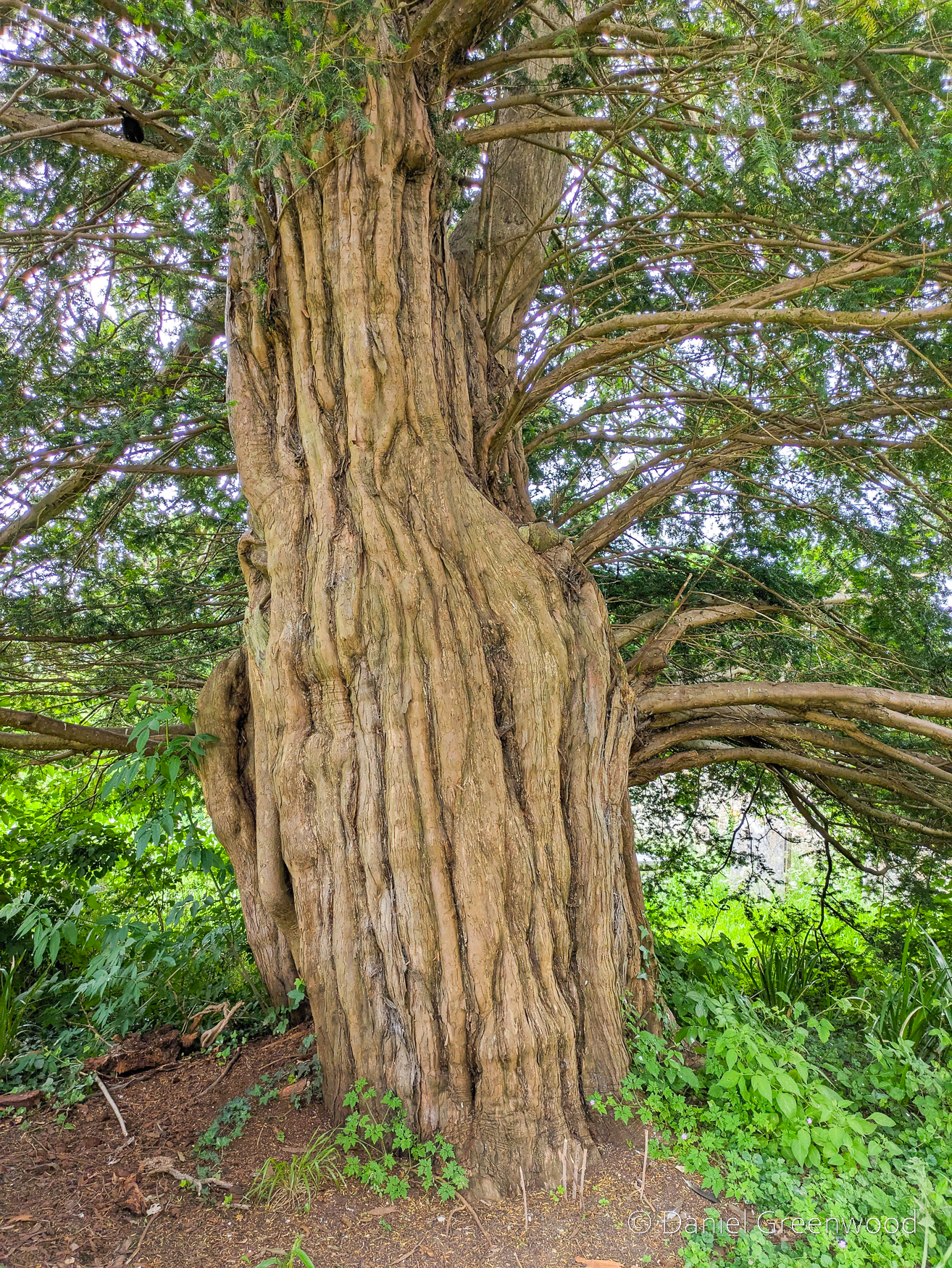
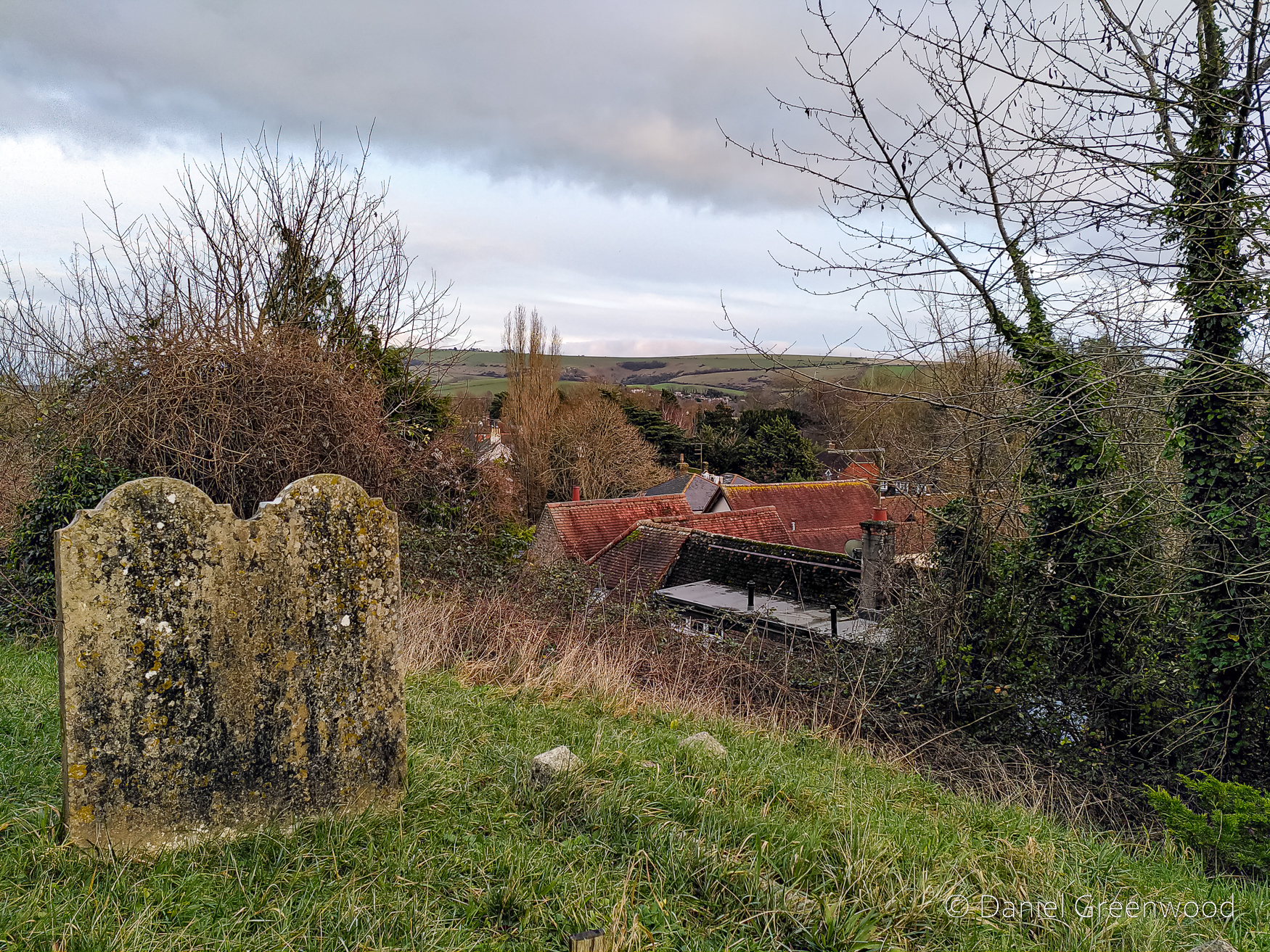
Elsewhere in the churchyard is a large yew tree, likely dating to several hundred years.
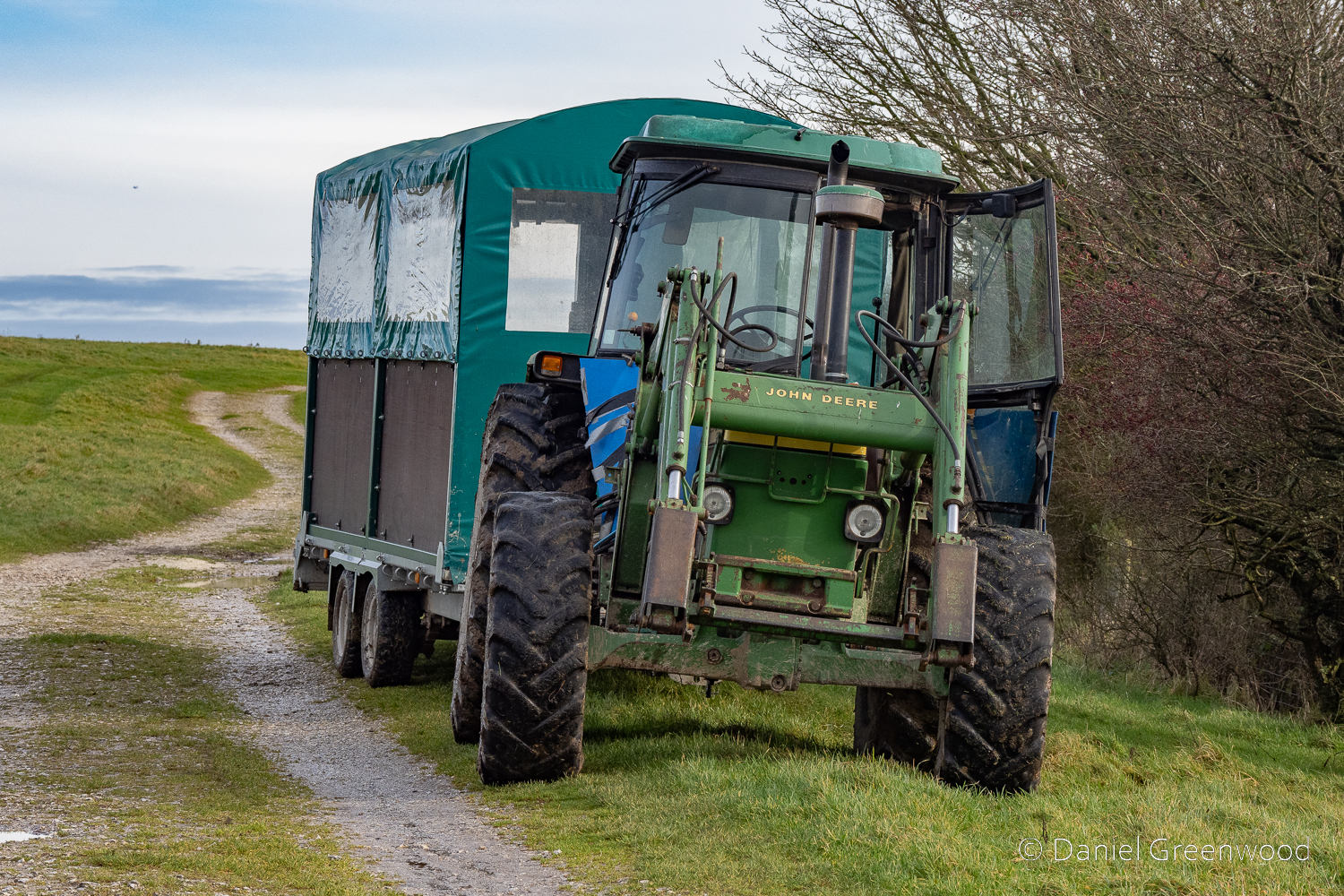
Skipping over Amberley village and up towards the South Downs Way, this ash tree was declining in 2024 and was felled at some point in 2025.
I don’t know what breed of sheep these are, but they were newly shorn.
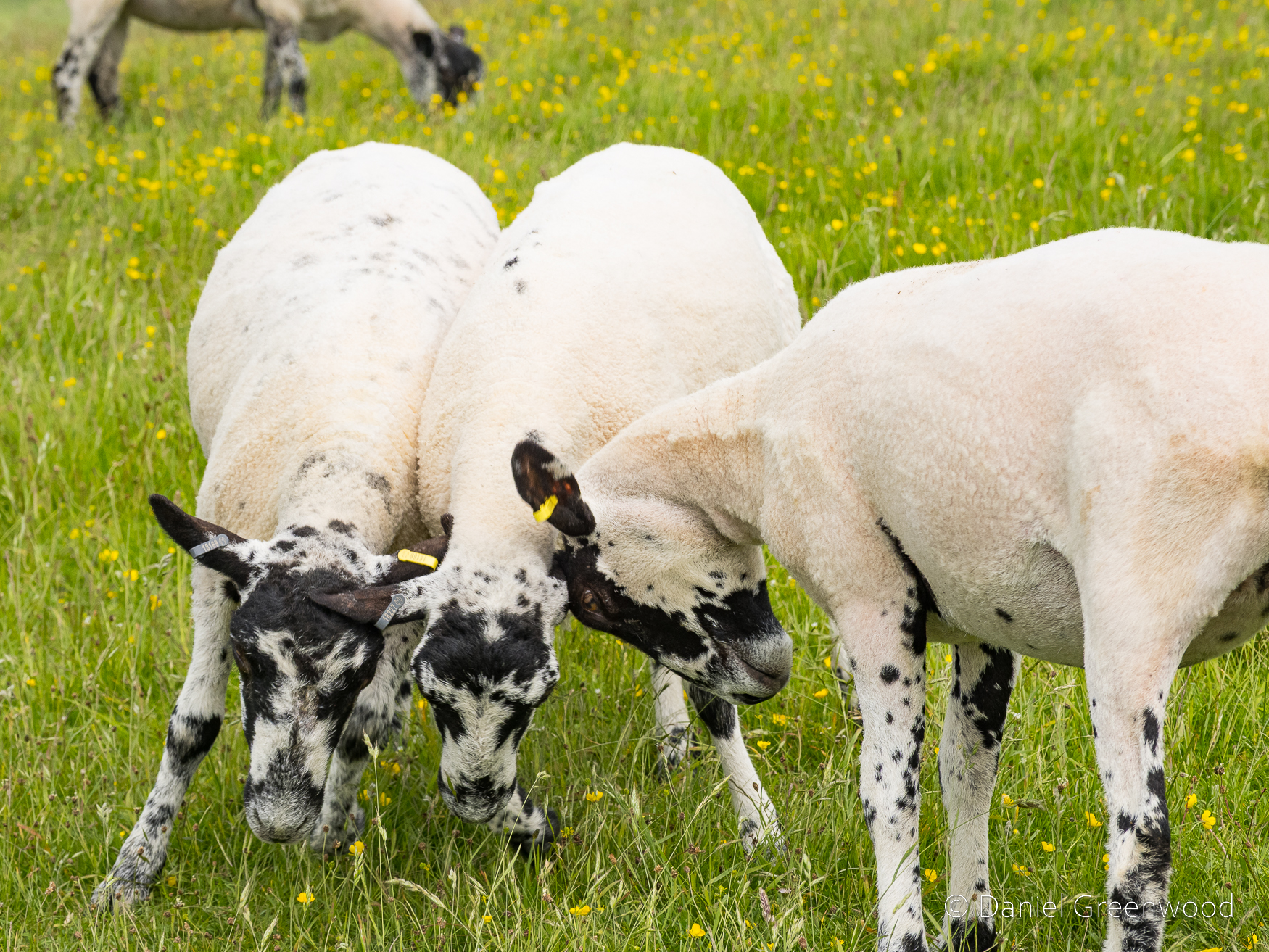
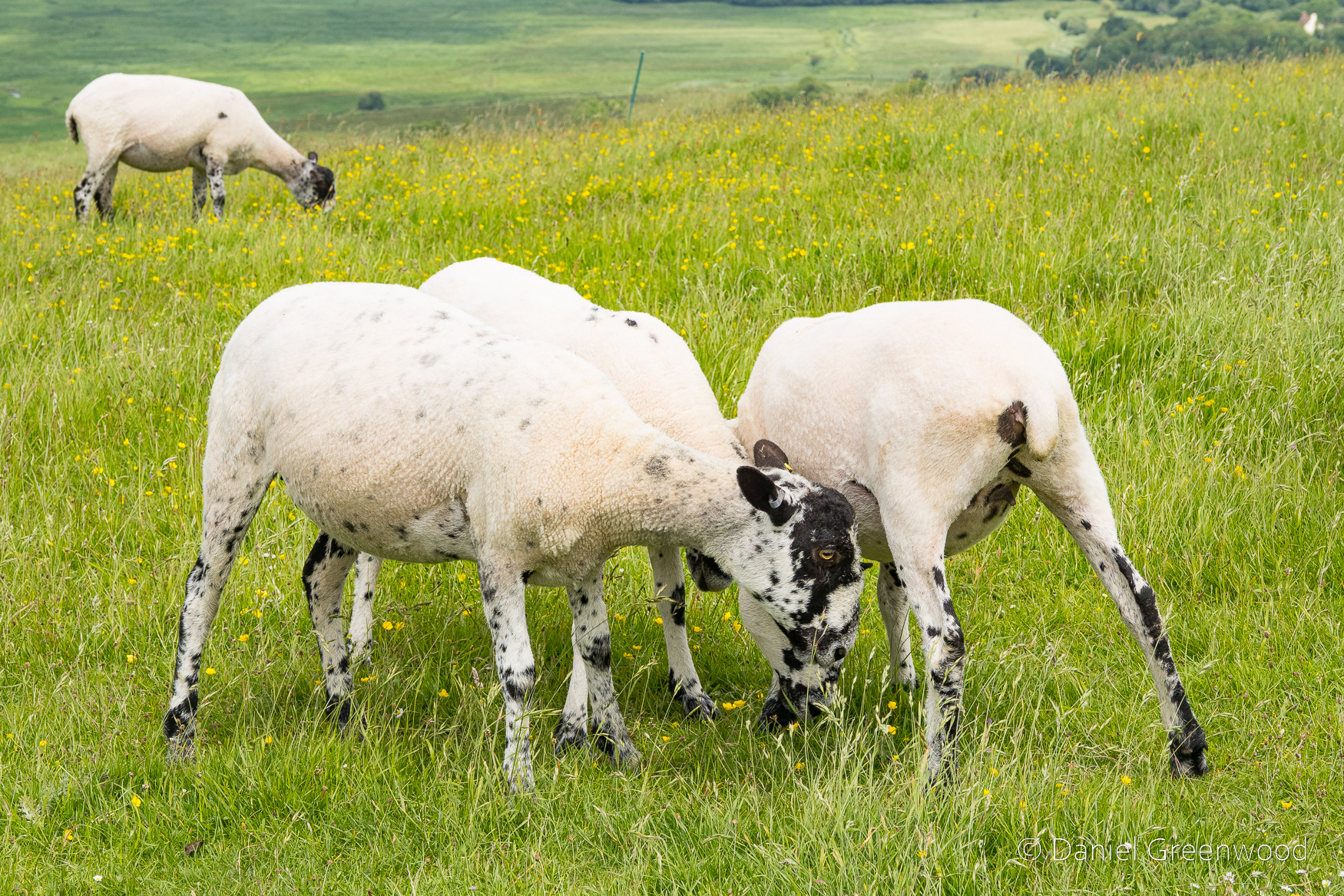
I think these are 2024 lambs, they were very playful.
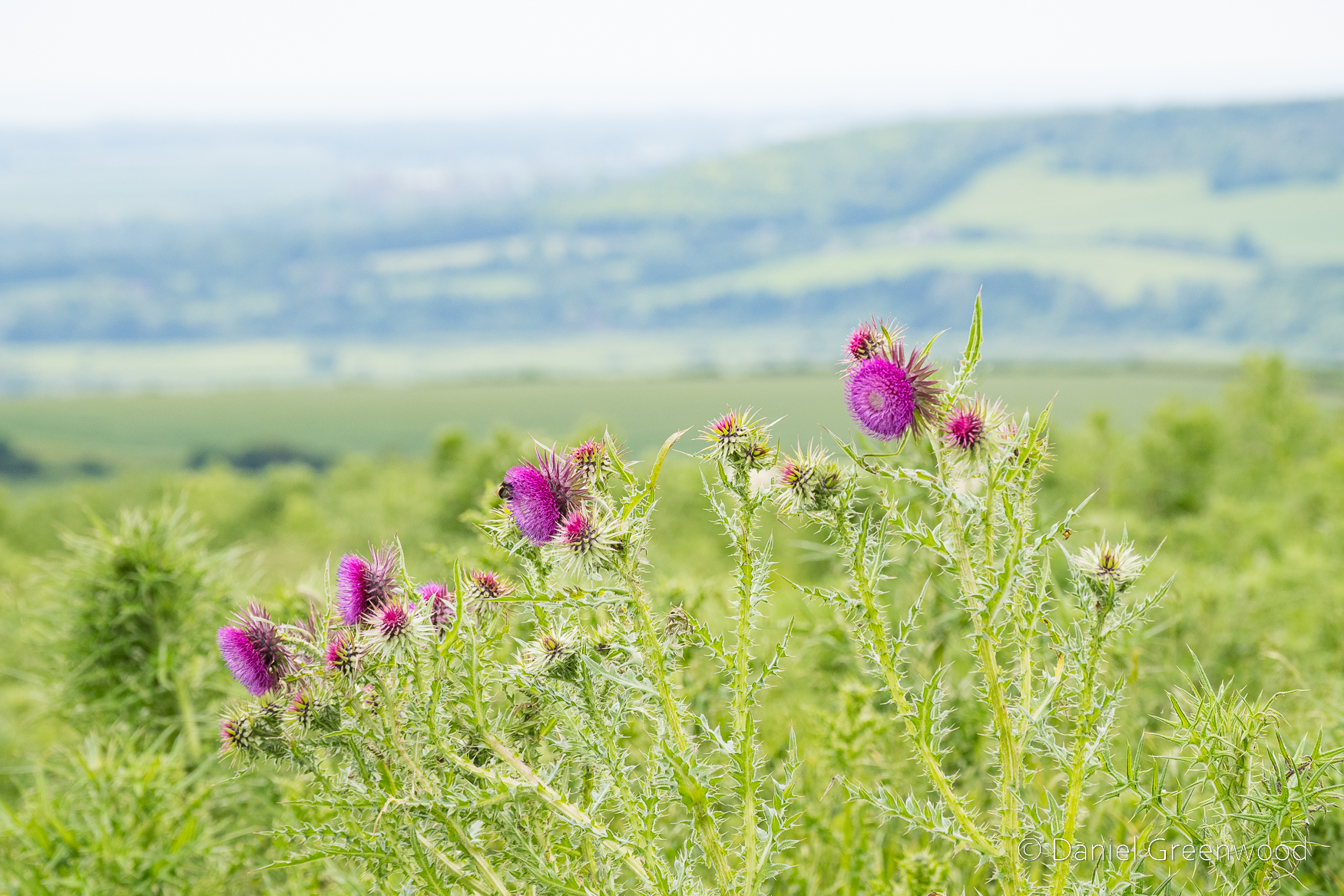
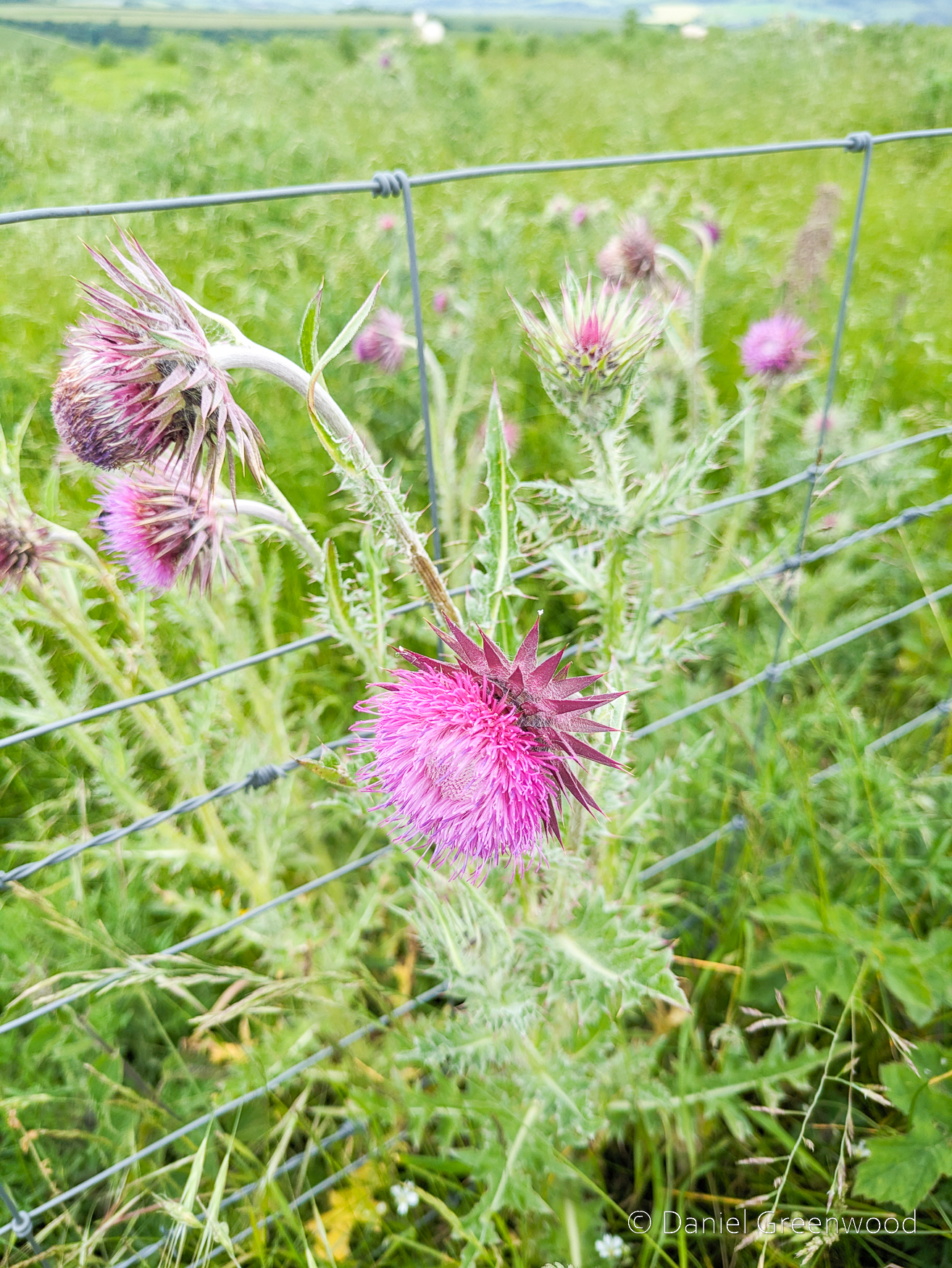
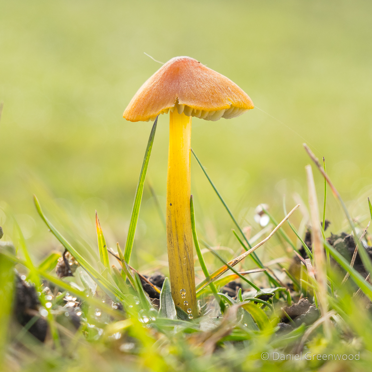
Musk thistle (Carduus nutans on iNaturalist) is a beautiful flower and popular with bees. It flowers along the margins of the South Downs Way. The first photo is mirrorless camera, the second is from the phone.
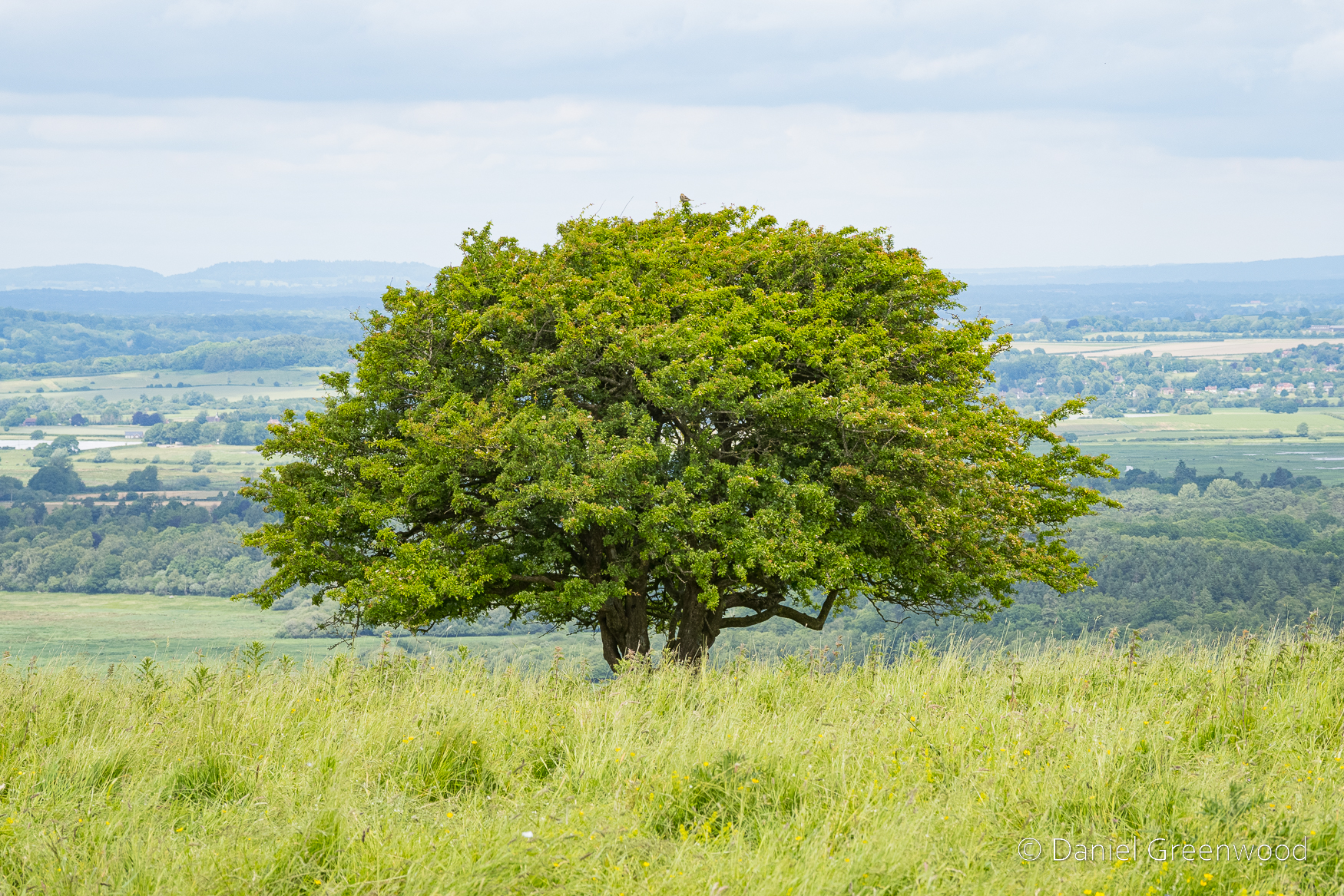
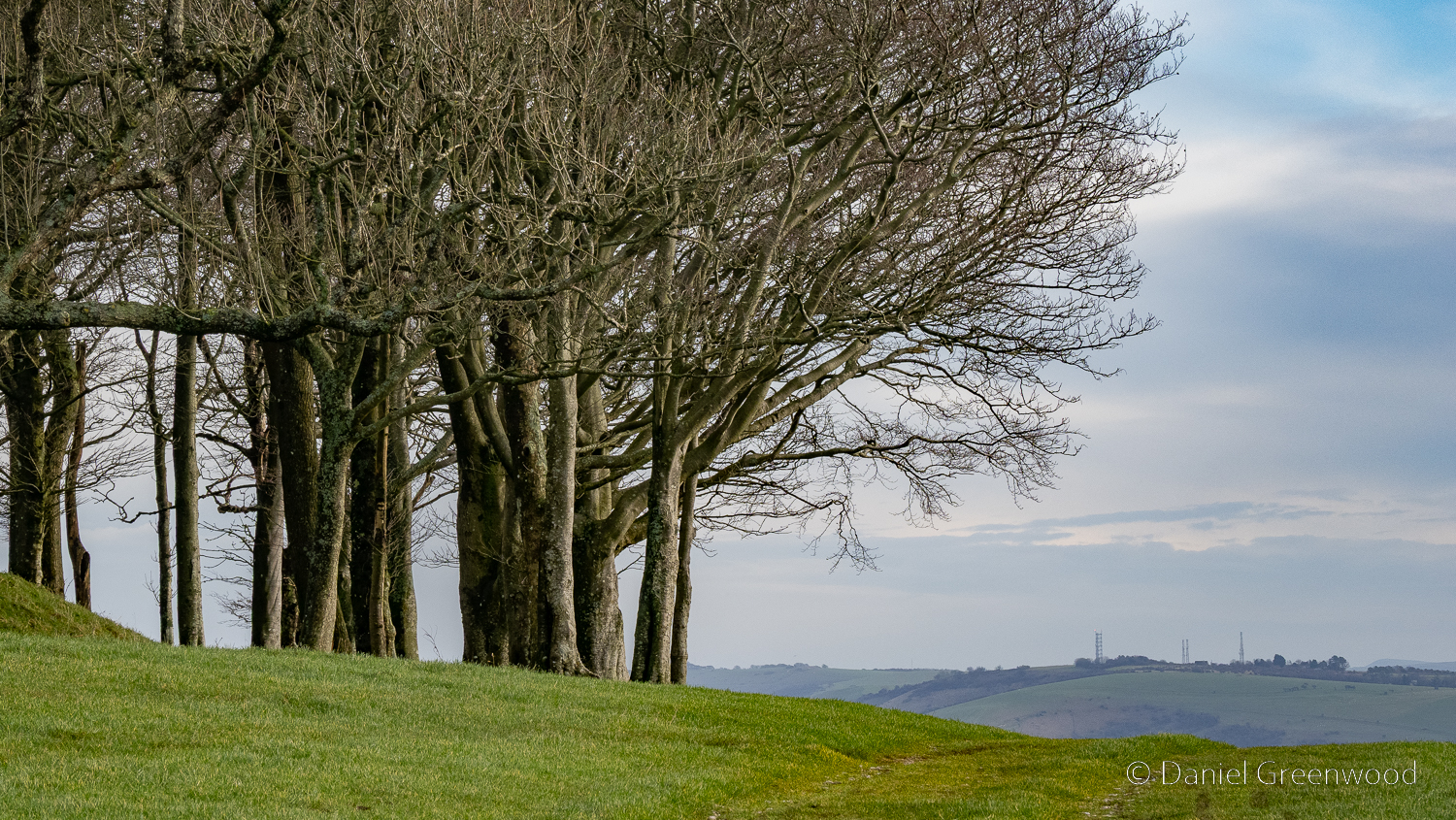
One of the iconic hawthorns with the Arun valley expanding away in the distance.
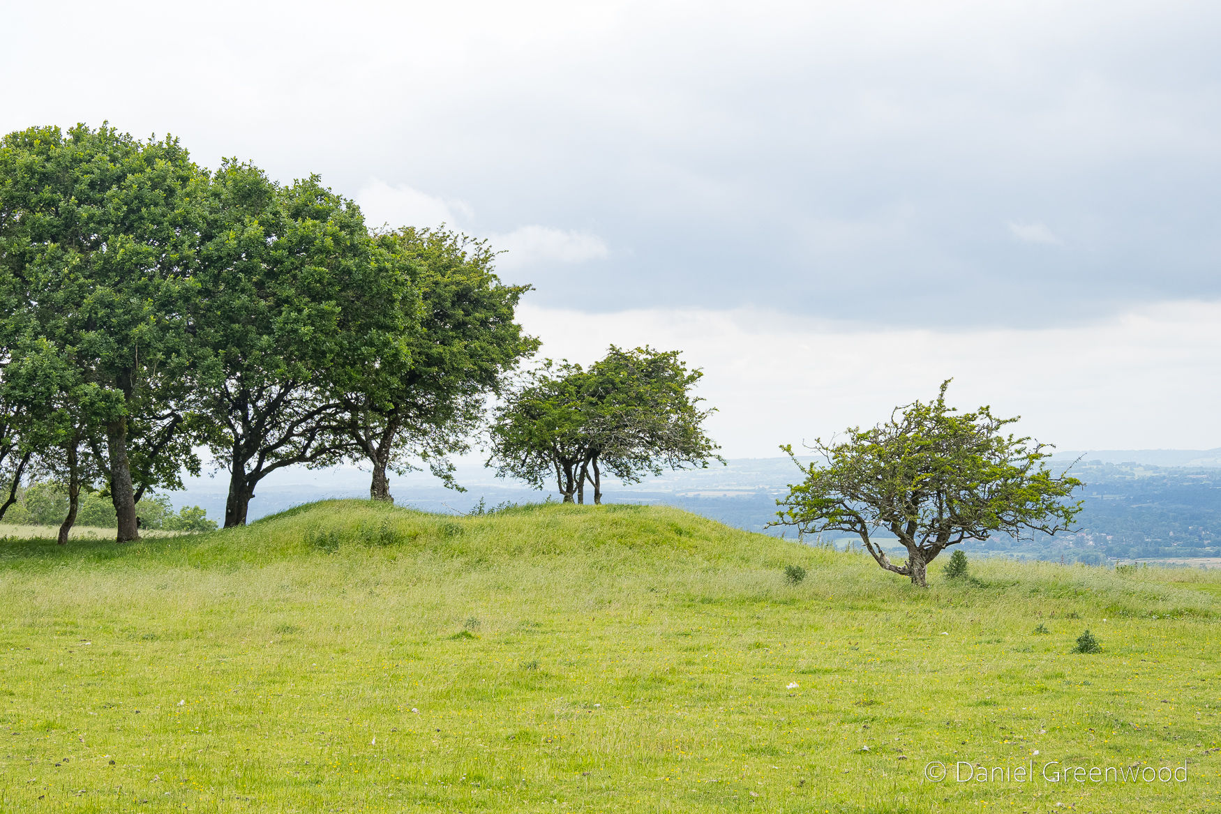
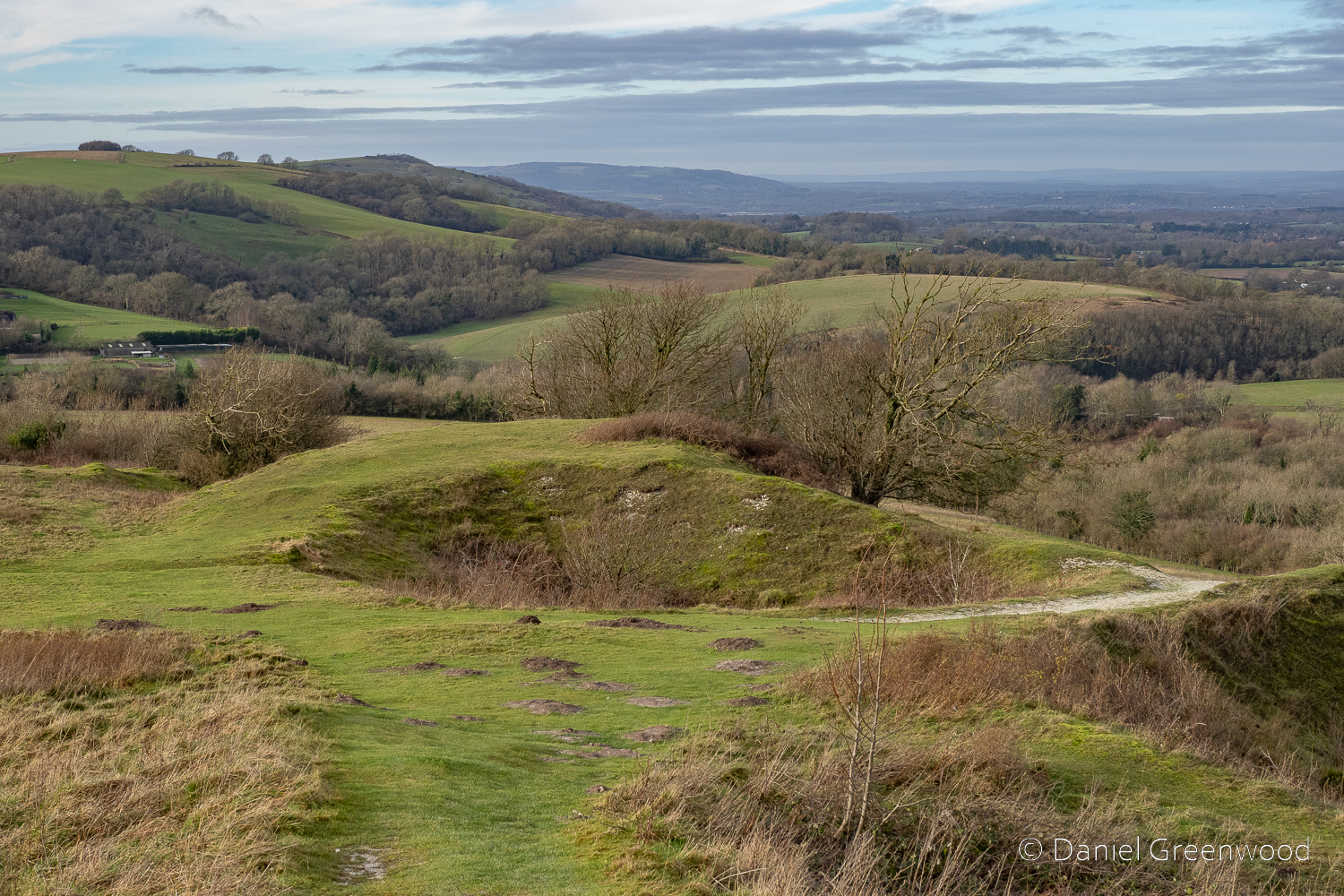
On the northern side of the South Downs Way you can see the ‘lumps and bumps’ of tumuli – burial mounds that date back to at least the Iron Age (1200-550BC). There is evidence of Iron Age communities living below Amberley Mount, which this walk passes over:
We know that Late Bronze Age/early Iron Age families lived amidst their fields here around 1100 BC: two circular huts of this period on the south-face of Amberley Mount were excavated and remains of horses and ponies were discovered and were presumably used on the farm. One hut was 36 ft in diameter, the other 25 ft: sizeable dwellings that must have supported quite large family groups.
Amberley Parish Council
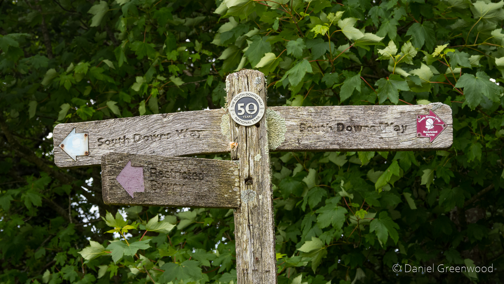
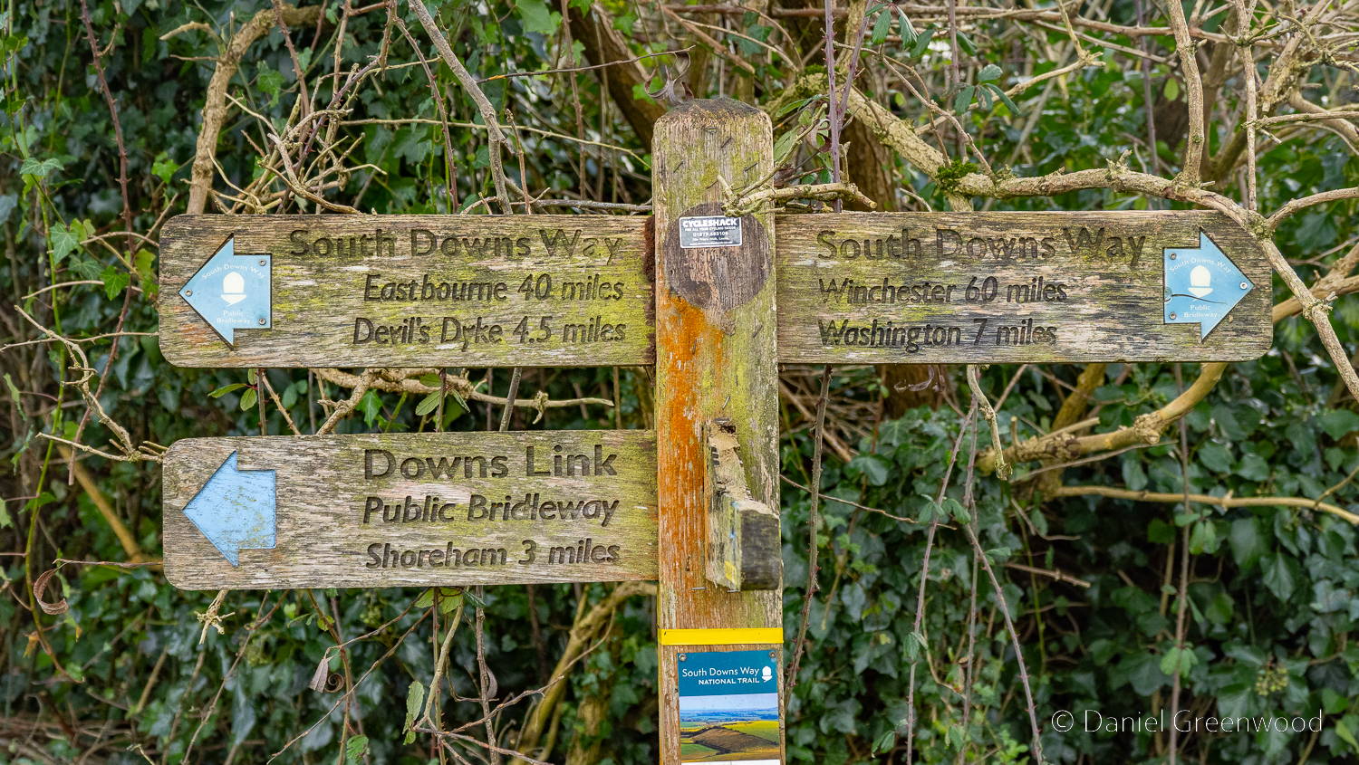
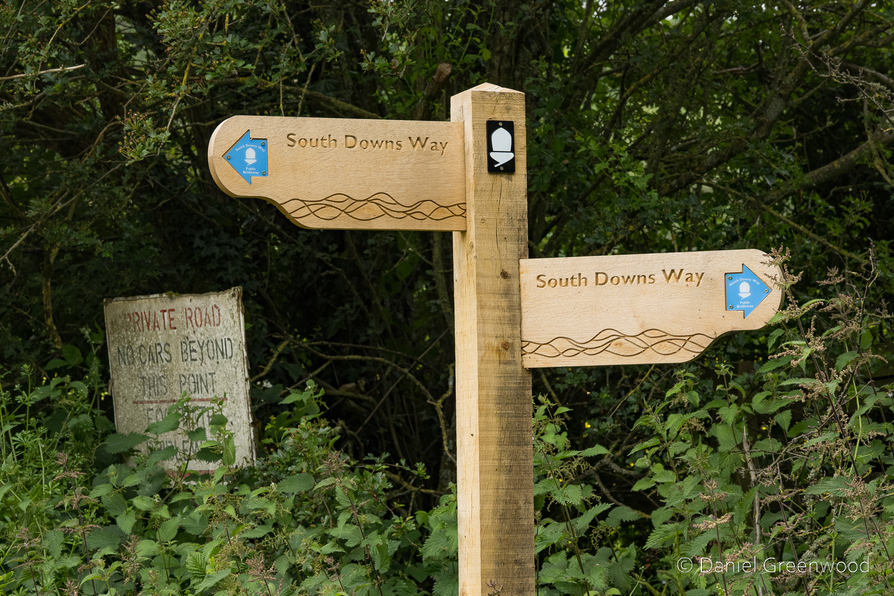
A South Downs Way fingerpost aged in lichen and weathered by rain.
This lovely scene at Kithurst meadow became a momentary nightmare after a little pheasant chick crossed my path. Their mother appeared and attacked me for a good minute or so, not allowing me to head back towards the South Downs Way.
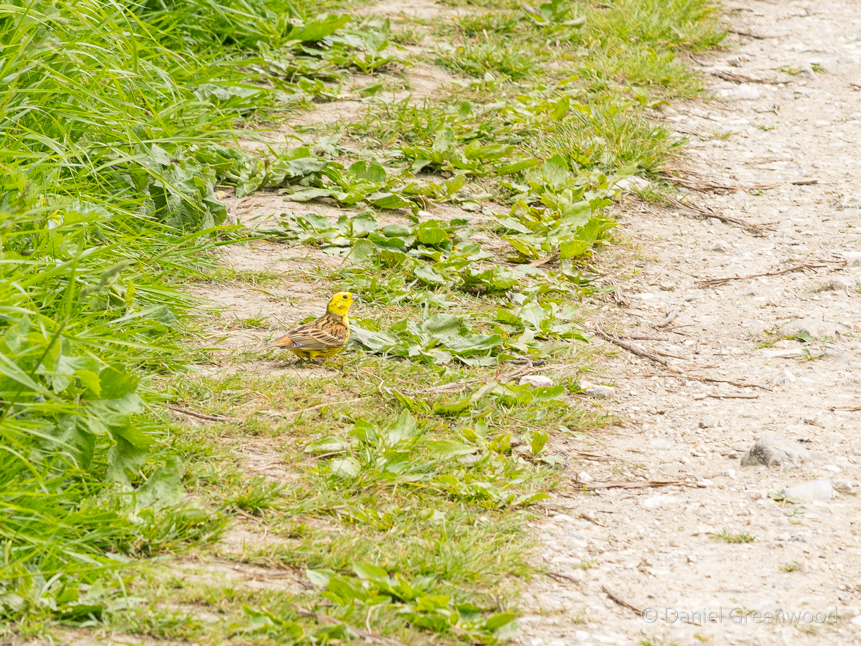
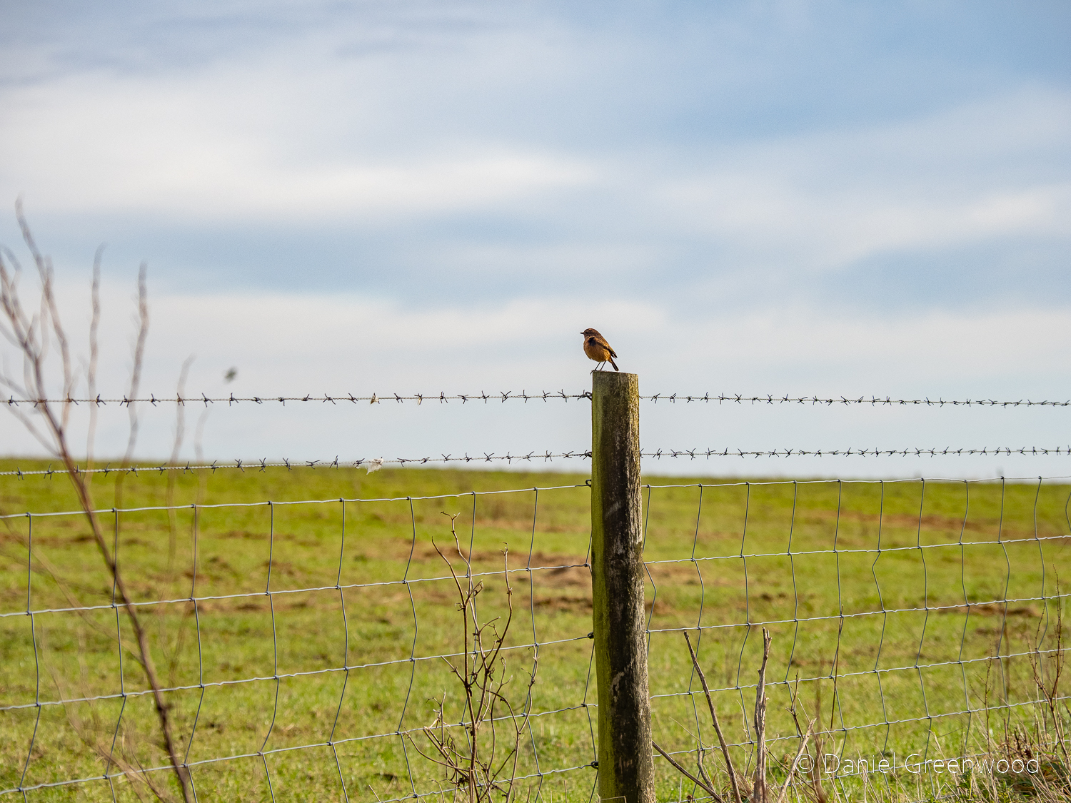
Yellowhammer foraging along the South Downs Way. Thankfully it did not attack and I was allowed to pass.
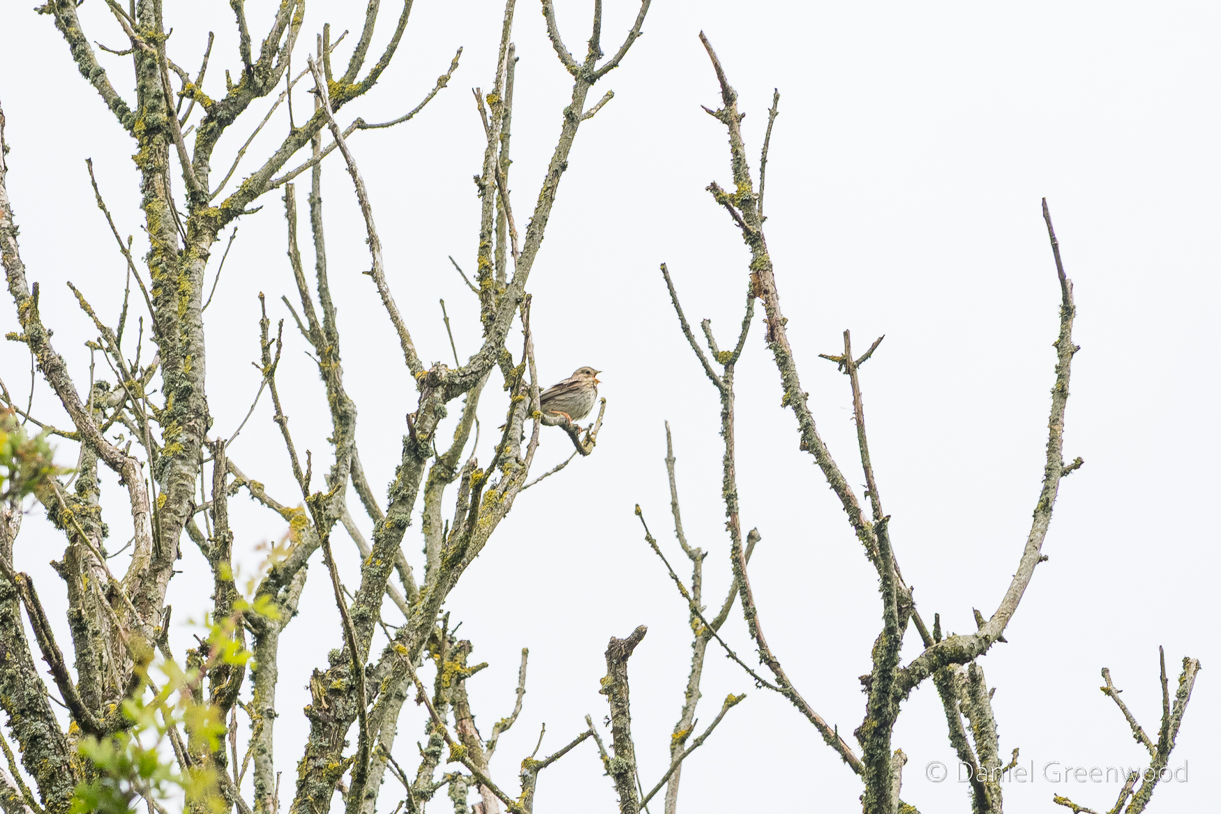
Corn bunting, a now much rarer bird, along a stretch of the South Downs Way where I always find them in the spring and summer.
And here it is – Corn Bunt’ Alley.
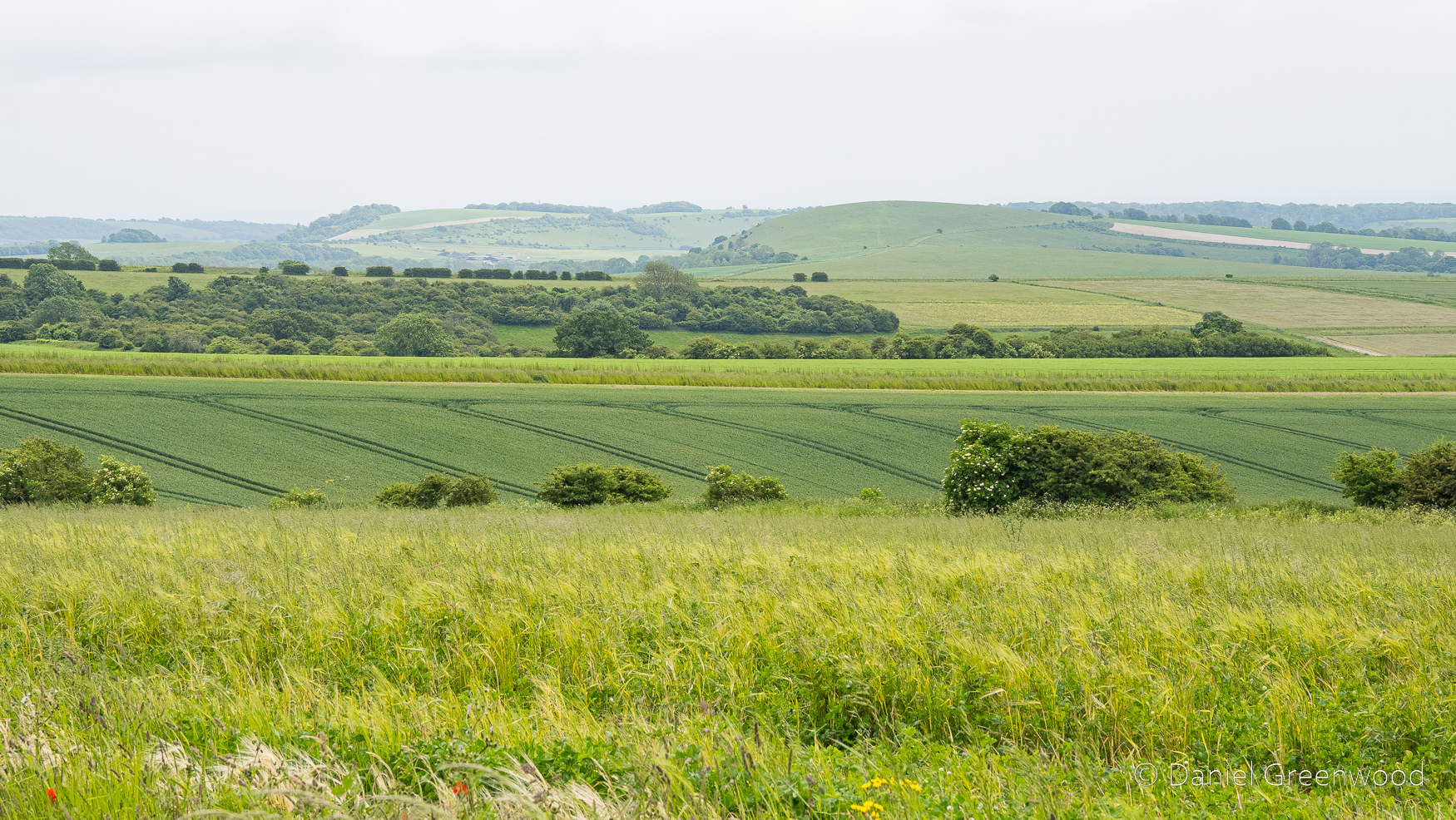
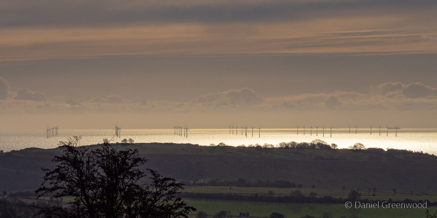
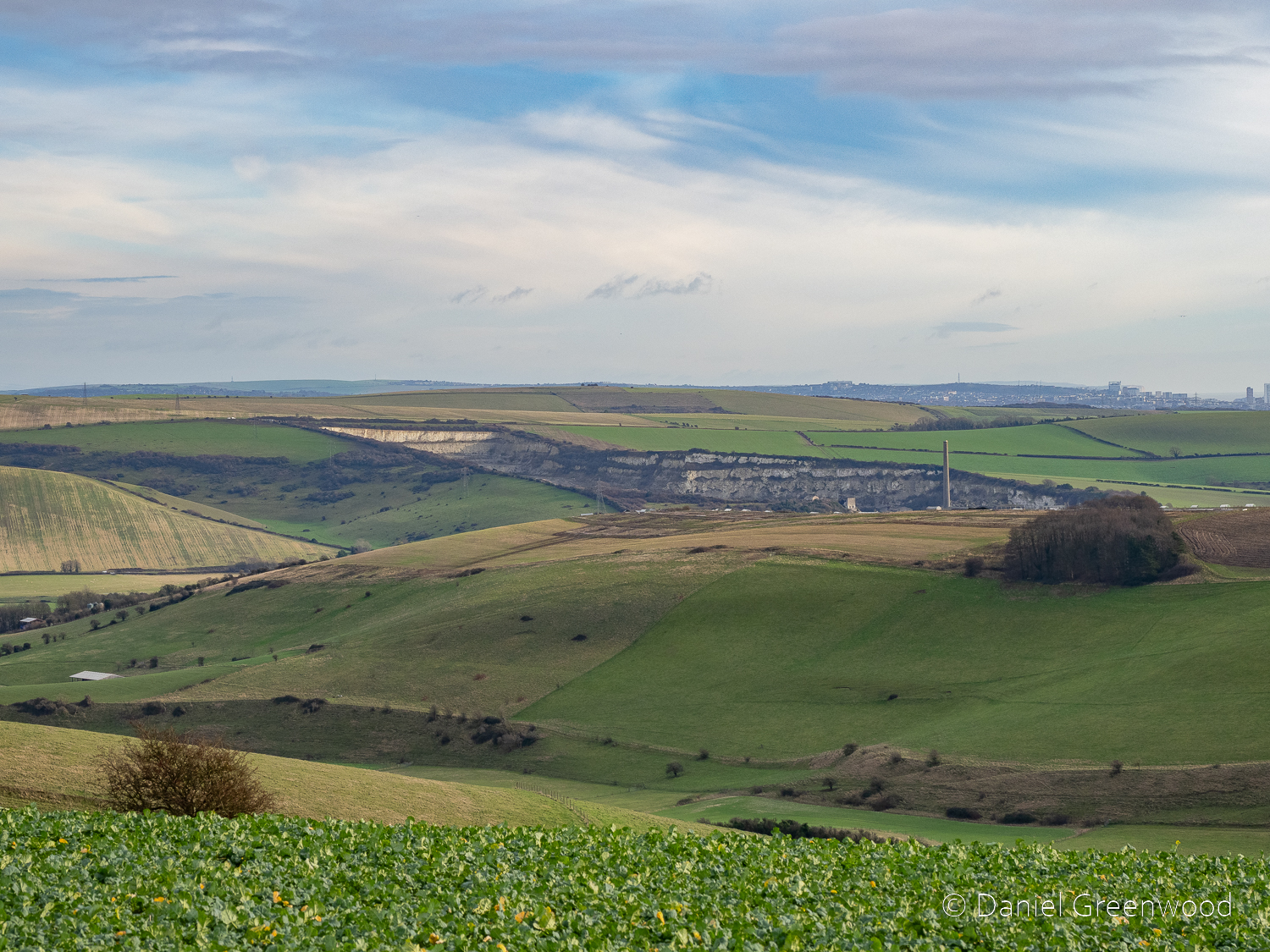
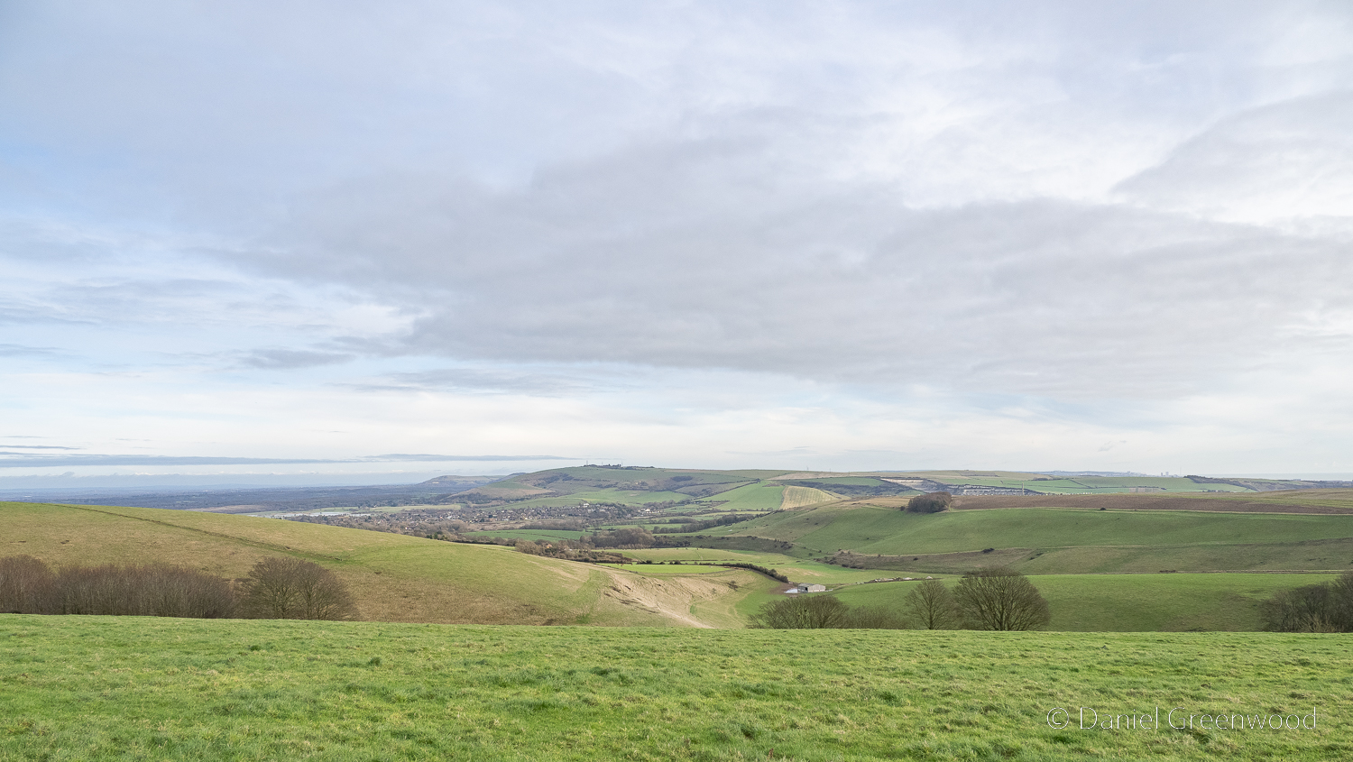
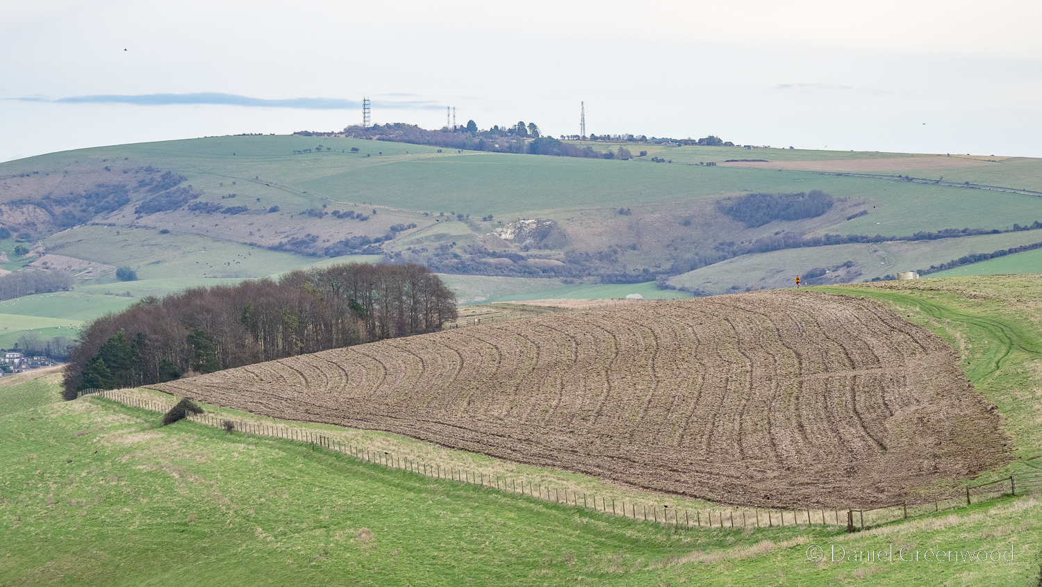
The Downs plateau into arable fields here, sweeping towards the coastal towns.
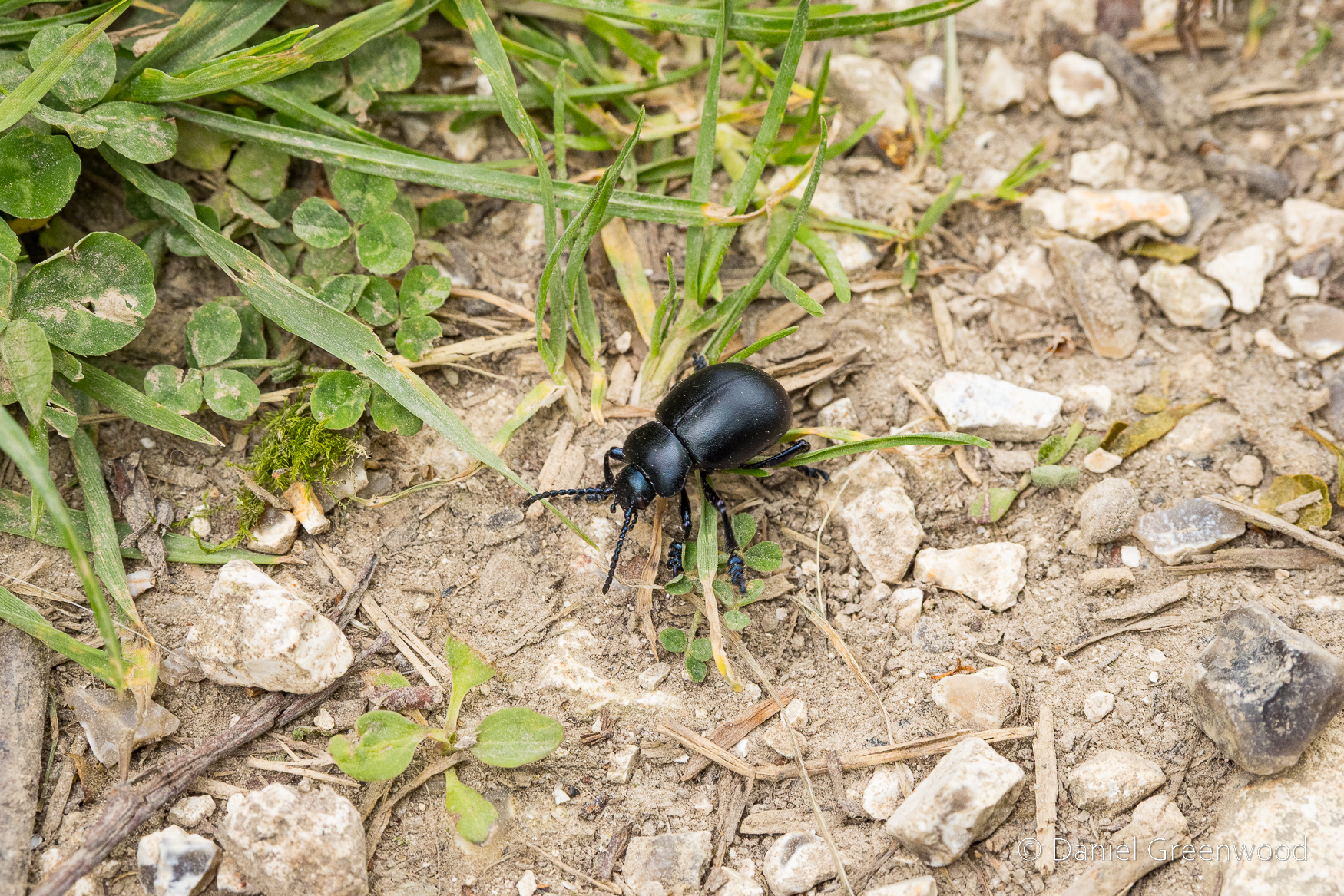
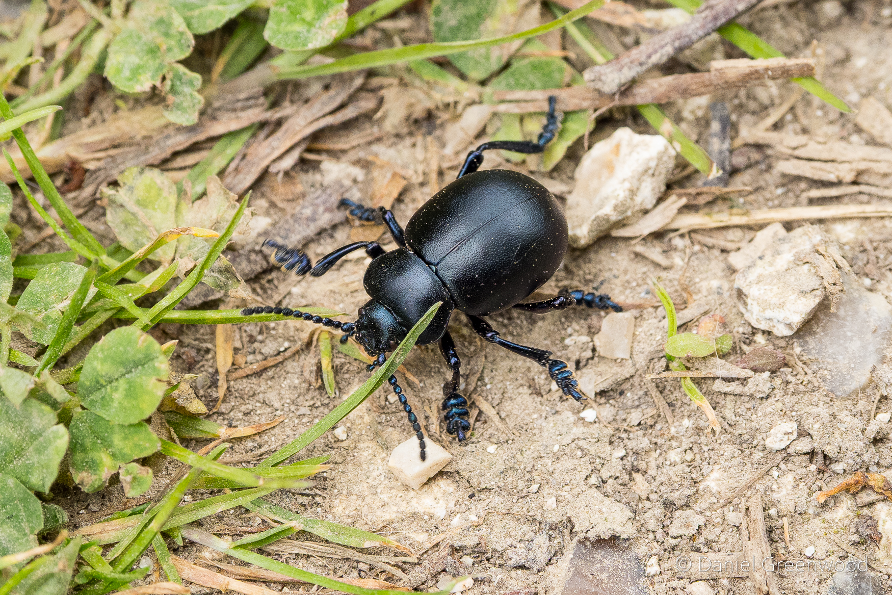
Bloody-nosed beetle. I enjoy their boots.
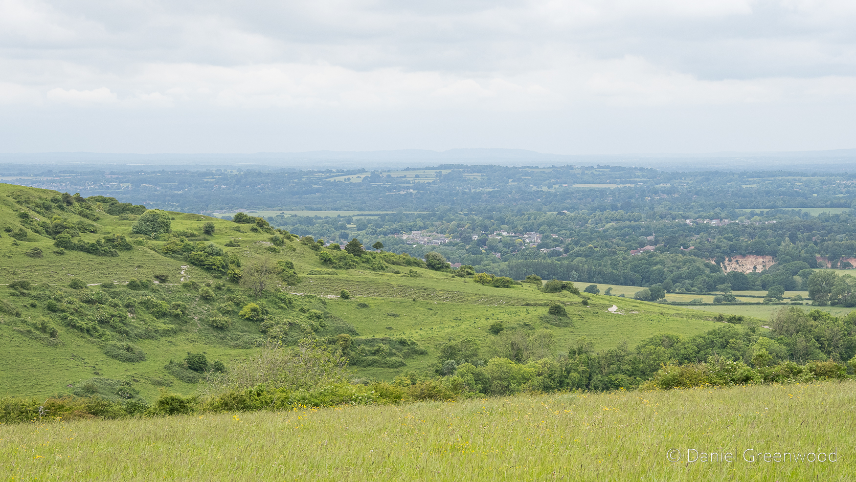
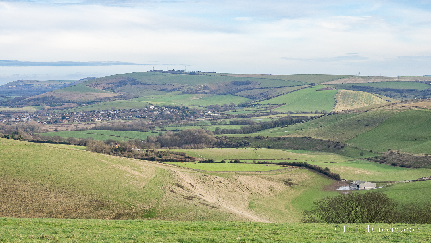
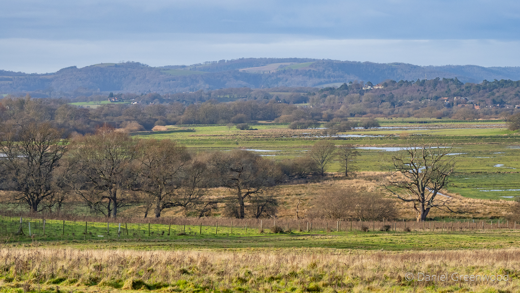
A view north into the Sussex Weald.
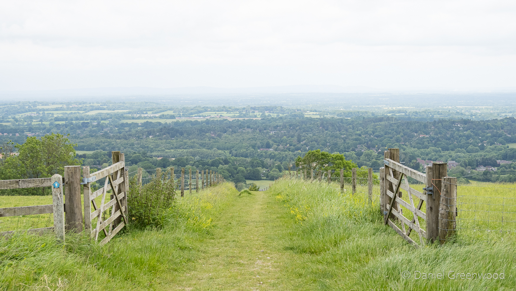
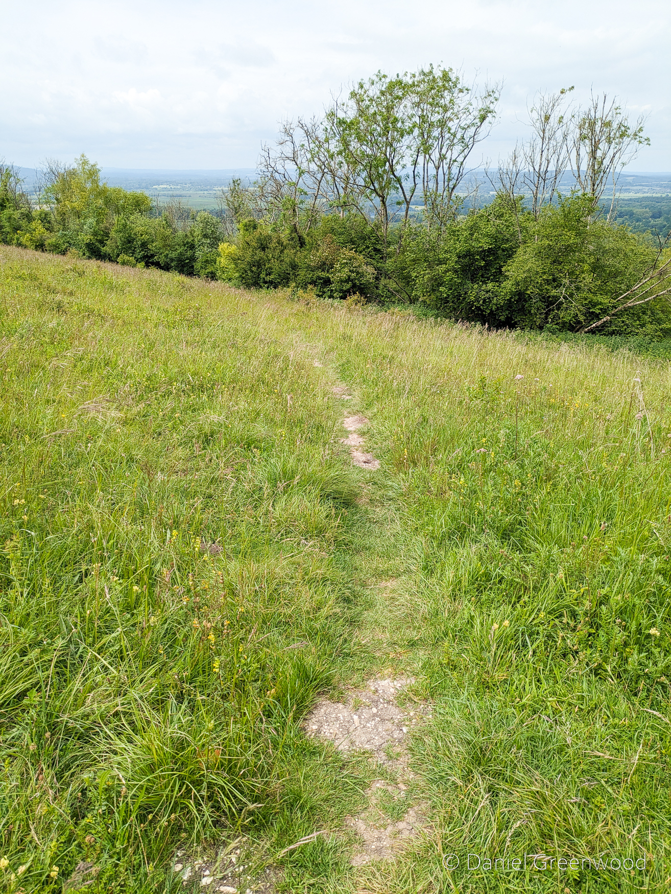
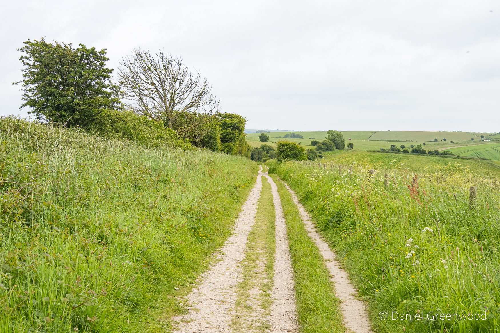
Exiting the South Downs Way towards Washington.
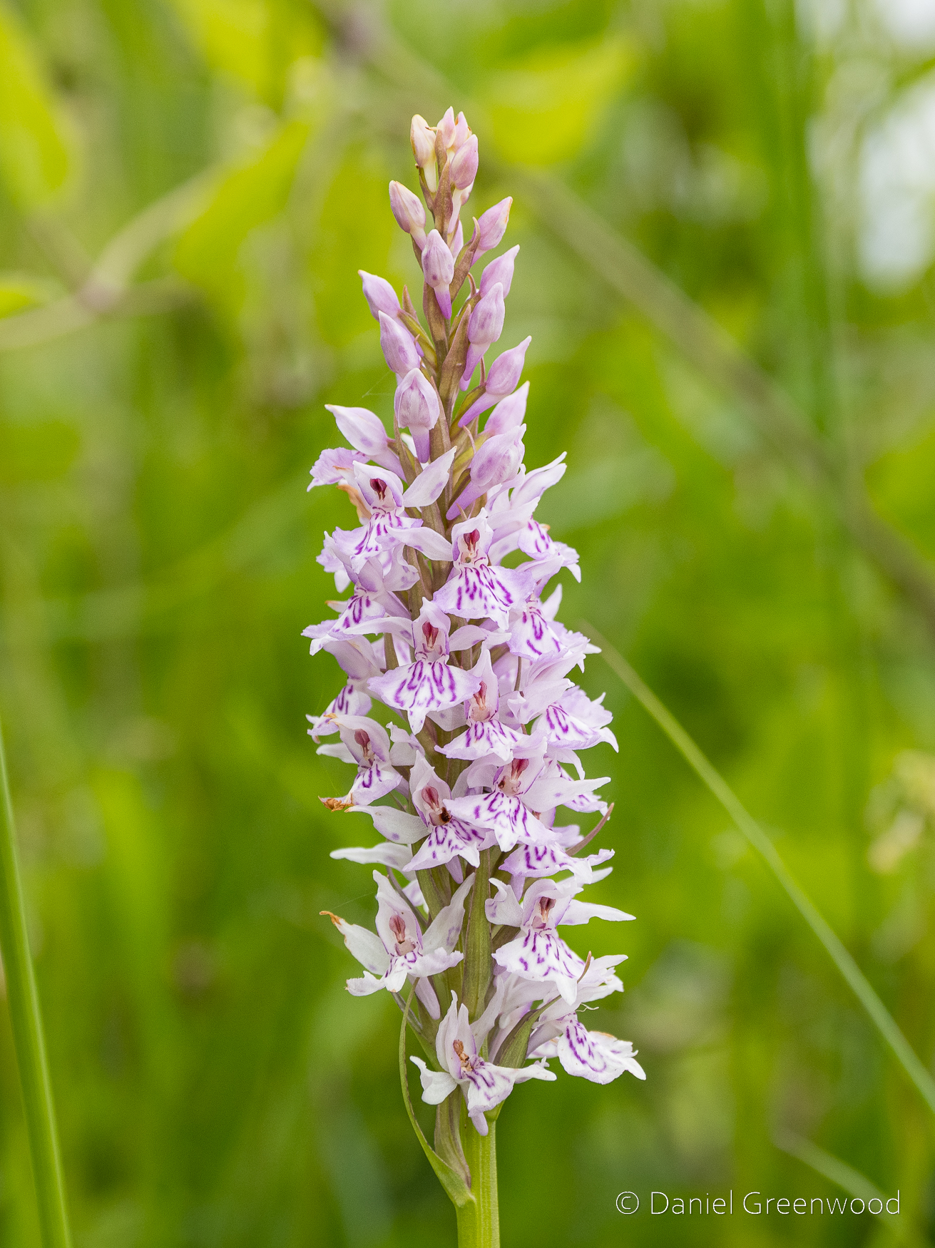
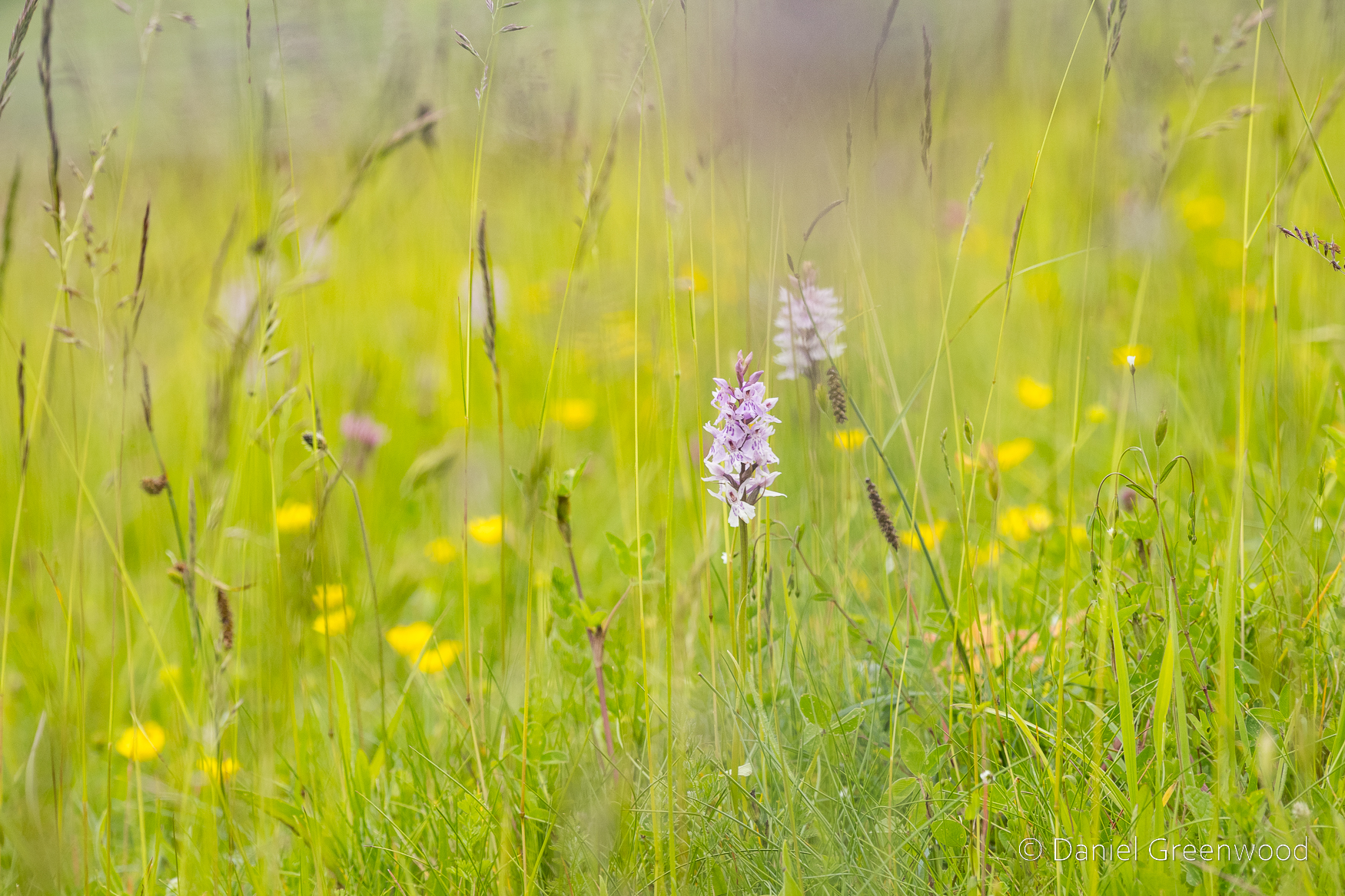
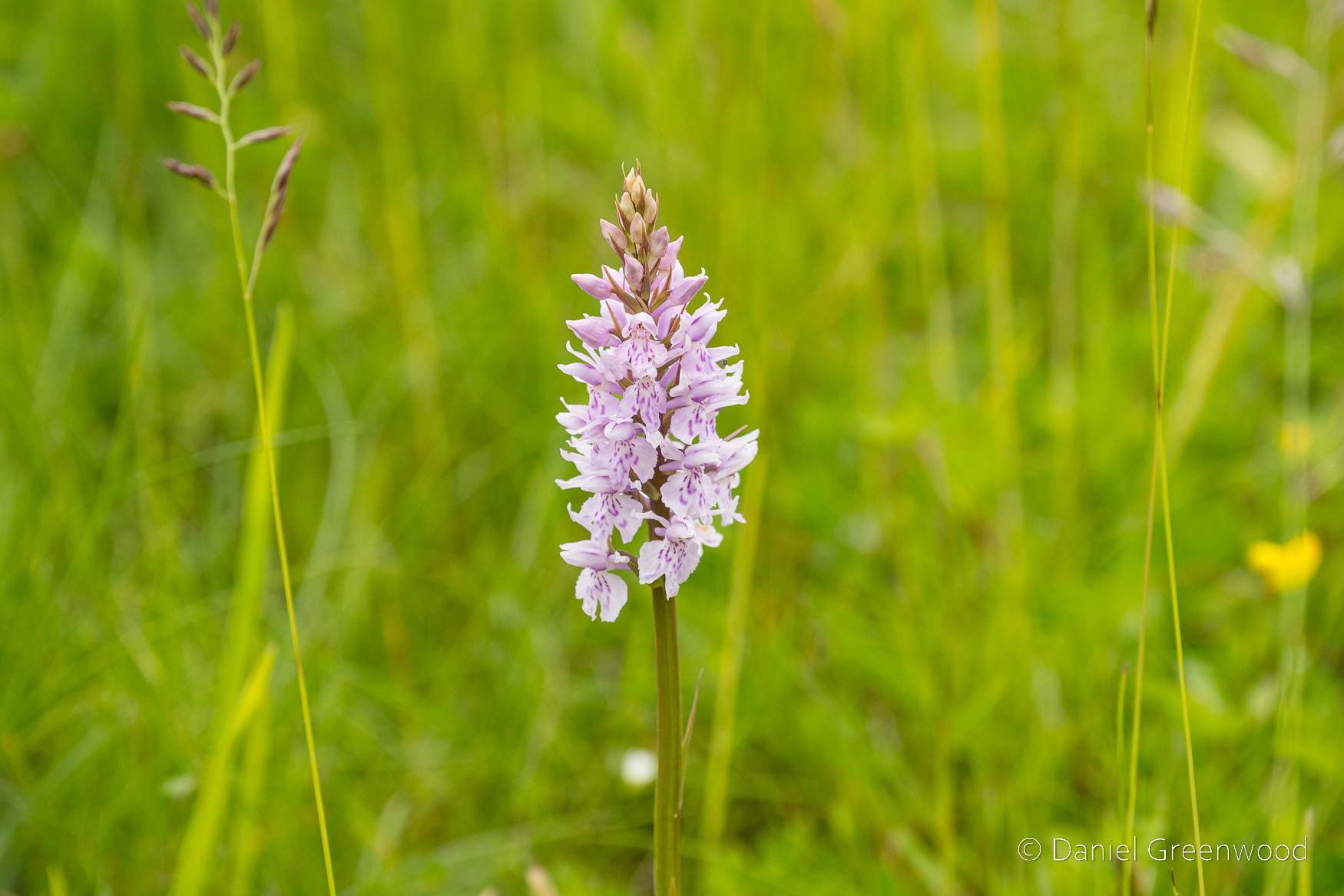
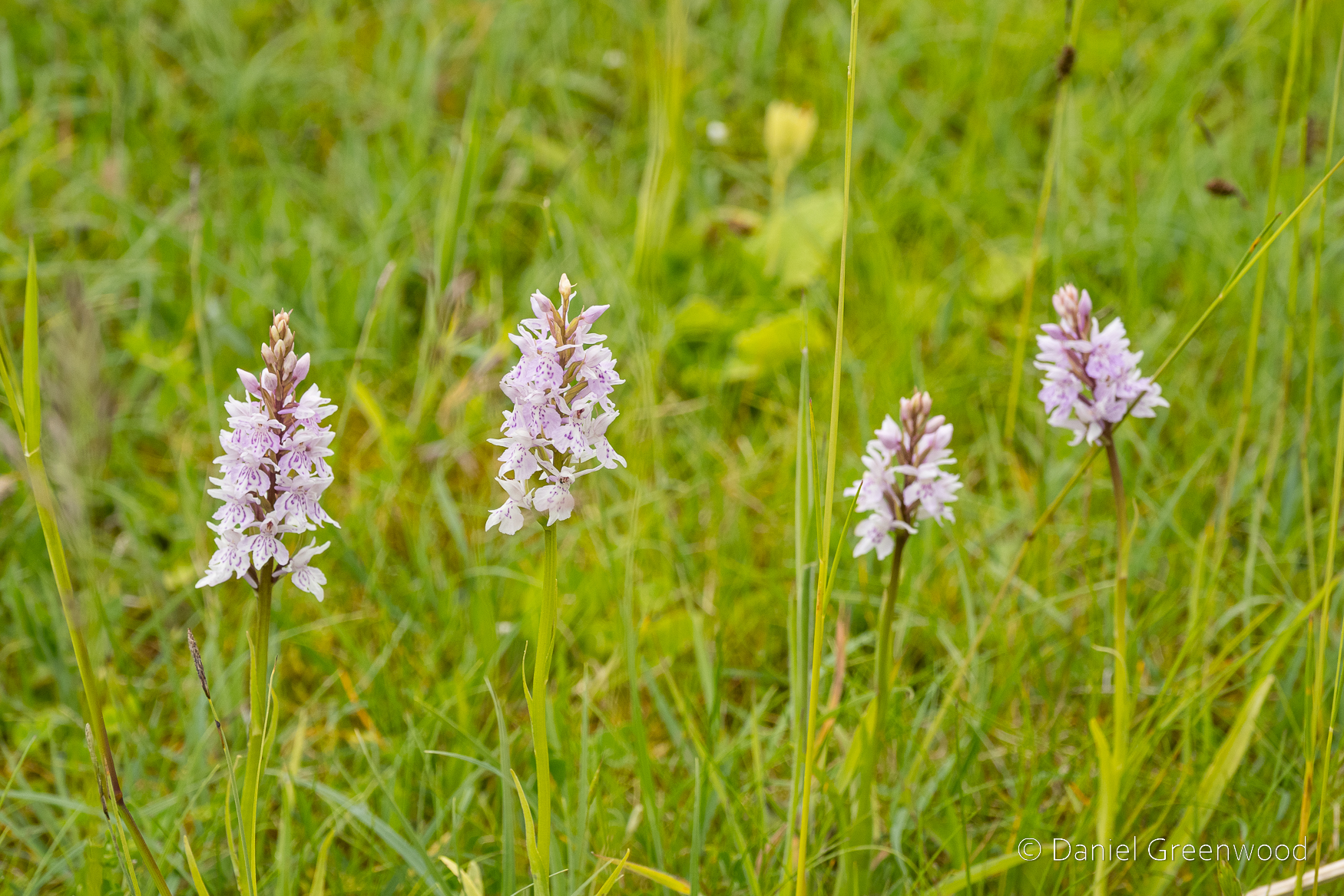
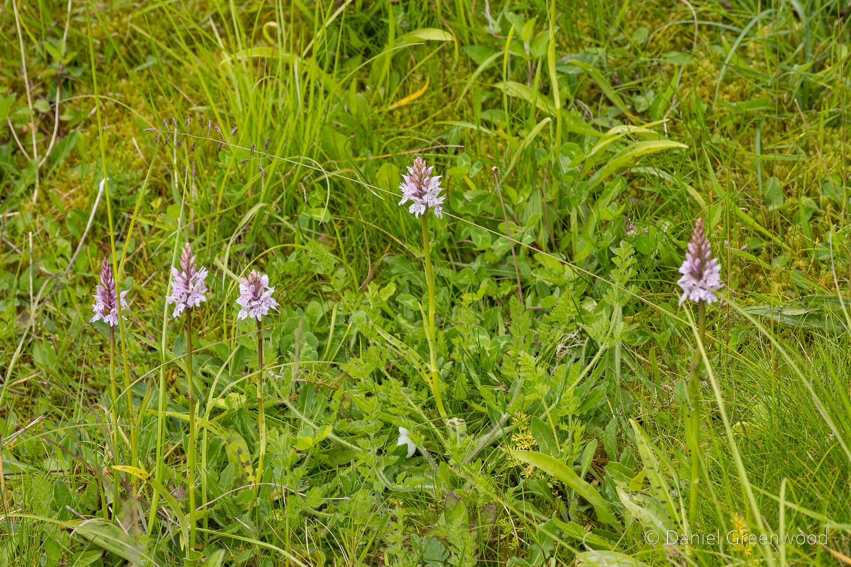
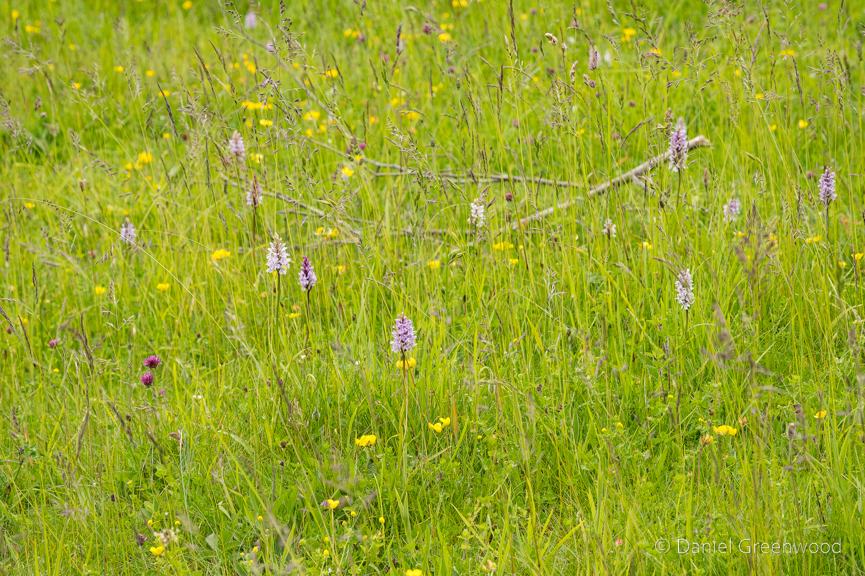
Common spotted orchids live up to their name on the Downs.
The meadows to the left are some of the richest on this walk, particularly at the top of the hill.
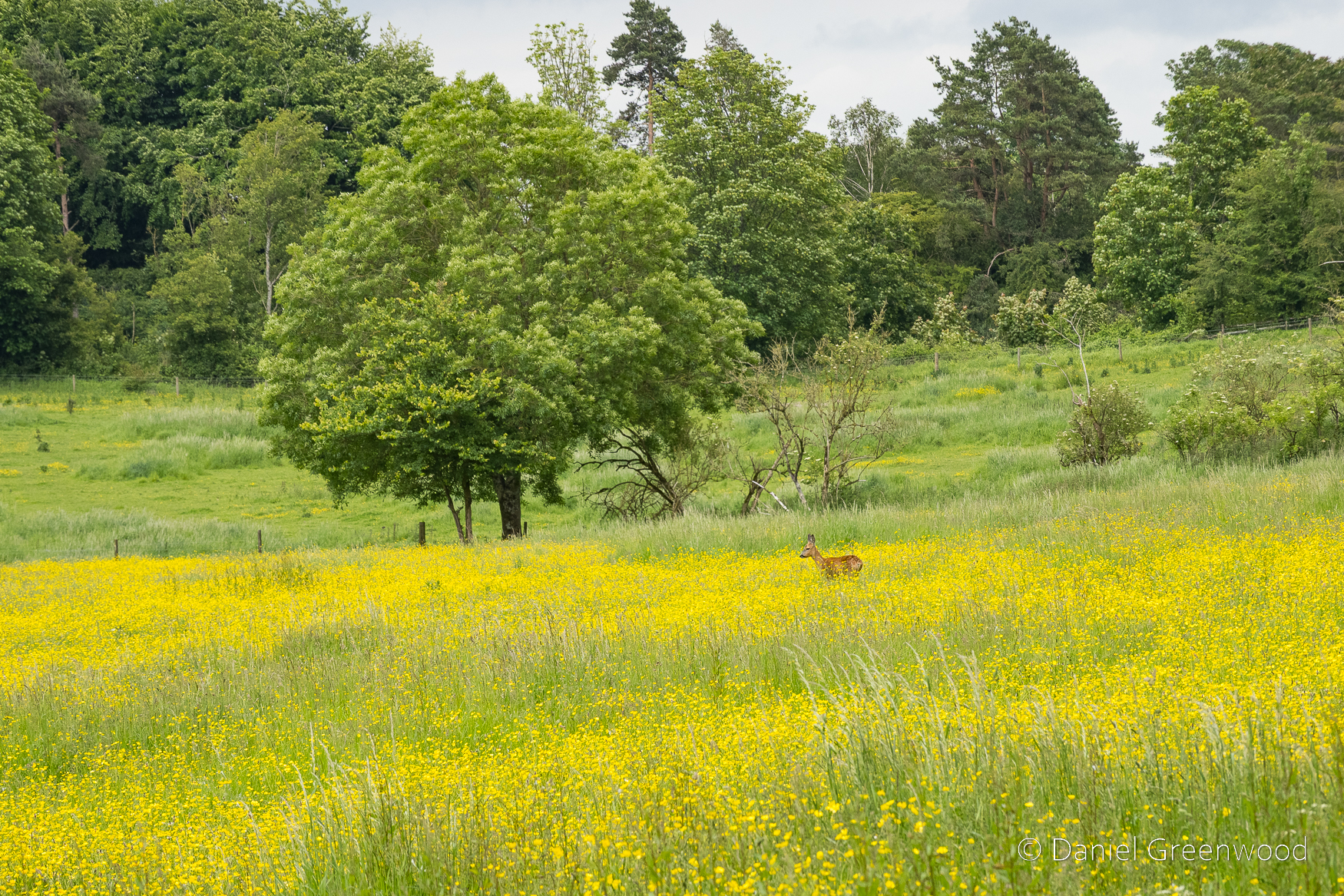
A roe deer grazing in a field of buttercups.
At this point it’s goodbye to the South Downs Way and hello to Washington.
Thanks for reading.