Arun valley oaks around Billingshurst

Billingshurst and the Wey-and-Arun Canal, West Sussex, January 2024

Pre-ramble

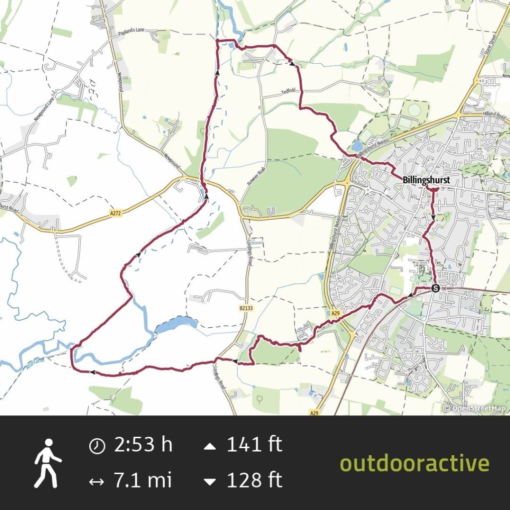
This long post (2500 words) is based on the Billingshurst walking route available in the Ordnance Survey guide to walks in West Sussex and the South Downs.

The difference in my route is that I went by train not by car. It’s always better by train if you can do that. I also took a longer route to the south via Parbrook.

Billingshurst is a growing ‘village’ on the from Victoria to Bognor Regis or Chichester.

The name Billingshurst means a wooded hill of the Billa’s people who were perhaps an extended family rather than a large tribe.

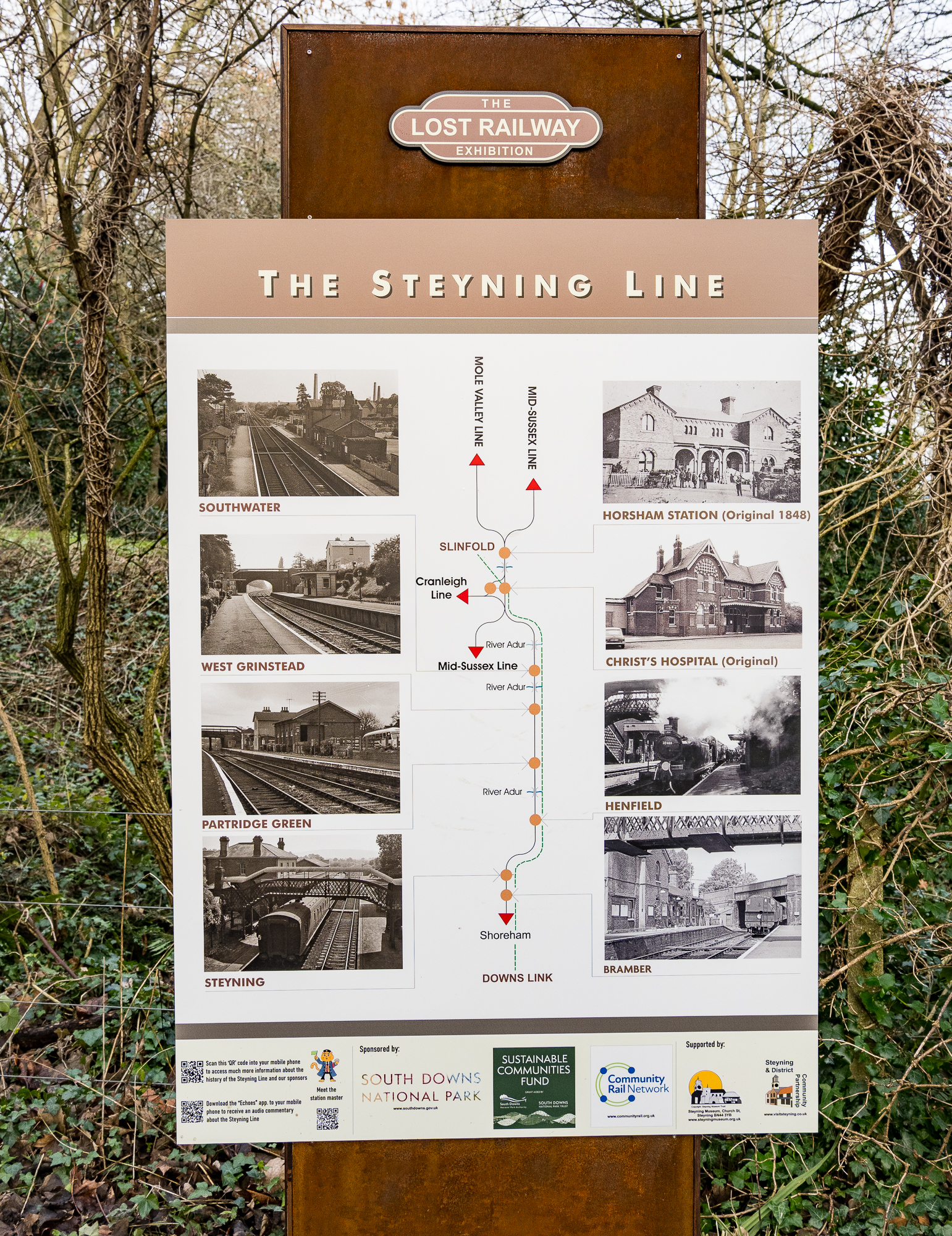
Billingshurst Local History Society

For this post I’ve relied on Geoffrey Lawes’ Billingshurst Heritage (2017) for historical references, which I borrowed from my local West Sussex library.

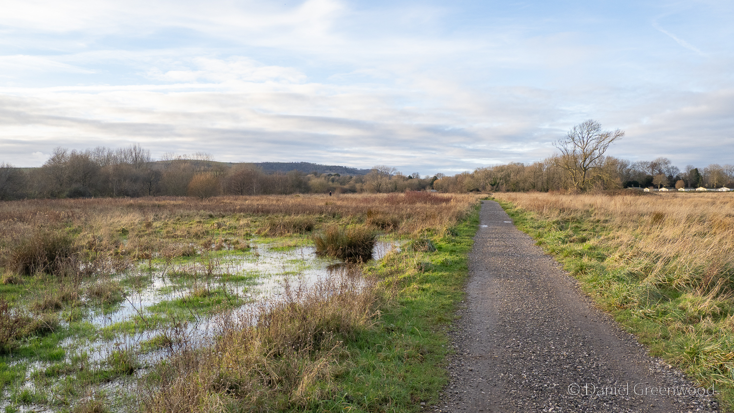
I wouldn’t do the walk after high levels of rain in winter because the Arun is prone to flooding in epic fashion and could make some of the walk impassable, particularly beyond the bridge.

This would be a good one to do in the spring when it’s a bit drier and the birds and woodland flowers are coming to life again.

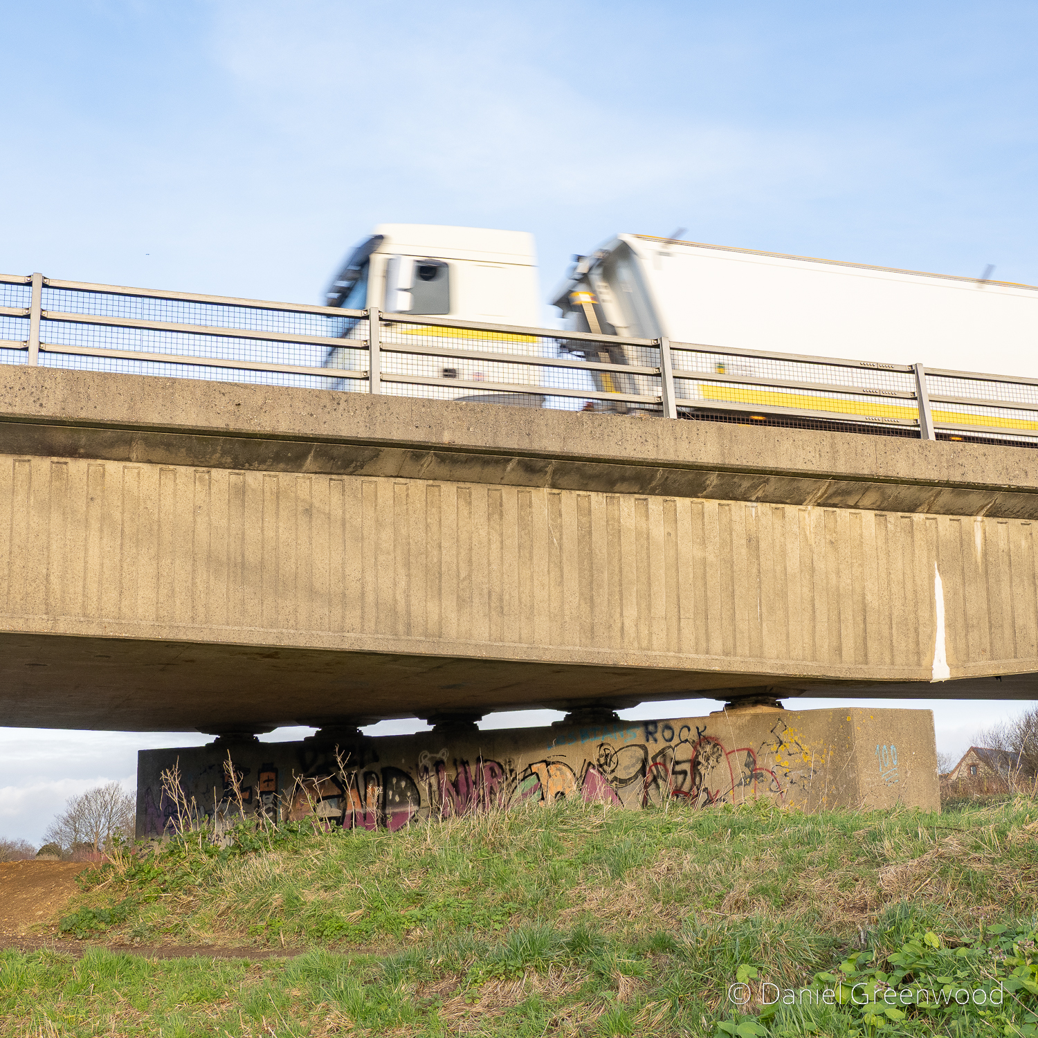
There are some quite dangerous crossings here, so care needs to be taken when you meet the A29 twice, and another country lane that has poor visibility about a quarter of the way in.

Parbrook

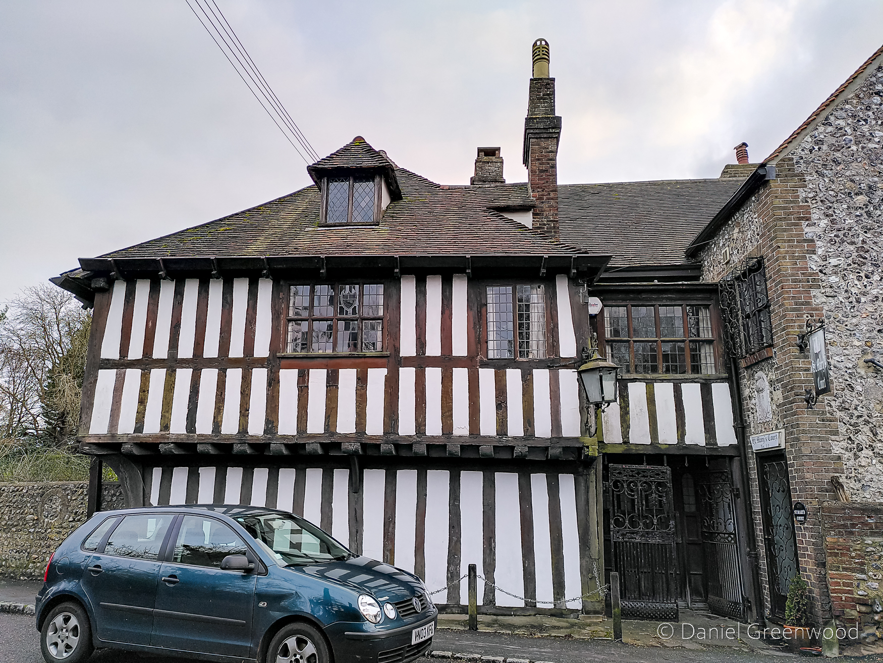
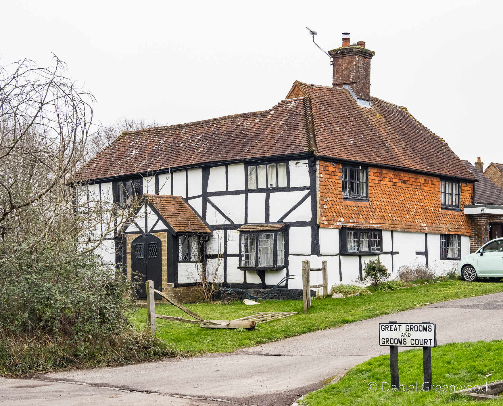
After leaving Billingshurst station you pass through a new housing development to the west of the village, and then the village of Parbrook, which was once separate. There’s an impressive timber-framed building here called Great Grooms, which dates to the 1500s. It’s on the Historic English register as the Jennie Wren Restaurant, as it was recently known.

In Billingshurst’s Heritage there’s an insight into the life of people here around the time of the First World War. Doris Garton describes her childhood in a ‘small, primitive cottage’ in Parbrook, and her father’s life after he returned from the war:

In the 1920s my father did contract to local farms at Parbrook. He would set off at 6:30am with his tools and hay knife strapped on his bicycle. According to the seasons he did hay cutting and tying, harvesting and threshing, thatching and land work, draining, ditching, ploughing with a horse, hedge-cutting and layering of hedges. He was also sometimes hired as a water diviner, using a hazel twig.

Billinghurst’s Heritage: Geoffrey Lawes, 2017: p. 255

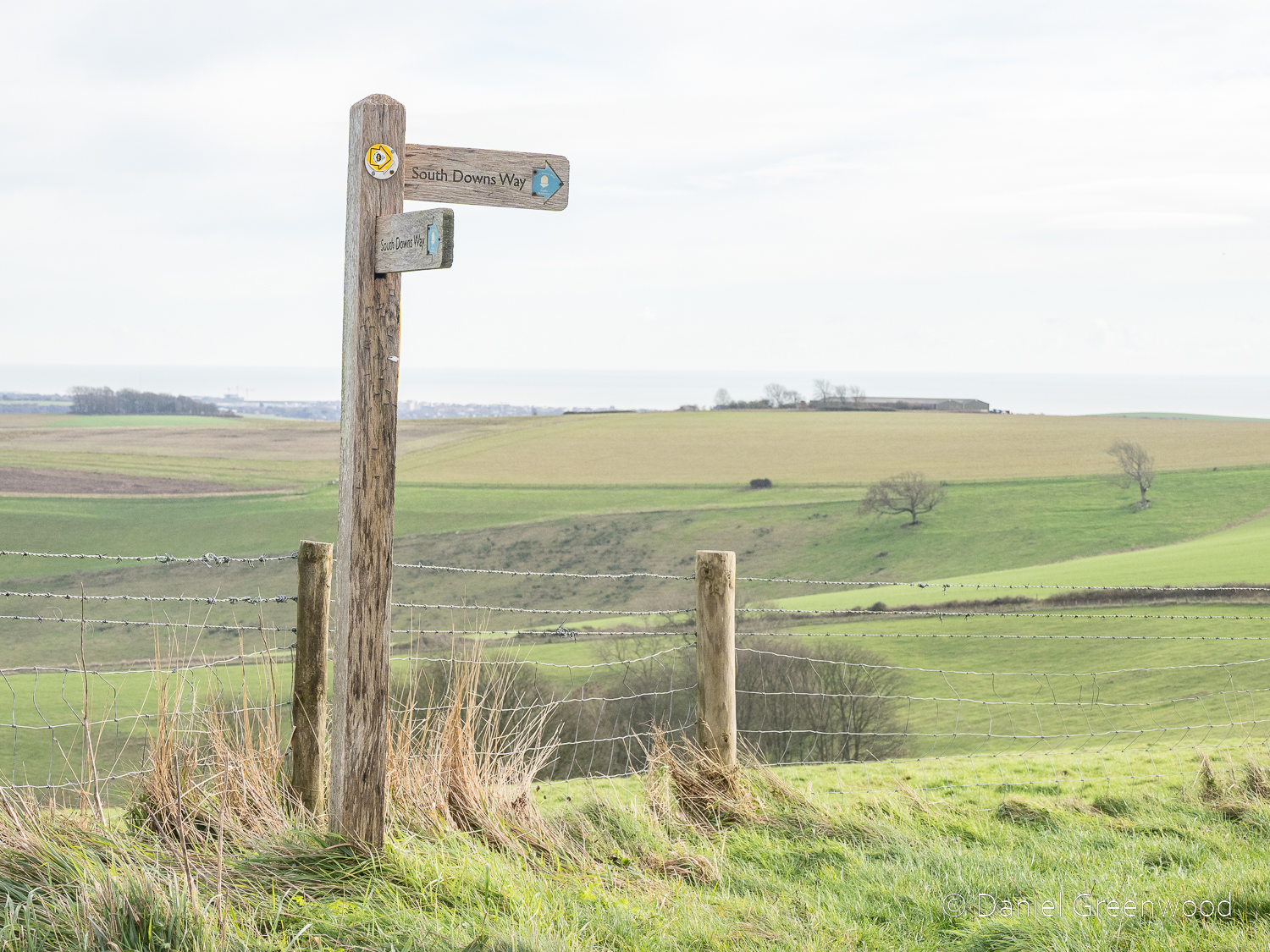
The walk gets serious quite quickly as you cross the A29, which is a diversion from the straight line of Stane Street, a Roman Road that provided a route from London to Chichester. Crossing the A29 gives the immediate reward of this – the sort of place where Doris’s father would have plied his trades in the 1920s:
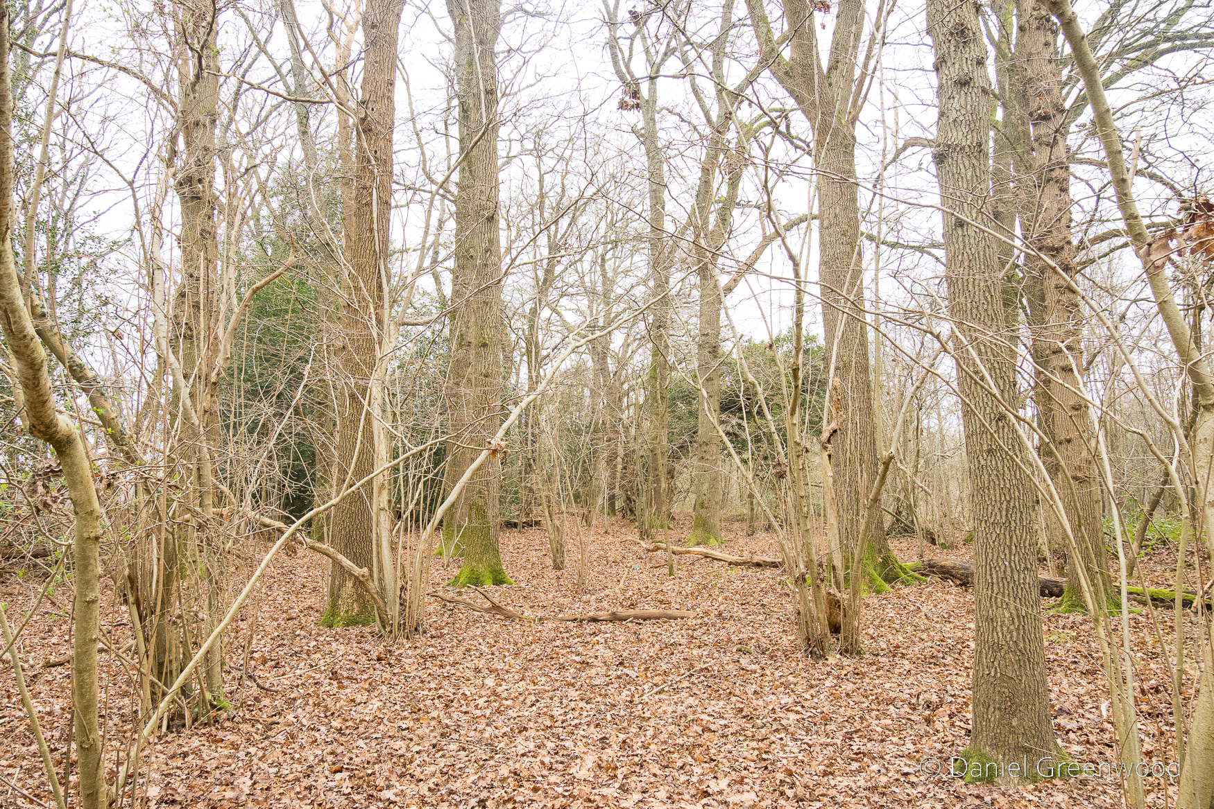
Ancient woodland

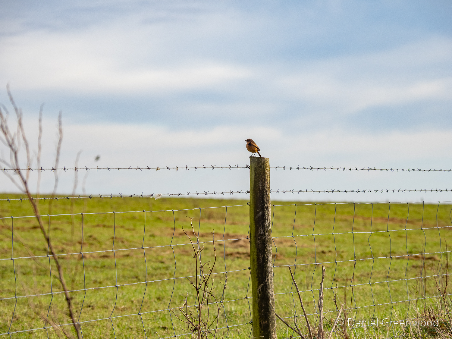
As you probably already know, ancient woodland is a sensitive habitat, so be careful not to trample wildflowers like bluebell and wood anemone in the spring (it’s hard!), and not to disturb ground-nesting birds (March-July). I noticed some bluebells were peeking from the leaf litter, which seems to be fairly normal for January in the last decade.

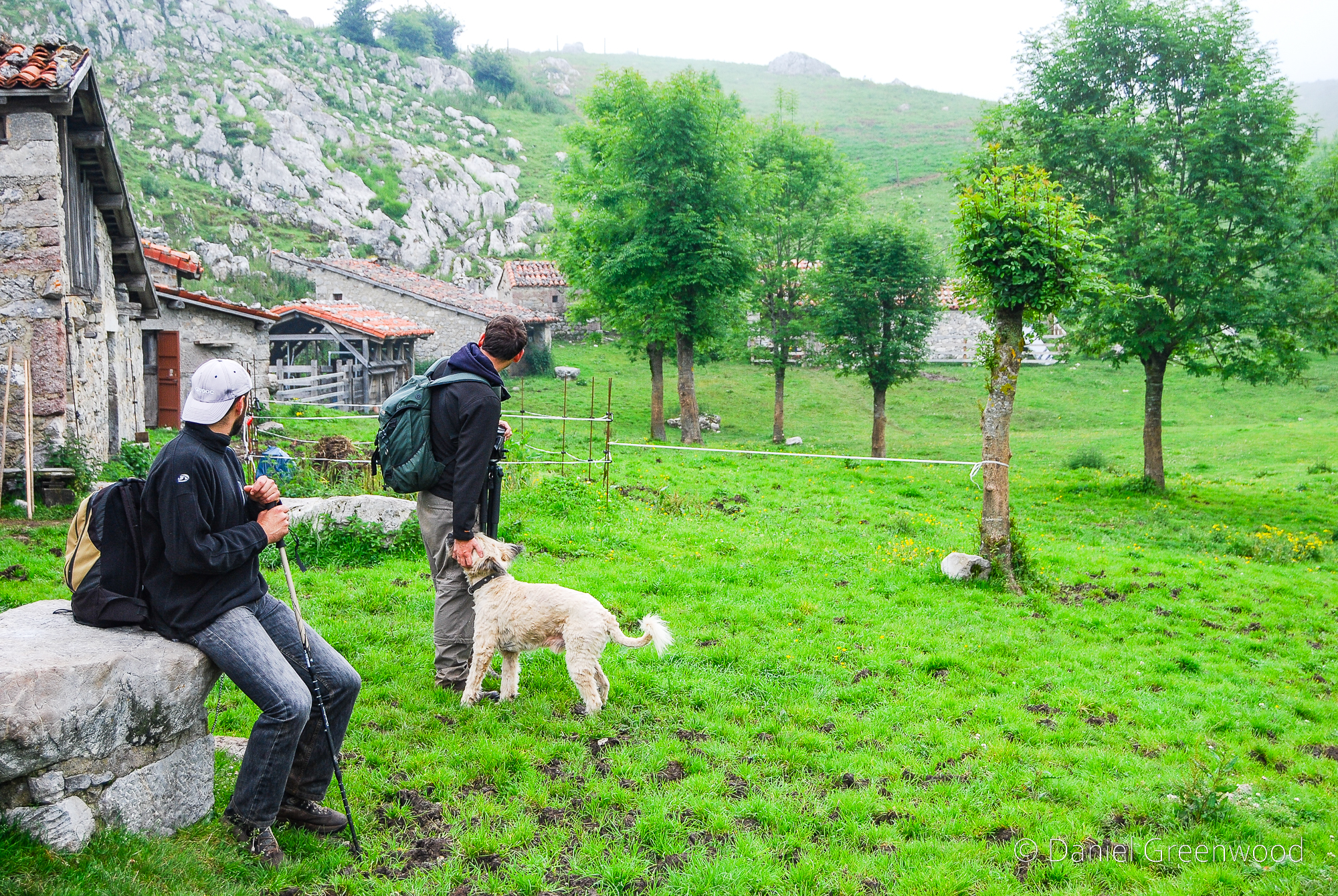
It was here that I spoke to a local woman about the walk I was doing and what the best route was. I’m always looking for tips.

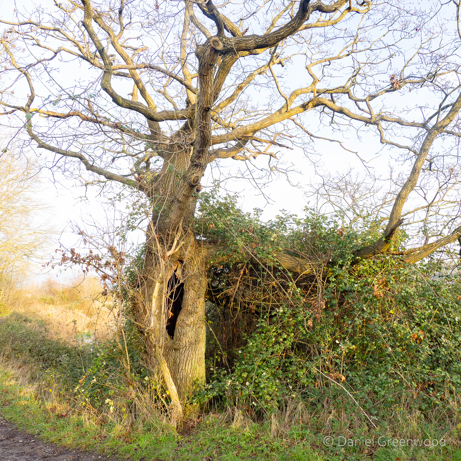
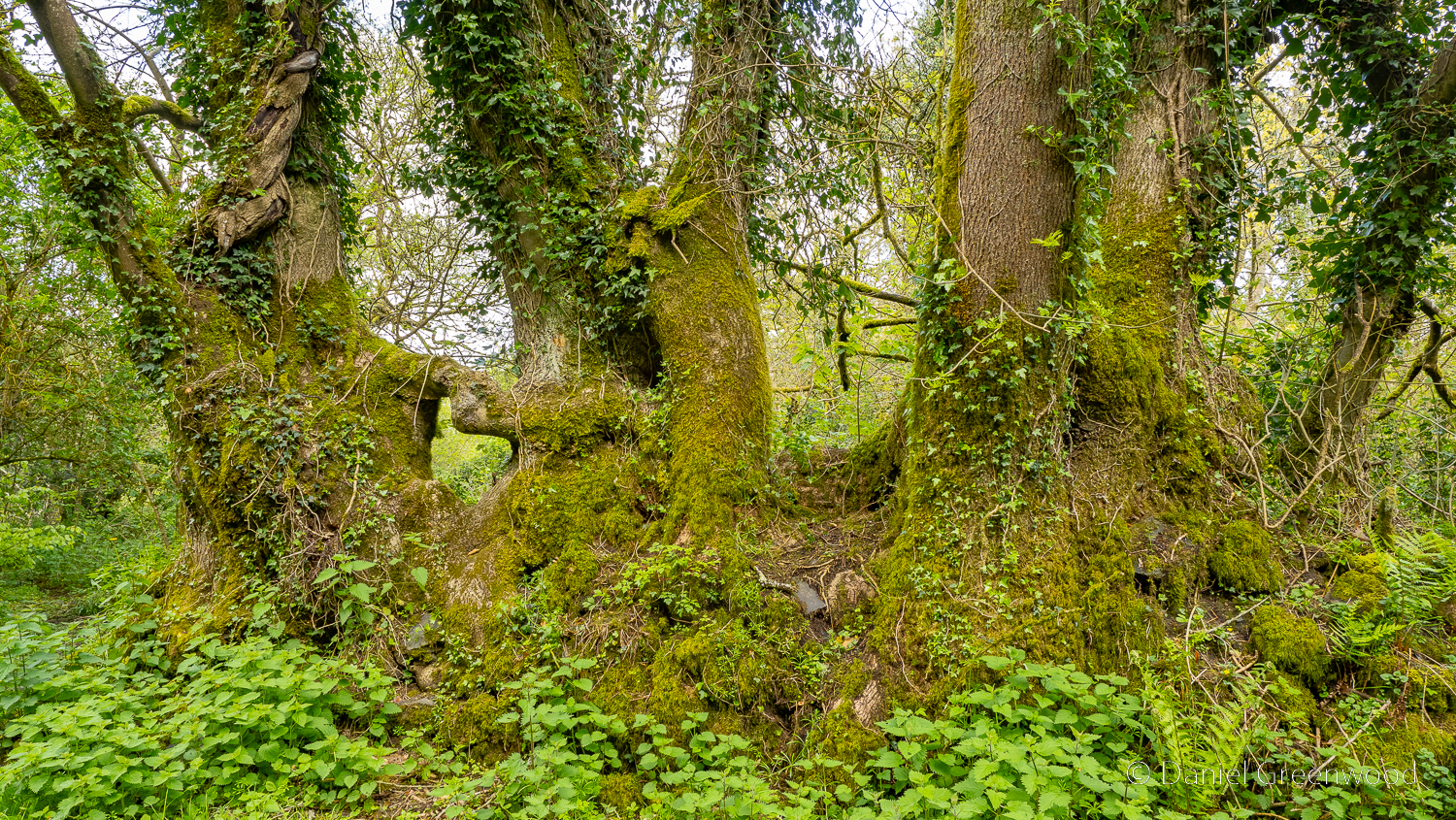
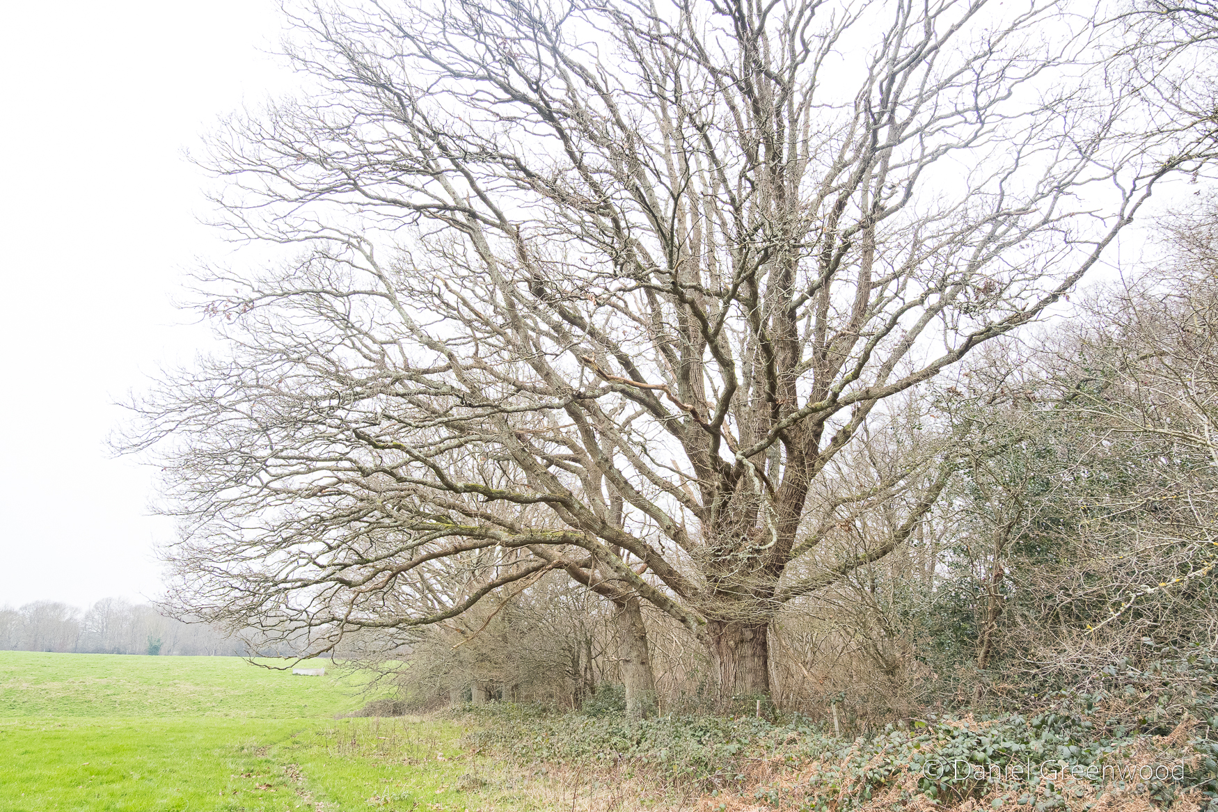
The woods are surrounded by open farmland. The make-up here is typical managed ancient woodland of old – hazel understory with mature oak trees (otherwise known as ‘coppice with standards’). Mr. Garton’s bread and butter.

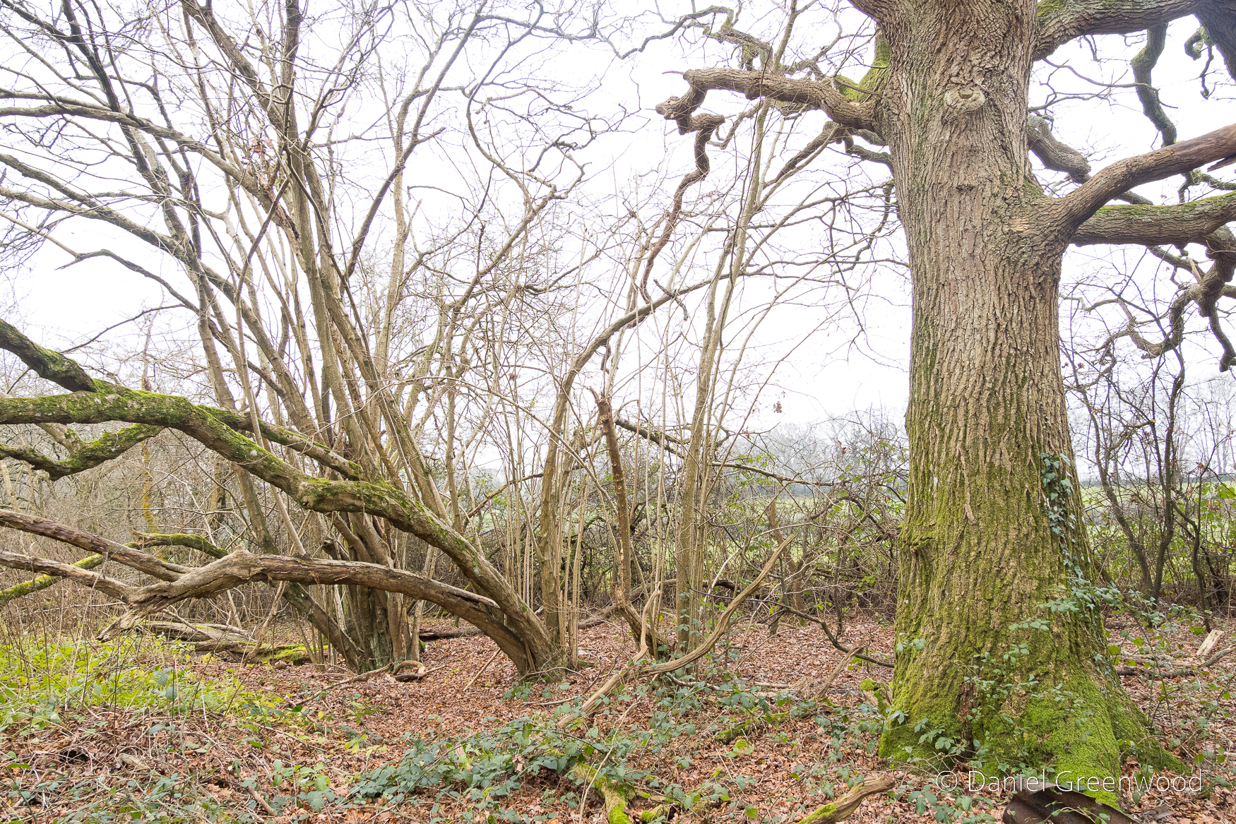
Holly is another element of this prehistoric mix. This isn’t meant to sound patronising but I think that sometimes too much holly can be removed from woodlands by well-meaning people who want to reduce shade for flowers to thrive. I understanding the motivation, but holly’s powers are subtle.

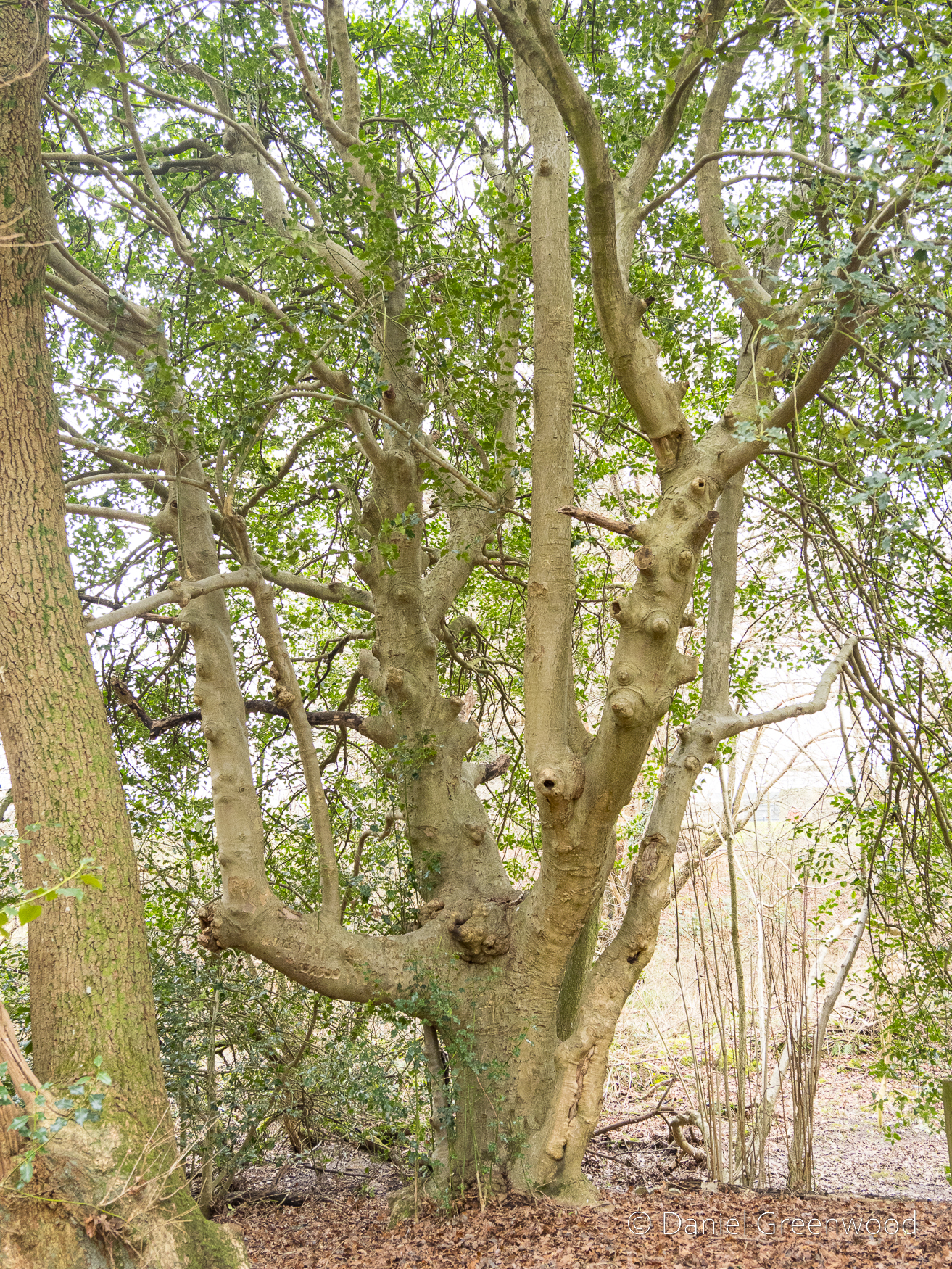
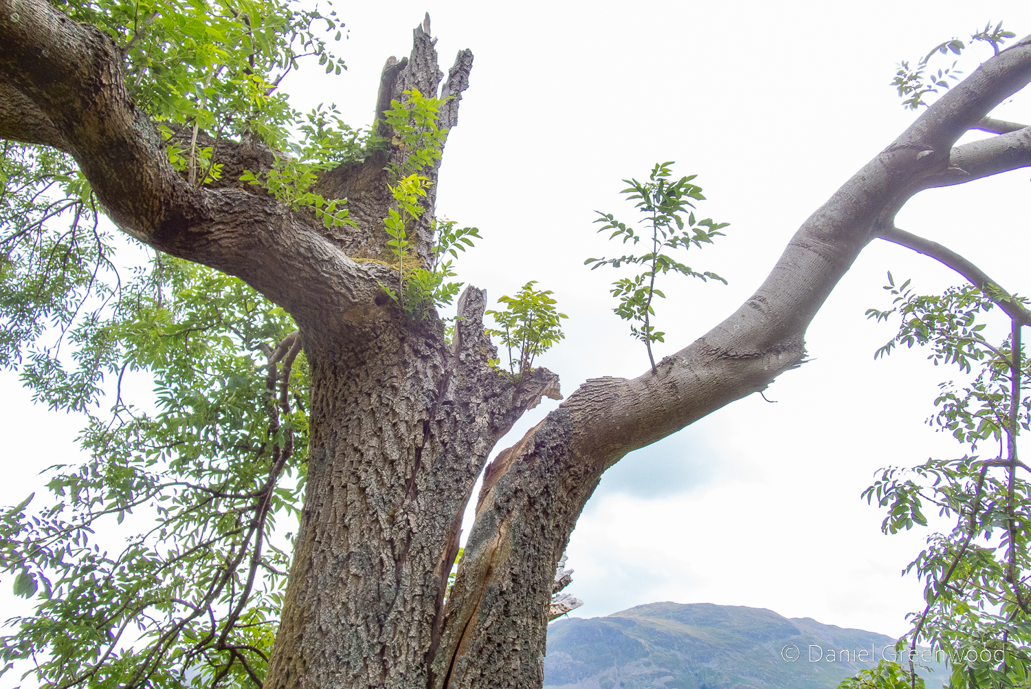
Speaking of which, this magnificent holly was growing on one of the wood banks. I think it’s one of the largest I’ve ever encountered, probably around 200-300 years old, but I’m not sure.

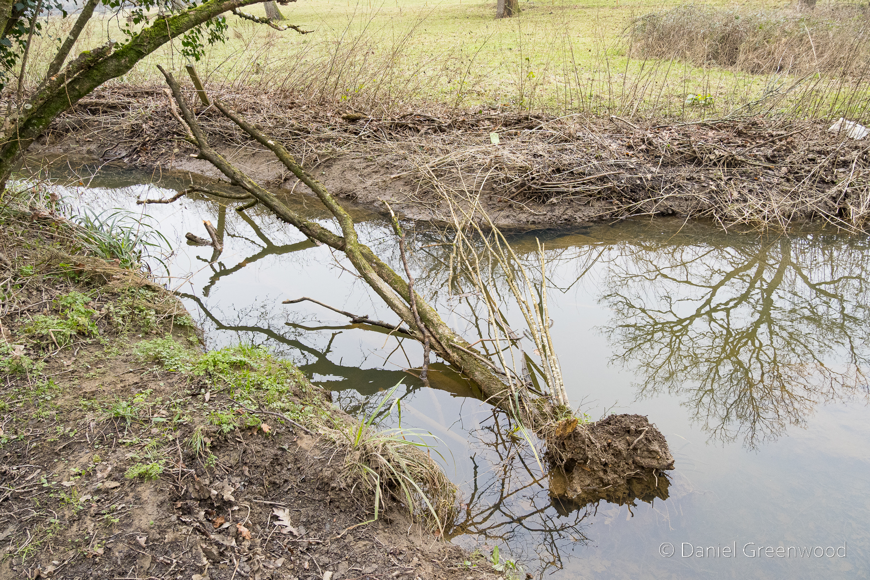
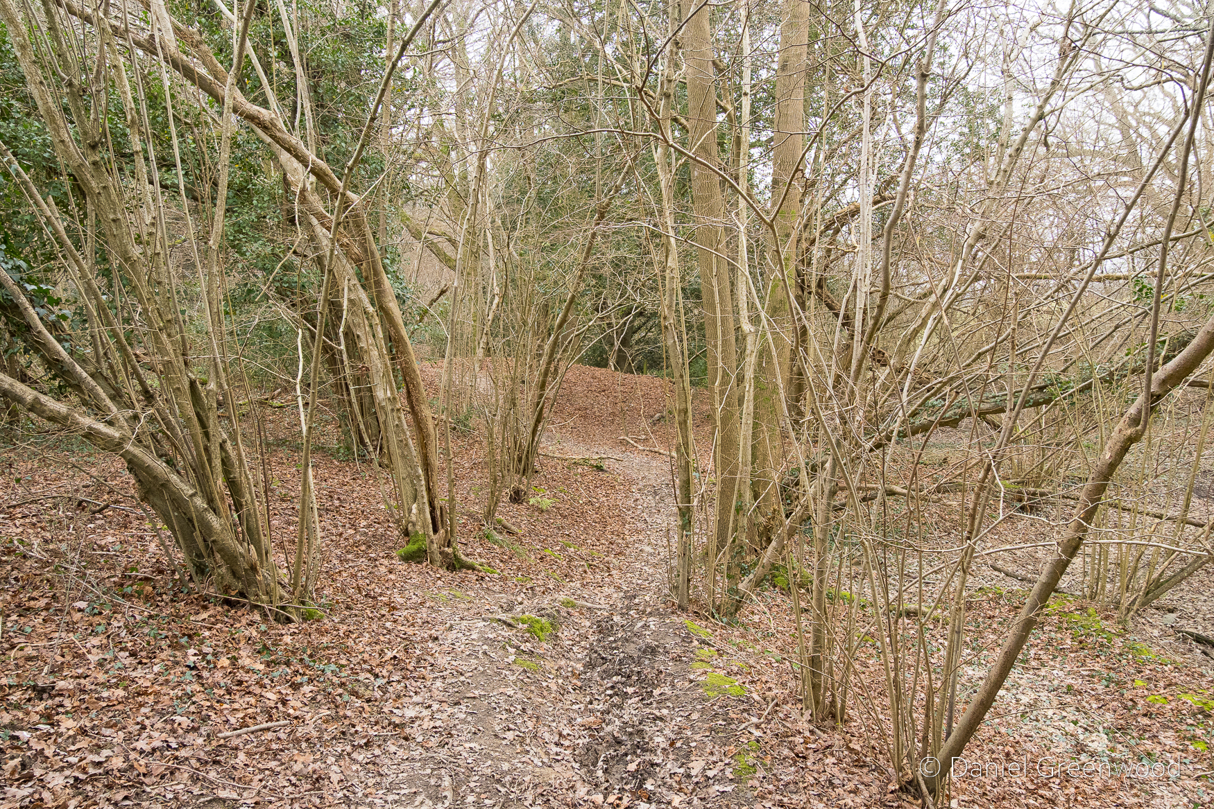
I got a bit lost here and ended up following a desire-line (an informal path) along the edge of this stream, as you can see on the map above. The erosion of the bank (possibly by people and pets entering it) may have contributed to this hazel losing its footing and falling in. It does look quite dead.

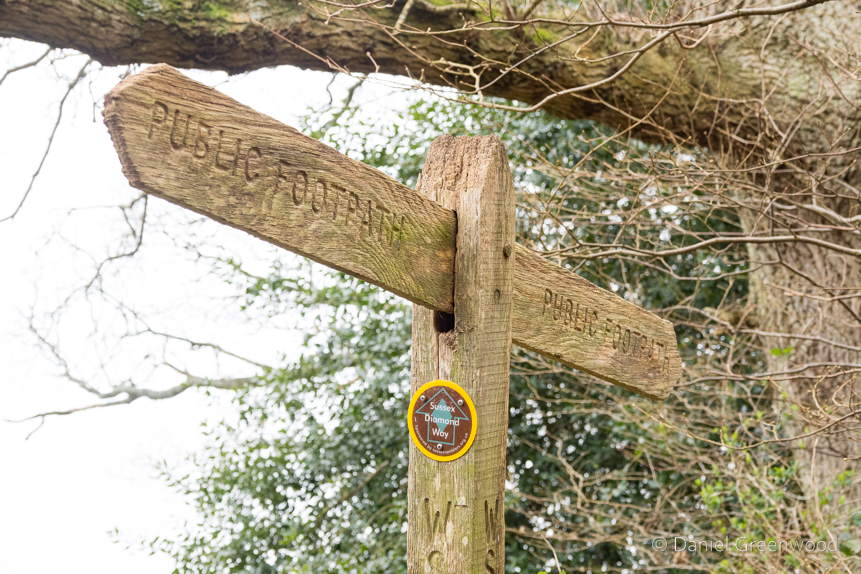
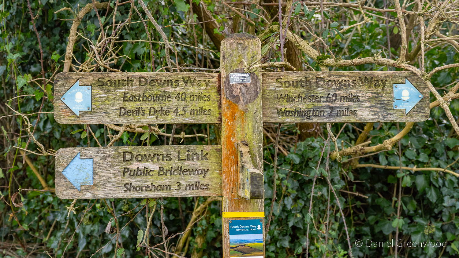
This was my first time on the Sussex Diamond Way!

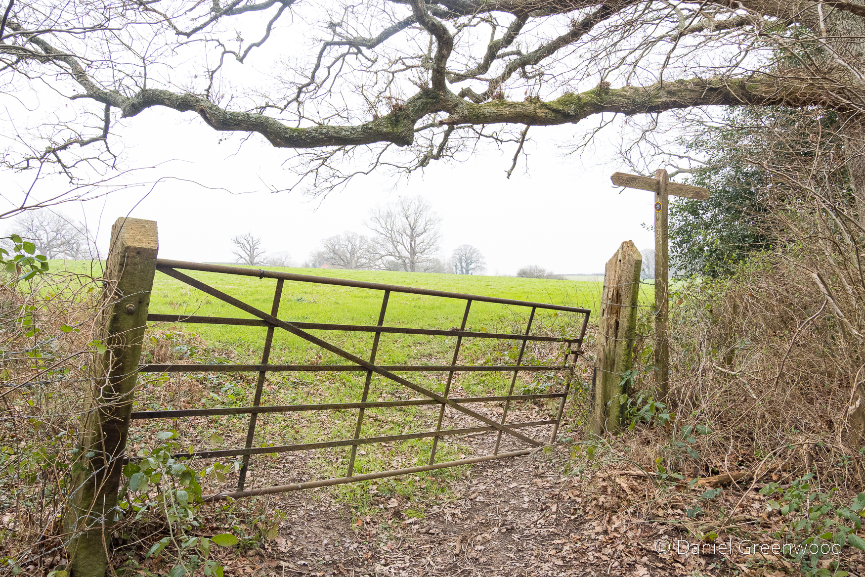
Having found the path again, I passed through this lopsided gate into the field.

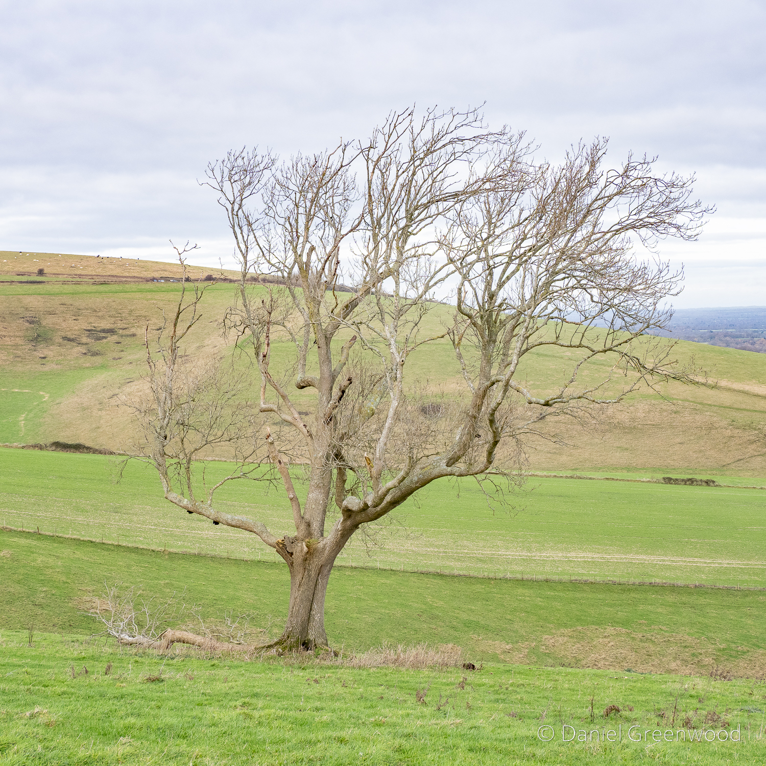
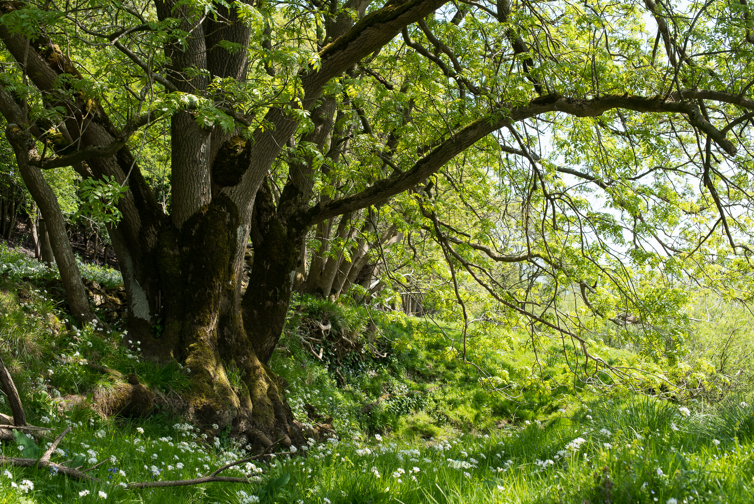
There were some lovely large oaks along the boundary of field and woodland.

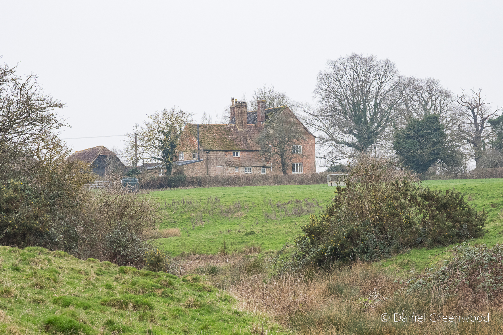
This is The Lordings, a Grade II-listed farmhouse dating to the 1600s (Historic England listing). With its uneven development and attached Sussex barn on the left-hand side, I had wondered how old it was. The windows of the house are in different places and rather small, which did suggest old age. The ditch in the image is part of a stream and pond. The landscape was lovely here, formed by the movement of water over time, which makes me think that’s a natural spring-fed watercourse. Little Lordings Wood sits nearby, and once upon a time woodland will have covered this entire area. ‘Lordings’ appears throughout this walk but I can’t find any more information about the significance of the name.

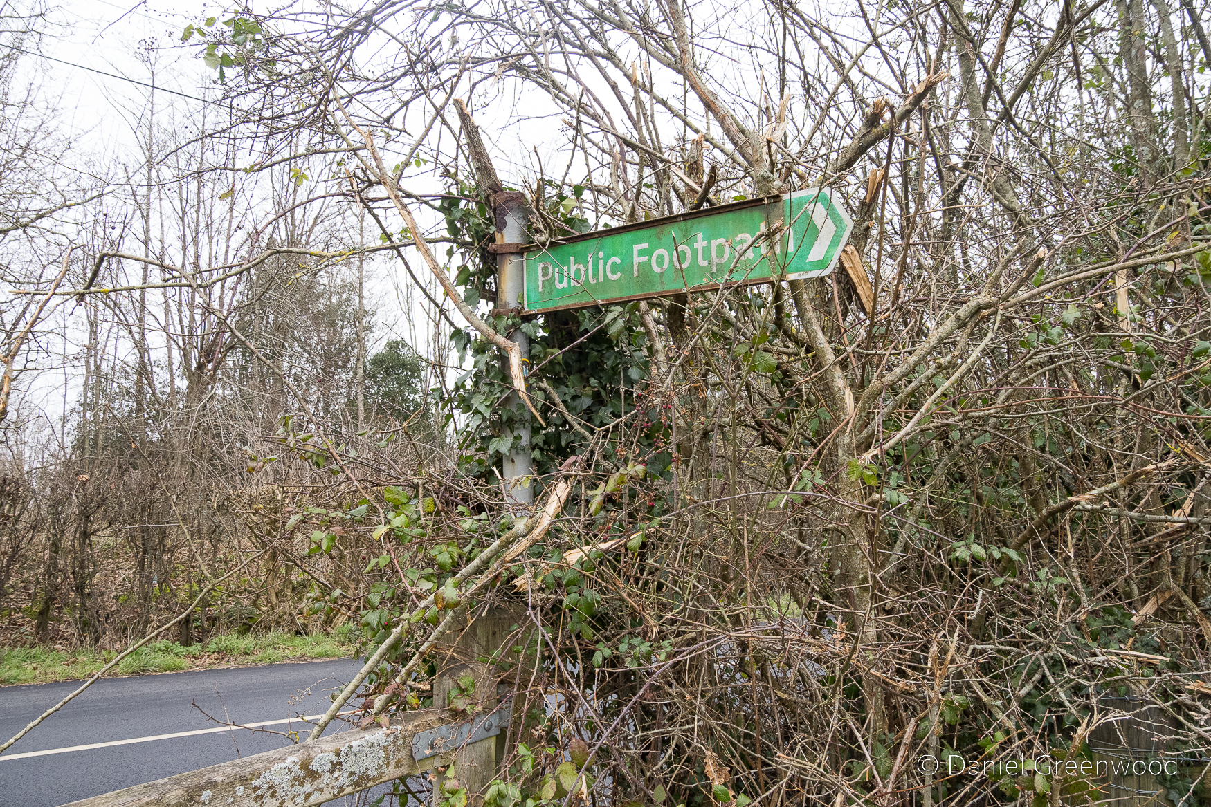
Now came one of the most dangerous crossings I’ve encountered during my 15 years of rambling (with my legs). The gate opens right out onto a road where the speed limit is 60mph, and you have no way of seeing what’s coming round the corner, or it seeing you. Having a hi-vis is useful in this kind of situation. Reader, I made it.

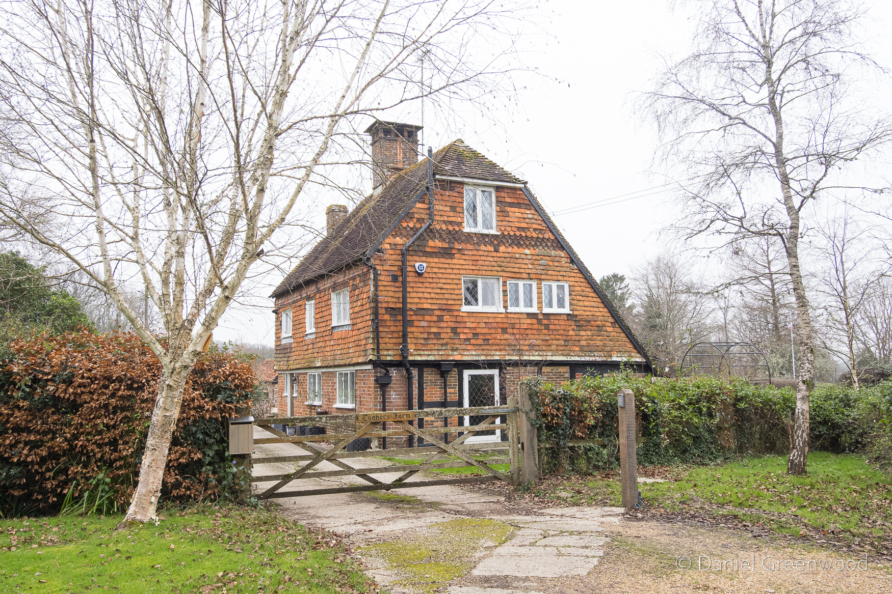
There are a number of old farm houses dotted around this walk. This is Tanners Farm, which ties in nicely with the oaks. Tanning is the job of removing moisture from animal hides in the process of producing leather. Soaking the hides in with oak bark releases the tannins from the bark and helps to waterproof the resulting leather.

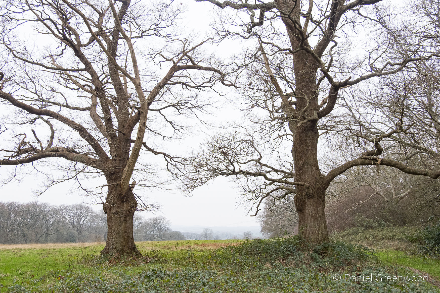
It had the feel of an ancient agricultural landscape, with oak a core part of its progress over time.

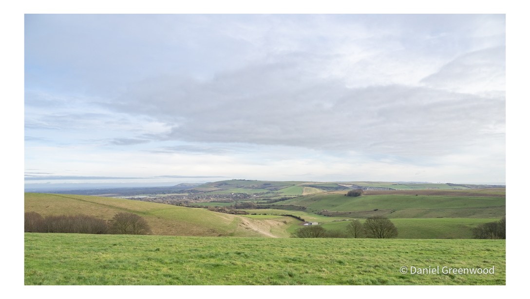
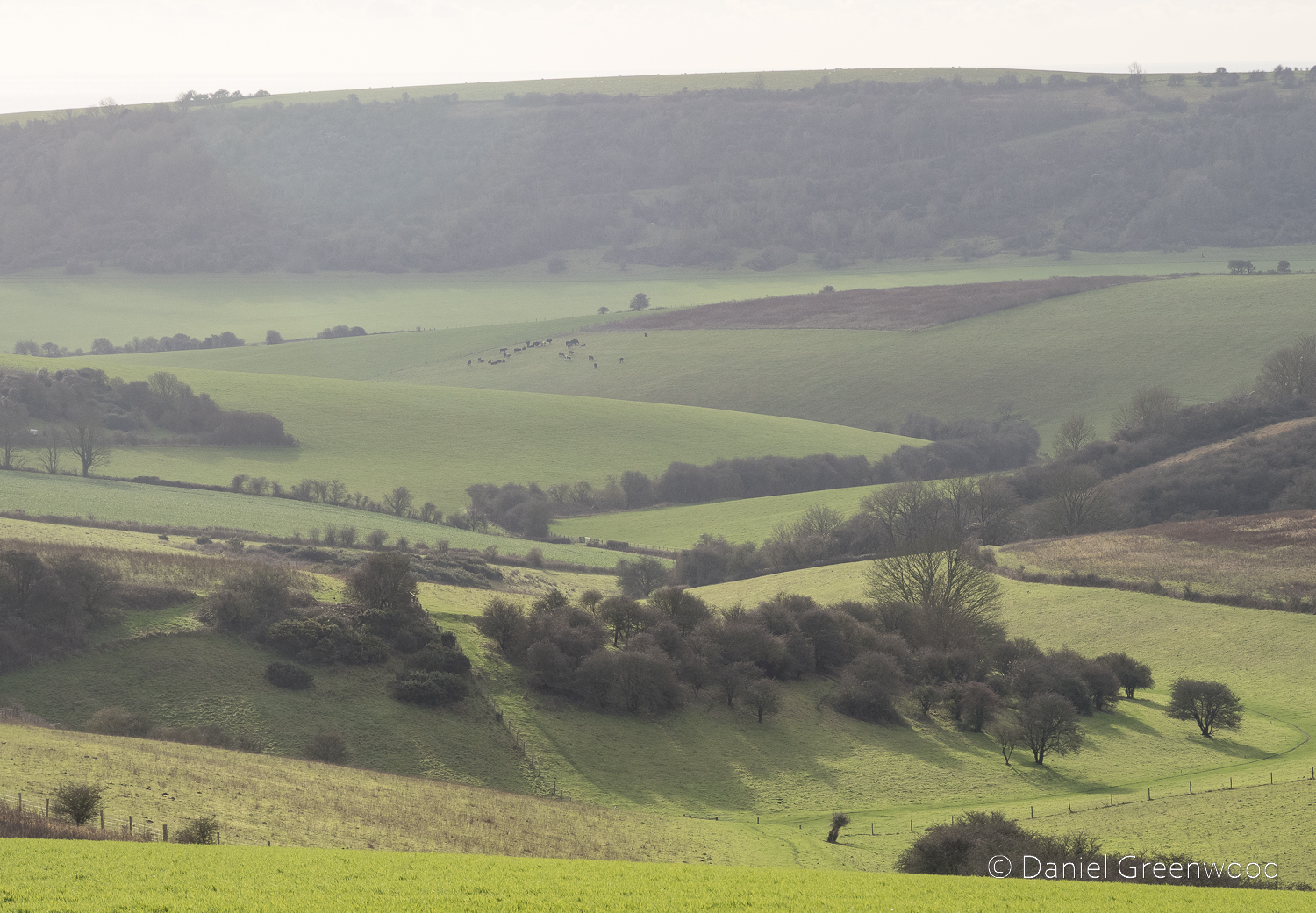
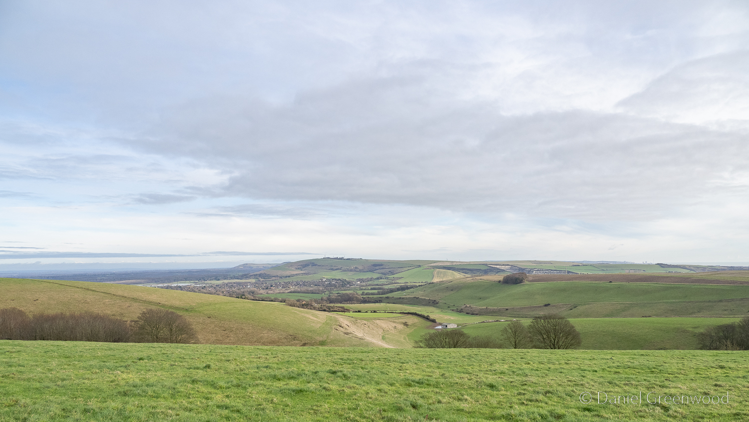
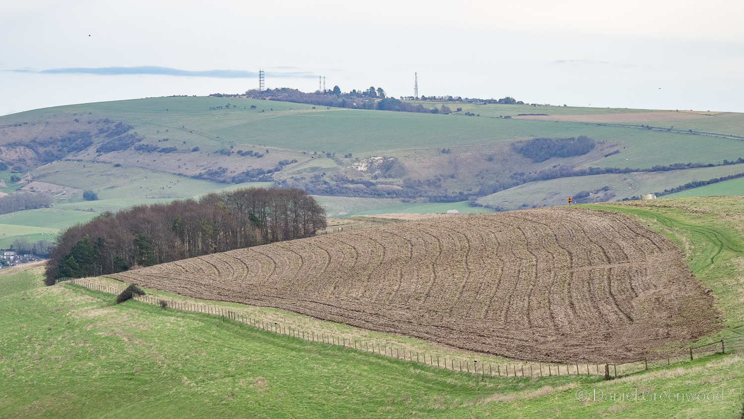
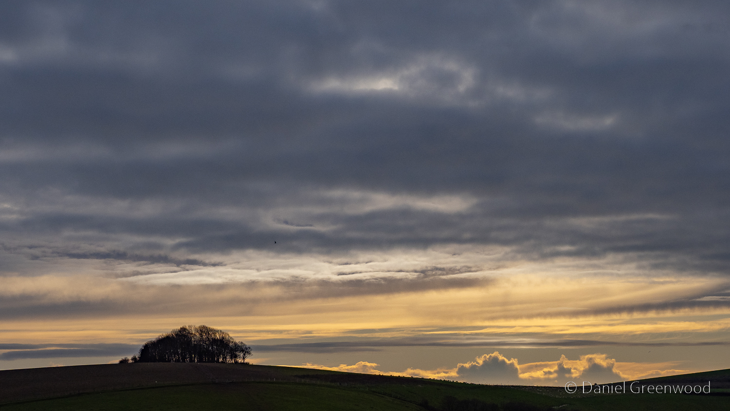
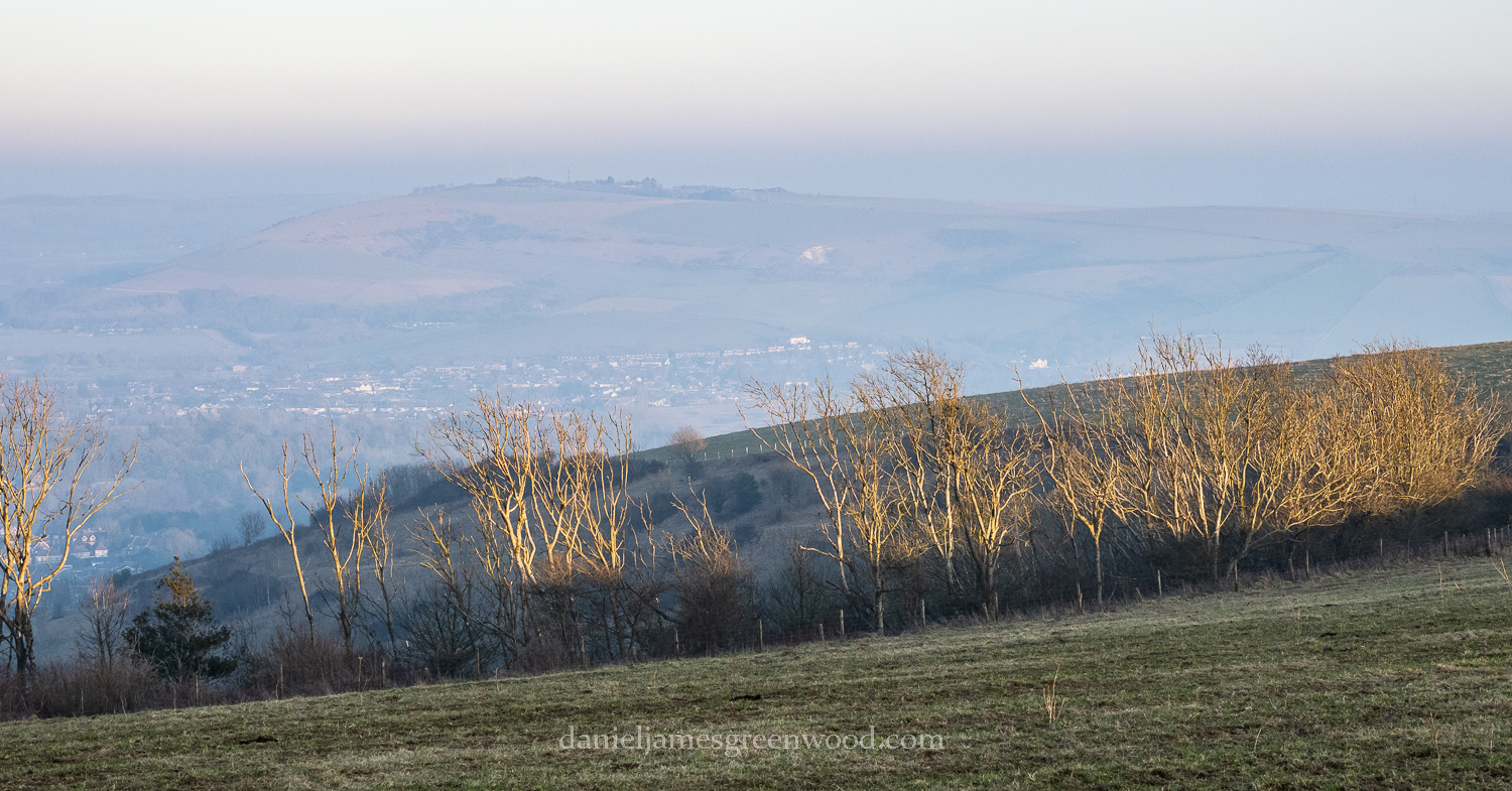
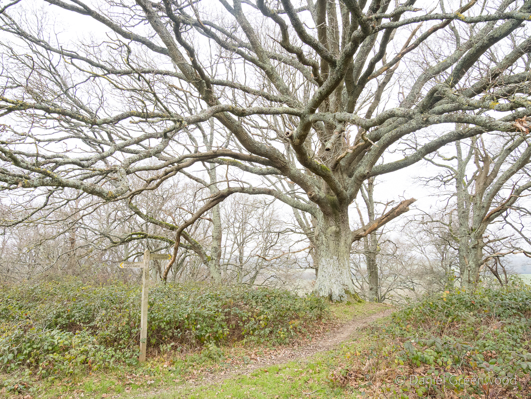
The Tanners Farm section, passing beyond two large oaks, provides the best views of the entire walk. It was misty when I was there, so the views of the Downs weren’t complete. The drama is still felt, and is a reminder that one of the nicest things about walking in the Low Weald are the views of that majestic chalk whaleback.

This enticing path into oak woodland was not to be taken on this occasion.

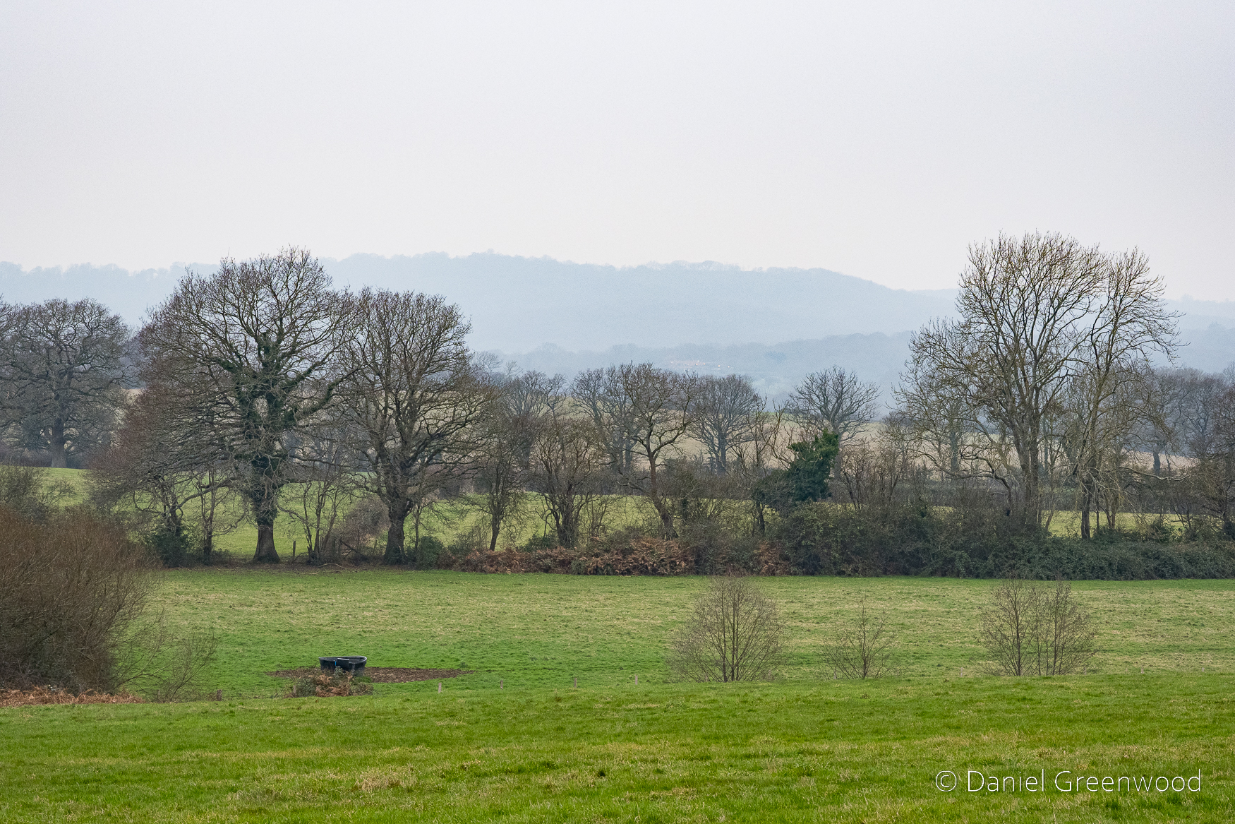
The misty view south, with the Downs not quite making it into the scene. Another one for a spring or summer day.

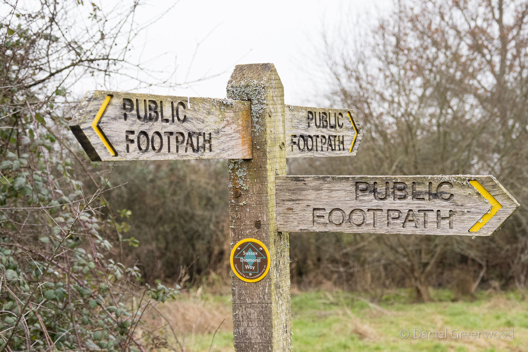
So much choice. It was time to leave the Sussex Diamond Way and join the Wey-South Path.

The Wey & Arun Canal

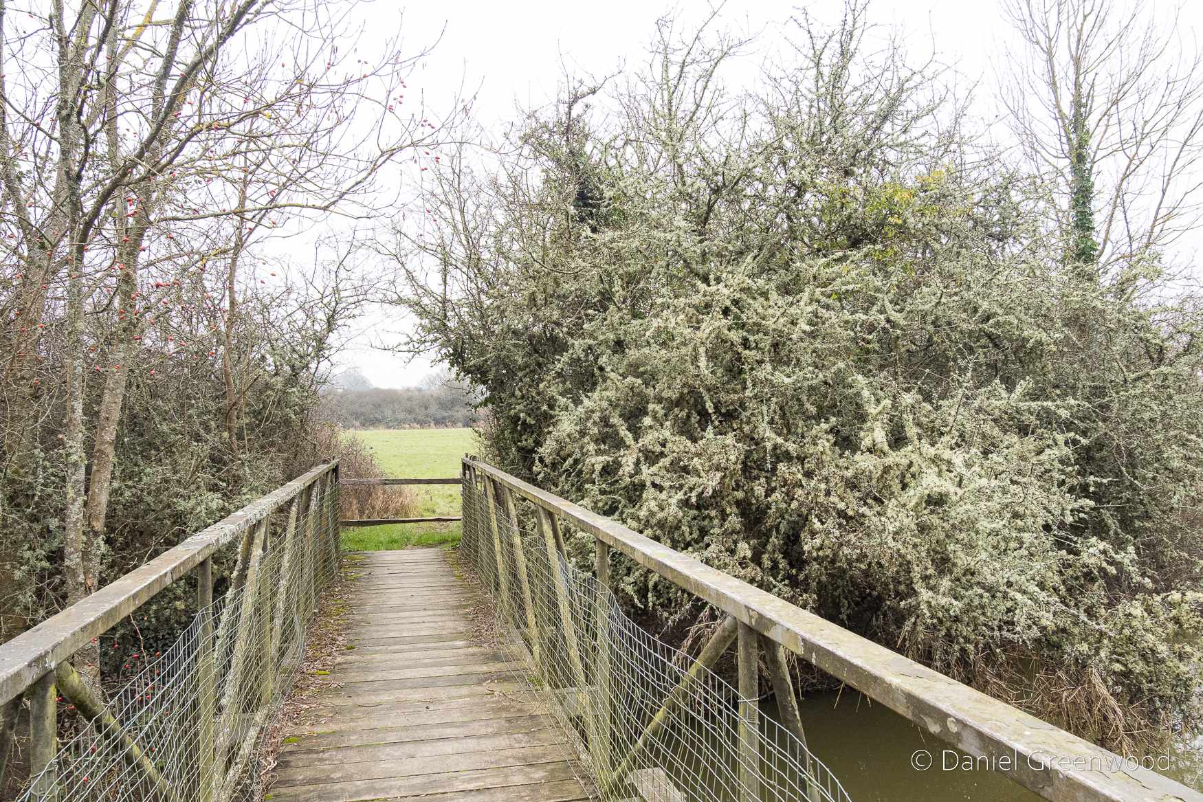
January is too early for blackthorn, though that is changing with the march of climate change. This froth of white is actually lichen hanging over the Wey & Arun Canal.

The canal was constructed after plans were brought to Parliament all the way back in 1641 to ‘link the upper reaches of the River Wey to those of the Arun by a canal between Cranleigh and Dunsfold’:

[I]n 1785 The Arun Navigation Act was passed and the section between Pallingham and Newbridge opened two years later.

Billinghurst’s Heritage: Geoffrey Lawes, 2017, p.174

The canal began to transfer goods in 1816 when the Wey & Arun Junction Canal opened. So it took the best part of 200 years for the canal to be built (sounds like HS2). The Industrial Revolution of the 1790s changed the world in that time, but the impacts only really began to be felt a couple of decades after the 1820s when the canal was in full operation. It closed in 1888 – two centuries of planning, sixty years of action.

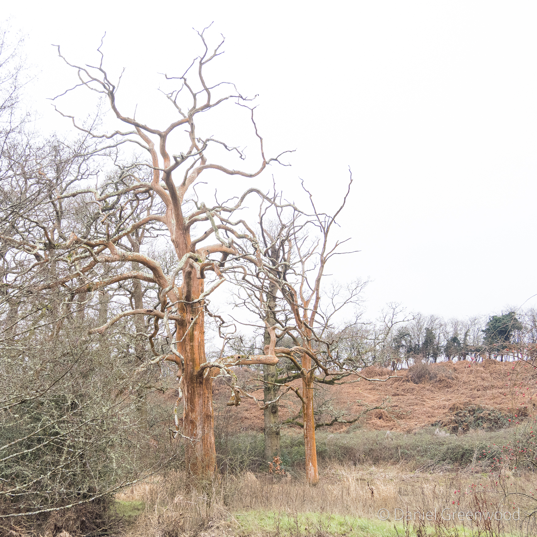
I passed these dead oak trees covered in an orange algae (I presume). I expect oak would have been one of the resources transported up and down the canal. The oak woodlands around Billingshurst, which covered a far greater area then, would have been felled, debarked and planked, their produce taken upstream to the Thames’ shipyards, or south to the Solent in Hampshire where international trade could have taken place. My understanding of the specifics is limited, so I’m generalising a bit, but Lawes States that most trade ‘was from London, mainly coal and groceries, porter beer and pottery’ (Lawes, p. 176). Lawes also confirms that the canal gave access to Littlehampton, Portsmouth, Chichester and Arundel via other water-links that could connect with the Wey & Arun Canal.

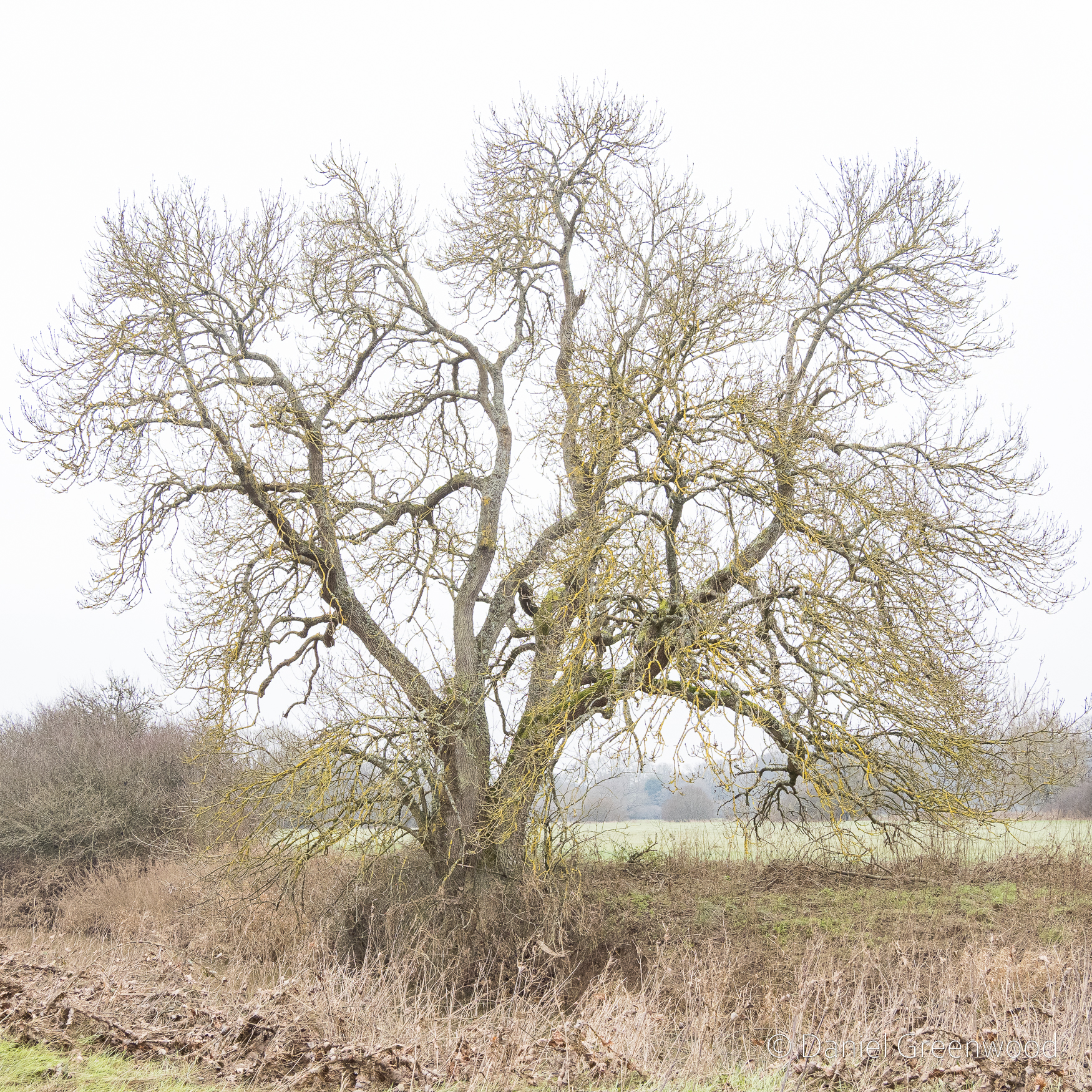
Ash trees would have been useful also, particularly for tool handles. One way to identify a distant ash tree in wet winter weather is the yellow glow on the outermost branches. These are xanthoria or sunburst lichens which of course thrive in wet weather. I would say this was a significant ash tree, and possibly had been pollarded, due to the branching taking place so low down on the trunk.

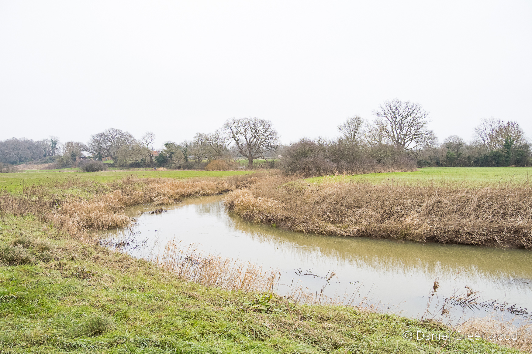
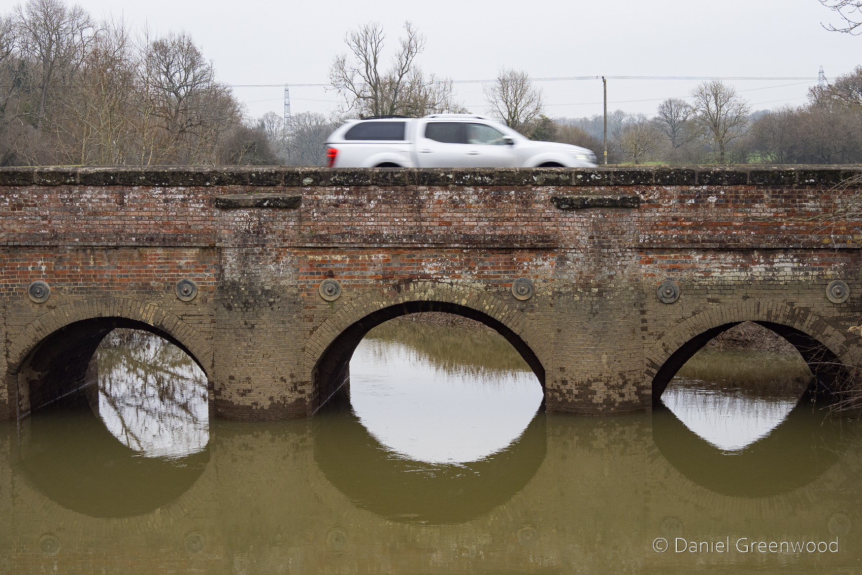
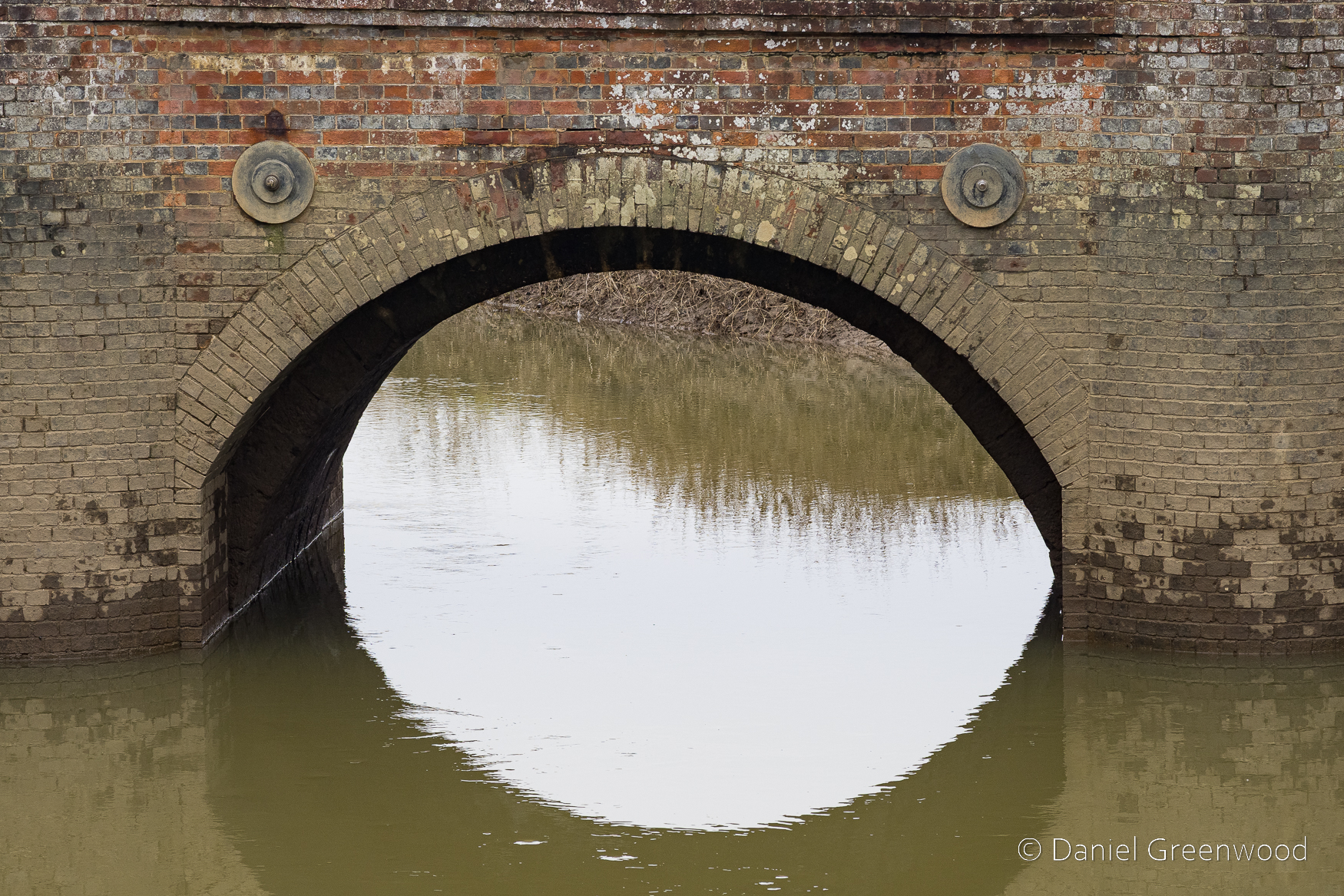
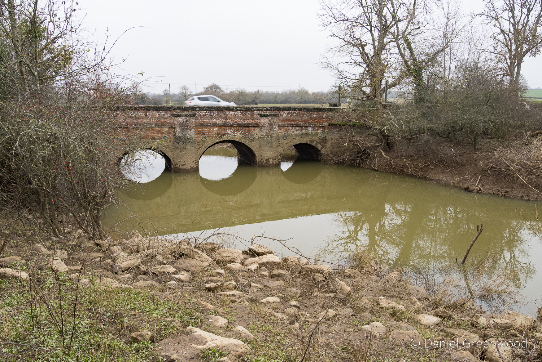
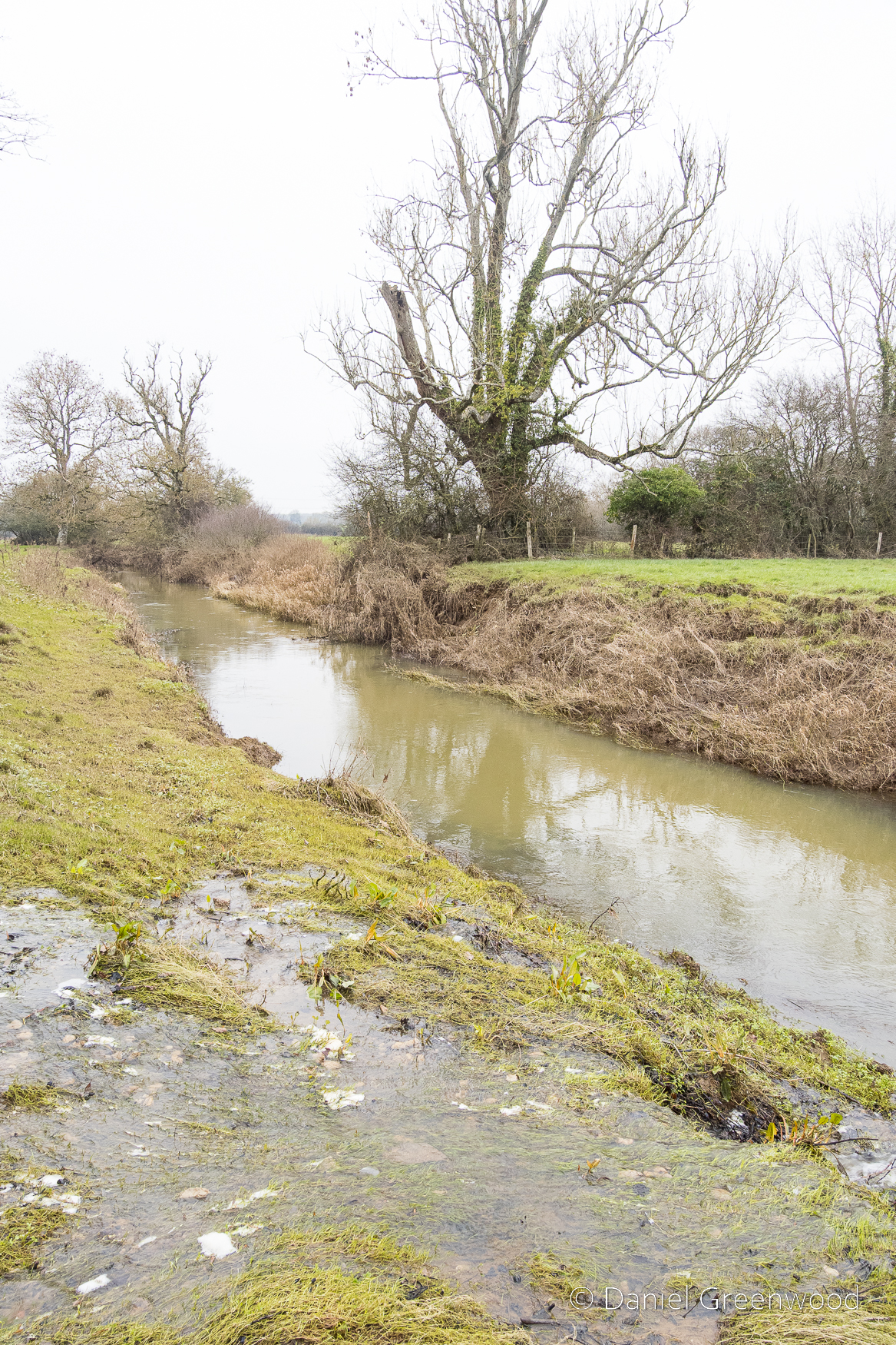
The Arun mocks the canal with its swooping bends as it takes its wild course through the outskirts of Billingshurst. The walk along this stretch was a sloshy trudge for a good while (wellies are advisable). It would be nicer in spring or summer, as all good walking guides will tell you.

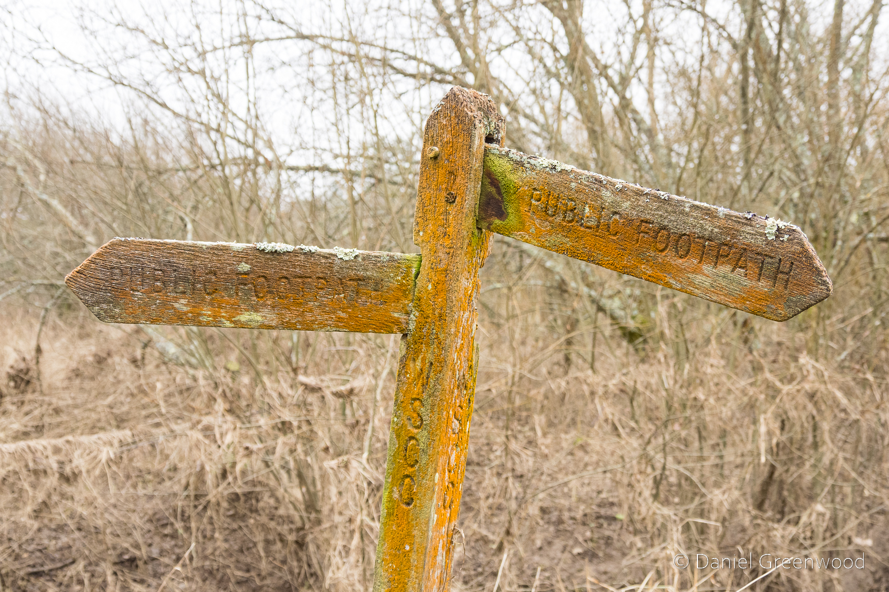
The damp atmosphere around the river and canal meant the fingerposts have become home to algae, moss and lichen.

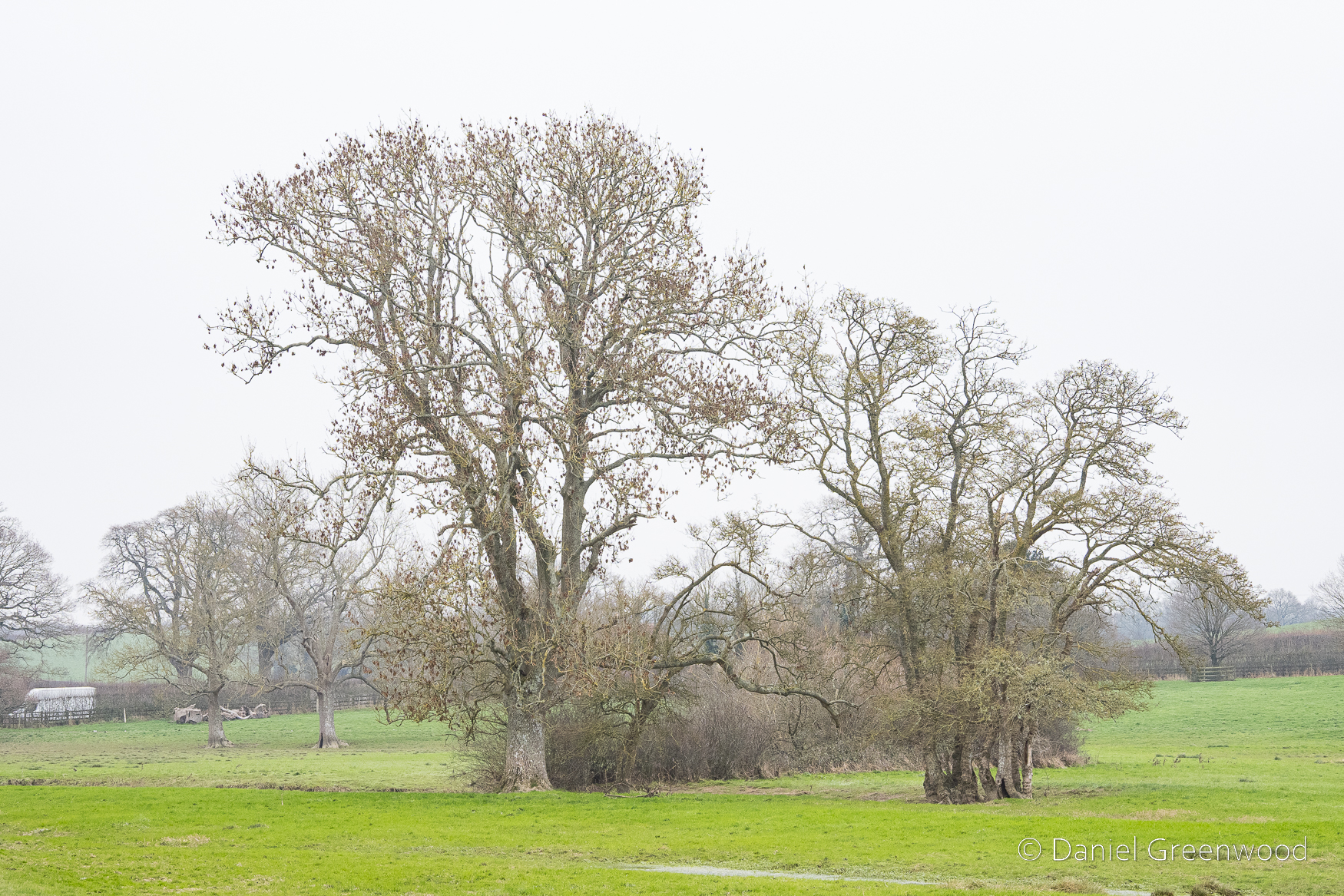
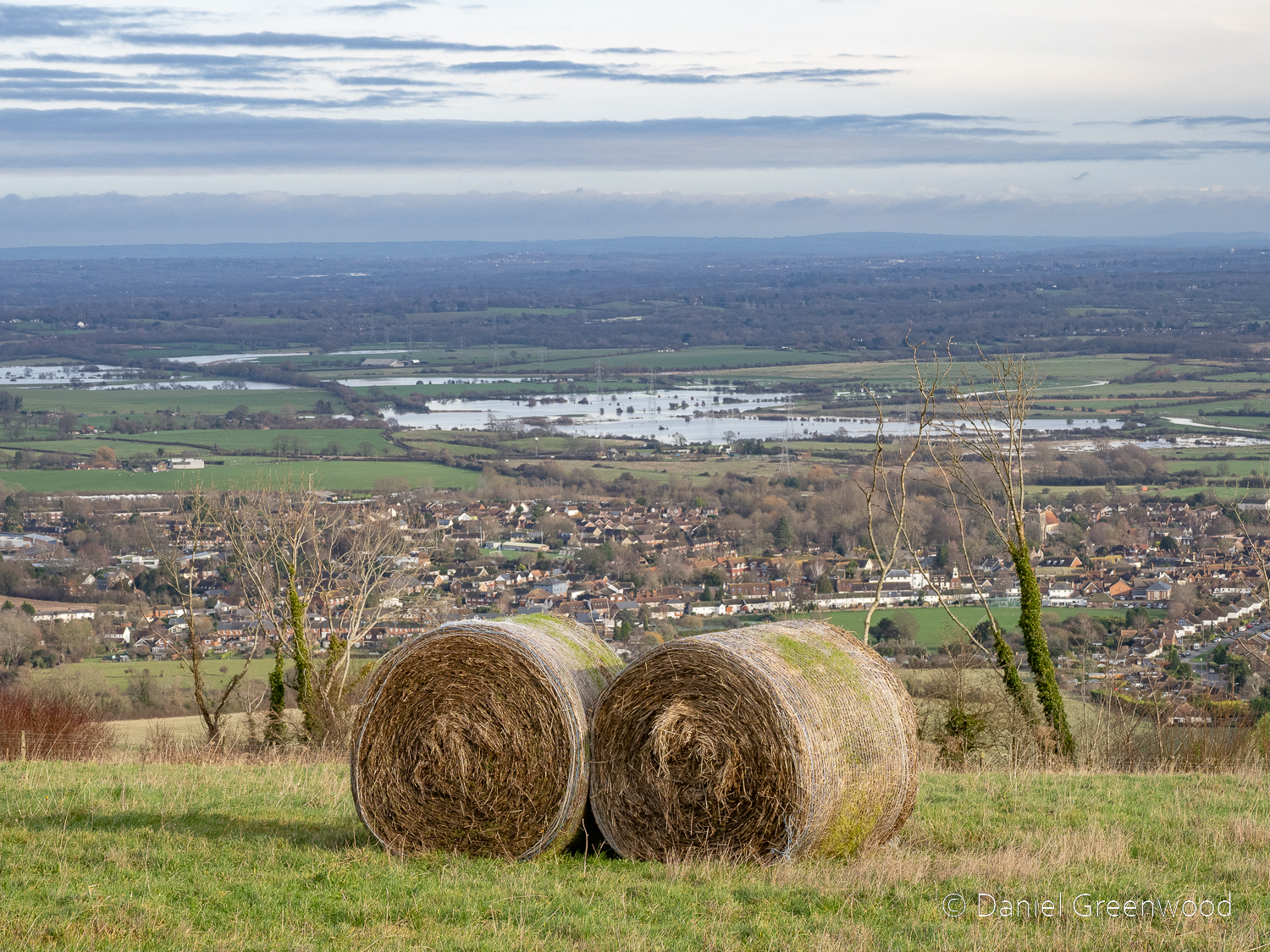
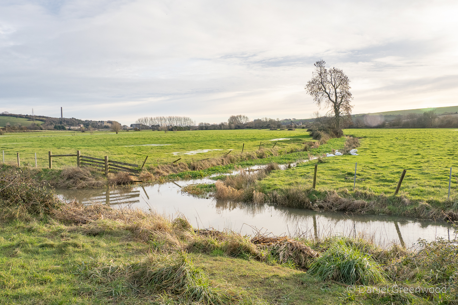
This is a large ash tree with what looks like an old hedgeline queueing behind it. To the right-hand side is what seems to be an alder, a tree that thrives in wet conditions. You can see a vehicle passing on the far left-hand side of the screen. The view of this field completely underwater during twilight is one of the more memorable scenes I can recall from travelling to Midhurst on the A272 over the years.

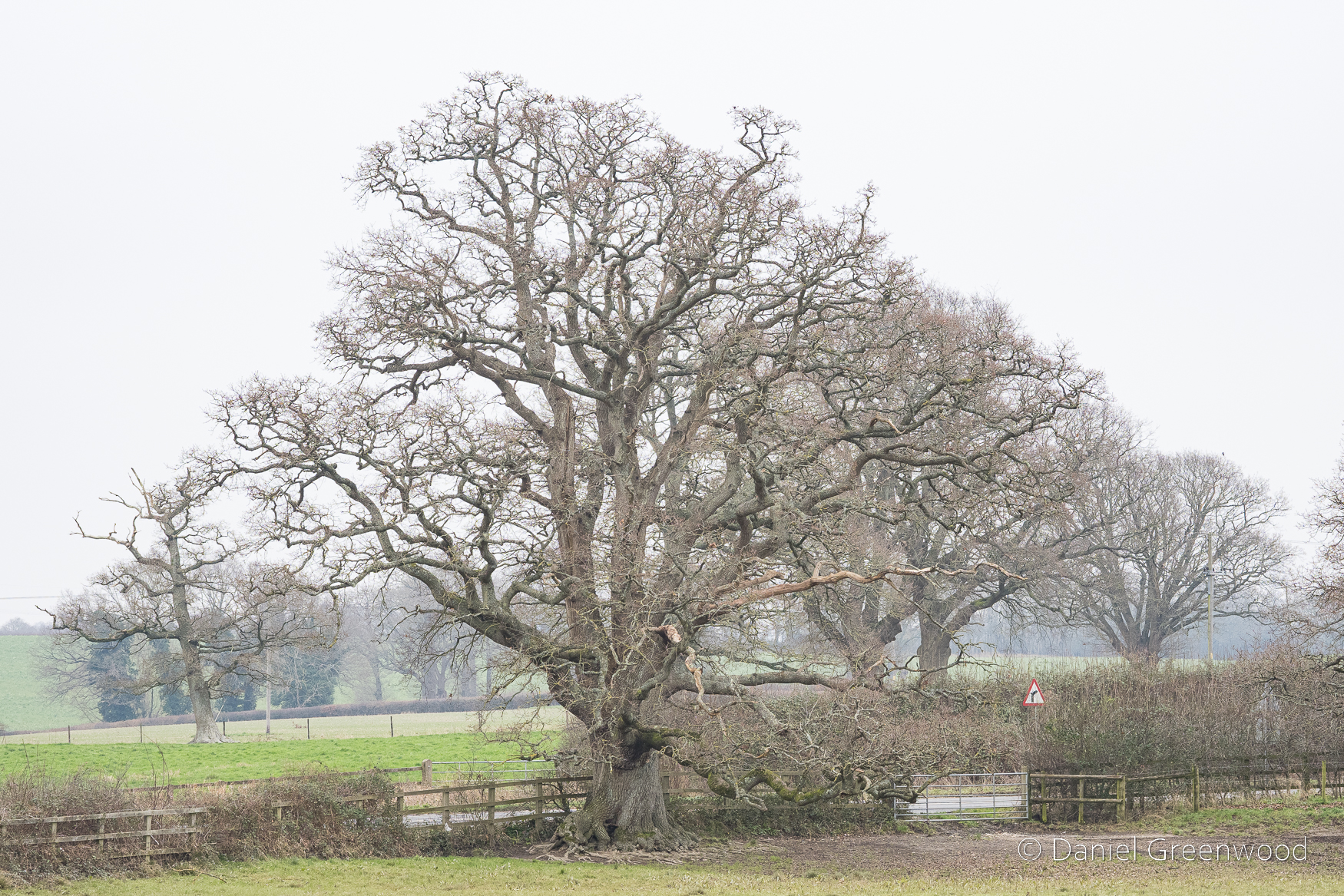
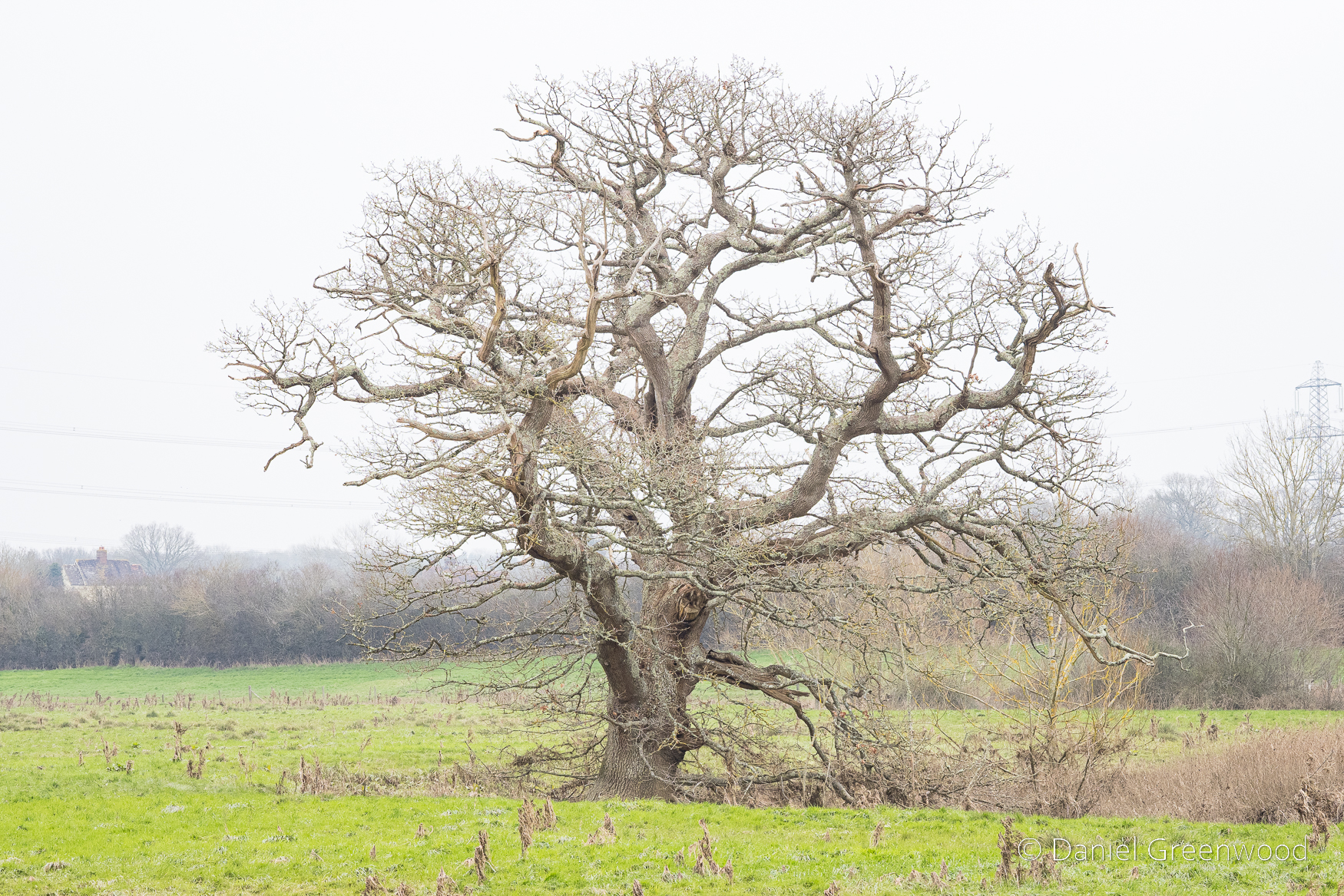
I passed this massive oak (it looks smaller in this image than it is in real life) several days a week between 2018 and 2022. The mud underneath is from the cattle standing there to shelter from the rain. The oak is probably around 400 years old, making this stretch of the Wey-South Path around Billingshurst a land of giants.

New Bridge only allows one car at a time, but I’d never seen the three frogs under the bridge until I did this walk.

This frog looked particularly surprised to see me.

In Billinghurst’s Heritage there’s a passage from a canal tourist in 1869 – J. B. Dashwood. He travelled along the Wey & Arun Canal one spring or summer from the Thames to the Solent. There’s a description of what our man J. B. saw with his travelling partner somewhere along this stretch. Quoted below.

At a little before 7 o’clock we reached Newbridge where our boat lay quietly at her moorings, wet with the morning bath of dew…[at the first lock] we watched the lock-keeper’s wife and two pretty daughters making butter in the early morning. Though flat the meadows on either side presented such a lovely English picture with cattle dotted about, …the larks sang aloft sending forth their melodious morning song and the banks of the Canal clothed with wild flowers of every hue and colour that we enjoyed this part of our journey almost as much as any.

Lawes, 2017, p.175

I wonder if these are the water meadows being described. While searching online for more information about New Bridge I discovered plans for housing affecting the area you can see in this image on the left-hand side (northern side) of the road. There’s a beautiful timber-framed house and barn called Hole Cottage (Historic England listing), dating to the 1500s. It wouldn’t be affected directly by the housing, the arable fields out of view towards the ‘village’ would be.

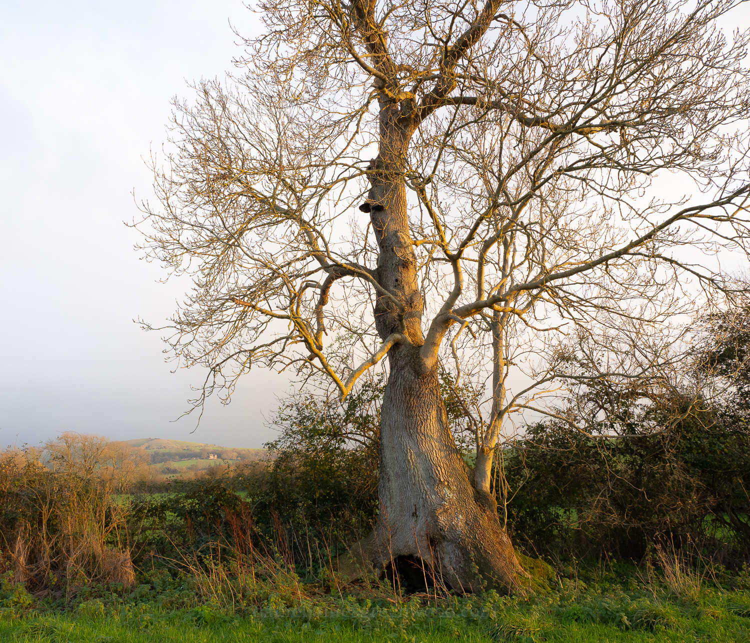
The proposal is called Newbridge Park (there’s a consultation online which closed in January). This area would become a country park, which is wise. Driving along the A272, the sight of the Arun flooding these meadows is a sight to behold. No one would seriously suggest building along this floodplain (would they?), particularly with the sort of winter deluges we’re getting now in this part of England. This is a rather old oak, perhaps 200 years, sitting at one of the bends in the Arun, which is just below the ground level.

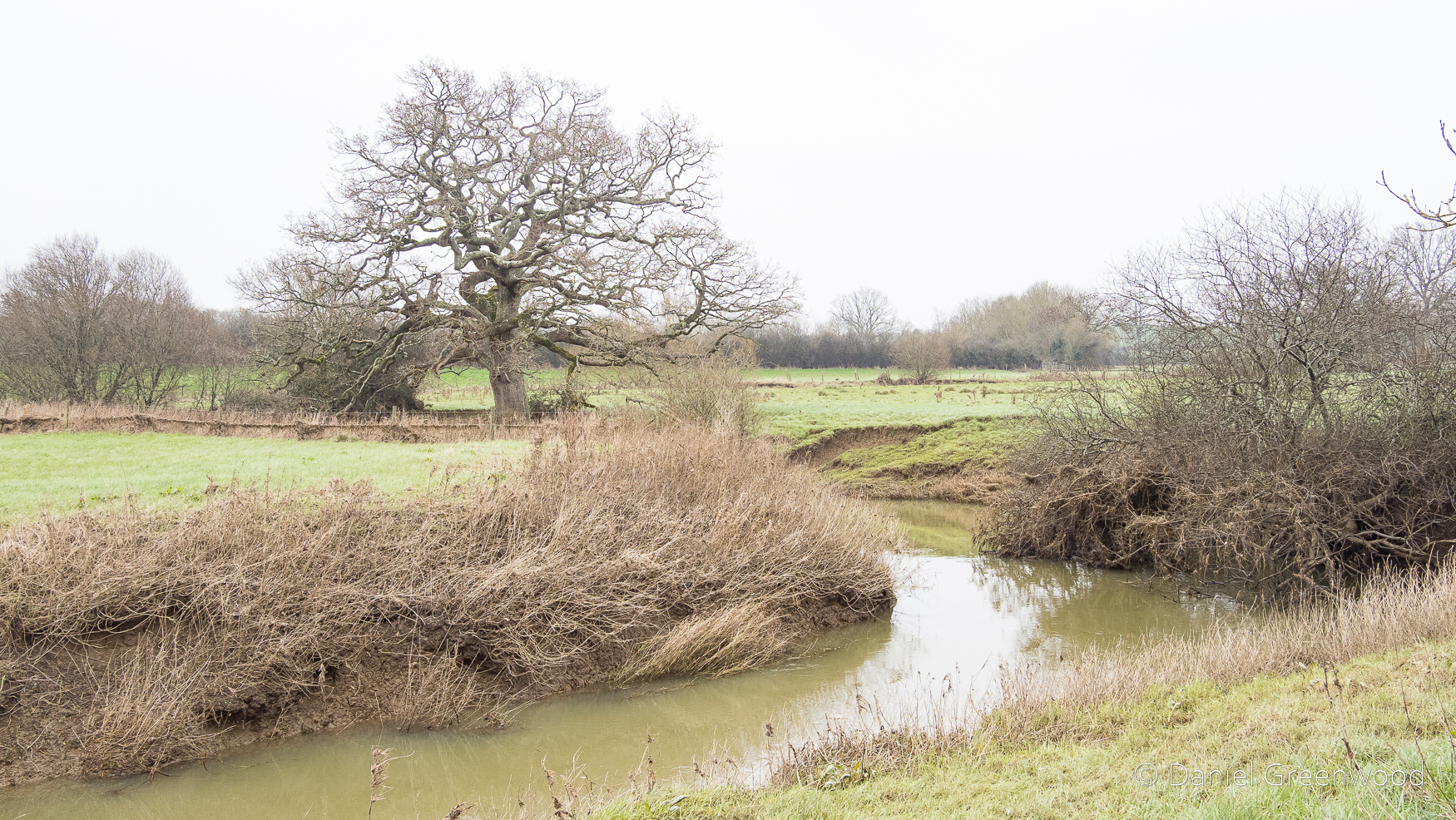
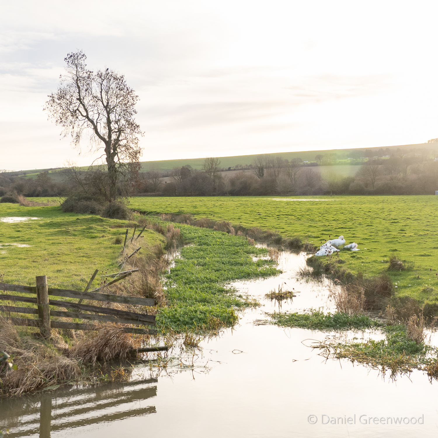
This is that sumptuous bend in the Arun, a river which I have now learned was previously known as Tarrente or Trisanton which means ‘trespasser’ (Lawes, p.174). The river does trespass widely here, or is it the other way around? We have trespassed far into the floodplain of this great river. This is another view into the area which the developers propose would become a country park. But how long would that hold for, and who would fund the management of a park here?

There was a winterbourne (I am guessing) flowing over the banks and into the canal. Growing up in Lewisham in south London, it’s so nice to see water moving of its own accord in the landscape (with respect to the work to restore the rivers in that particular borough.)

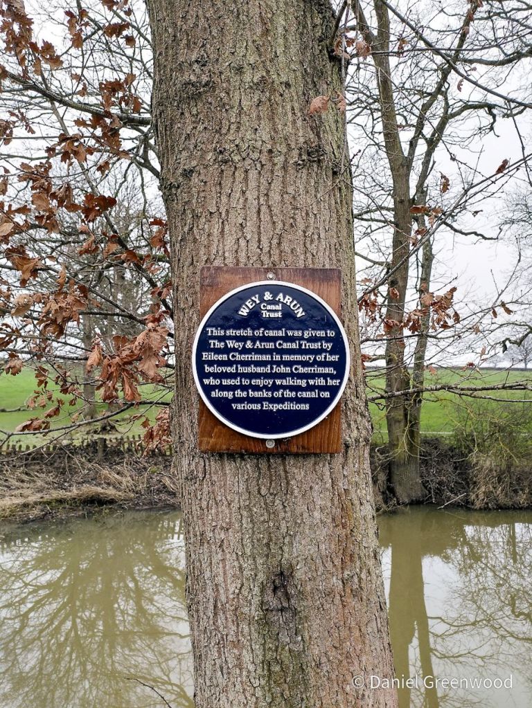
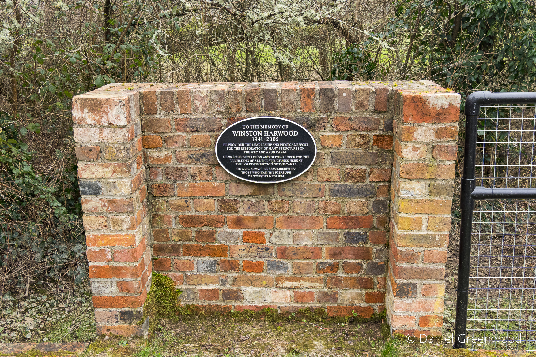
Let’s appreciate the generosity of Eileen Cherriman here, who donated a stretch of the canal in memory of her husband John.

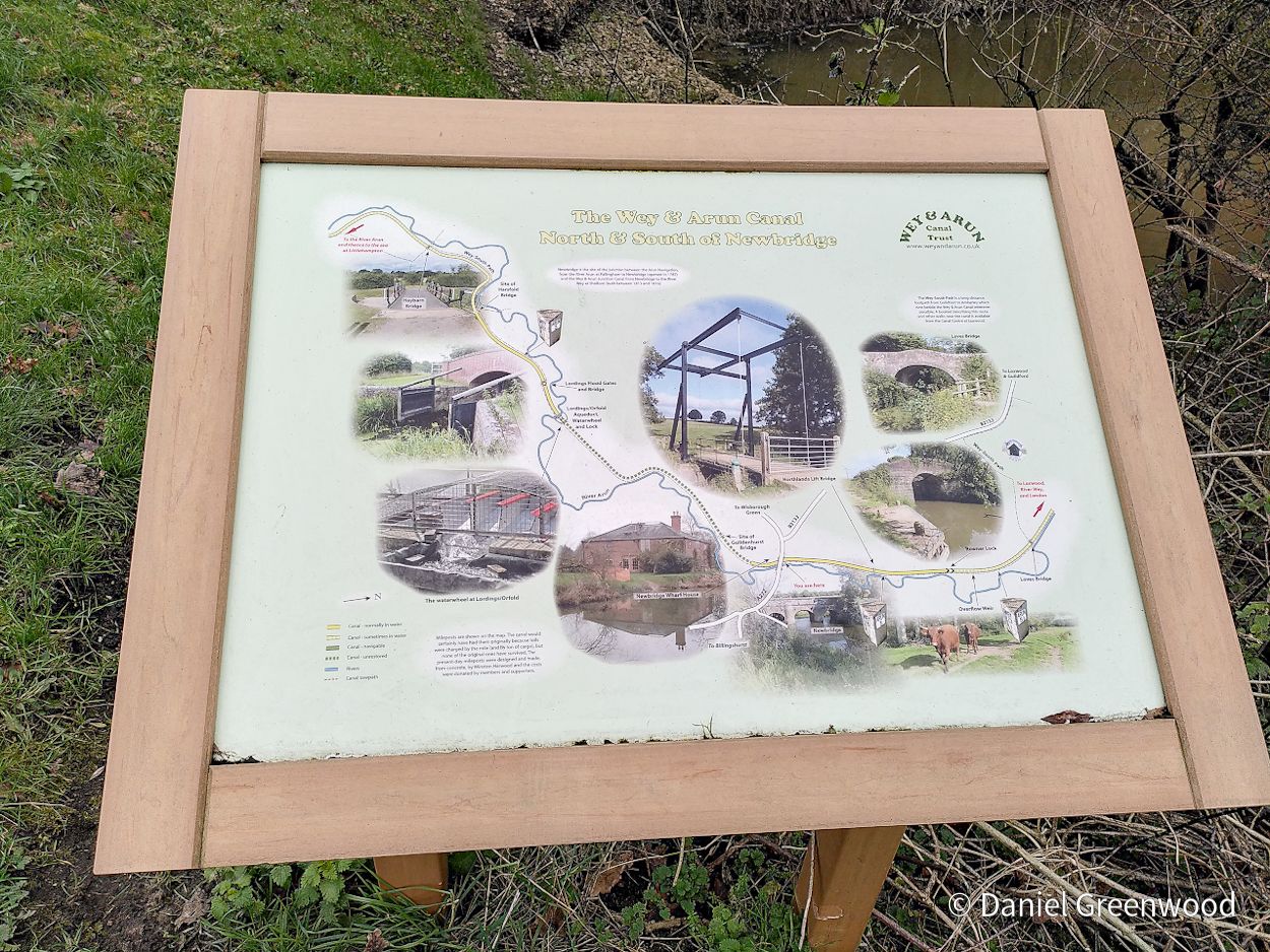
I do enjoy bringing interpretation boards to a wider audience.

Further down the canal is another bridge at Rowner Lock.

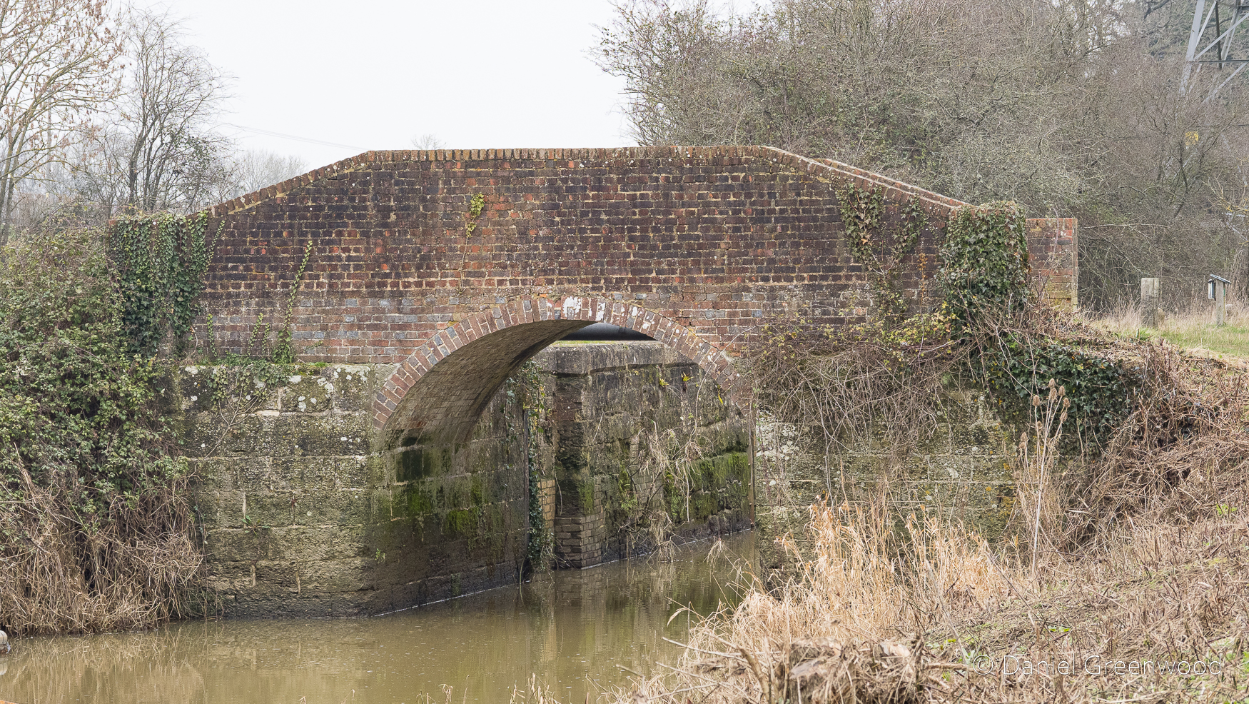
This was restored by the Wey & Arun Canal Trust.

Returning to Billingshurst

It was time to turn away from the watercourses and back towards civilisation.

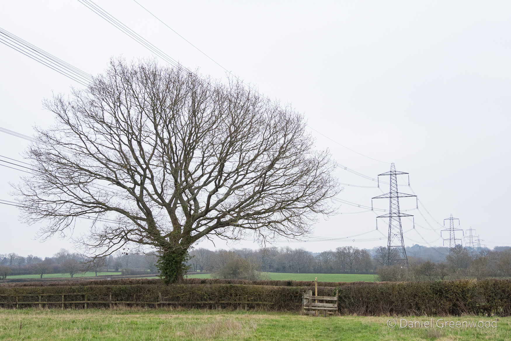
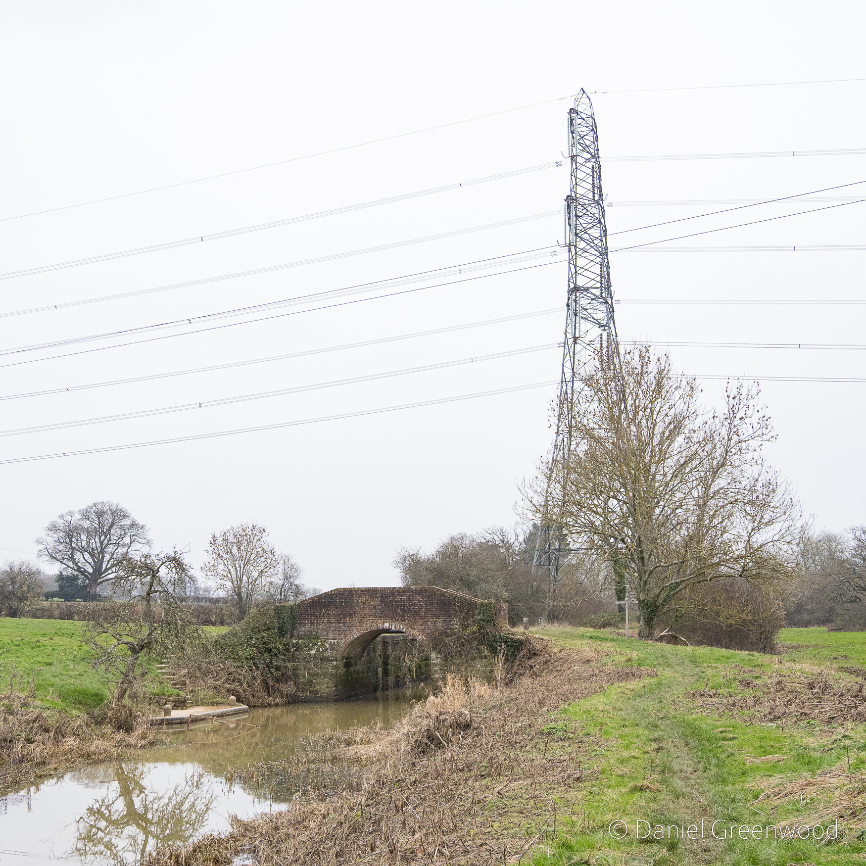
The walk turns east as it returns towards Billingshurst through farmland walked by electricity pylons.

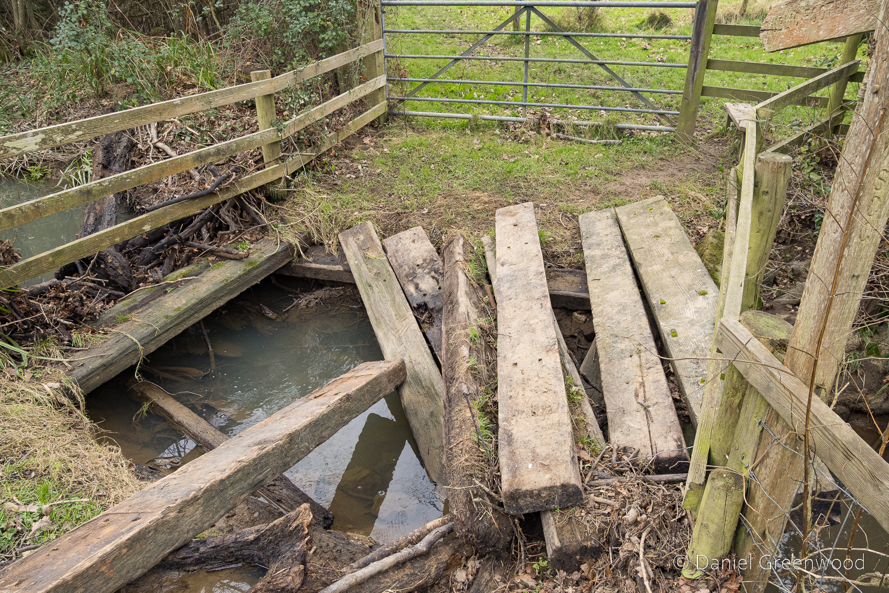
One of the footbridges on the way back was in a state of devastation, probably due to the impact of flooding. I presume this wasn’t vandalism, but from my experience you just can’t be sure sometimes.

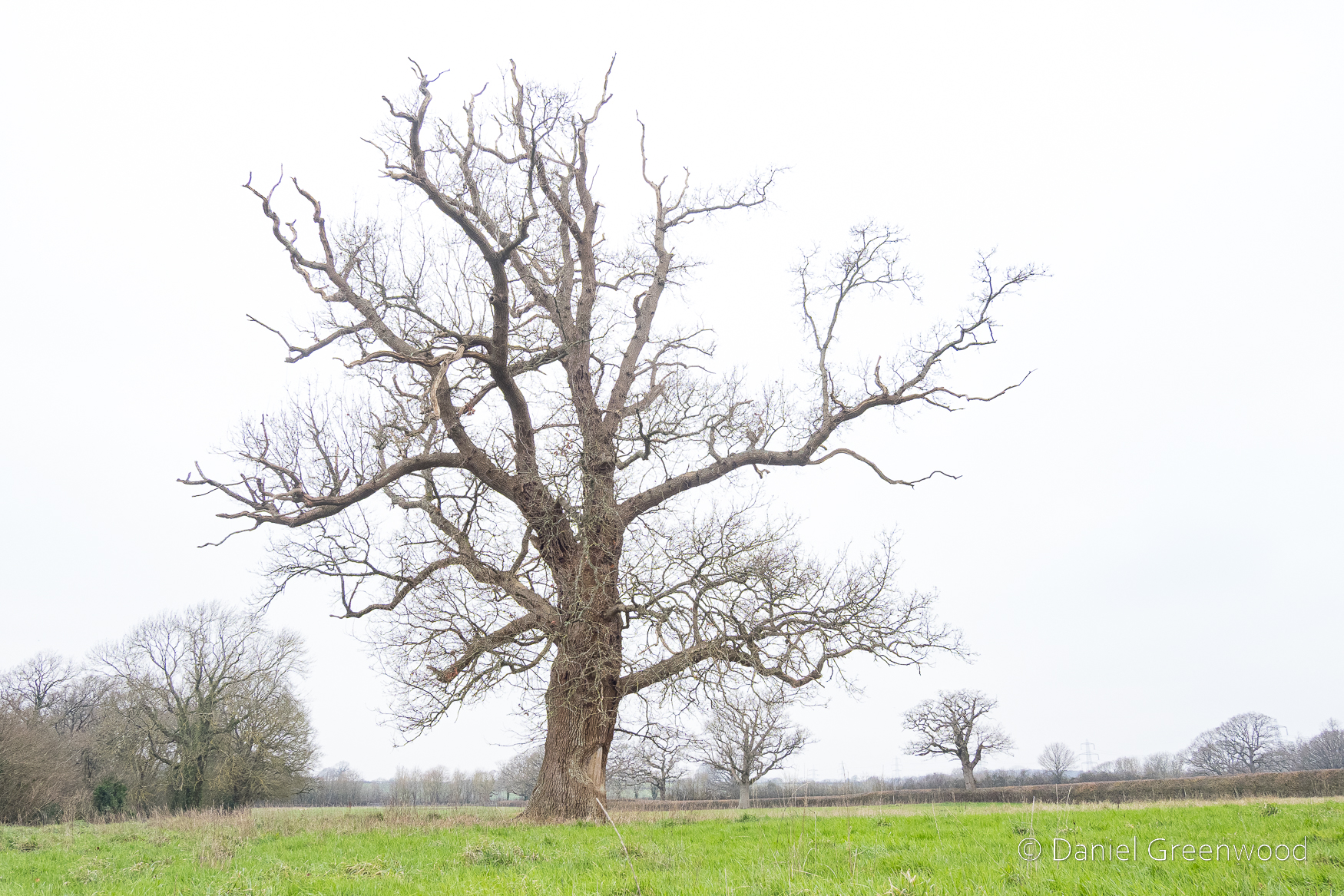
A rather sickly oak in a process of retrenchment as the upper branches die away. You can see more oaks dotted around beyond the hedgerow.

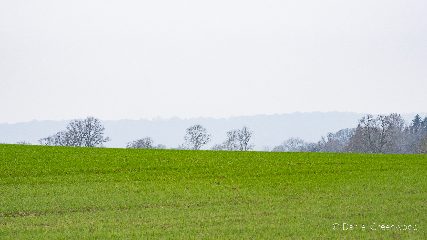
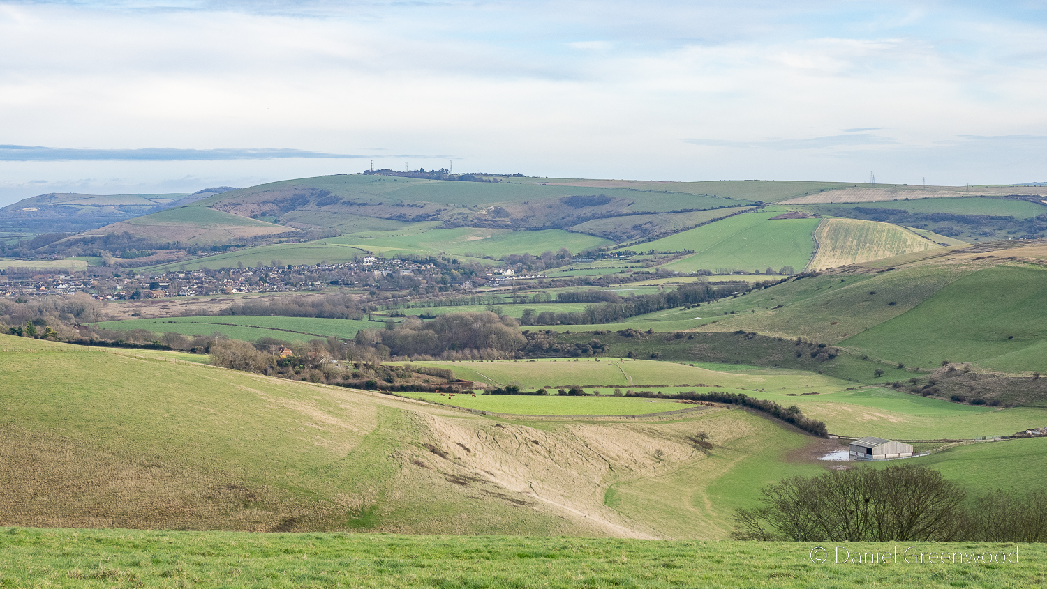
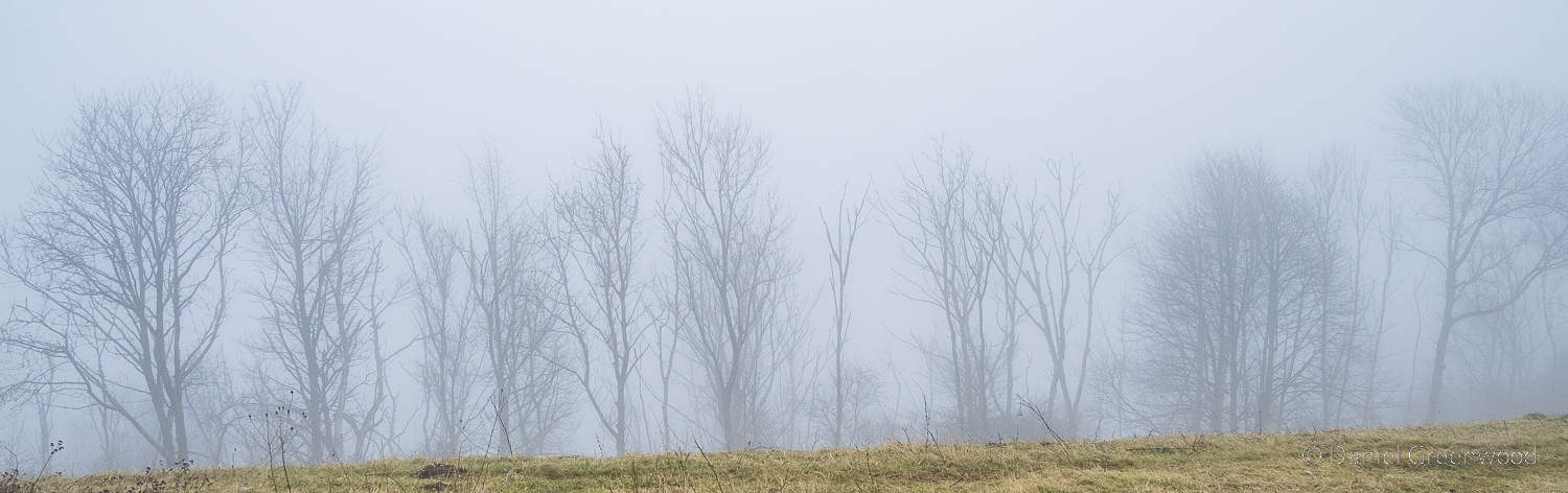
Looking north-east into the Weald, with the mist spoiling most of the fun.

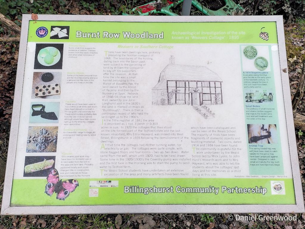
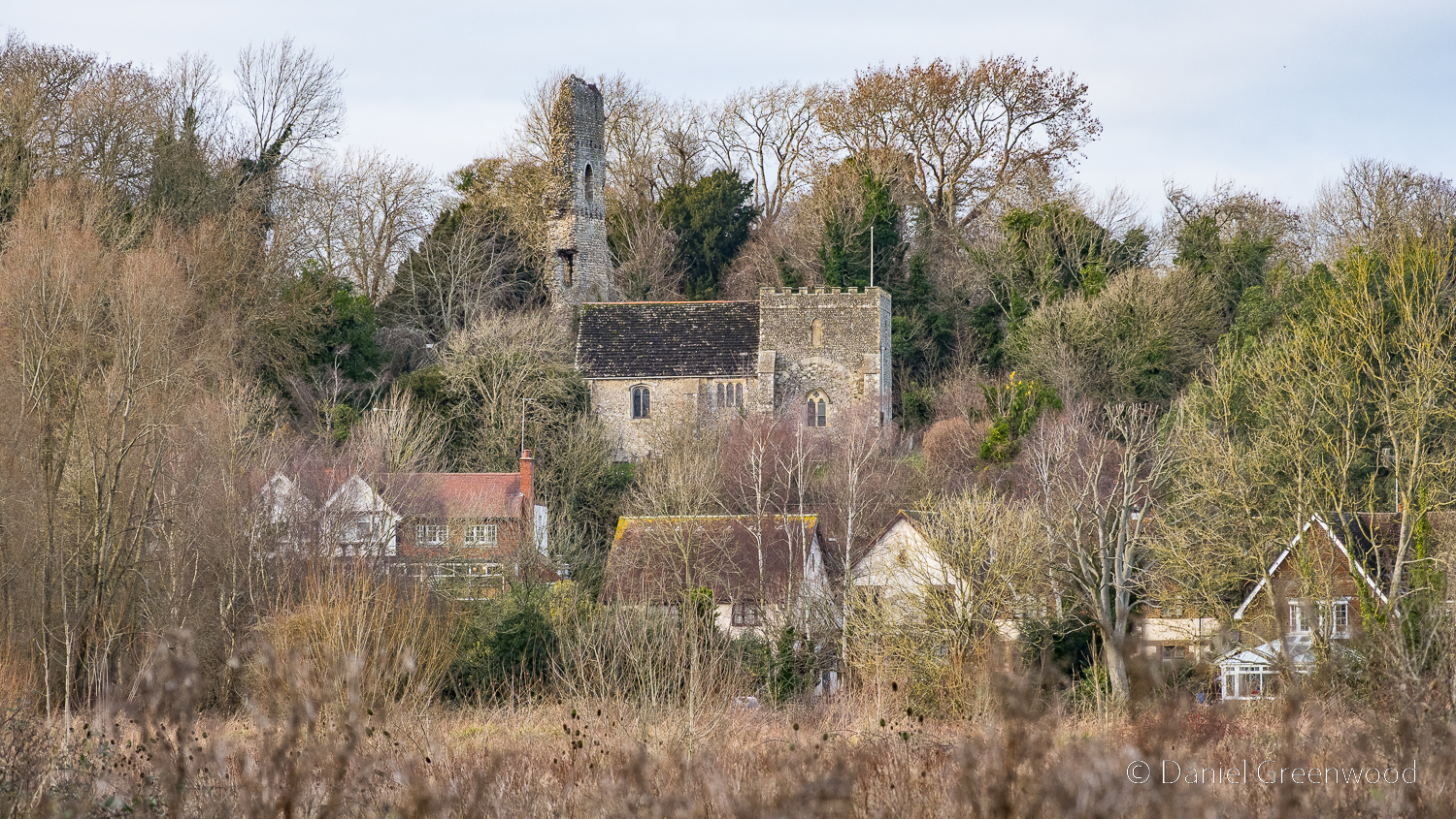
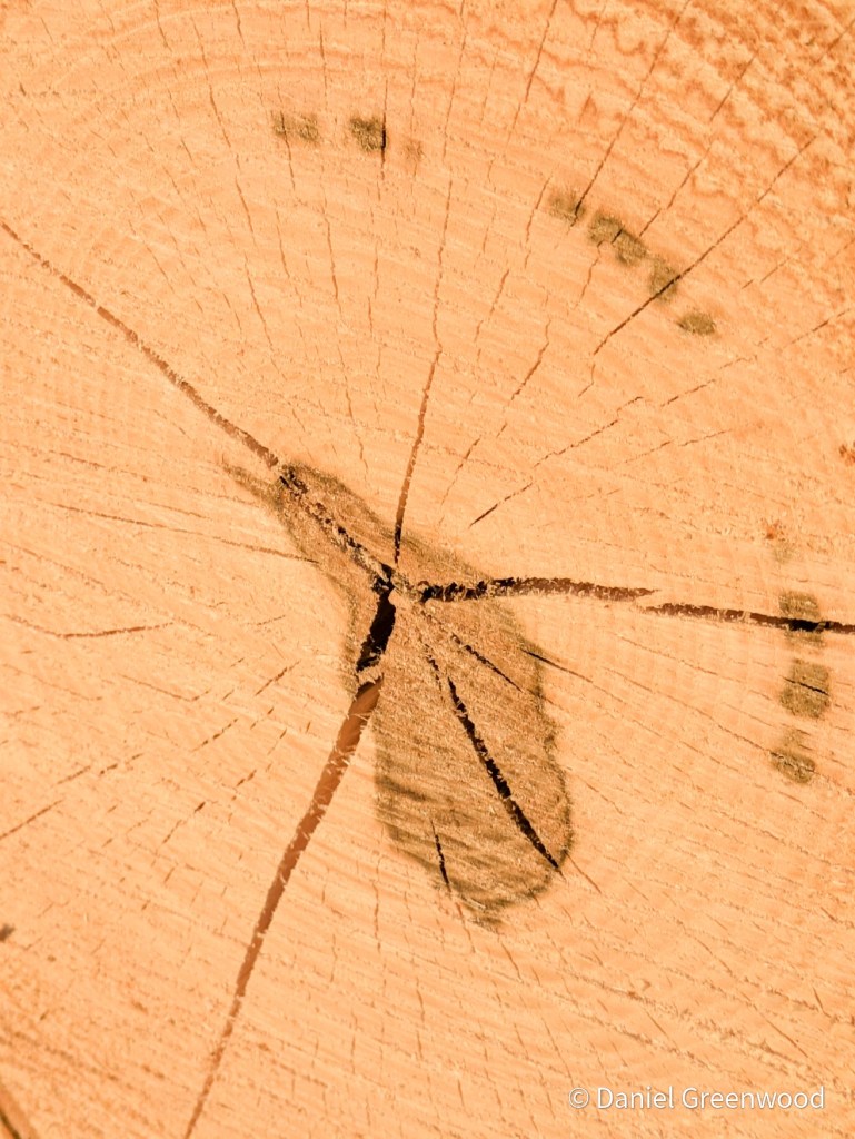
There are some interesting boards near the A29 crossing as you enter back into Billingshurst. I’m sorry that this timber-framer didn’t make it. This settlement seems to be very old, possibly prior to the Norman Conquest of 1066. Local school children have found lots of treasure at Burnt Row in their research into the site.

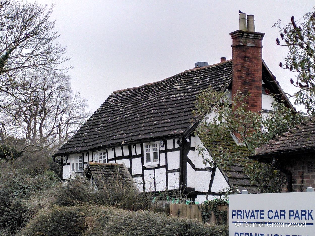
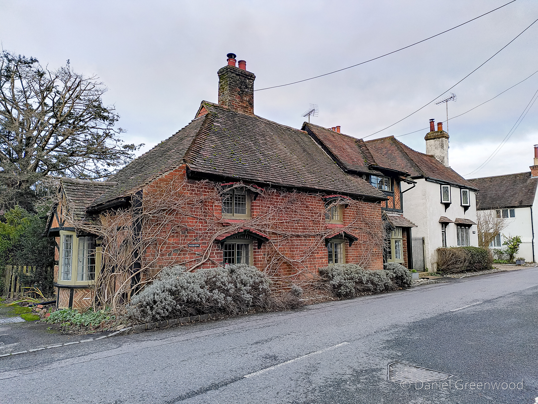
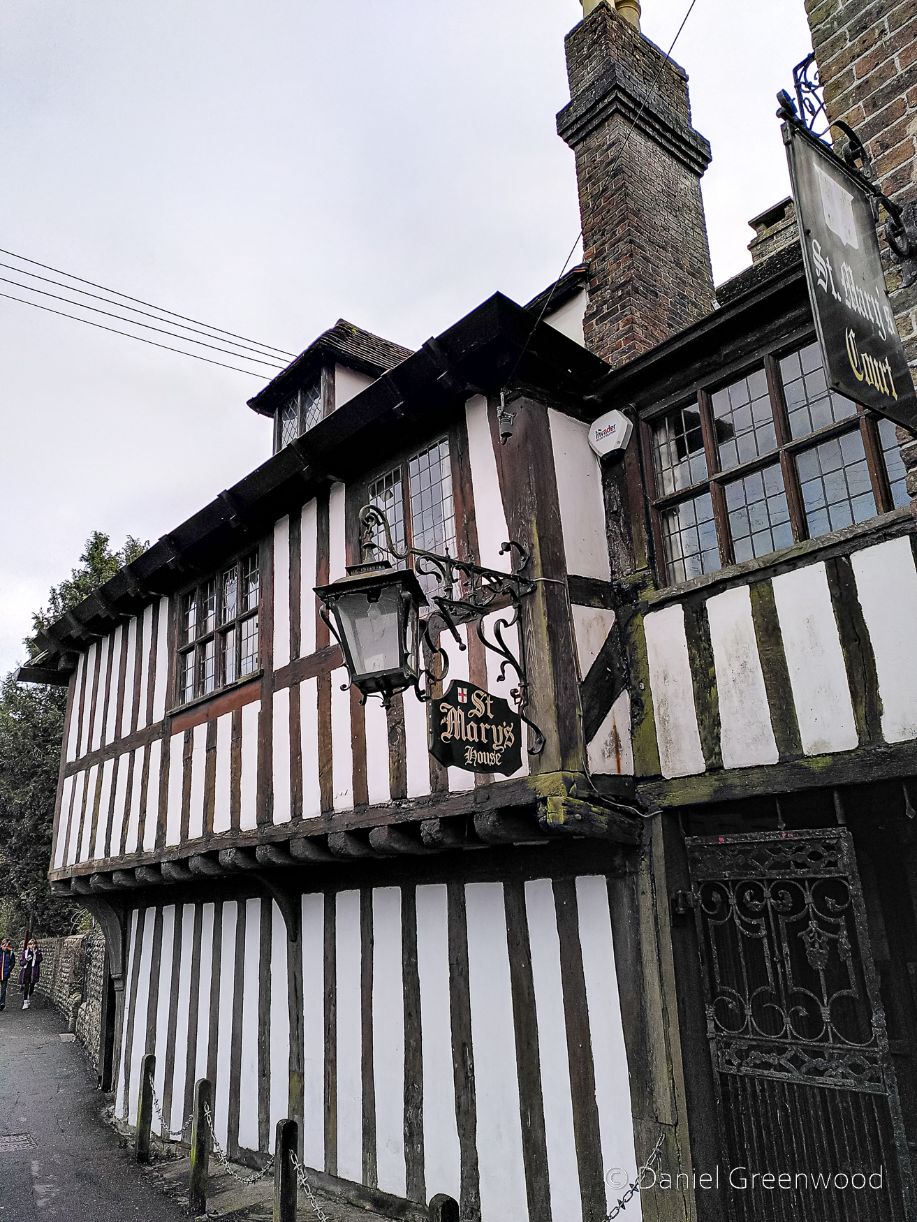
Entering back into Billingshurst I enjoyed the sight of this interesting timber-framer. A couple of local lads were causing a bit of bother here and couldn’t understand what I was doing.

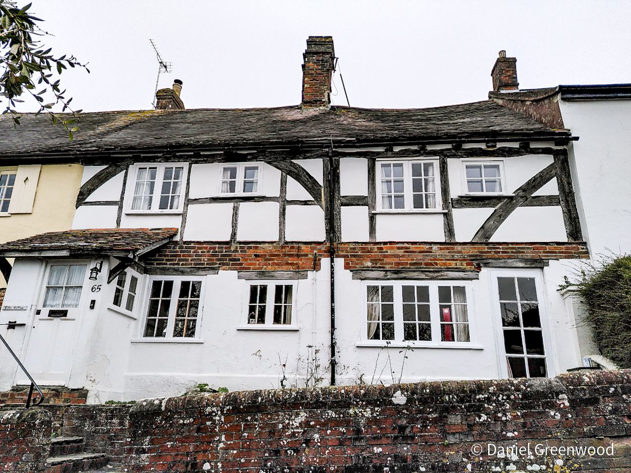
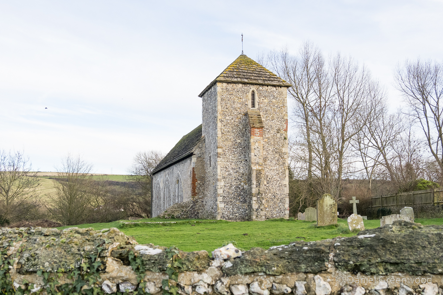
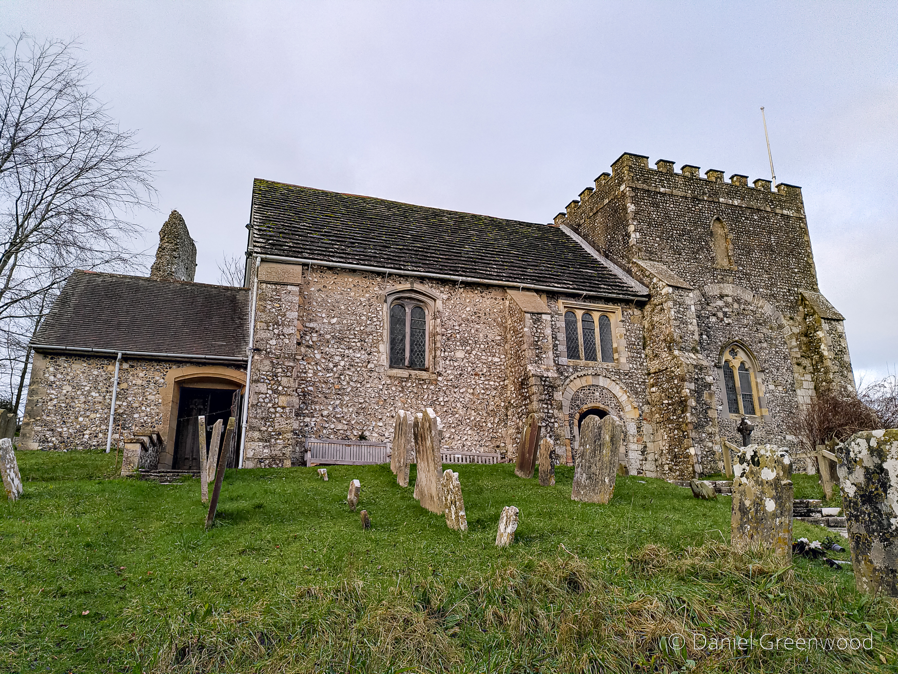
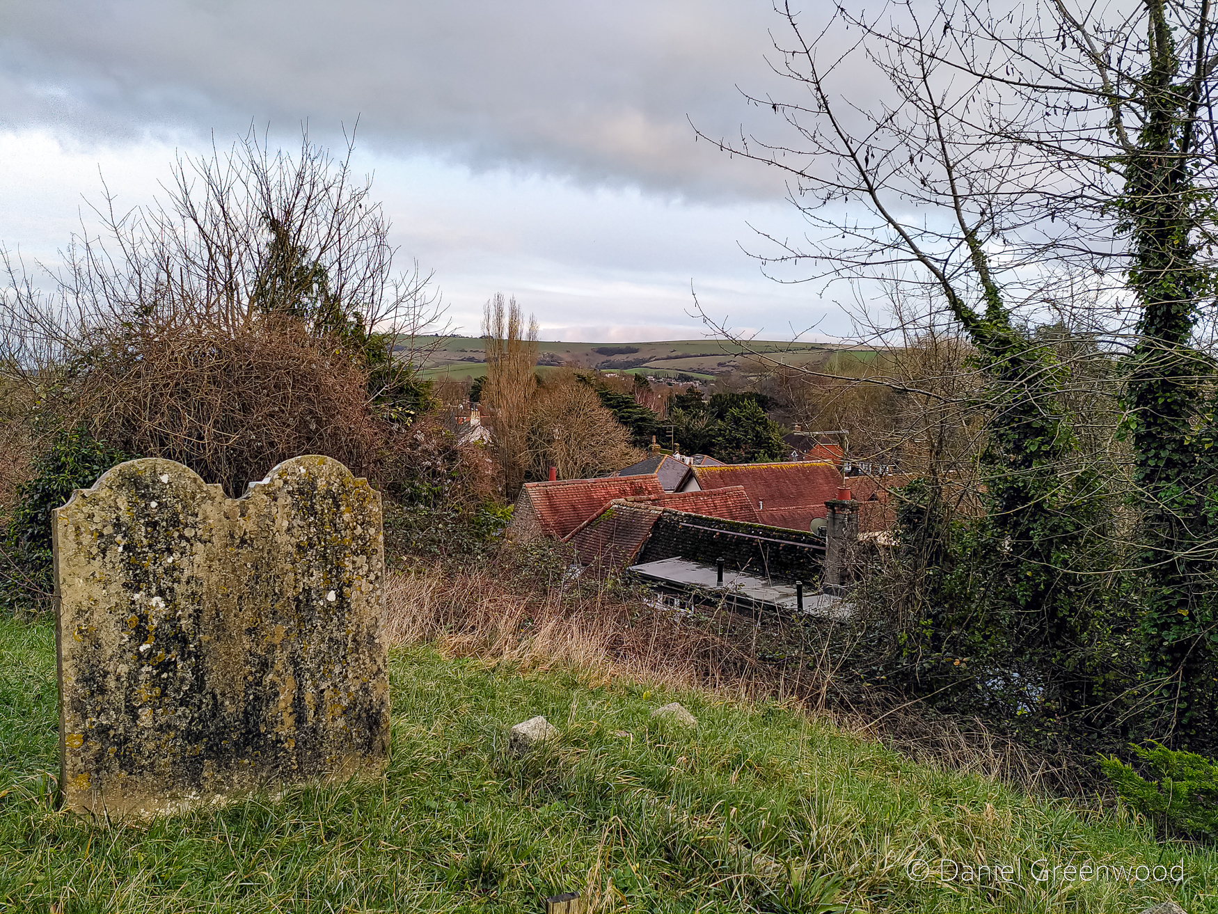
I haven’t featured the church in this post though it is important and has a prominent position in the village. The Causeway is a row of houses, many of them old and timber-framed, with one potential dating back to the 1200s (Historic England listing). If you needed any evidence that Billingshurst and its surrounding countryside is an oaken land, this should be it.

Thanks for reading.

The Sussex Weald

Along the South Downs from Washington to Bramber

South Downs Way between Washington & Bramber (10 miles), West Sussex, January 2024

This is a long post with a lot of South Downs history in it that dates back over 1000 years. I wanted to call it ‘Peaks and troughs on the South Downs Way’ but that wouldn’t have done it justice.

This walk is from the first days of 2024 and has been in my mind ever since. It’s actually two years to the day (I love that stuff). The walk left me feeling ecstatic in the quiet way that walking can.

I completed the walk using public transport, with a bus to Washington and then a bus from Bramber to Pulborough, and the train from Pulborough. Planet saved.

The walk began by passing this excellent egg box.

From Washington I walked up to the pocked and scarred hills of Washington Chalk Pits, ghosts of old industry – much more of that to follow. This place is excellent for butterflies so it’s worth visiting in the summer months. The photo here is looking west towards Storrington and Amberley. Here a buzzard flew low over the hill, looking for prey among the chalk pits.

Far from being a place of wilderness, the South Downs have a deeply industrial feel to me. This is also because the views are so expansive you can see the stretch of human activity from miles away. This is the Rampion windfarm.

The Rampion windfarm cable trench, near Truleigh Hill, May 2018

The windfarm needed a trench to be cut through the Downs when the electricity cables were routed north to the substation at Twineham. This image is from 2018 near Truleigh Hill showing the fresh, exposed chalk. The windfarm will be seen again on this eastward journey.

A man with a long beard had parked his tractor at the side of the South Downs Way where it approaches Chanctonbury Ring, and was breaking sticks from a fallen ash tree at the field boundary. Ash trees will pop up again along this journey.

The grass is always snooker table smooth where the beech trees of the ring come into view. I’ve posted before about a walk that heads south from here to Cissbury Ring, the site of another Iron Age fort. As I approached the Ring a herd of deer ran across ahead of me, leaping over the path.

Beyond the trees the metal orchids (aerials) of Truleigh Hill mark the South Downs Way some 10-15 miles east.

In isolation these windswept beech trees cross more gentle lines in the landscape.

The archetypal folds of the Downs, stubbled by trees and scrub.

Away from Chanctonbury a stonechat perched on a fencepost. These chats are your friends in the winter downland.

Looking down towards Steyning, the Adur had flooded. Why have these bales been left to grow mossy?

A tribute to one of the downland farmers, a sea of arable crop washing away to the horizon. The gleaming top right-hand corner of this photo is indeed the sea.

Beyond the crop a rupture in the chalk where the Shoreham cement works pipes up.

These wonderful fence posts are plopped into place by the rangers, the volunteers or the rights of way team from the National Park. The kindness of fingerposts.

The sheer openness of the Downs and its skies. The memories of these wide open spaces can stay with you for years, the very essence of why people deserve the right to pass along these ways.

Zooming in on Truleigh Hill – what is cloud, hill or perhaps even the sea? The eye plays tricks.

A memorial to two brothers who passed in their thirties and forties, replete with tinsel and flowers potted on either side. A Mini spinning by in the lane behind.

Another ghost of the Downs – an ash tree dying from the disease. One limb has fallen and more will follow in the winds. If you look closely you can see the remains of what are probably shaggy bracket fungi. Fear not, there is hope for ash trees in Britain.

Tilled fields, with Truleigh Hill edging closer, though it’s not part of this walk. The copse of beech trees is likely to shelter pheasants bred for shooting, a common economic activity in the South Downs, and not without its problems. Unfortunately it appears that the persecution of birds of prey (often linked to shooting estates) is rearing its head in the South Downs National Park.

Chalk flints clawed to the surface at the edge of some of the ploughed field the South Downs Way passes.

Peaks and troughs! One unmissable part of this walk (in many senses) is the pig farm right next to the South Downs Way. A man was piling up hay for the pigs and from a distance I heard him call one a ‘f***ing c**t’.

‘Really, us?’ they ask.

The windfarm once again comes into view with Lancing College, a boarding school, rising above the trees at the edge of the Downs. When I was a kid and misbehaving my parents would threaten to send me to boarding school. Now I realise they could never have afforded it! Bravo, mum.

I’ve reduced the exposure on this photo to bring out the mood in the sky. Another pheasant copse on the hilltop?

Shoreham cement works is built into the site of an old chalk quarry, which dates back to the 18th century. It’s on the market for housing as of October 2025.

This pre-1950s photo wasn’t one I took, but it shows the cement works before they were rebuilt into the Soviet-esque version currently standing. This article has a lot of interesting information and old photos looking at the history of the place.

St. Botolph’s Church is one of the oldest in Sussex, dating back to pre-Norman England. St. Botolph is a Saxon Saint associated with river crossings. The Sussex Parish Churches website points out that the village connected to the church ‘was an important port on the lower Adur until the sea receded after about 1350’. I enjoy the lichens growing on this old metal sign.

Dating from around 950, St Botolph’s was built near one of the first industrial trade routes in Britain, a Roman road along which tin was carried from the Cornish mines to the East Sussex seaport of Pevensey. Two thousand years on, and industry still stamps its mark in this book of rural West Sussex, with the railway line and modern cement works visible just a few hundred metres away.

Gail Simmons, Between the Chalk and the Sea: p.157

We’ll get to that railway line in a little bit, but after being out in the cold January air, it was nice to find a sheltered place to sit for a little while.

There’s a window that dates to the Saxon period at St. Botolph’s, which to me feels more mysterious than the much earlier Roman occupation (AD43-400). My guess would be the ’round-headed’ window in the top right here is the Saxon one, as per the official descriptions.

This should give a sense of the shape and colour of the interior. The nave and chancel also date to Saxon times.

The paintings at St. Botolph’s are subject to debate, and are hard to see. They could be part of an unproven ‘Lewes Group’ of wall paintings, with some potentially dating back to the 10th century (scroll down for more detail here).

St. Botolph’s is a magnificent little church with thousands of years of history packed into its flinty walls. You can see my church galleries here.

A helpful guide to what’s possible on the South Downs Way. I took the broken route to Bramber, having travelled the 7 miles from Washington.

Sheep-marked fields where the Downs rise again above the Adur, towards Truleigh Hill and then Devils Dyke.

An indicator of what is to come when you descend from the Downs into the Low Wealdoak trees. This was the only one I saw on this rather treeless walk. There should really be an owl in that trunk.

While the River Adur now wends its way through to Shoreham (the cement works chimney can be seen on the left-hand side) this is where the sea once swept. The river could be travelled by boat as far as Bramber, where my walk ended.

A small flock of swans roosting on the bank as the evening sun slips below the Downs. Another solitary ash tree survives here along the river. Over my shoulder the scene was far less tranquil:

The A283 is a major connecting road between the A24 and Shoreham where it joins the A27, the road that roars at the feet of the Downs for many miles.

The path through the wet grassland to Bramber. It amazes me to think the sea once reached this far. But that’s not the only ghostly presence haunting these marshes.

More recently this was the course of the Steyning Line, a railway now converted to an accessible walking and cycling path between Guildford and Shoreham. I was surprised to read that railway enthusiasts want to bring this line back. But for a photo caption, the article includes no mention of the fact this is now the Downslink path, one of the only truly safe long-distance walking and cycling routes in the area.

Bramber’s St. Nicholas Church as seen from the old railway path. The remnant wall above is one of the only remaining parts of Bramber Castle, with both the castle and church dating to the 11th century after the Norman Invasion of 1066. The castle has was a motte and bailey:

Bramber Castle was founded by William de Braose as a defensive and administrative centre for Bramber, one of the six administrative regions – each of which was controlled by a castle – into which Sussex was divided following the Norman Conquest. It was held almost continually by de Braose and his descendants from its foundation by 1073 until 1450.

Bramber Castle history webpage – English Heritage

At this point my camera battery ran out of steam, so I took a few final photos of Bramber on my Fairphone.

You can see how the raised position of the church and castle was chosen. The hills in the distance are the South Downs, to pass to the left (east) will take you to Truleigh Hill and eventually Devil’s Dyke. It’s believed Oliver Cromwell’s army set up guns on this hill during the English Civil War in 1642.

Bramber is a village of largely unspoilt brick and timber-framed buildings. I stopped off at the Bramber Hotel for a quick half before catching the bus, and encountered a wonderful oak timber-framed building.

St. Mary’s House dates back to the 12th century and is open to visitors during set periods. There’s also a tea room. There’s a nice write up of the history of the building on the St. Mary’s website, including the recent investment to bring it back to life.

Thanks for reading, it’s been a long journey.

South Downs | Sussex Weald | Oak timbers | Churches

You can support my work here

The ash tree’s survival

I noticed some good news about ash trees recently and wanted to share my experience of a difficult decade for the European ash (Fraxinus excelsior, referred to here as ‘ash’), as well as some of the photos I’ve taken of this iconic tree. Working through this post, I’ve realised just how many images I’ve compiled down the years. I’ve also realised just how much I care about this tree as a species, and how painful it is to see it effectively being erased from the landscape by disease.

Ash is one of the first tree species that I really began to notice and tried to understand ecologically and culturally. When I started to take notice of wild trees, I saw that ash was everywhere in south London, seeding in railway sidings, parks, gardens, and woods. I’ve cut them down (not particularly big ones), planted them, pollarded them, photographed them and breathed their oxygen (obviously most people in the UK have!).

What do ash trees mean to people?

Pollarded (or shredded?) ash trees outside shepherd’s huts in Asturias, Spain in June 2011

I’d like to start overseas, as ash dieback is Europe-wide problem.

This week it was 14 years since I visited Los Picos de Europe (The Peaks of Europe National Park) in Asturias, Northern Spain as a volunteer.

The photo above came up in my ‘memories’ and it was only then that I remembered the ash trees. This was a remote village high in the mountains where people were making cheese (they didn’t want the name of the village to be shared online). The ash trees here are pollards, with the branches cut back to make a single stick of a trunk. It’s probably severe enough to be considered ‘shredding’, which Oliver Rackham wrote about.

Lollipop ash trees growing close to the old shepherd’s huts in a remote part of the Picos de Europa, June 2011

The reason this is done is to provide food for sheep – the fresh green growth of new ash leaves, which they love.

A massive pollarded ash tree next to a restored hay barn in Wensleydale, Yorkshire in 2018

Interestingly, it’s similar in the Yorkshire Dales, where ash trees are abundant (see above and header image) and so are sheep. During one holiday in the Dales, I remember seeing a sheep climbing up a wall in order to nibble the leaves of an ash. What is also interesting to me, is that this is the same model of livestock grazing which spread from the Middle East, across Europe and into Britain thousands of years ago. It doesn’t sound dissimilar to the spread of ash dieback.

A typically large ash stool in a former hedgeline or boundary, coppiced or laid for many years (near Reeth in the Yorkshire Dales, 2019)

It’s not uncommon to see very large ash stools (old trees that have been regularly felled for timber) in boundary lines in places like Yorkshire, Sussex and Kent. I’m sure their coppicing was probably to provide ample feed to sheep, as in Northern Spain, above.

Dartmoor, Devon in 2023

This mammoth ash in Dartmoor National Park in Devon is possibly the biggest I’ve ever seen.

What do ash trees mean to wildlife?

A diseased ash tree with a large number of King Alfred’s Cakes fungi growing on the main trunk in Sussex in 2023

The fungus King Alfred’s Cakes has benefited in the short-term from an explosion in dead ash wood to colonise. The longer-term picture for fungi and lichen is not so good. Ash has a number of lichens that depend on it in places like the Lake District (my knowledge doesn’t extend very far here) which needs living trees.

A mossy ash surrounded by wild garlic in Wensleydale, Yorkshire in May 2018

Ash benefits ancient woodland flowers that arrive early in spring because the leaves are compound (they have leaflets, not broad leaves) and allow light into the woodland floor. Species like wood anemone and wild garlic do particularly well in their dappled early spring light.

Magnificent veteran ash tree with Ullswater behind it in the Lake District. The top trunk of the tree has collapsed on some farm equipment in the background (2023)

I’ve encountered several ash down the years that have been for the chop on reasonable safety grounds in London, but then have been saved by the fact bats are living in them.

Bats can live under loose bark, in woodpecker holes (which are often found in older ash) and in large crevices. This magnificent ash was near Ullswater in the Lake District and had suffered what the tree officers would deem a catastrophic failure, but the woodland ecologists would be licking their lips at!

The Timeline

2012: when ash dieback arrived in Britain

A range of leafless ash trees alongside the South Downs Way near Ditchling in November 2024

One afternoon in the autumn of 2012 I was finishing my working day in the woods when I noticed the dying-back of an ash sapling. The stem had lesions and the leaves were drooping. It was my first year as a community woodland officer and ash tree seedlings were so numerous we actually had to pull them up in certain places. They were the epitome of a sometimes invasive British plant.

It was the first time I had seen a European ash tree (Fraxinus excelsior) infected with ash dieback disease, known scientifically as Hymenoscyphus fraxineus.

The first time I saw and photographed ash dieback disease in Sydenham Hill Wood, autumn 2012

At the time we needed to report every new sighting to the Forestry Commission (as it was then), to help map the spread of this devastating disease. It spread so quickly that reporting became redundant, as were widespread protection measures. I remember someone remarking that asking people to clean their boots would be about as effective as asking the birds to clean their feet.

2017: ash dieback decimates the South Downs

Leafless diseased ash trees above Steyning, seen from the South Downs Way in February 2023

It was only really when I moved to Sussex to work in the South Downs National Park that the real impact dawned on me.

Eastbourne appearing beyond infected ash trees in June 2017

During a walk with the South Downs Eastern Area Ranger team, I was taken aback by the way declining ash trees were opening up views of the coastal town of Eastbourne. It has continued to progress since then.

A young ash tree experiencing ash dieback from the top-down on the South Downs, May 2019

Groves of once green ash woodlands and verdant hedgerow trees were dying en masse. In the past few years trees along highways have been felled due to the threat to public safety from these brittle, dead trees overhanging roads, paths and properties.

The main concern is how the decay enters the heartwood (as above) and causes structural failure even within living trees, meaning the ash are more likely to fall unexpectedly. I spoke to a council tree officer who said that there have been a number of fatalities of tree workers due to ash trees. It’s tragic.

A diseased ash tree that had fallen across a footpath in the South Downs, logged and cleared in February 2023

But how did ash dieback get to Britain? Fungi spread through spores, tiny particles that ‘seed’ in appropriate places and then grow into a living fungus that produces fruiting bodies. The fruiting bodies (mushrooms, to most people) then produce the spores. The ash dieback fungus is native to Asia, but there’s no way it could get to Europe alone. People helped it, accidentally, to arrive in Europe over 30 years ago. In Britain, it may have been helped by the process of growing UK saplings in Dutch hot houses, alongside infected ash saplings, and bringing them back to the UK.

2024: signs of resistance

This phone pic was taken in July 2025 when my local green space had been subject to ash removal. The logs show the scars of the disease (see previous) but the scene is not one of disaster. There are healthy ash trees on either side that are surviving and, indeed, thriving considering what they are up against.

That is something The Living Ash Project have been logging(!) – trees showing mild symptoms and overcoming the dieback.

This rather optimistic article highlights more of the positive steps, and advanced scientific interventions being made to save ash trees.

Ash trees in isolated areas, away from ash woodlands, may be in a much better position (literally) to survive the disease epidemic because they are not overwhelmed by spores from ash leaf litter found in thick leaf litter.

A turning point for ash trees?

A mature ash tree in Wensleydale, Yorkshire in May 2018

The news for ash trees in 2025 is much more promising.

An article in The Guardian reports that ash trees in Britain are showing signs of evolving genetic strains of ash that will not succumb to the fungus. This means ash trees could return to the landscape in due course, though not in the same way.

In the south-east of England where I live the disease is said to have peaked.

Other research has shown that some isolated ash trees are surviving. I can vouch for this – there’s an ash tree in my mum’s garden (c.15 years old) in London that I’ve trimmed back once before. It is flourishing, so much so that the neighbours are asking for it to be cut down again. Welcome to London.

Large ash in the Howgill Fells, Yorkshire Dales (close to Cumbria) in 2019

There is also a plea on the back of the latest research for woodlands to be allowed to regenerate on their own. Many people will be keen to point out the role of ‘rewilding’ in helping this process. In many cases it’s just a matter of leaving woodlands in certain places to do their thing, probably behind some fencing.

Here’s hoping that ash trees can be saved across Europe and wild trees are given the space to do their thing. In the end they may outlive us.

Thanks for reading.

Ash trees | Fungi | Support my work

The South Downs: old ash tree

This week’s single photograph is an old ash tree in Amberley, West Sussex, taken on 2nd December 2022. This tree may once have been part of a laid hedgerow, hence its wider base. Ash trees are disappearing from the British landscape thanks to the invasive fungus known as ash dieback. I do try and record the older ash trees when I see them. This tree’s left-hand branch is pointing to one of the highest hills locally, Amberley Mount, up on the South Downs. The bracket fungus seen higher up the tree is probably shaggy bracket.

Thanks for reading.

Further reading: The South Downs