North Mayo Coast, Ireland, September 2024
In September 2024 me and my mum drove to an area of the North Mayo Coast I’d never been to but had been hoping to visit for a while – the site of Dún Briste, otherwise known as Downpatrick Head. It’s the location of the iconic ‘sea stack’ that has become isolated from the mainland, apparently thanks to St. Patrick himself.
To get to Downpatrick Head you take the Wild Atlantic Way, the name for the road that wends its way around the Atlantic coast of Ireland.
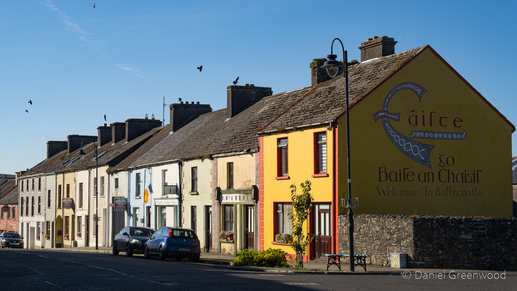
You pass through the village of Ballycastle on the way. The yellow house on the corner reminds me of the Ireland we visited as a family in the 1990s, especially around Cork. The birds on the roof are jackdaws.
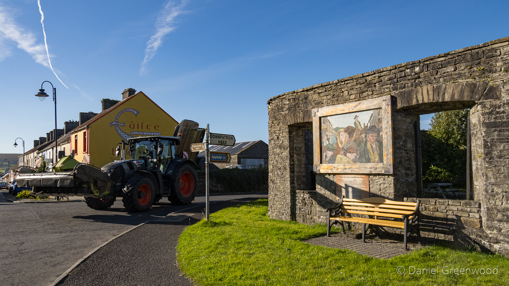
A tractor came roaring around the corner when I took this photo of ‘the Shambles’. It was once a market place and slaughterhouse that became a British military site temporarily during British colonisation (approx. 1500s-1931) in the 1800s. Don’t worry, it’s a picnic spot now.
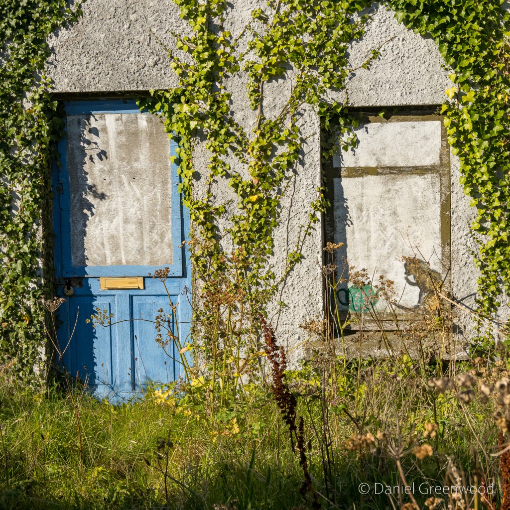
Ballycastle was home to this charming scene of an ivy-covered cottage, complete with cat and teapot.
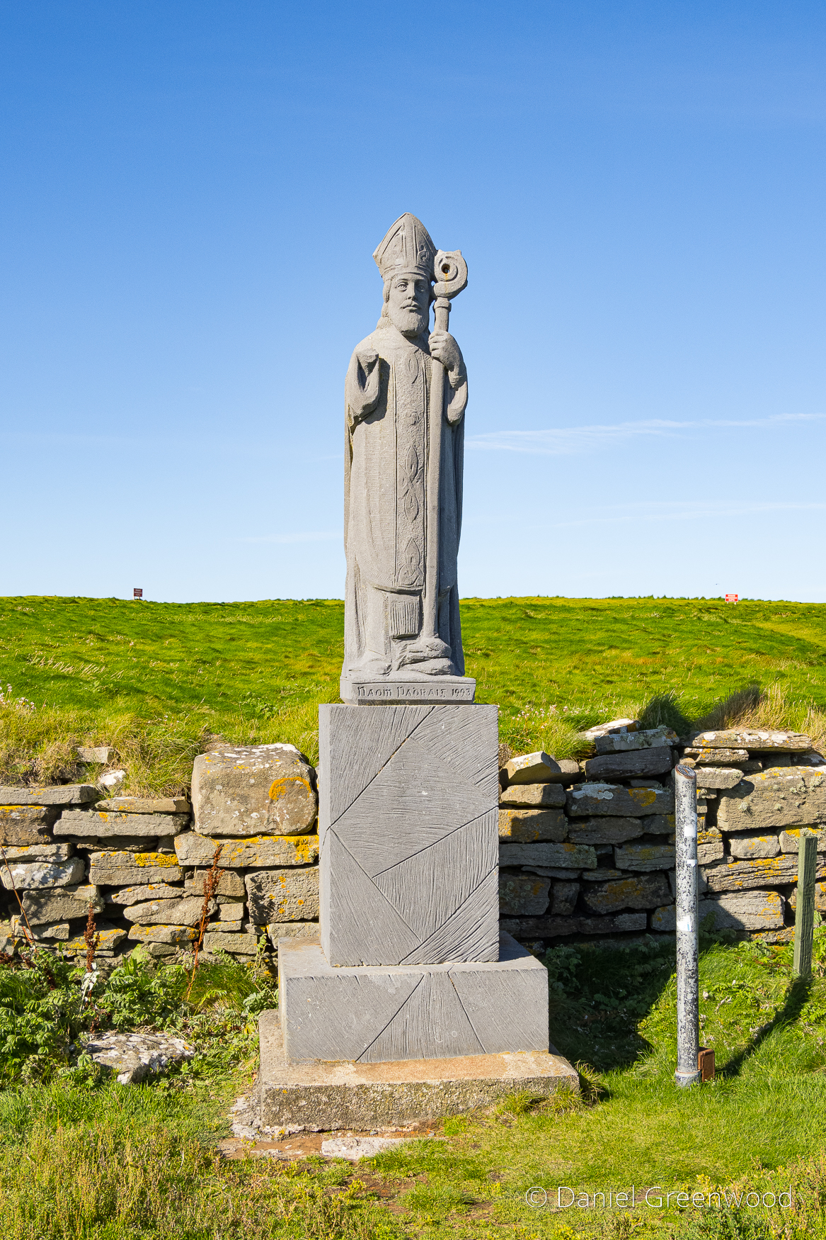
Fast forward a few miles, beyond the car park and up the hill towards Downpatrick Head, the statue of St. Patrick (Ireland’s Patron Saint) was installed in the 1980s. St. Patrick is said to have founded a church here, which the statue marks the site of.
St. Patrick is also said to have had a role in the isolation of the sea stack, hitting the ground in an attempt to ‘furiously convert’ the Celtic and therefore pagan chief, Crom Dubh to Christianity. A more scientific view:
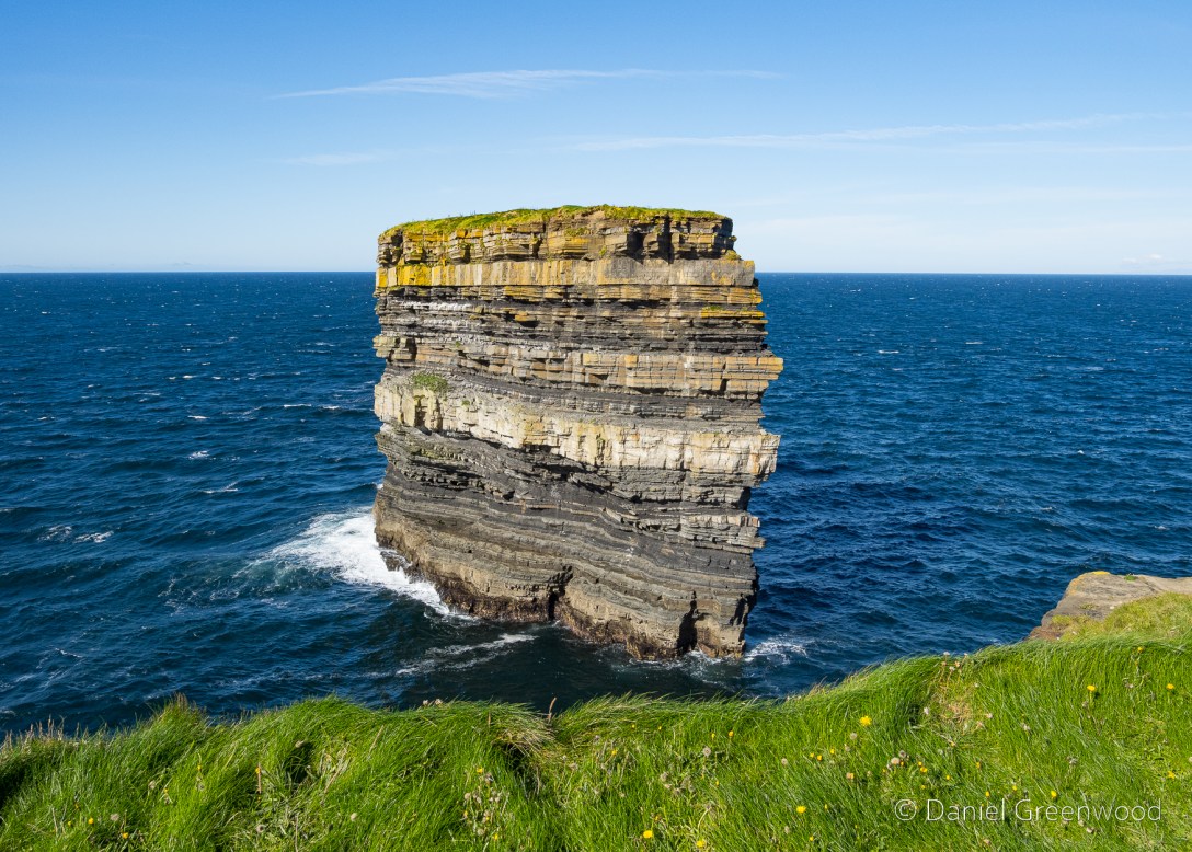
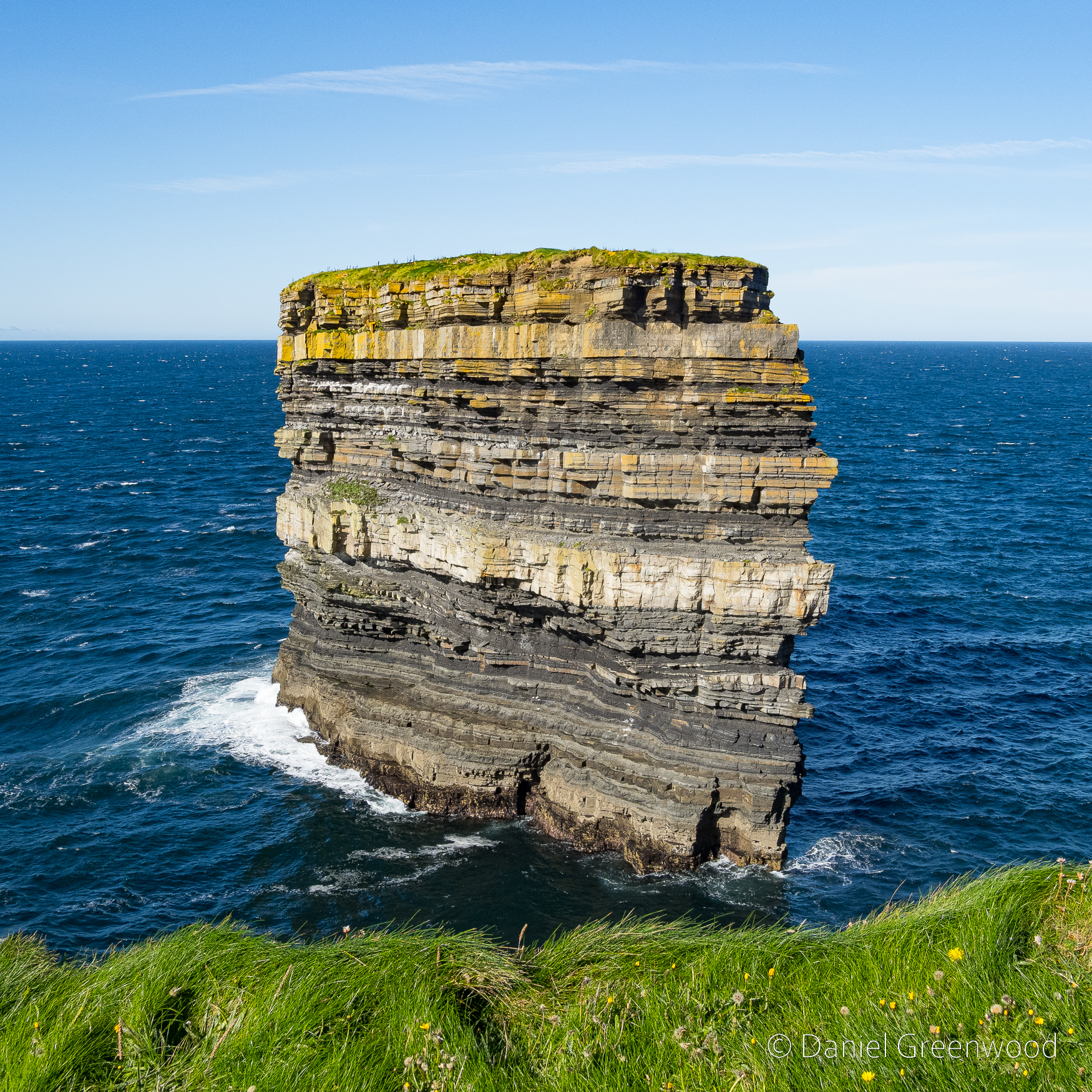
Dún Briste or ‘Broken Fort ‘ was once joined to the mainland on north Mayo’s coastline. The ‘Sea Stack ‘ stands forty-five metres in height. Formed approximately three hundred million years ago during the Lower Carboniferous period
Our Irish Heritage: National Museum of Ireland
Geologically (rather than mythologically), the sea stack is believed to have become isolated from the mainland during a storm in 1393 that caused extreme erosion to the coastline. I think the stack looks like a stone frog emerging from below the cliff.
In 1980 archaeologists accessed the stack via helicopter and found several interesting things. The video above shows an ascent from 2016, and includes some footage of an old wall that can’t be seen from over on the mainland. I am wondering what legal protection the nesting birds have, the stack reportedly is home to puffins due to the lack of terrestrial predators.
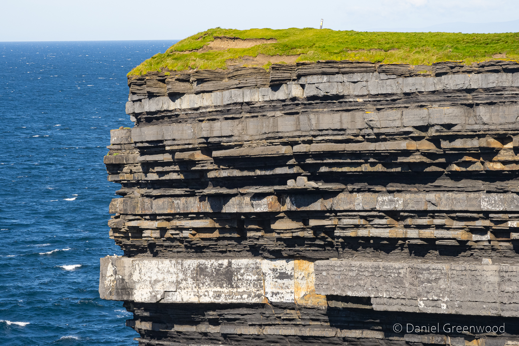
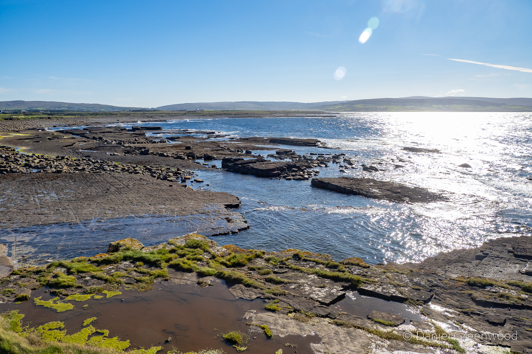
The rock strata are layered in wafer-like stripes.
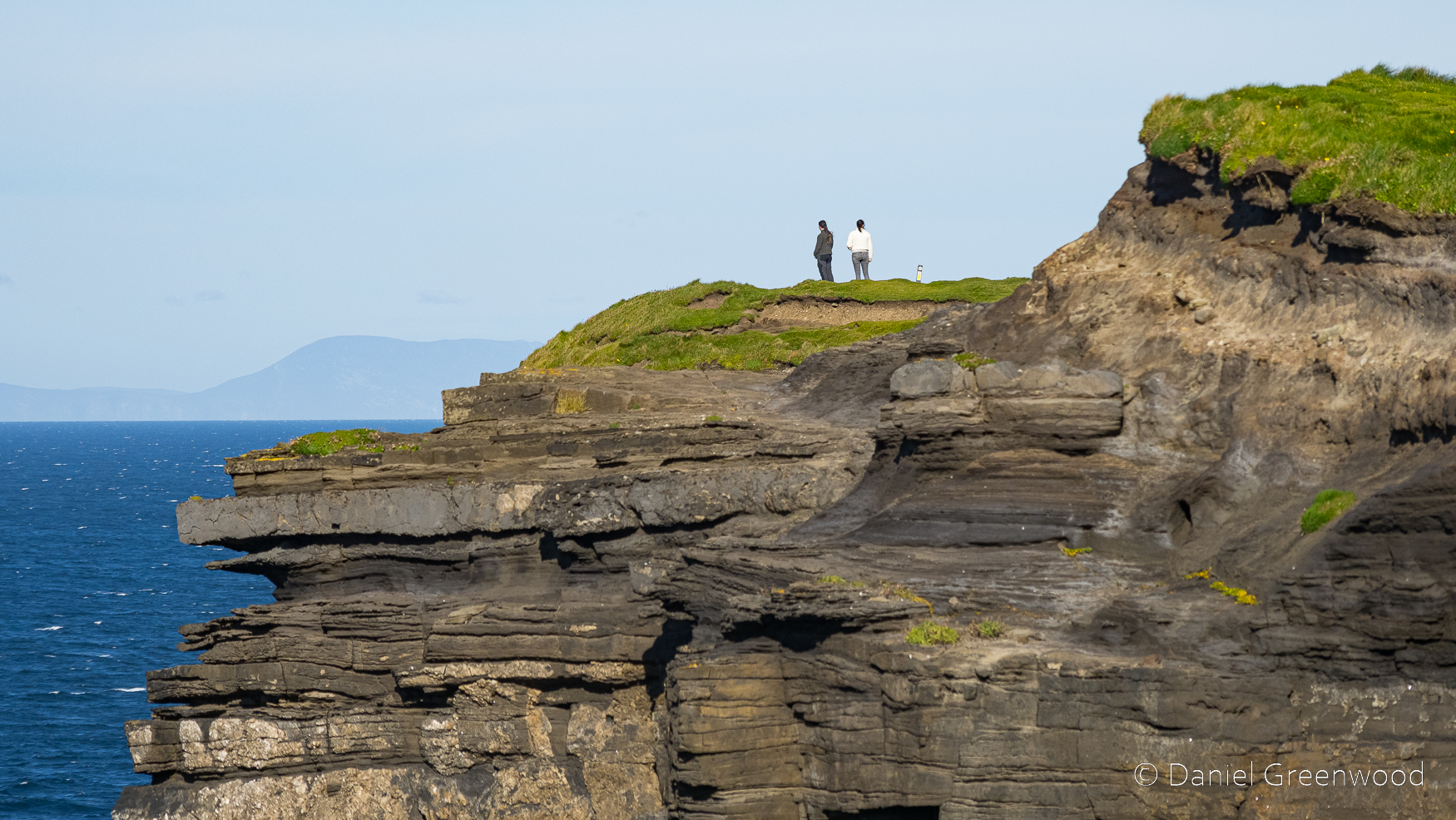
The coast to the east shows the different forms of erosion that’s taken place over the years, as the more recent soils have been hammered by wind and rain.
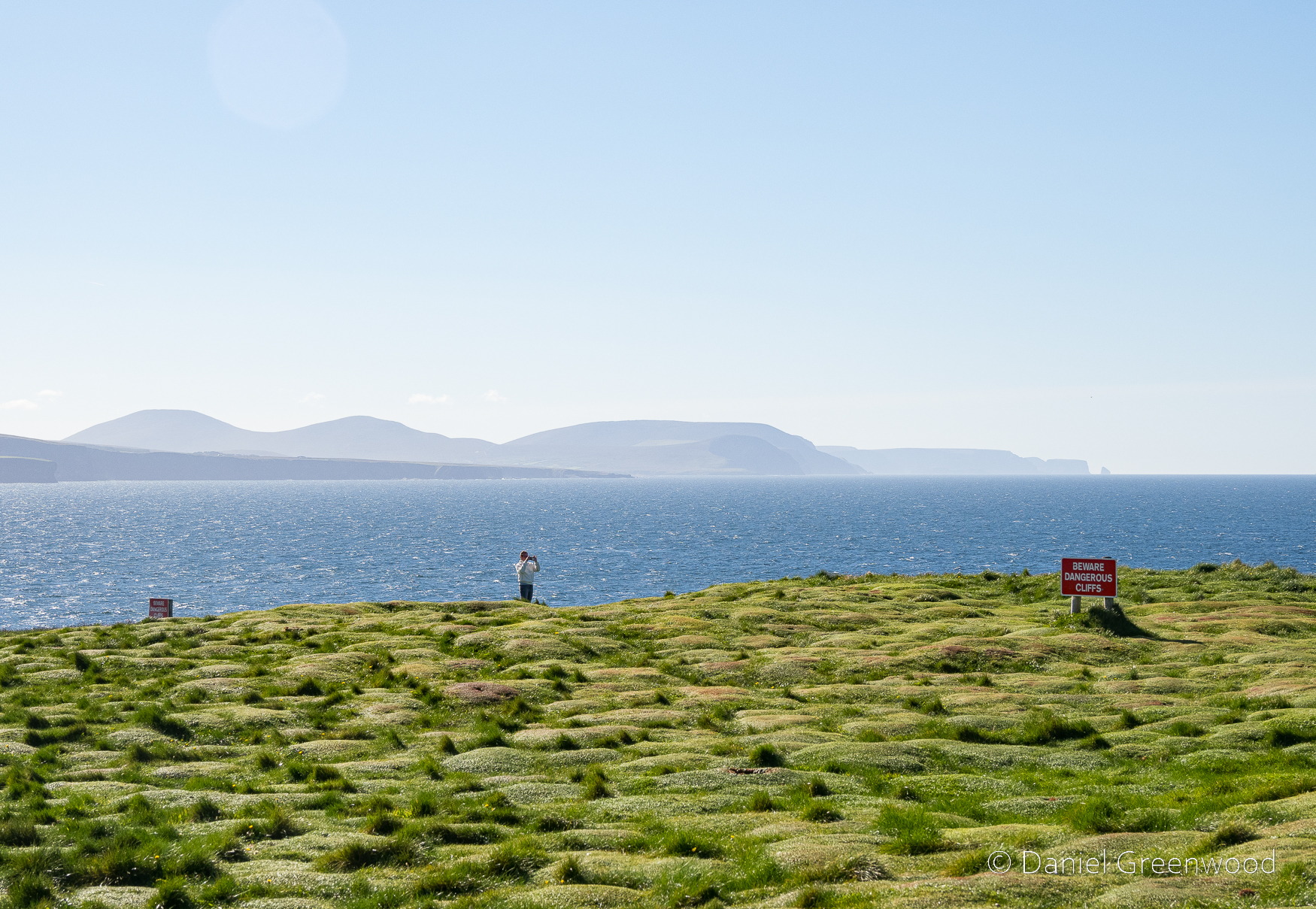
This person taking a photo among the strange tussock mounds reminds me a bit of St. Patrick’s statue. The coastal scene in the distance holds Céide Fields:
The remarkable neolithic site at Céide Fields in County Mayo, Ireland, contains the oldest known stone-walled fields in the world – dating back nearly 6,000 years.
CéideFields.com
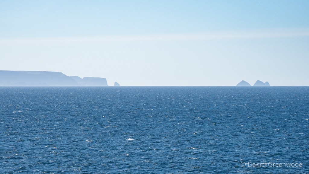
To the right (north) are the Stags of Broadhaven.
A short video I filmed on my phone that shows how windy it was up there on the day the photos were taken.
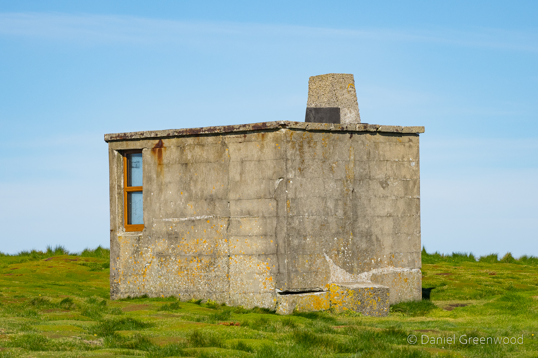
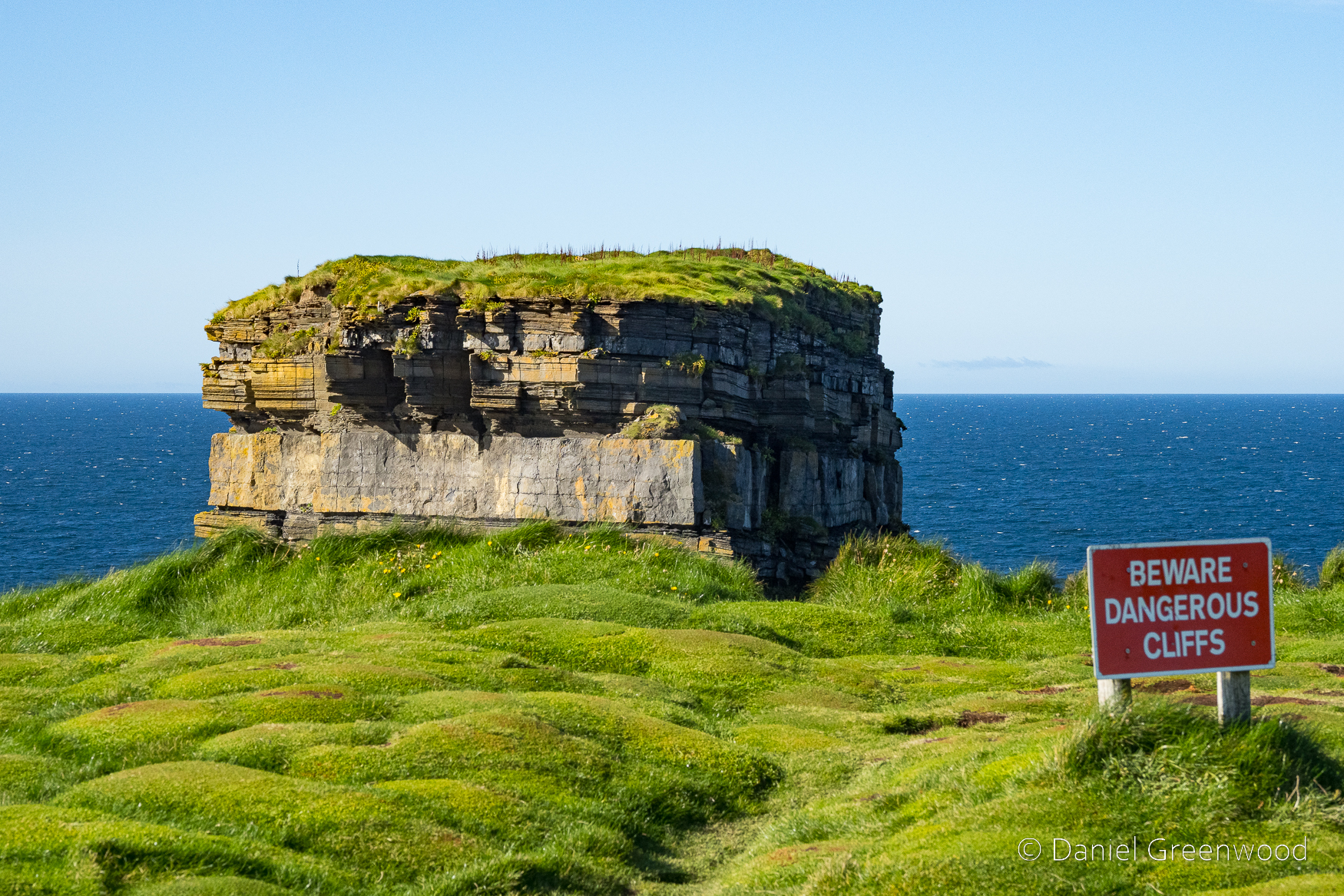
A mysterious concrete cabin, presumably for military or other coastal observation purposes.
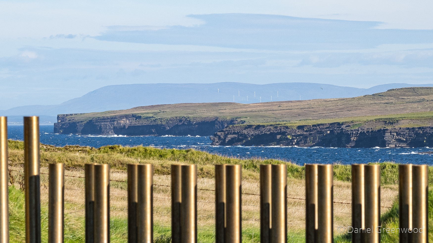
Looking east along the coast towards Sligo and the Ox Mountains.
The golden pipes are part of an installation that allows you to safely view the sea through a ‘blow hole’ cutting into the hillside. Legend has it that the hole was created after an altercation with St. Patrick and Crom Dubh:
Crom Dubh in desperation set a fire with which to hinder Patrick. This did not go down well! Picking up a stone, the holy man hurled it in anger into the middle of the fire, sinking it deep into the earth. Today, this hole is known as ‘Poll na Seantine’ (‘Hole of the Old Fire’).
NorthMayo.ie
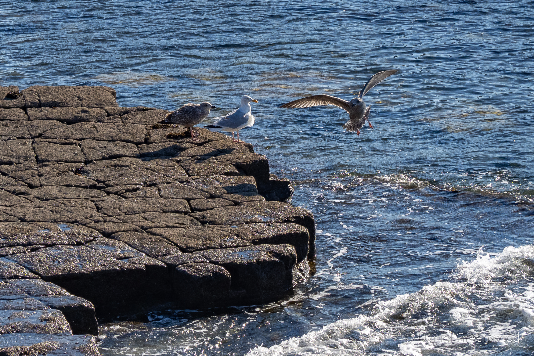
There was no such violence during our visit. Gulls were gallivanting (gull-ivanting?) on the rocky outcrops on the shore.
Thanks for reading.
