Killala Bay on the Wild Atlantic Way 🇮🇪

Killala, North Mayo Coast, Ireland, September 2024

In this post I try to unlock the land and seascape of one of my favourite coastal places – Killala Bay, a Special Area of Conservation on the North Mayo Coast. I have another post from 2025 which will follow in the months ahead. I also hope to visit again this year, it’s a fascinating, restorative place.

In recent months I’ve also posted about Downpatrick Head, to the west along the North Mayo Coast:

Downpatrick Head on the Wild Atlantic Way

I’m a woodlander, not an oceanographer, so we’re beginning from a low baseline, which can be a lot of fun. I’ll try to unravel some local history along the way.

Killala was home to one of the final battles during the ultimately unsuccessful 1798 Irish Rebellion against British control, despite a bit of help from the French.

Two hundred and fifty years after that battle, there was no British flag flying in Killala. The red flag at the beach meant it wasn’t safe to enter the water. I’m not a swimmer, so had no intention anyway (nor is my mum, who was with me for this stroll).

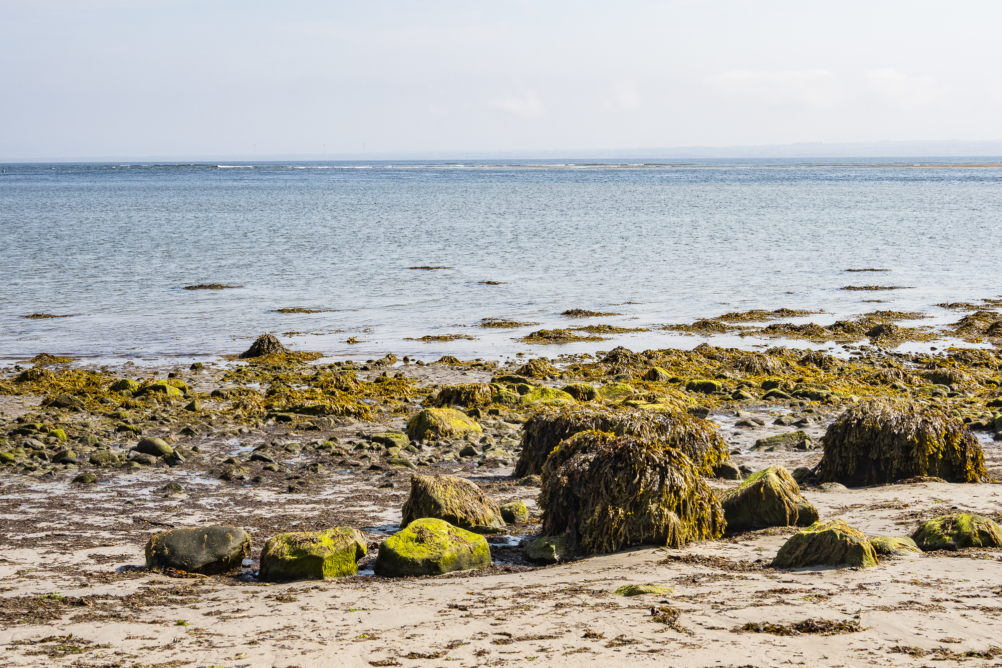
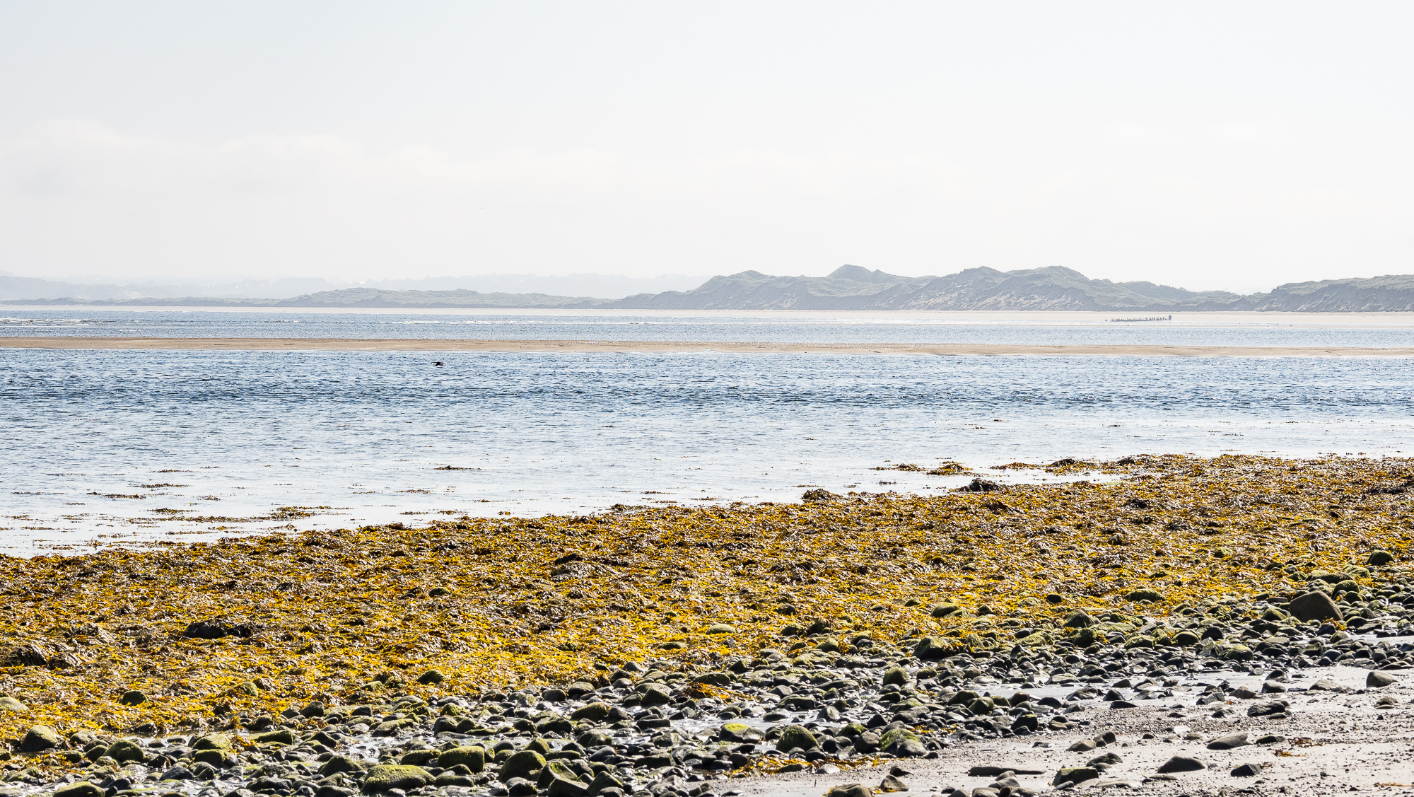
The seaweed-covered boulders of the shoreline.

Killala Bay has a lot going for it, it’s a Special Area of Conservation (SAC), designated because of the range of special habitats including sand dunes, sea cliffs and salt meadows. You can read more about that here. The SAC designation is also given due to the presence of narrow-mouthed whorl snail (Vertigo angustior) which is Near Threatened, sea lamprey (Petromyzon marinus), and common (harbour) seal (Phoca vitulina).

The Nature and Wildlife Plan for the area has a lot of interesting detail.

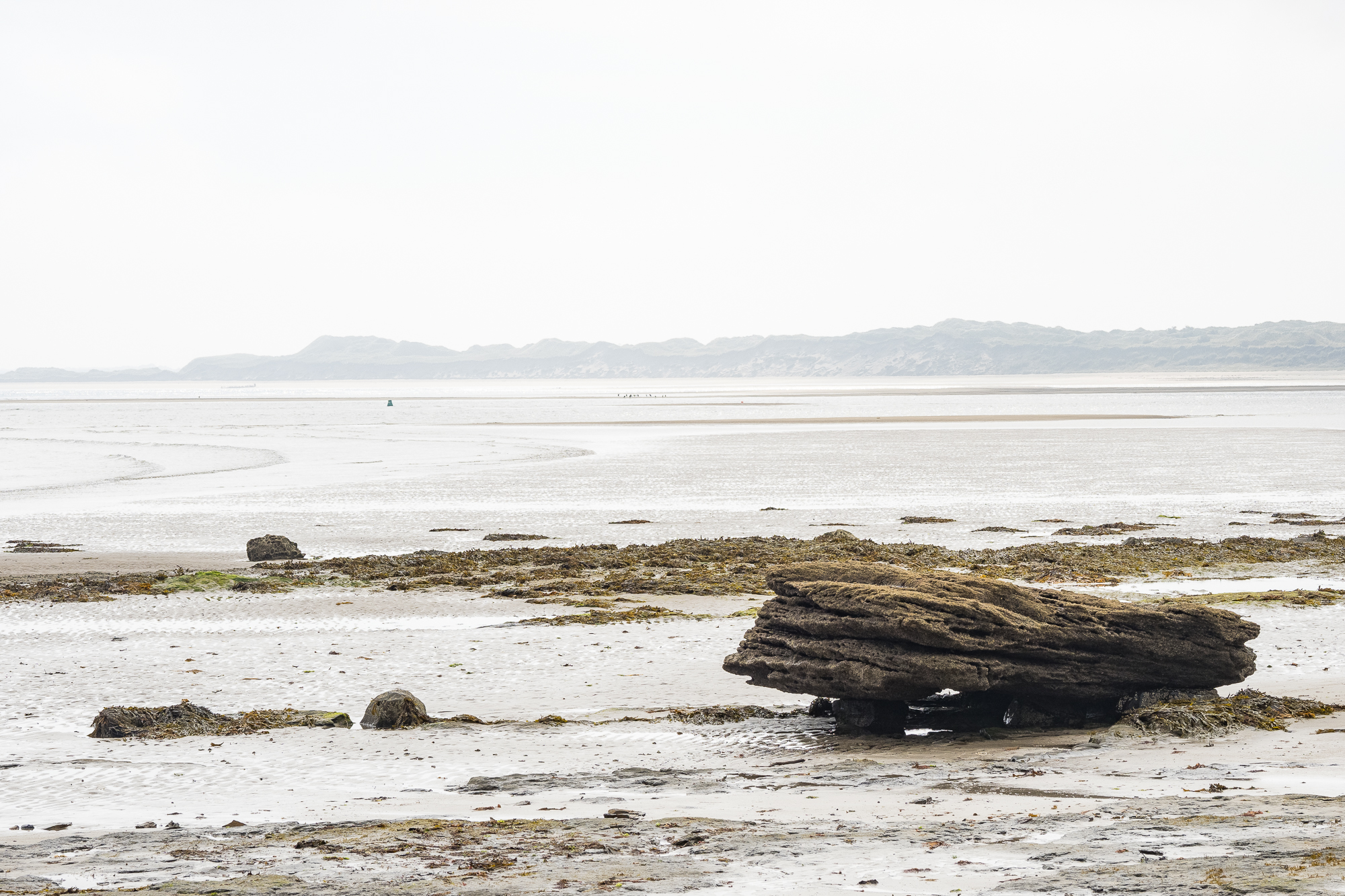
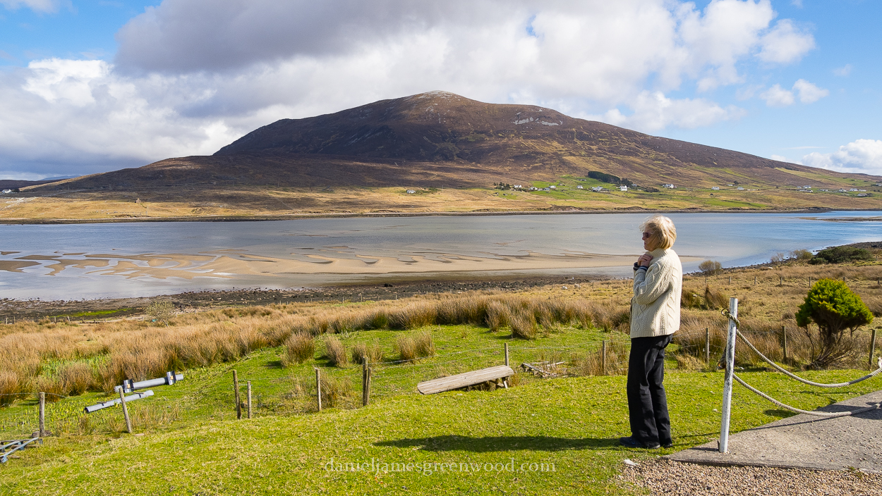
Looking across the bay to the dunes of Bartragh Island, special because it enjoys a lack of disturbance:

[T]he dune complex at Bartragh Island is relatively undisturbed and is considered to be one of the best in the country in terms of its naturalness and intact state

Irish Department of Arts, Heritage and the Gaeltacht

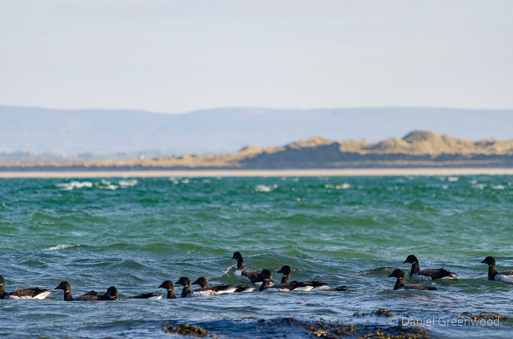
I first visited Killala with my parents around 2009. We returned again in March 2013 to witness a flock of Brent geese (above) out beyond the shore. Brent geese are said to flock here in numbers (200) that are of international importance. Who can blame them, it’s a wonderful wild place for a goose.

In June 2017 I came back for the first time without the parents, but with my wife. Then a large ‘plunge’ of gannets were bombing the water, it was incredible (above).

The outcrop of the rock formation that underpins the area can be seen exposed on the right. I have a closer look at this later on.

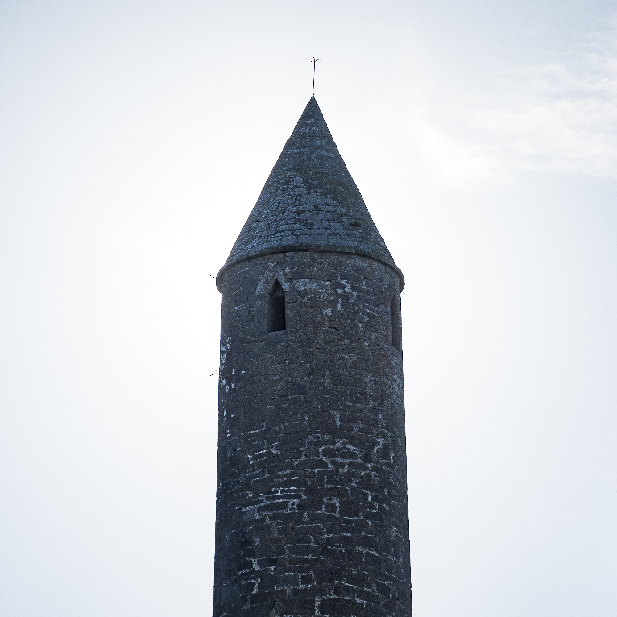
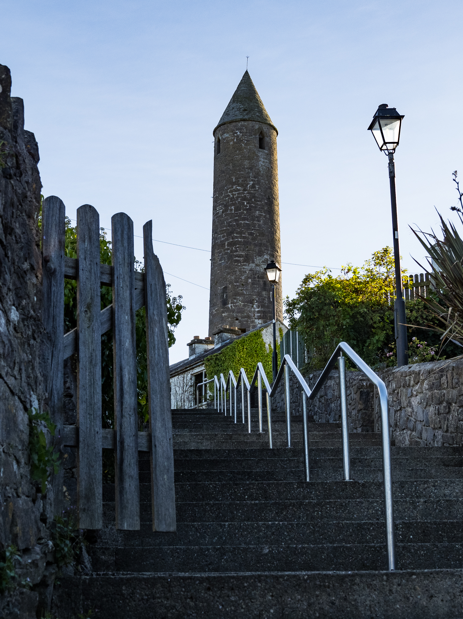
Killala’s round tower

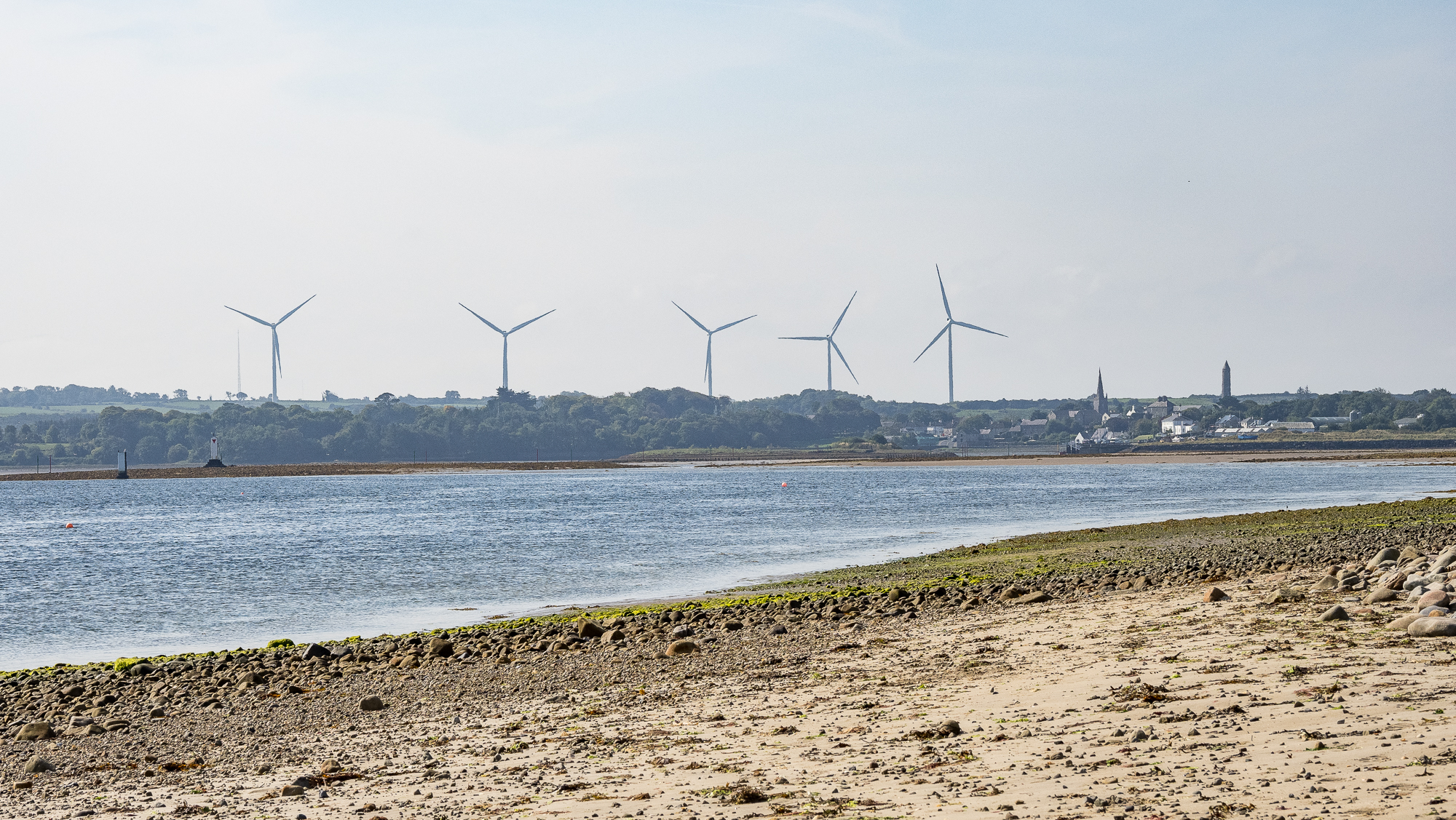
This is the view back to Killala. The wind farms are fairly common in this part of Ireland because it’s so windy. To the right is the Killala round tower:

Killala Round Tower is thought to have been built in the 12th Century. The tower stands 52 metres (170 feet) high. The original monastic foundation here possibly dates back to the 5th Century, when Saint Patrick appointed Muiredach as first Bishop of Killala.

https://www.northmayo.ie/round-towers-of-mayo/

The ancient tower can be seen around the centre of Killala, which has some interesting and traditionally colourful Irish frames, doors and signs.

The image of a tower like this will always remind me of the mighty Everton Football Club, whose crest holds a similar structure. Everton’s version is no tower, and was used to lock-up ‘drunks and criminals’. Killala’s tower is far more grand.

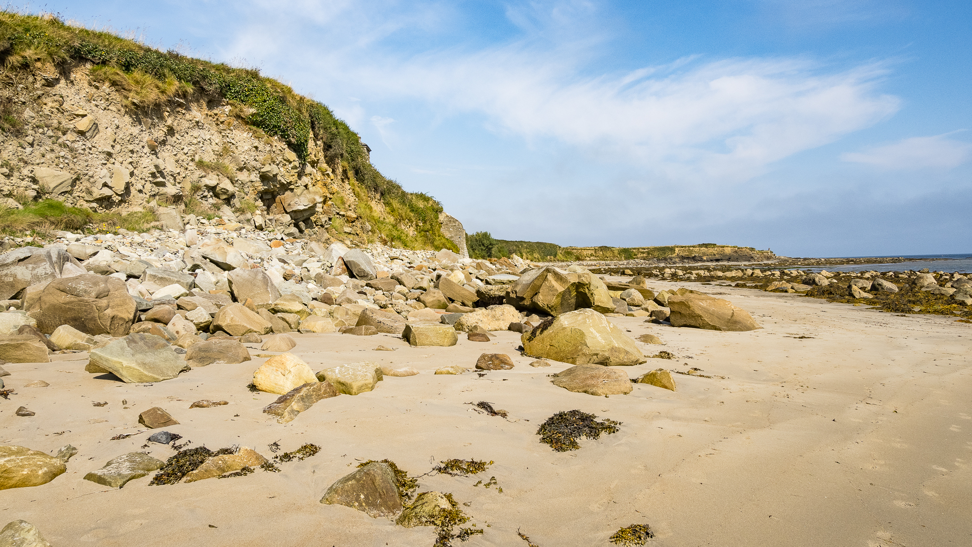
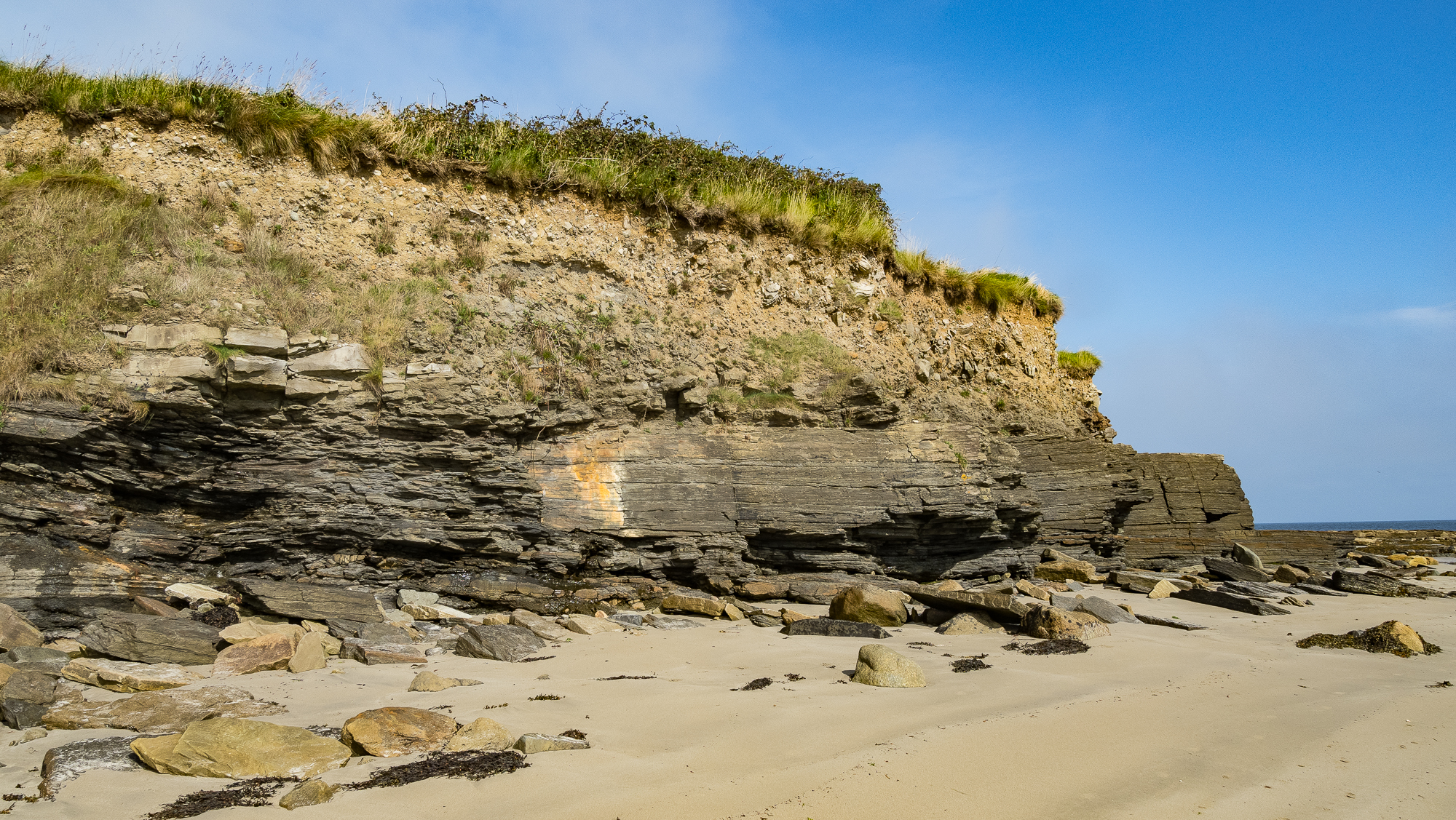
Back to the beach. The rocks here appear to have been removed from the land by waves eroding the hillside.

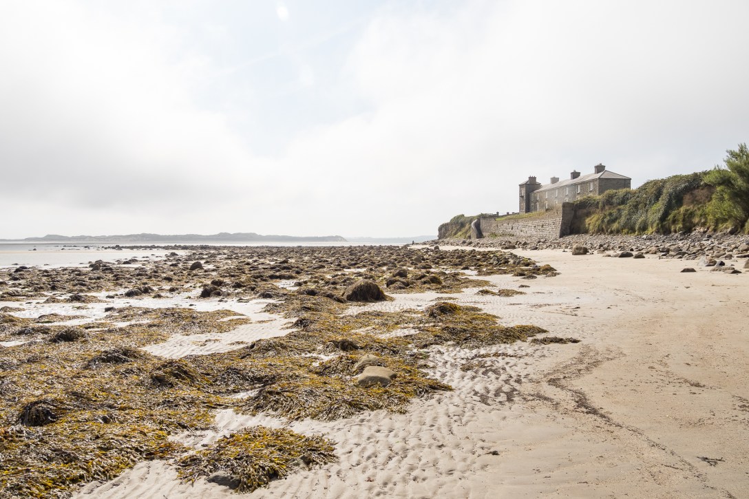
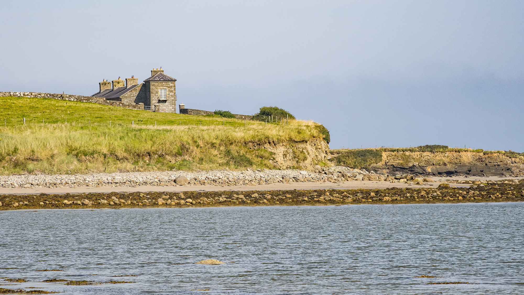
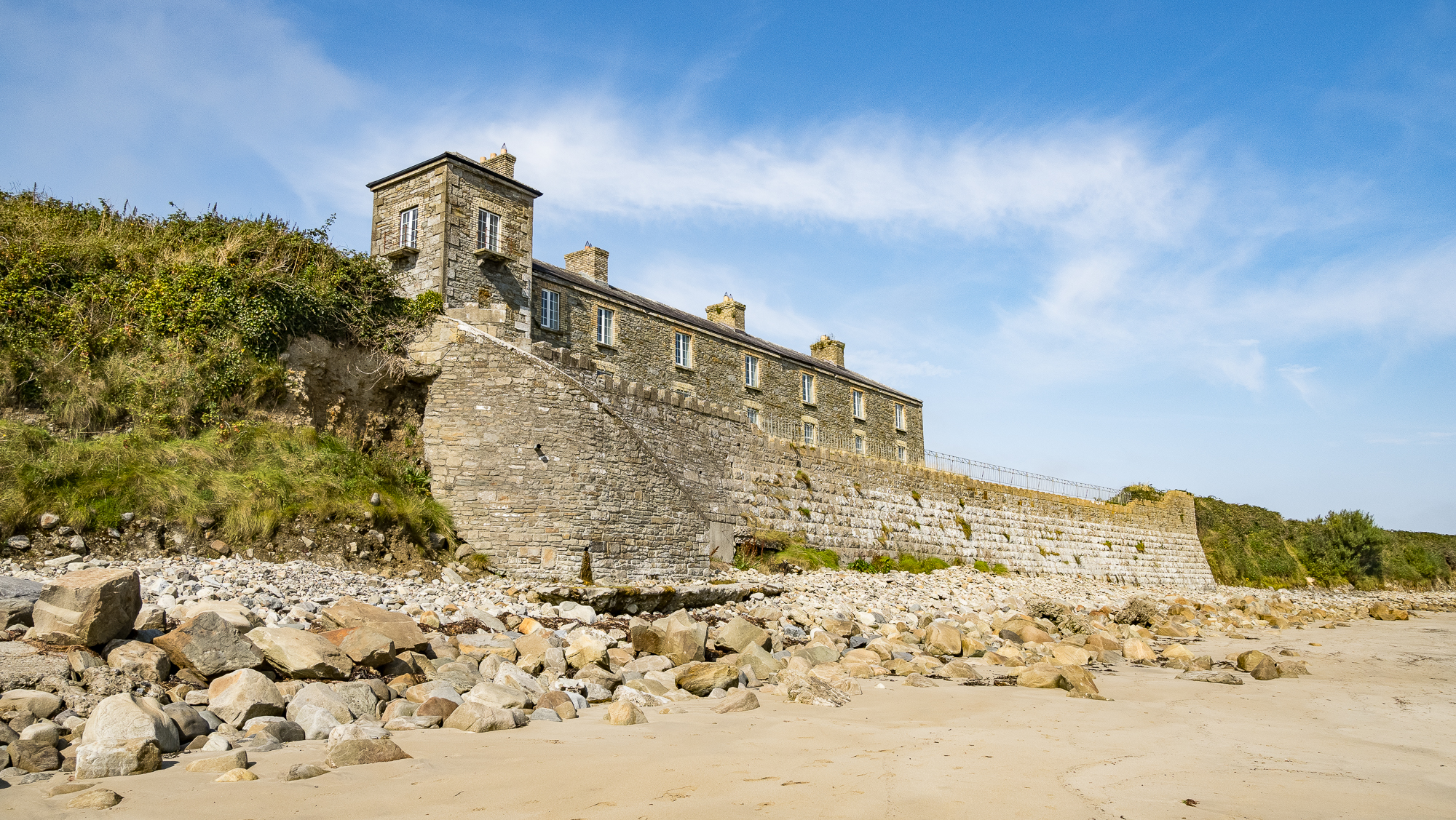
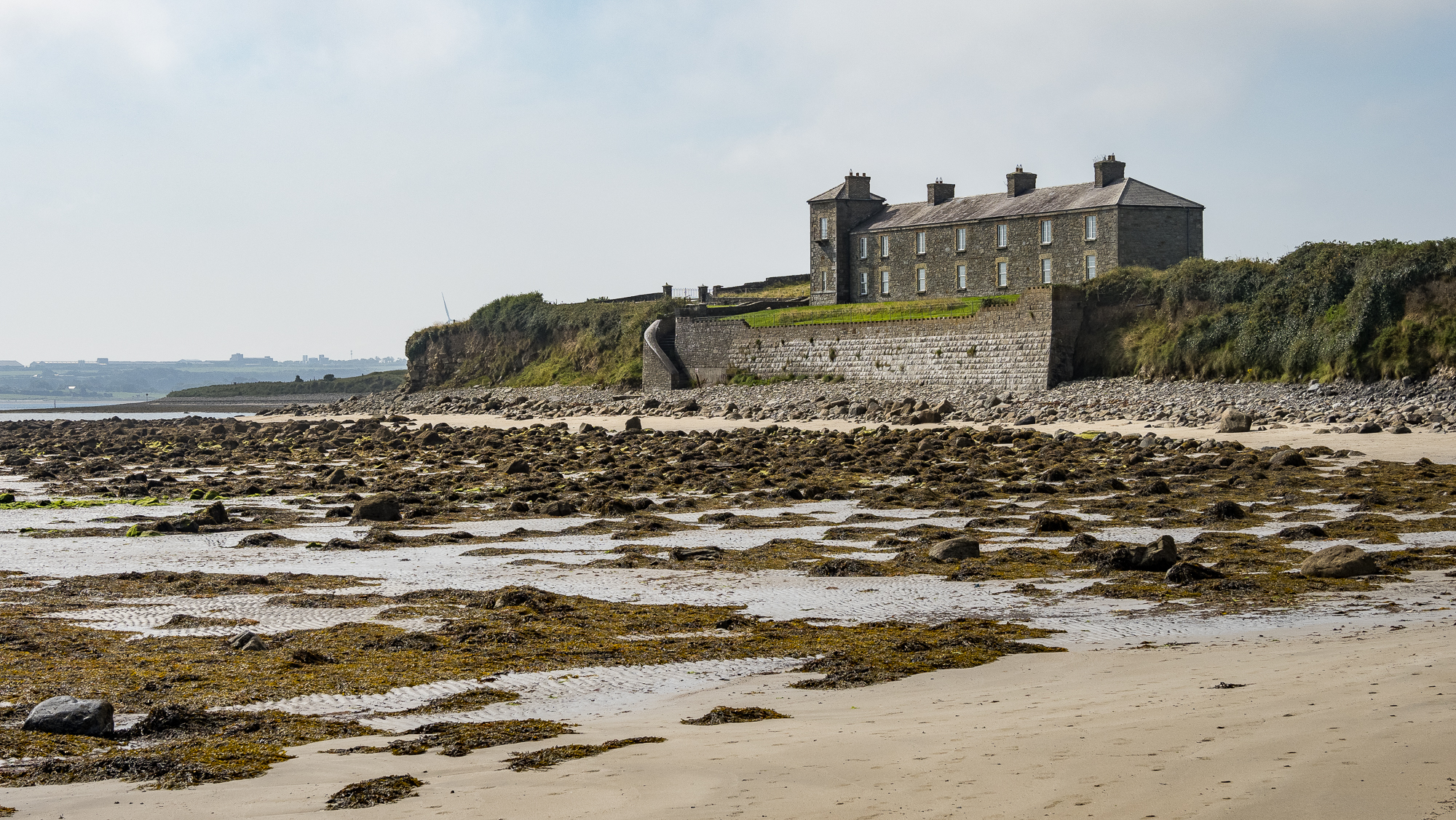
This building is the Ross Coastguard Station. It was built around 1880 but this blog thinks it fell into disuse around the time of the Irish War of Independence (1919–1921):

The year of the demise of the coastguard station is unknown but it was probably around the time of the War of Independence. Coastguards at isolated stations were generally seen as working for the British Empire and were thus extremely vulnerable to guerilla attacks.

Pete’s Irish Lighthouses Blog

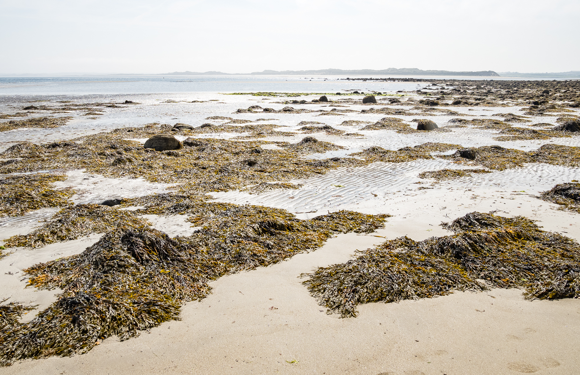
The beach feels different around this bend, more remote, wild and sea-weedy.

Bladderwrack across the shoreline. Visiting Killala Bay has allowed me to learn a little bit about seaweeds. There’s plenty of it there. This sight over tourist sunbeds any day.

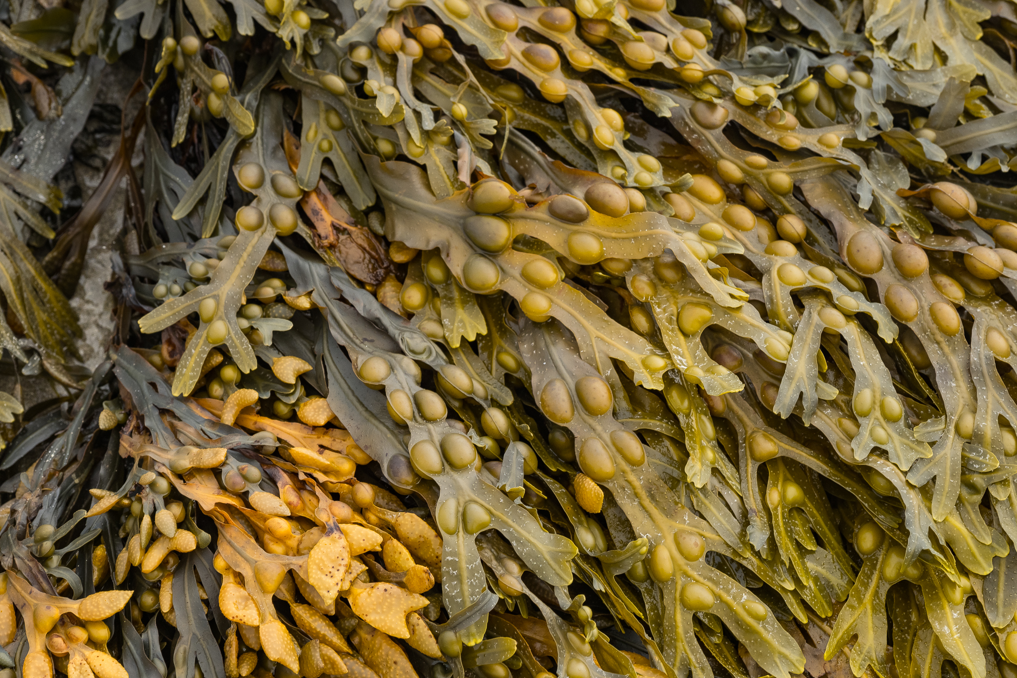
Up close the bladderwrack has a golden shade, the pods a bit like beans. Really these are pneumatocysts. They contain gas that allows them to float, meaning they can photosynthesise better than if they were further underwater.

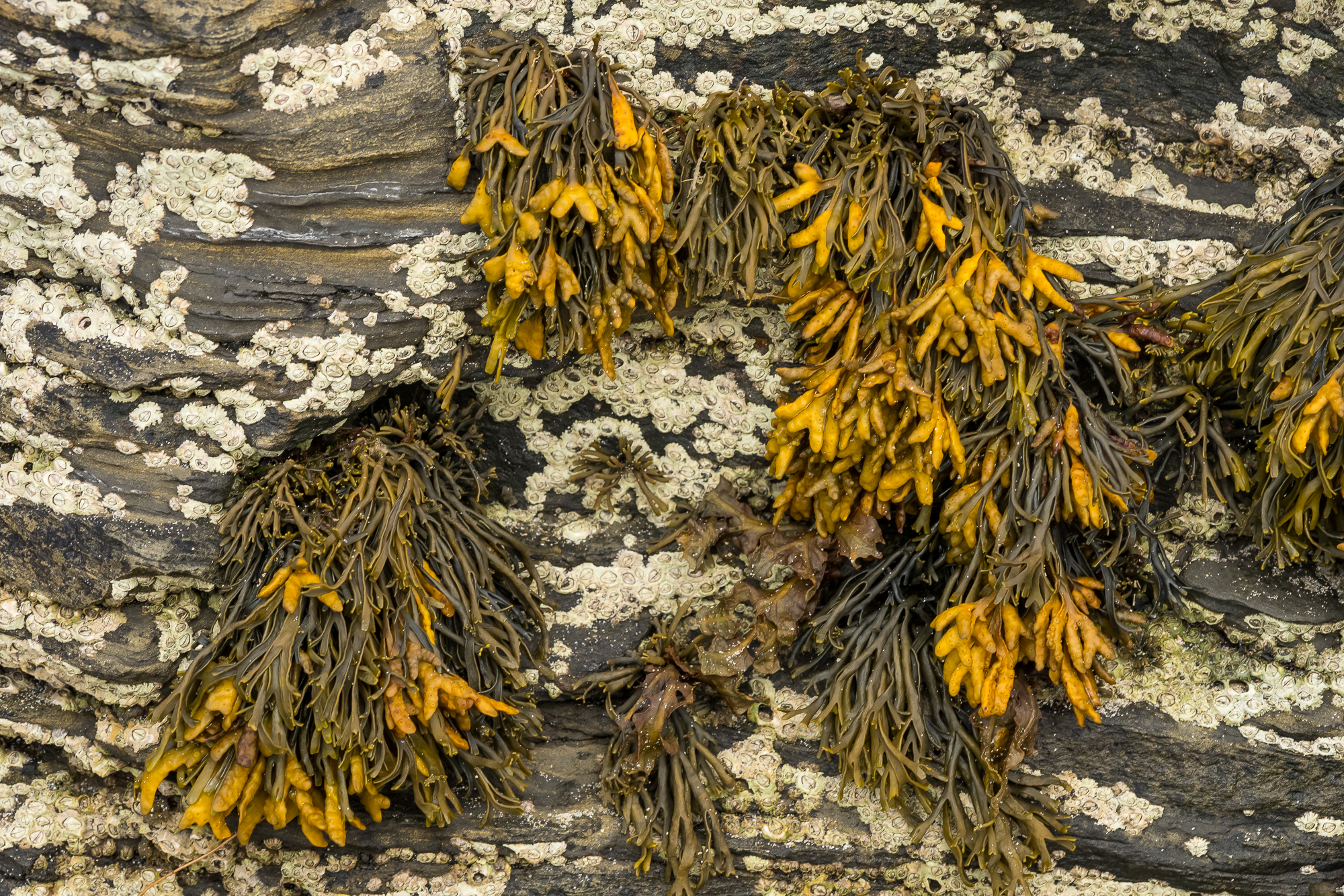
Bladderwrack is also where iodine was first extracted for medical purposes. They are described as ‘brown alga’, lacking the phloem (tissue that transport sugars) and xylem (tissue that transports water) that vascular plants like trees and flowers have. The growths among the seaweed are barnacles.

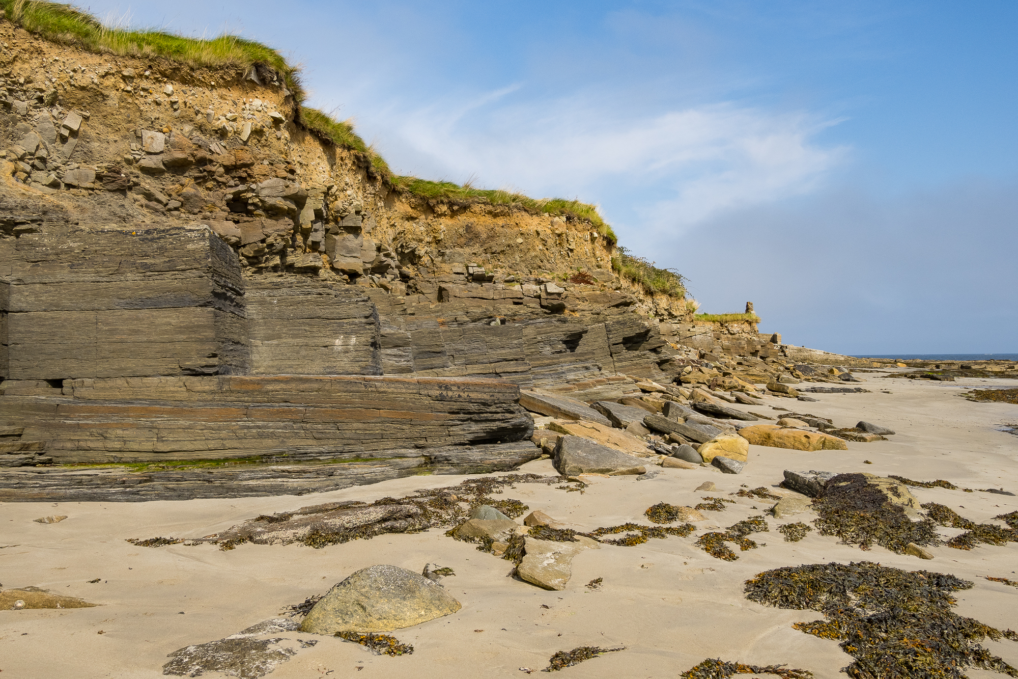
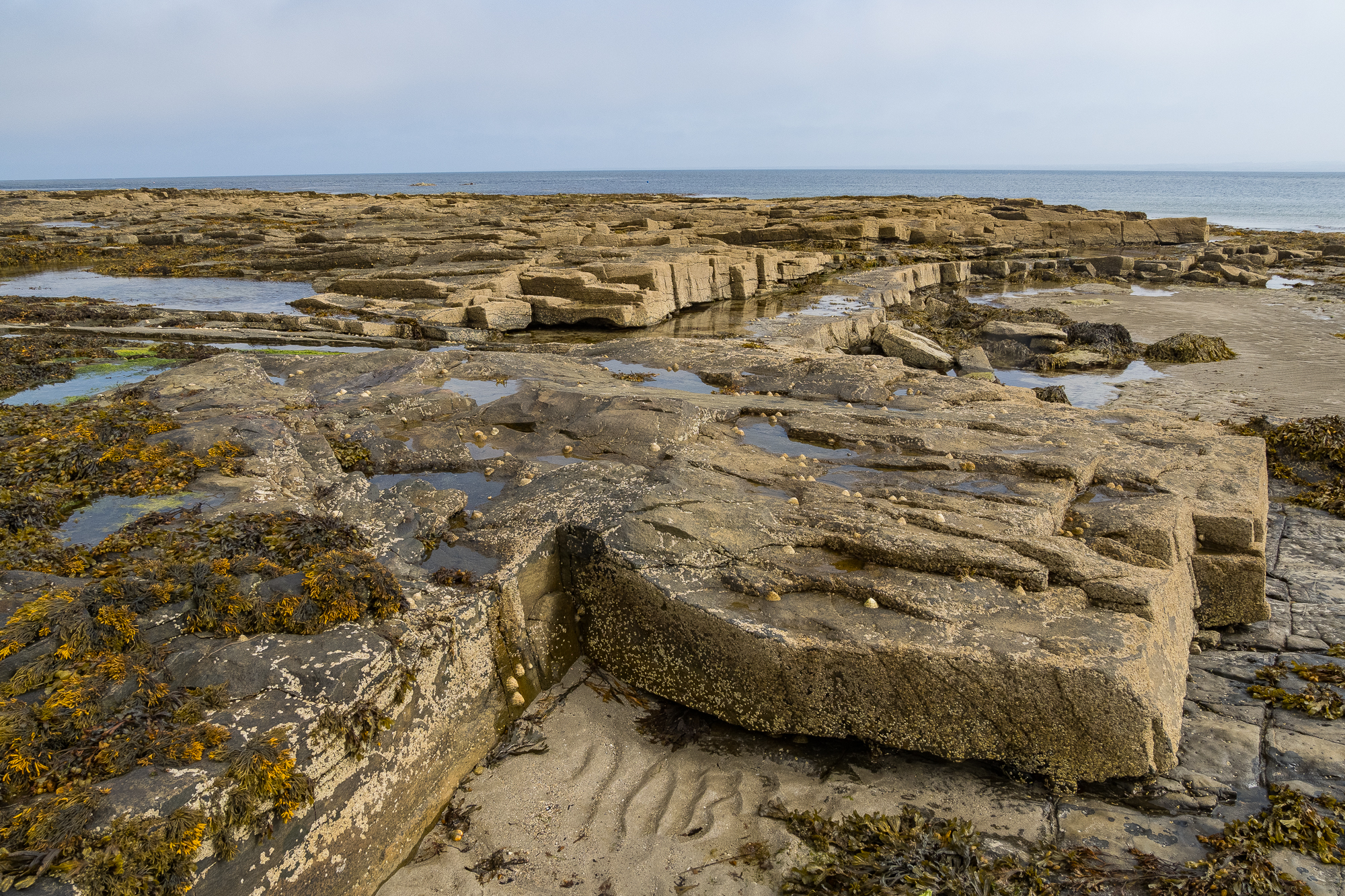
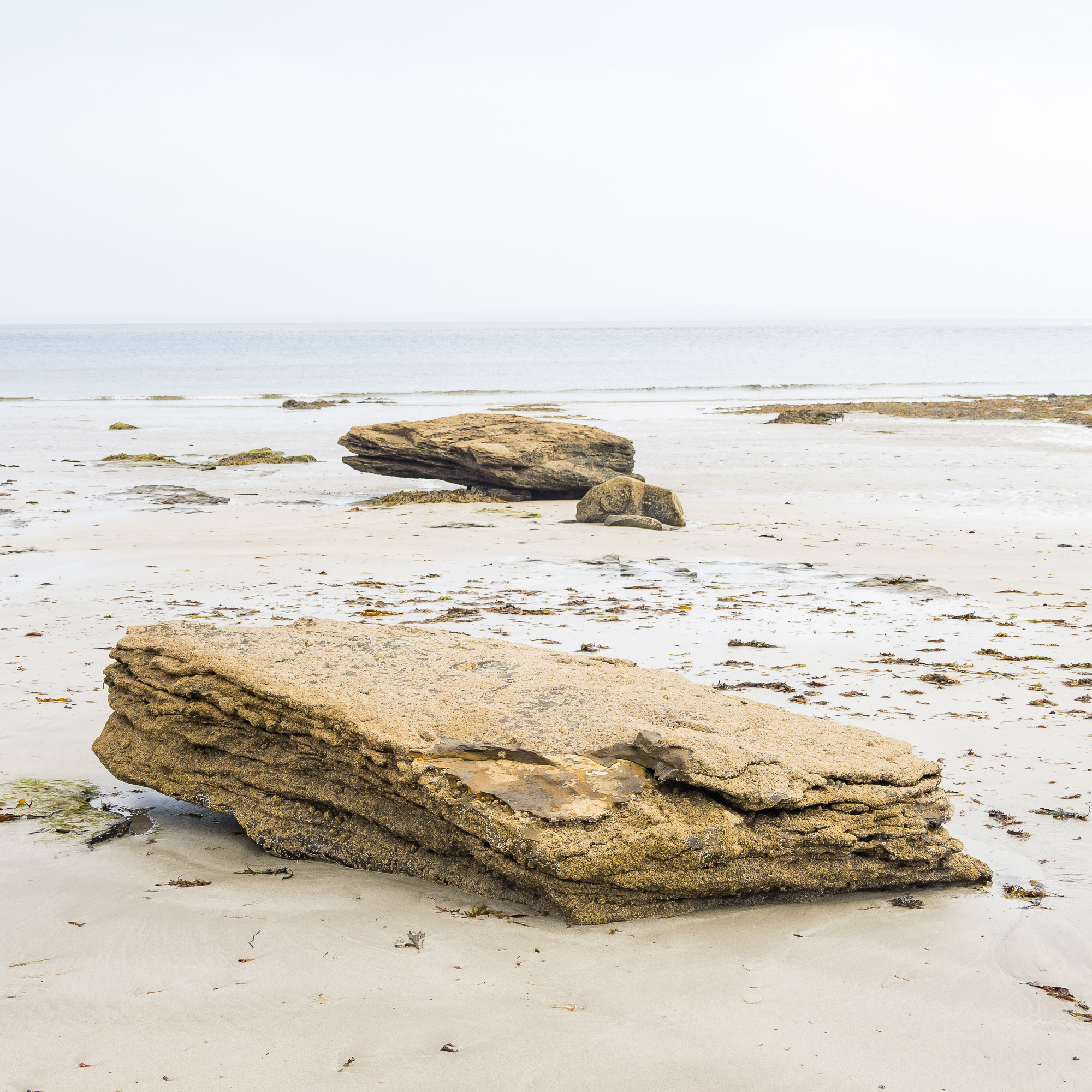
These exposed rocks are part of the Mullaghmore Sandstone Formation (I think, please correct me in the comments if I’m wrong). The rocks are sandstone, siltstone, and shale. I used this map of Irish Geology to try and identify the rocks.

As you walk around the beach the rocks spread out like layers of cake.

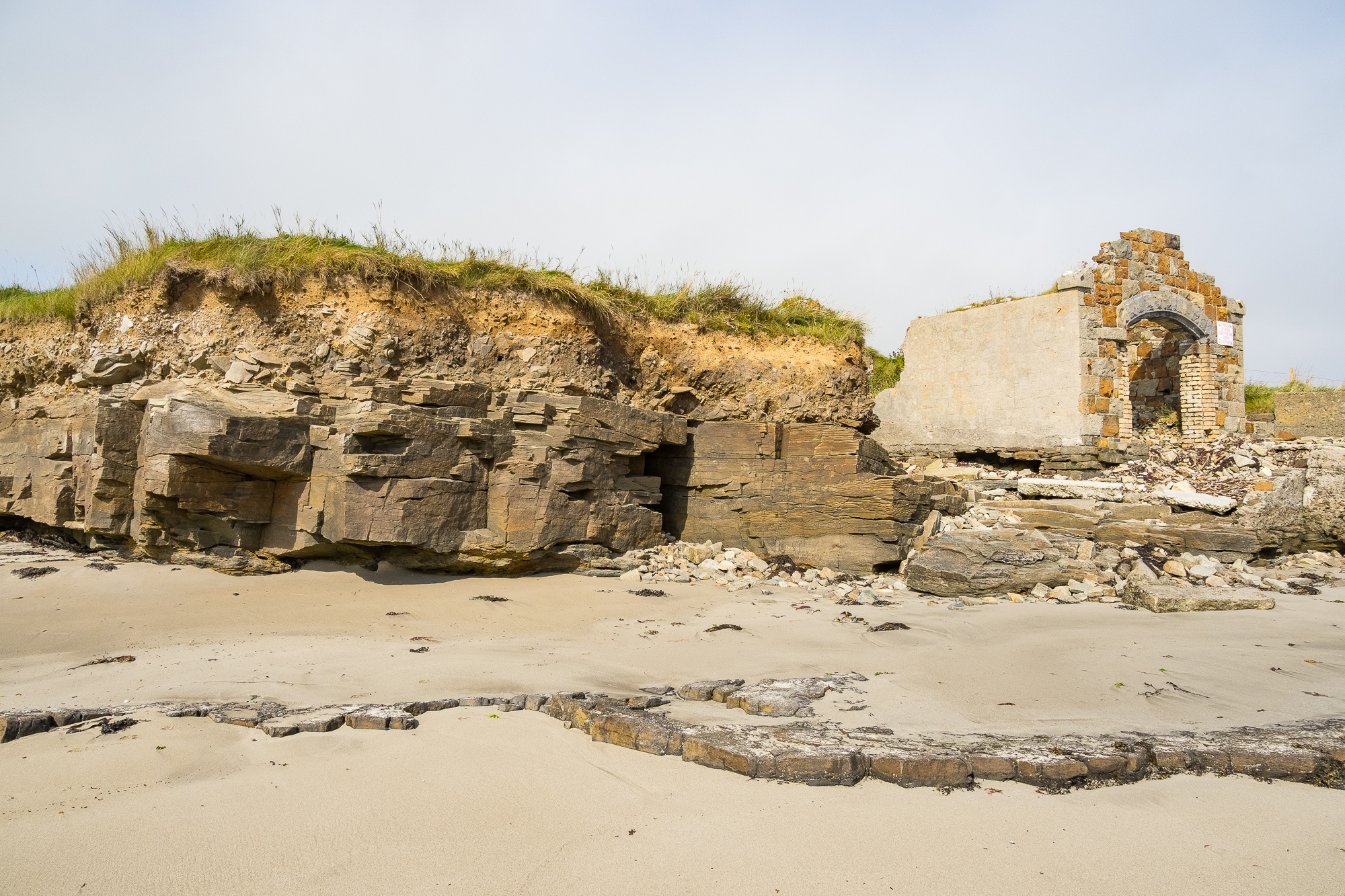
Eventually you reach the end of the formation and a meet mysterious stone ruin.

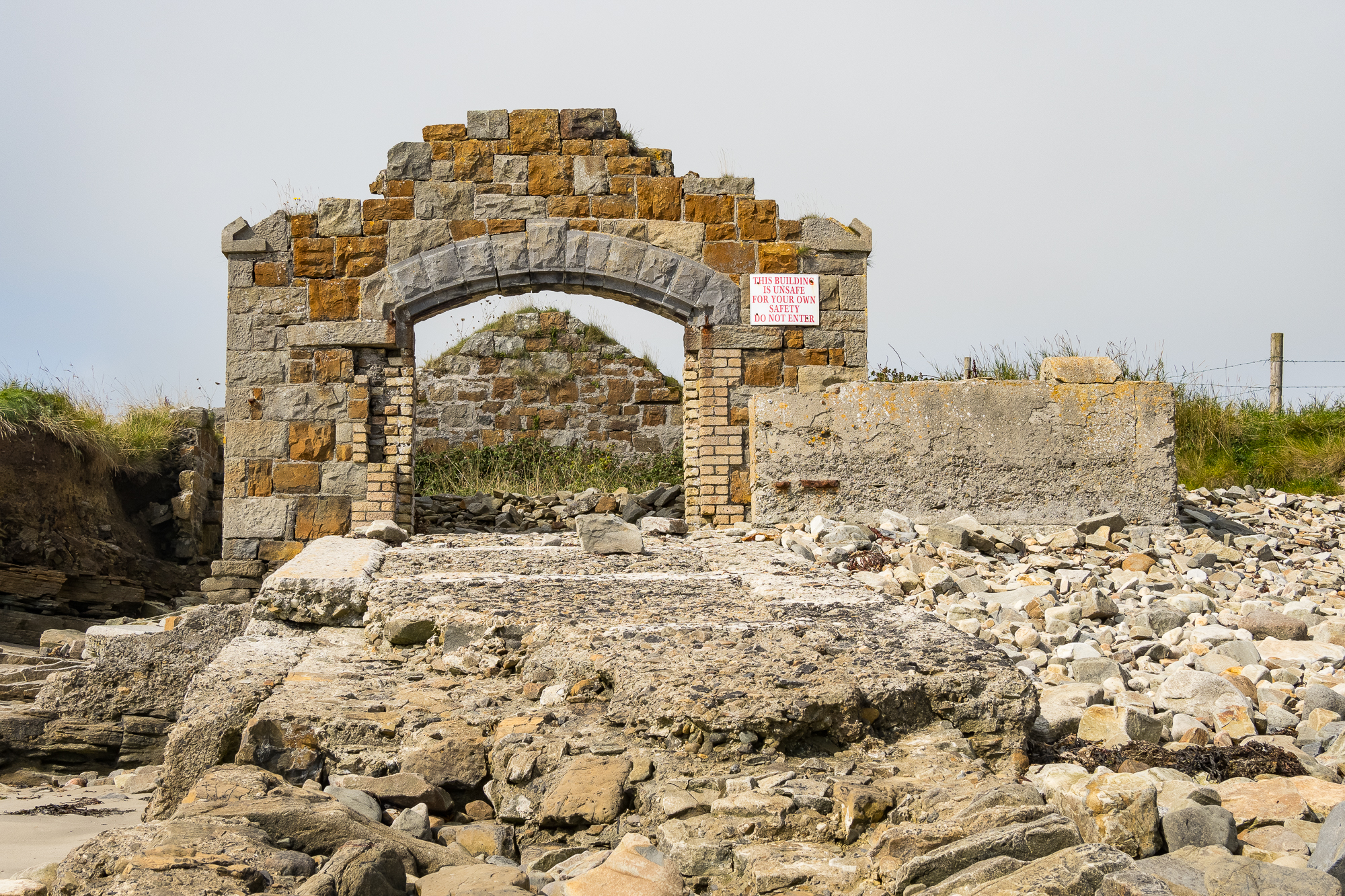
I’ve read online that this was a lifeboat station, which would make sense. It’s not surprising, there have been many reported shipwrecks in Killala Bay. Some of them are wrecked intentionally:

In 2025 a smugglers ship was sunk to create an artificial reef after a campaign by the local community. Asbestos and other polluting materials had to be removed from the ship’s structure before it could be sunk.

This photo shows a stone jetty that has largely been destroyed by the waves over the years. I can’t find anything else about this structure online. Do you know? Please add a comment.

The Mullaghmore Sandstone Formation (TBC) spreads out to sea, complete with seaweed and limpet shells.

Limpets are fascinating. I read a great article about them in British Wildlife (apologies to the Irish wildlife). Limpets’ teeth are the strongest material in the world. They are also able to change sex more than once. This species is the common European limpet, a type of sea snail. Above them are more barnacles.

There was a Country Diary entry in August 2026 where a writer lamented the sight of children killing limpets with hammers in south-west England, their parents unbothered. No such behaviour here, folks.

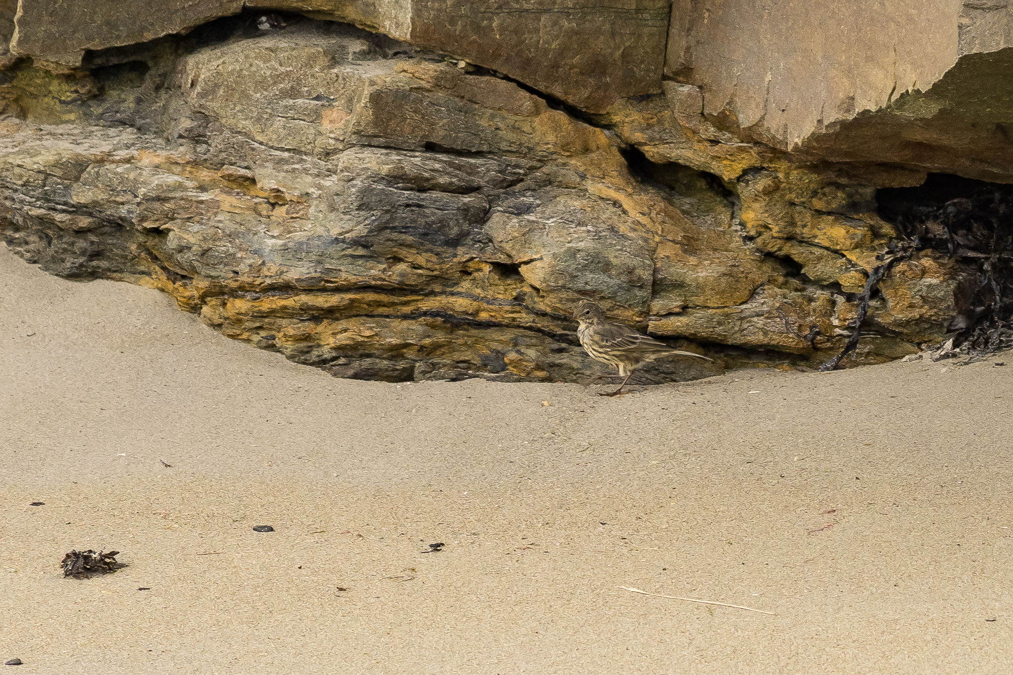
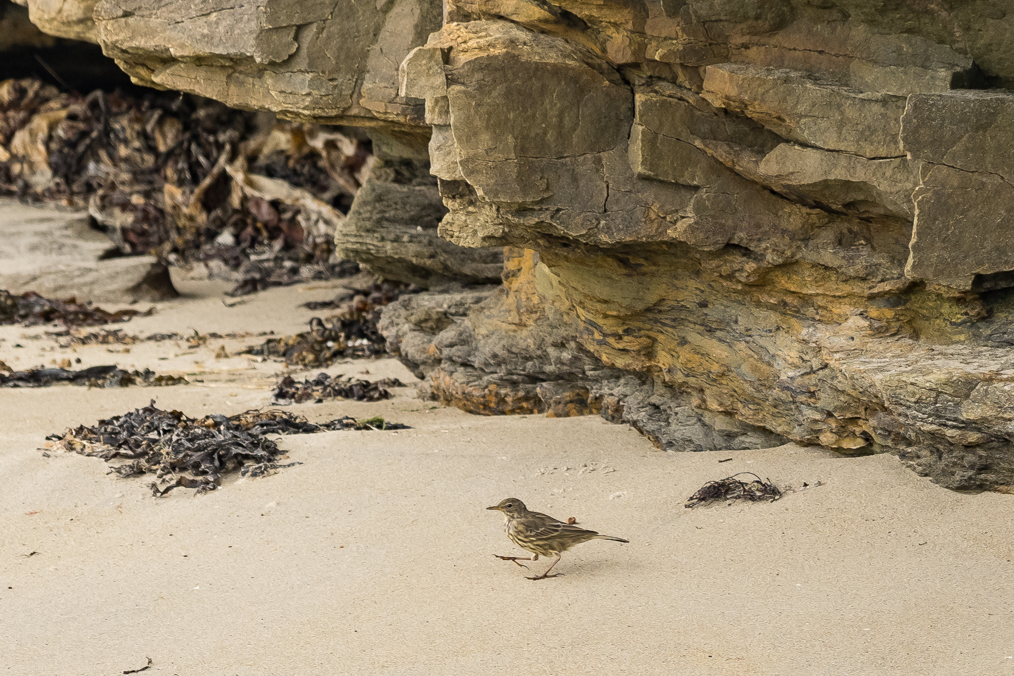
I’ve seen rock pipits on most visits to the area. They’re usually hopping between rock and sand.

Rock pipit on sand.

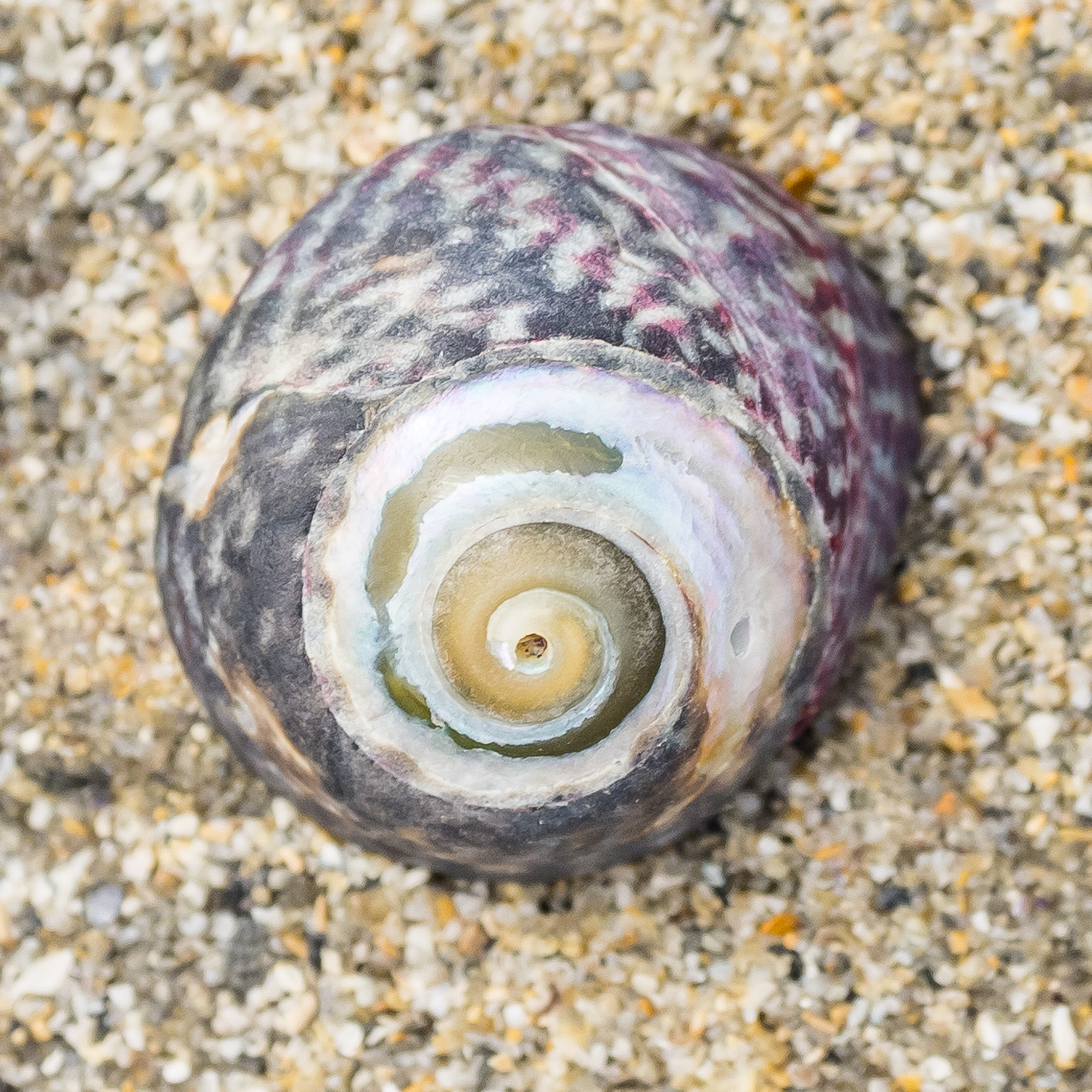
This bewitching snail shell belongs to a purple topshell (Steromphala umbilicalis). Looking at the map, they appear to have a very westerly coastal presence, found as far south as Morocco.

Rock on. Thanks for reading.
More posts about Ireland:

Spring-summer 2026: a deeper understanding

Welcome to my seasonal meltdown.

Regular readers (both of you) may be aware that my blog has become slower in posting, but the posts I am putting out are longer and reaching new depths. Not of depravity, but with more research and history included.

It’s something I spend a fair amount of time thinking about – what is the point of taking all these photos and writing all these words – what is it all for?

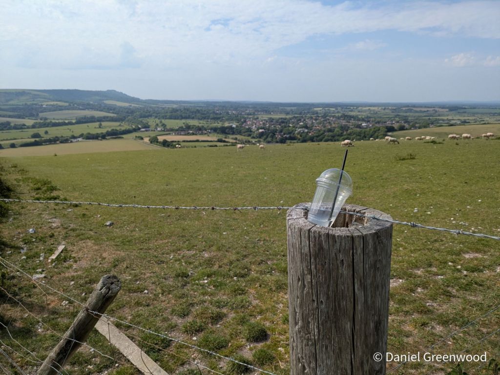
I’ve spliced in photos from a phone camera project I have called ‘rogue vessels’, to make what I’m about to write sound less pretentious.

Photoblogs help me in the act of unlocking a landscape™️, peeling back the layers of history, culture and industry, whatever the scale, however far I get with it.

Photography is extremely effective in capturing a seemingly innocuous scene which, in fact, contains multitudes. This is not a boast of what I am putting together but the richness of the world around us. Photography is not just an artform but scientific, too.

The still image can be a pushback against the overwhelming barrage of video, AI-guff, and all-out nonsense that Facebook, whatever Twitter has become, and TikTok churn out. Stills can engage your brain and allow you to think for yourself in ways short video doesn’t.

So will photoblogs save the world? Mine won’t, but they can provide a deeper understanding for both the writer and the reader, which surely is somewhere we all need to be going in this age of political entrenchment, outrage, and mainstreaming of extreme ideology.

Below are some recent photoblogs, many of them from Ireland. I have so many interesting blogs to come in the next year, I hope they provide you with a glimmer of light (as they do for me).

What I’m writing – recent blogs

I’ve been posting my photos from my 2024 visit to Ireland which has proved surprisingly fruitful. I’ve posted several blogs about the trip and there are more to come!

I’ve learned a lot about Dublin Bay from writing this post, and have even started reading James Joyce’s Ulysses to keep the bay in my life. Yes, I have found the novel very hard going, and it’s on pause at the moment while I try and understand what is actually going on in it.

This is a post I’ve been thinking about for quite a while. I needed more time at Rathcroghan, rather than a pit stop, to capture more of the landscape and to learn more about the dynamic Celtic and pagan history of the place.

I’m enjoying learning about the coasts of North Mayo through these posts. Downpatrick Head is a place I had wanted to visit for a long time.

Closer to home I delved into 2024 again to share some images from a lovely summer’s day in the South Downs.

What I’m reading

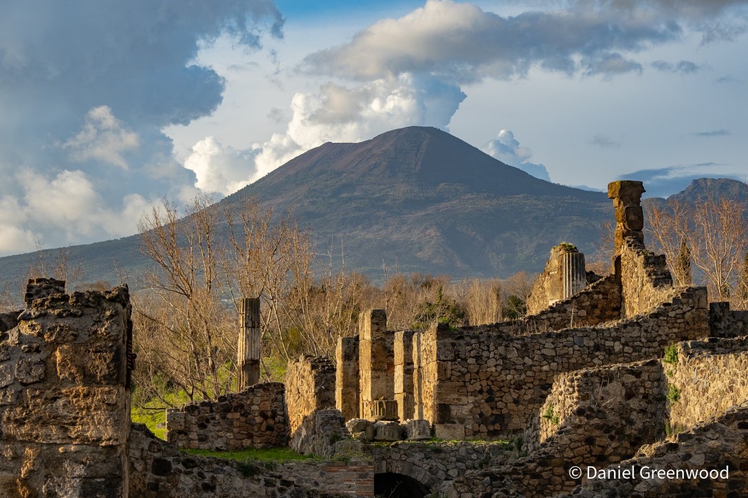
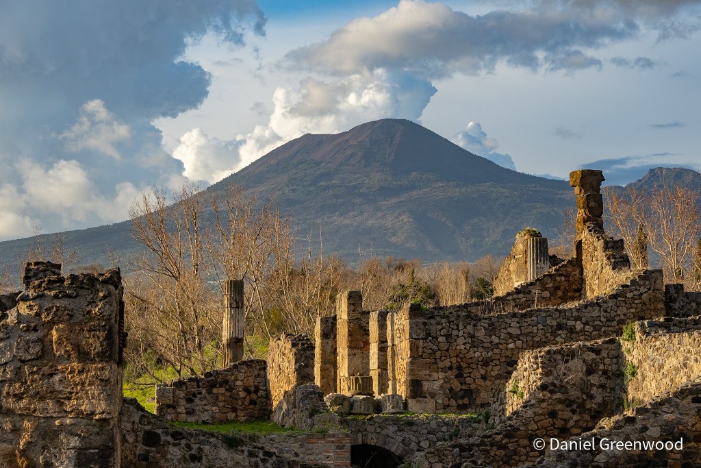
Mount Vesuvius as seen from Pompeii

Below is a selection of what I’ve managed to read cover to cover in recent months:

  • Pompeii – Mary Beard (above, February 2026). I visited Pompeii for the first time in February and have a post or two in mind for this wonderful place. Mary Beard’s interpretation of Pompeii’s history is essential reading.
  • Pax – Tom Holland. I was in total Roman mode when I got back from Italy (as in reading, not militarily), and finally got round to reading one of the more famous books from Tom Holland. I once met and photographed Tom at Sydenham Hill Wood when he was supporting London Wildlife Trust. Lovely man. I’ll be reading more of his work in future. Congratulations, Tom.
  • The Great Irish Famine: A History in Four Lives – Enda Delaney. I borrowed this book from my local library and tore through it with my eyes. The Great Famine of 1845-52 directly impacted my ancestors in Mayo so it’s something I am keen to educate myself about, and it’s an area of Britain’s colonial past we should know more about. It’s a complex subject, but there is plenty of evidence here to argue that English politicians saw the Famine as divine punishment for a people deemed beneath them. I learned that many more people died because ideology and prejudice deterred people in power from taking action. In some places, people even profited from it.

What I’m hearing

I actually went to a gig in June! Ye Vagabonds are a family band from Co. Carlow. The band were fantastic live, the final leg of their tour promoting their new album All Tied Together (January 2026). The songs are lovely.

What I’m watching

Thanks to a wonderful Blindboy podcast episode I learned about the work of David Keohan, who is now famous for reigniting the interest in Irish stone lifting. This short film nicely encapsulates how David goes about his work to rediscover old stones in Ireland, and to lift them again after several decades of mostly being stuck to the ground. David also has a book out called The Wind Beneath the Stone.

Thanks for reading.
Rathcroghan: Halloween’s Irish origin story

Rathcroghan, Roscommon, Ireland, September 2024

This short post shows some of the images I snaffled from a pit stop at the ancient Celtic landscape of Rathcroghan, while travelling from Mayo to Dublin.

Apologies if I mangle any of the Irish mythology, it is not a subject I’m at all familiar with.

Rathcroghan is one of the most significant archaeological and cultural landscapes in the whole of Ireland, and has influenced western culture in surprising ways. I definitely hope to go back to visit the museum and explore more of the landscape itself.

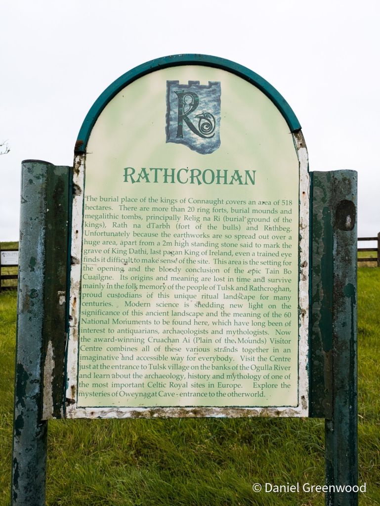
Rathcroghan, Cruachan Aí, is known as the Ancient Capital of Connacht, where the festival of Samhain (Halloween) is said to originate. This majestic landscape is the oldest and largest unexcavated Royal Site in Europe.

Rathcroghan Visitor Centre

The home of Samhain (“Halloween”)?

The modern Halloween is inspired by Samhain, an Irish festival taking place on the evening of 31st October to sundown of 1st November. It could be a product of Rathcroghan folklore. Samhain celebrates the end of the harvest period and the beginning of winter. It’s celebrated on the evening of the 31st October because Celtic days begin and end when the sun goes down.

I didn’t have a lot of time so couldn’t visit the Owenagcat/Oweynagat cave (also ‘Cave of the Cats’) (very good pictorial tour here). The cave is where Samhain may originate from.

The story goes that every 31st October at nightfall monsters would emerge from the cave to kill livestock. It’s a time when the living world and that beyond death was at its closest (something you also hear about the Winter Solstice).

The cave is said to be “Ireland’s Gates to Hell”.

While not hellish, there is a melancholy to the sight of abandoned cottages across Rathcroghan, something that is so commonplace in Western Ireland (and which I love to see). I wonder if this cottage has older parts to it, where the tree (willow, maybe) is growing where the roof used to be. This is a bit like seeing an abandoned house on the site of Stonehenge (something you don’t see!).

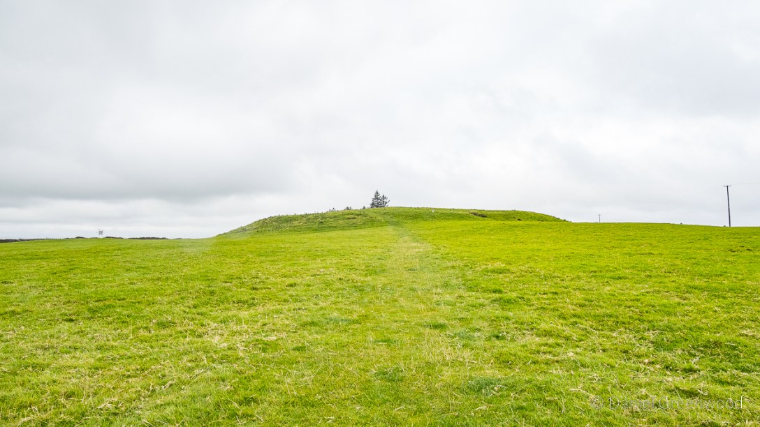
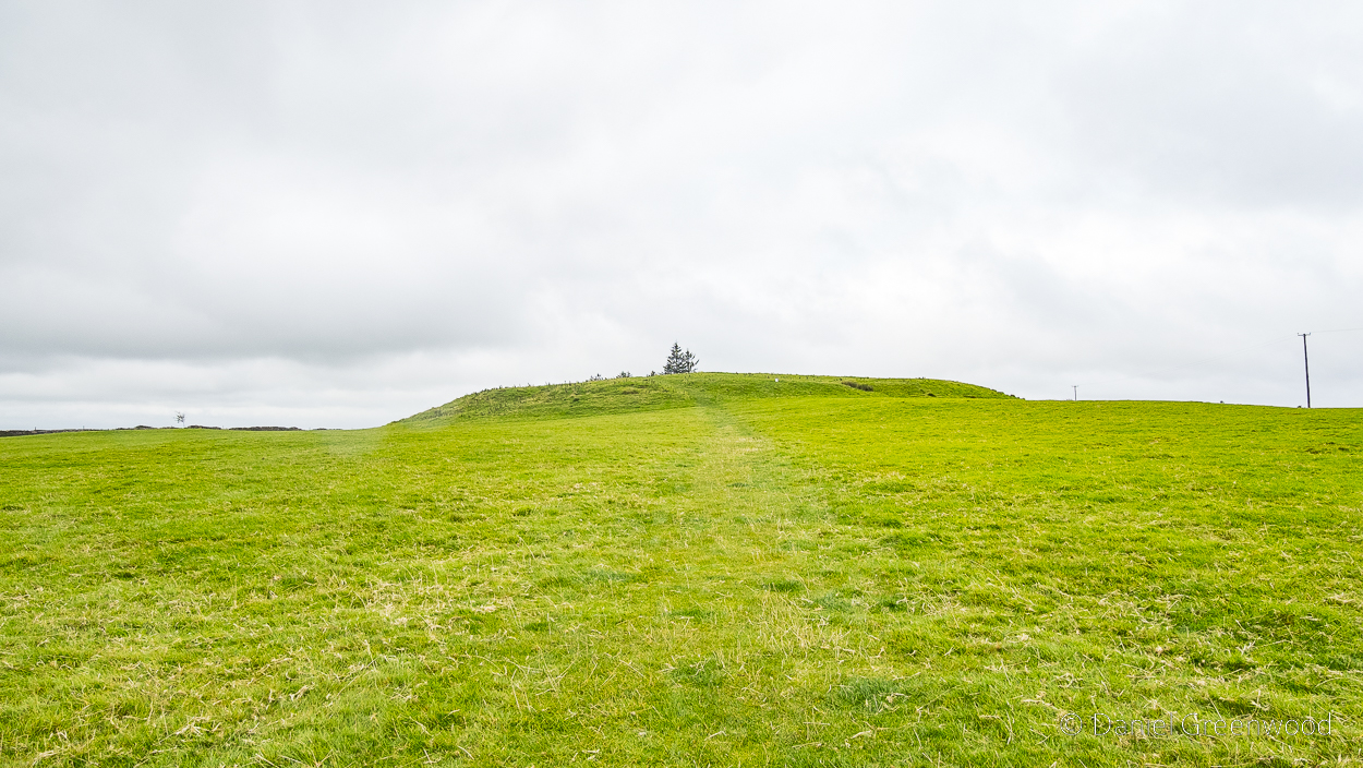
The ebb and flow of the archaeology is likely visible here on the left where the mound can be seen. The openness of the landscape shows the advantage of the location – you can see far and wide, and also be seen.

Rathcroghan is said to be one of Ireland’s most important Pagan cemeteries. The visibility of the site reminds me of the South Downs, and how one archaeologist once described it as a hundred-mile-long cemetery, visible to all in the valleys below.

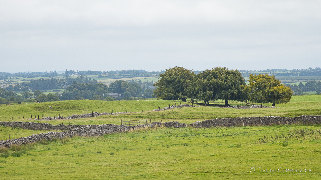
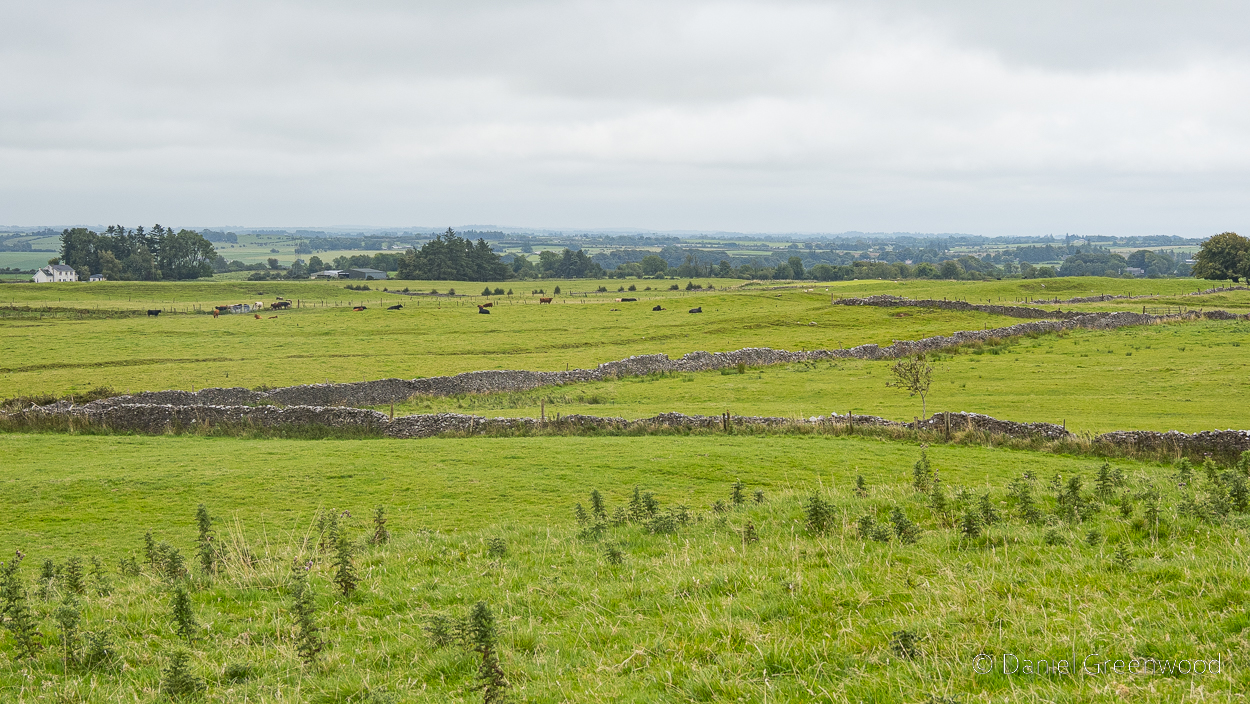
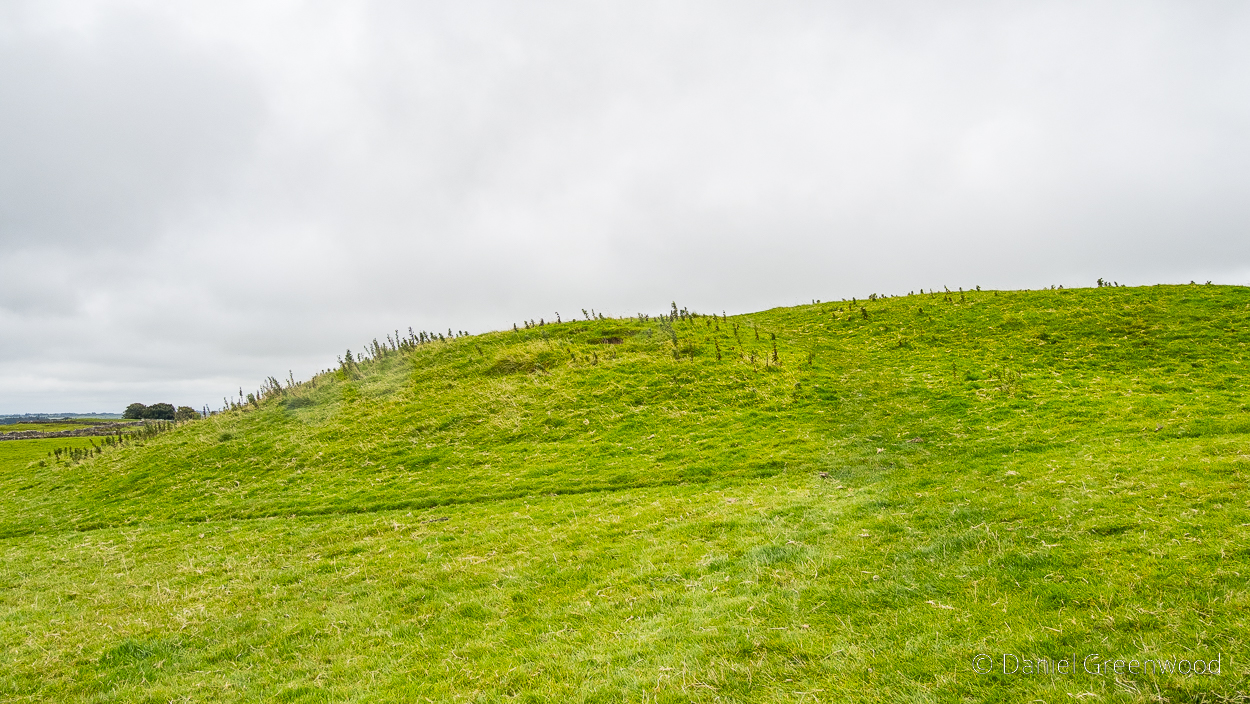
I don’t know about the age of the stone walls but presume they are post-medieval. You can see the land is farmed with cattle. The nettles in the foreground are the lip of the Rathcroghan Mound – seen in the next image.

The Ancient Capital of Connacht

The Rathcroghan Mound has lost a lot of its grandeur over the millenia, but it still has an allure. And that’s coming from someone who knows very little about the history of the place.

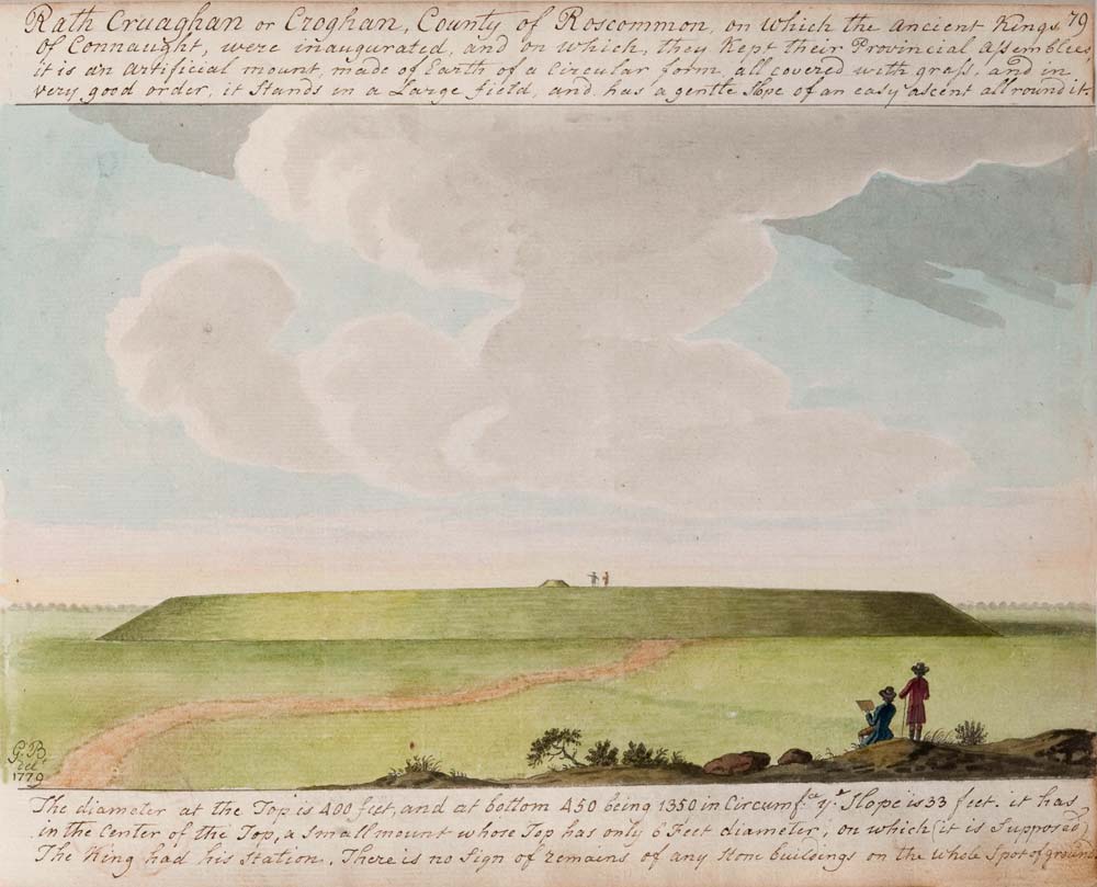
“Rath Craughan or Croghan.” Gabriel Beranger, 1779. via Voices from the Dawn

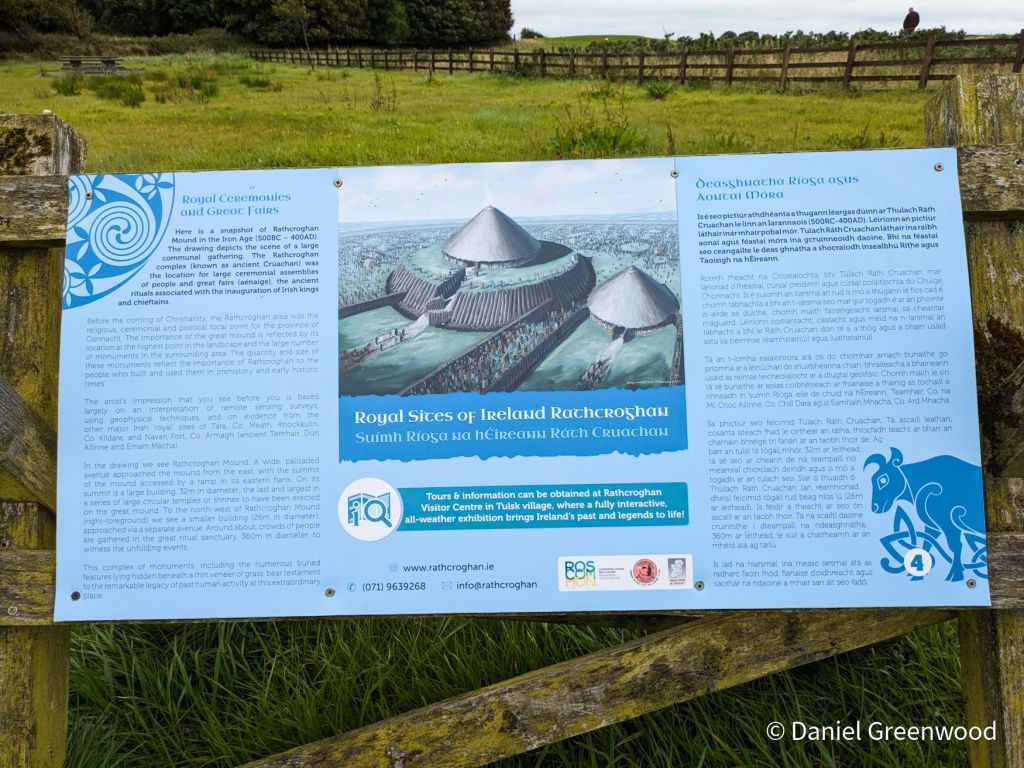
Apparently the mound looked like this in 1779 – which is quite hard to believe!

Now that’s more like it! For those who don’t know, Connacht is today one of Ireland’s four provinces which includes Mayo, Galway, Sligo, Leitrim and Roscommon. In ancient times it was a Kingdom. The ancient  Kingdom of Connacht’s capital (until it was abolished in 1451) was Rathcroghan. People would have travelled from far and wide to visit Rathcroghan, having been described as home to one of the “great fairs of Ireland”.

Not anymore, unfortunately. Everyone’s at home watching short videos on their phones.

The desire-line that people take up onto the Mound can be seen through the centre-right of the image. The diagonal line is probably a cattle path.

Davsca at English Wikipedia, CC BY 3.0 https://creativecommons.org/licenses/by/3.0, via Wikimedia Commons

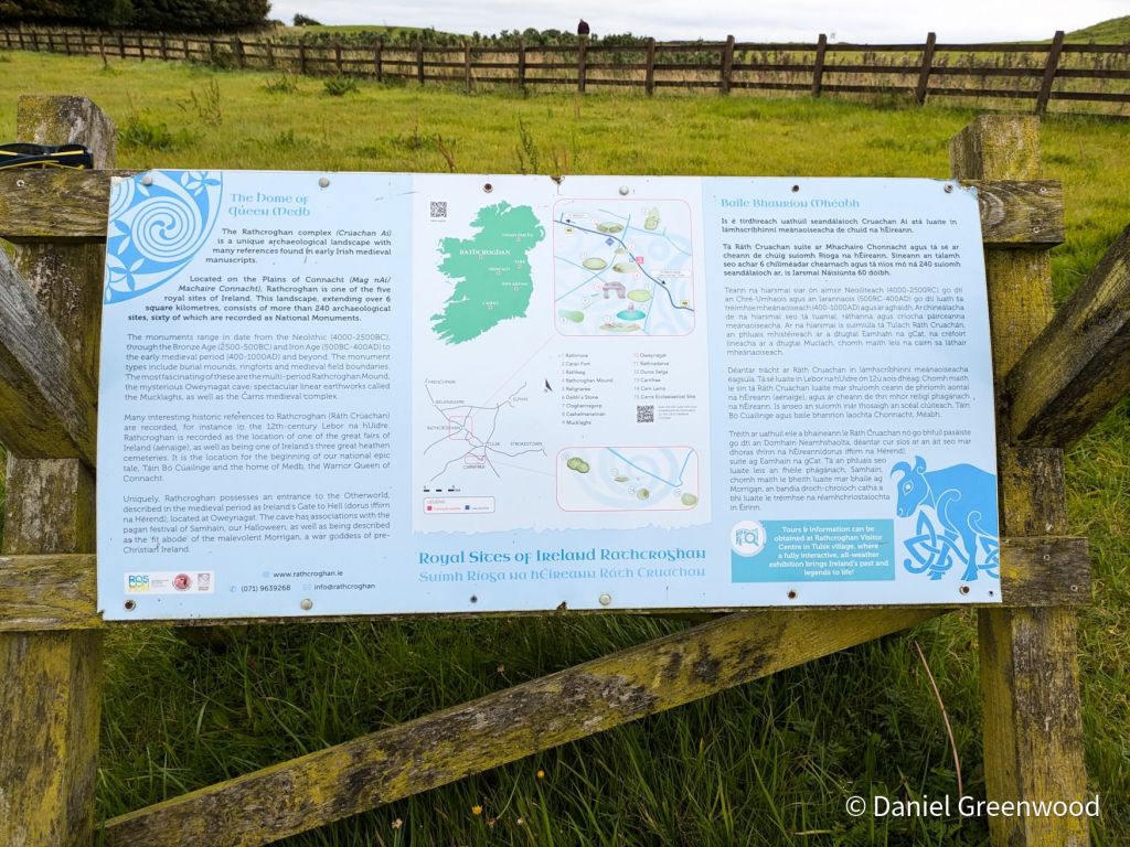
This map shows where the key features of the site are found. The car park is right beside the N5 on the southern side.

Rathcroghan is a total mystery to me, so I will have to head back for a better look in future.

The Rathcroghan Visitor Centre is nearby Tulsk where you can book a tour of the archaeological site: https://www.rathcroghan.ie/

Thanks for reading.
Downpatrick Head on the Wild Atlantic Way

North Mayo Coast, Ireland, September 2024

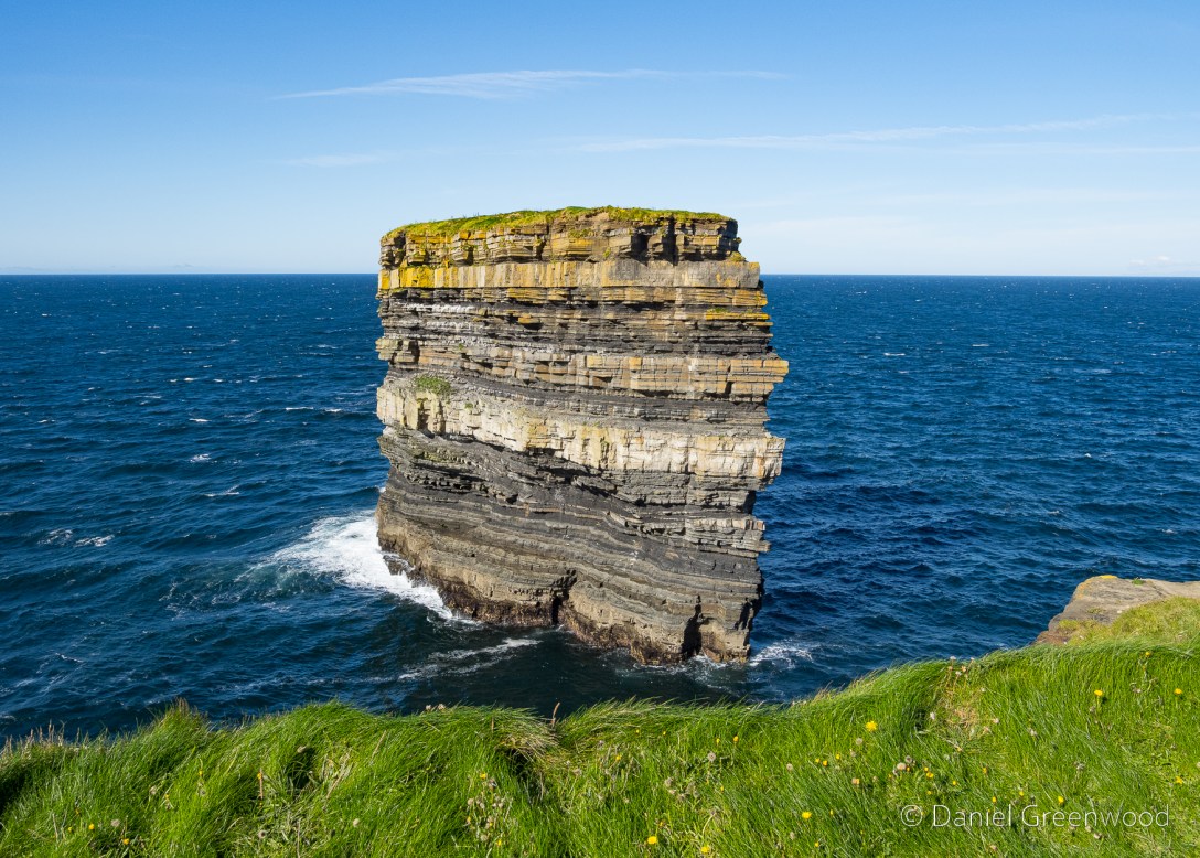
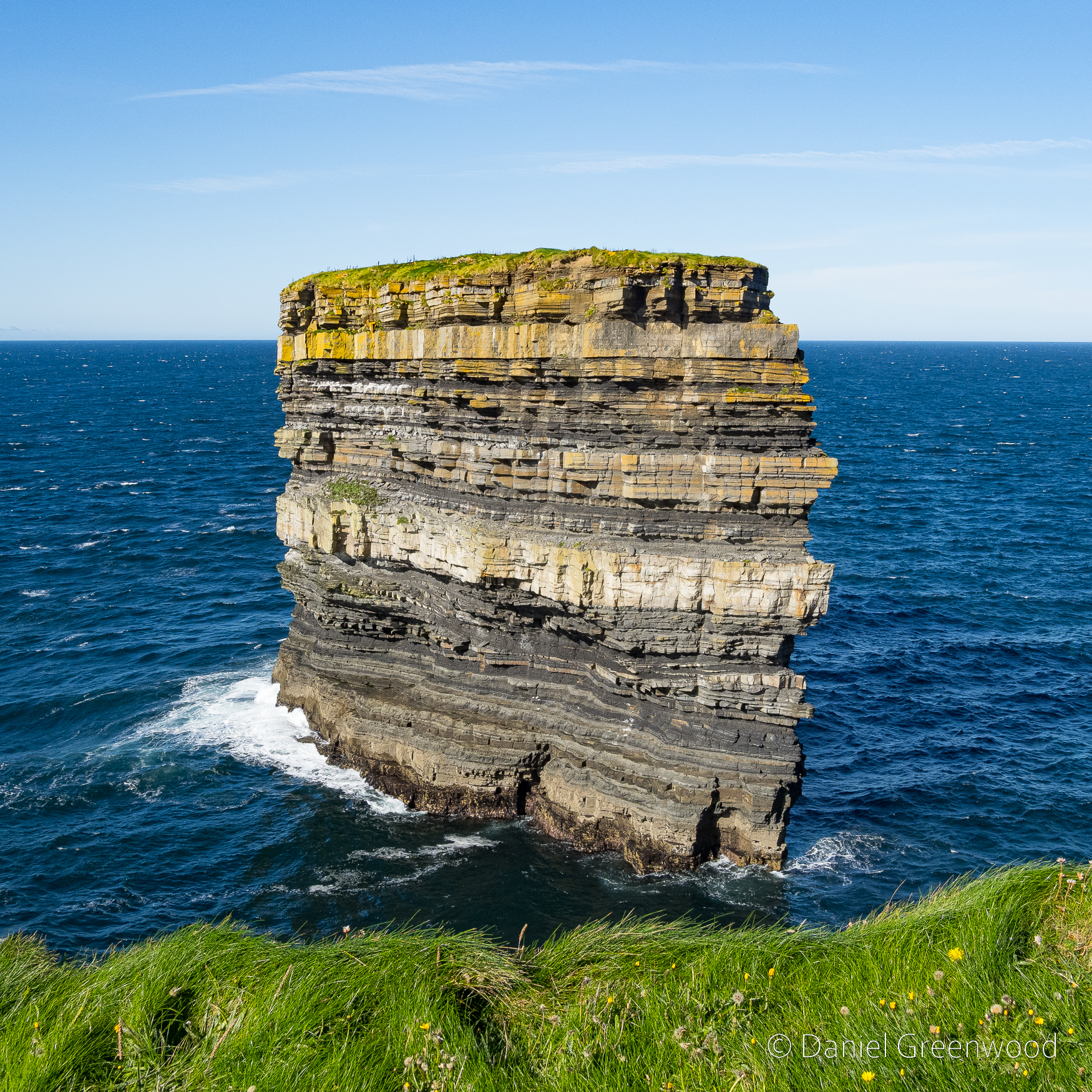
In September 2024 me and my mum drove to an area of the North Mayo Coast I’d never been to but had been hoping to visit for a while – the site of Dún Briste, otherwise known as Downpatrick Head. It’s the location of the iconic ‘sea stack’ that has become isolated from the mainland, apparently thanks to St. Patrick himself.

To get to Downpatrick Head you take the Wild Atlantic Way, the name for the road that wends its way around the Atlantic coast of Ireland.

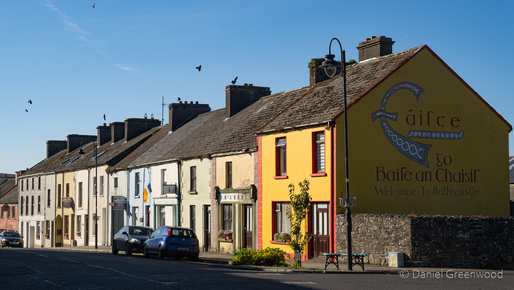
You pass through the village of Ballycastle on the way. The yellow house on the corner reminds me of the Ireland we visited as a family in the 1990s, especially around Cork. The birds on the roof are jackdaws.

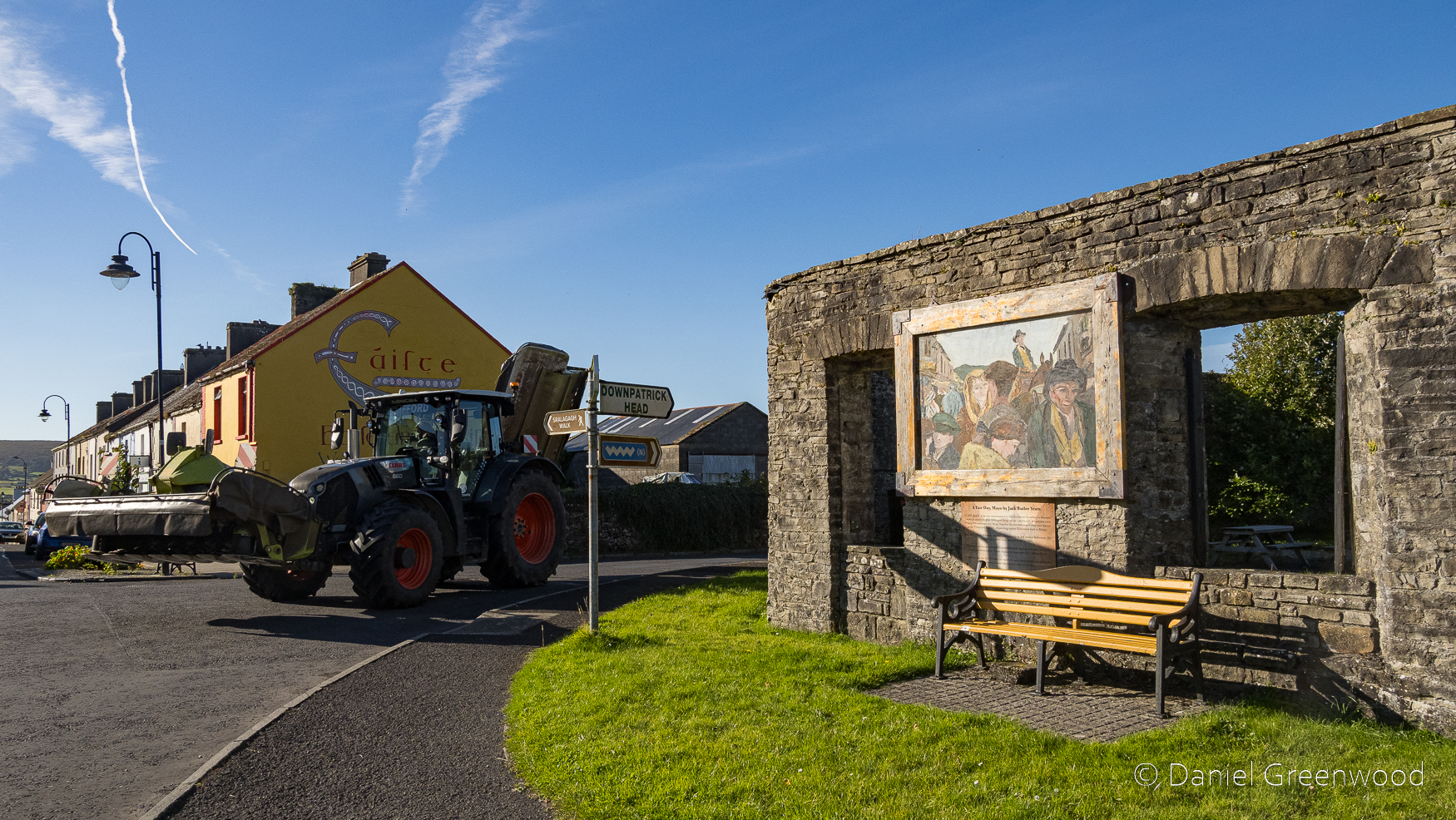
A tractor came roaring around the corner when I took this photo of ‘the Shambles’. It was once a market place and slaughterhouse that became a British military site temporarily during British colonisation (approx. 1500s-1931) in the 1800s. Don’t worry, it’s a picnic spot now.

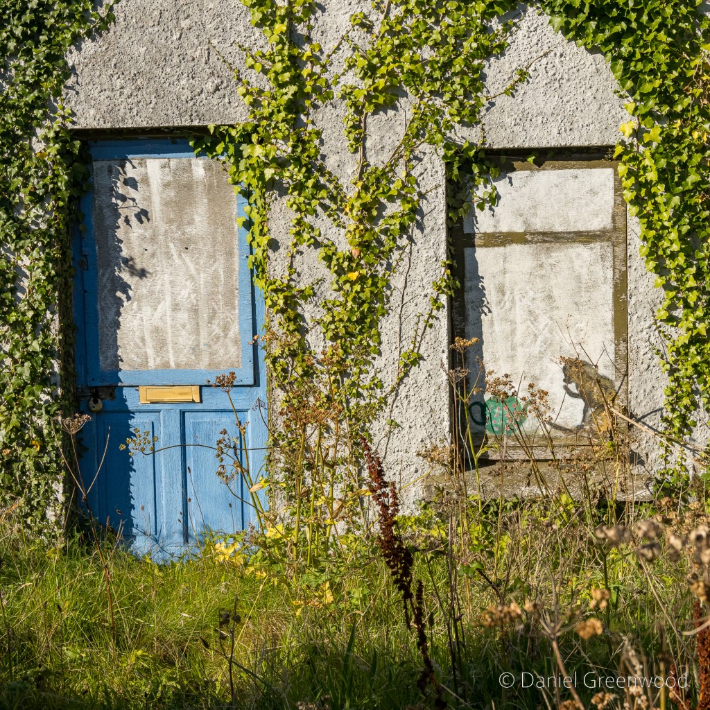
Ballycastle was home to this charming scene of an ivy-covered cottage, complete with cat and teapot.

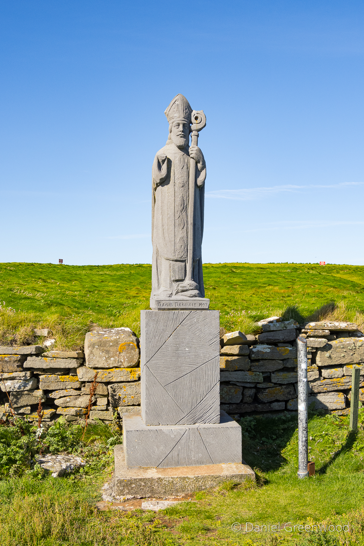
Fast forward a few miles, beyond the car park and up the hill towards Downpatrick Head, the statue of St. Patrick (Ireland’s Patron Saint) was installed in the 1980s. St. Patrick is said to have founded a church here, which the statue marks the site of.

St. Patrick is also said to have had a role in the isolation of the sea stack, hitting the ground in an attempt to ‘furiously convert’ the Celtic and therefore pagan chief, Crom Dubh to Christianity. A more scientific view:

Dún Briste or ‘Broken Fort ‘ was once joined to the mainland on north Mayo’s coastline.  The ‘Sea Stack ‘ stands forty-five metres in height.  Formed approximately three hundred million years ago during the Lower Carboniferous period

Our Irish Heritage: National Museum of Ireland

Geologically (rather than mythologically), the sea stack is believed to have become isolated from the mainland during a storm in 1393 that caused extreme erosion to the coastline. I think the stack looks like a stone frog emerging from below the cliff.

In 1980 archaeologists accessed the stack via helicopter and found several interesting things. The video above shows an ascent from 2016, and includes some footage of an old wall that can’t be seen from over on the mainland. I am wondering what legal protection the nesting birds have, the stack reportedly is home to puffins due to the lack of terrestrial predators.

The rock strata are layered in wafer-like stripes.

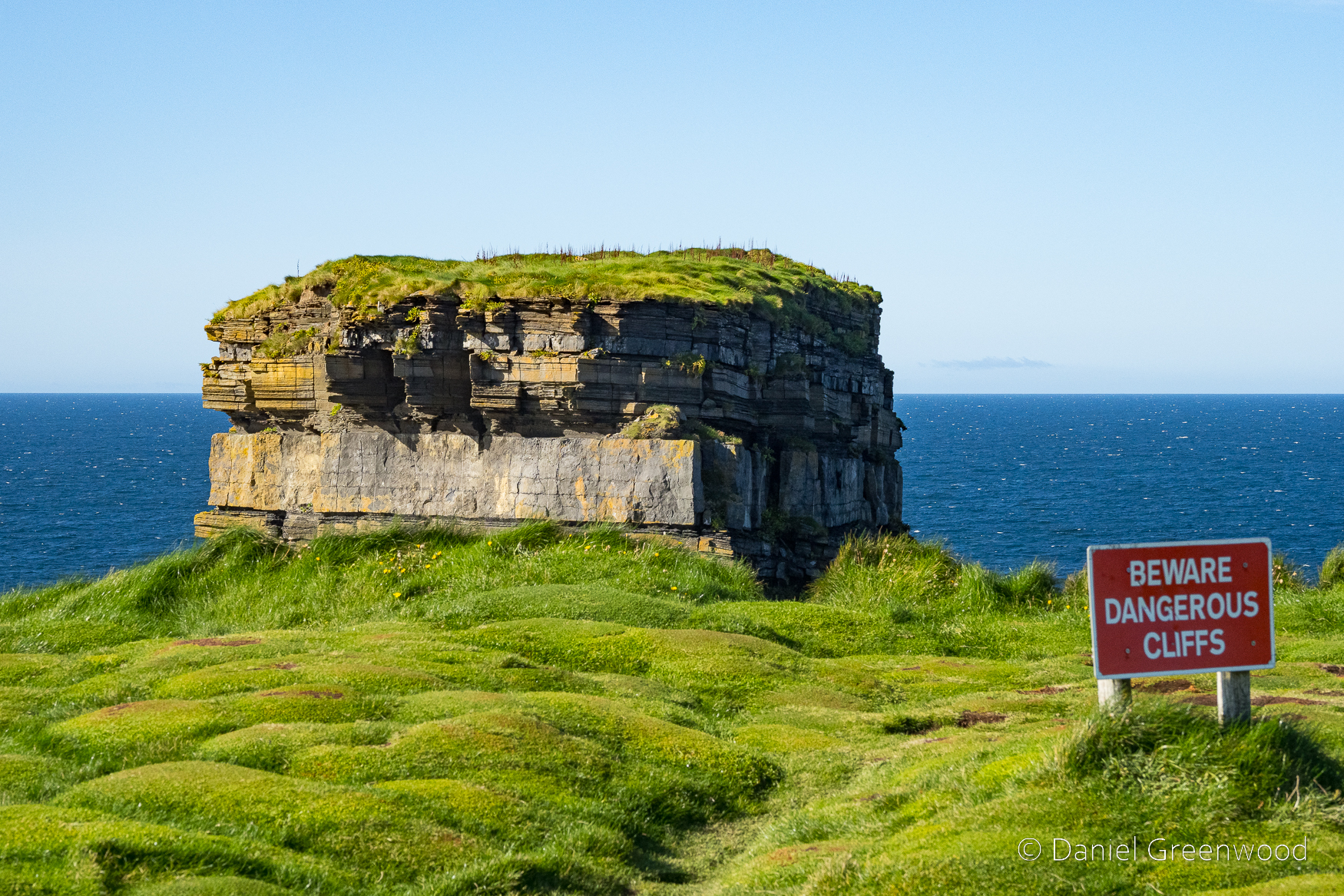
The coast to the east shows the different forms of erosion that’s taken place over the years, as the more recent soils have been hammered by wind and rain.

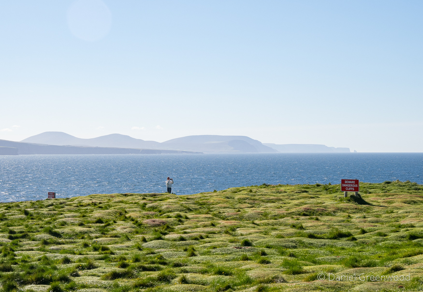
This person taking a photo among the strange tussock mounds reminds me a bit of St. Patrick’s statue. The coastal scene in the distance holds Céide Fields:

The remarkable neolithic site at Céide Fields in County Mayo, Ireland, contains the oldest known stone-walled fields in the world – dating back nearly 6,000 years.

CéideFields.com

To the right (north) are the Stags of Broadhaven.

A short video I filmed on my phone that shows how windy it was up there on the day the photos were taken.

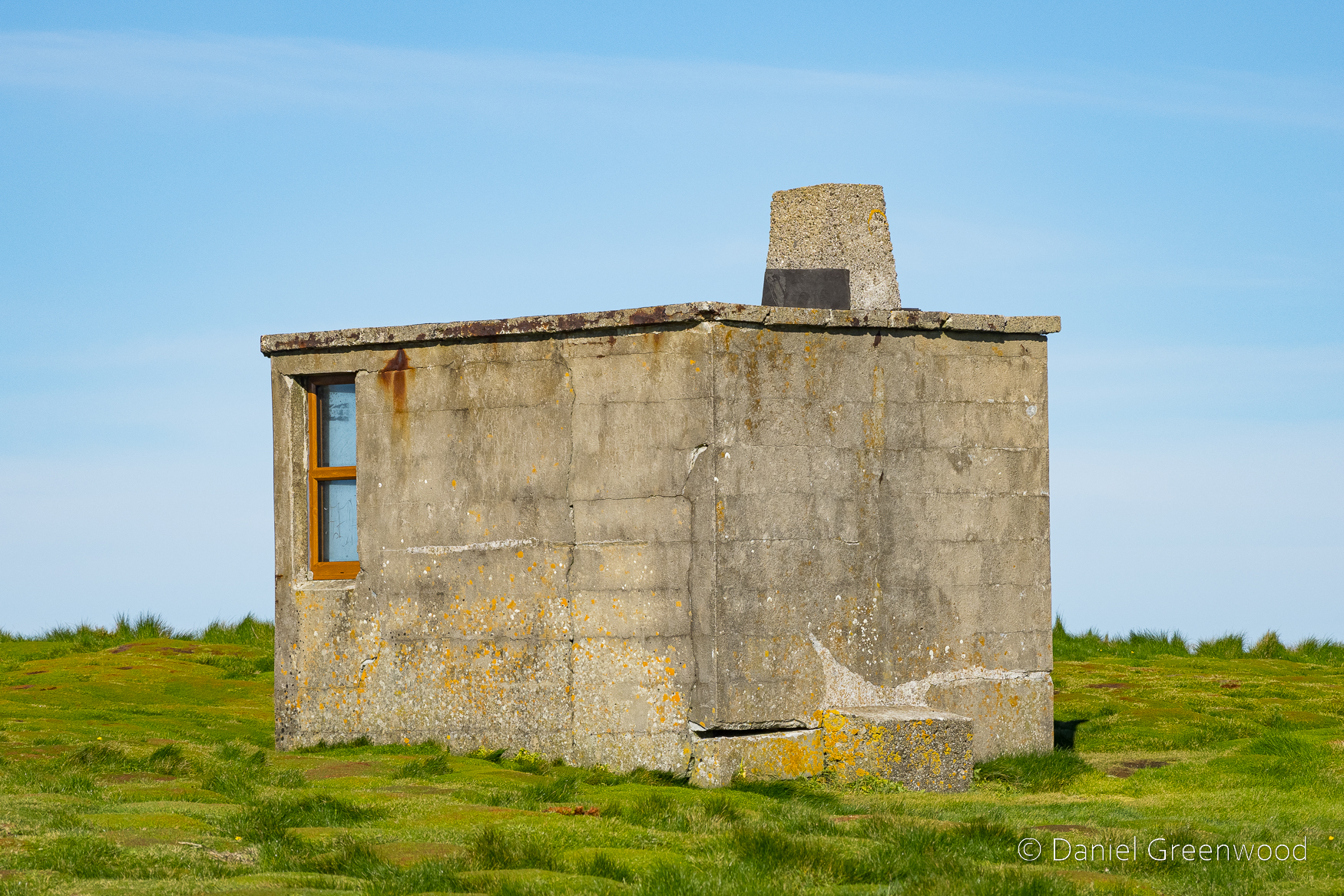
A mysterious concrete cabin, presumably for military or other coastal observation purposes.

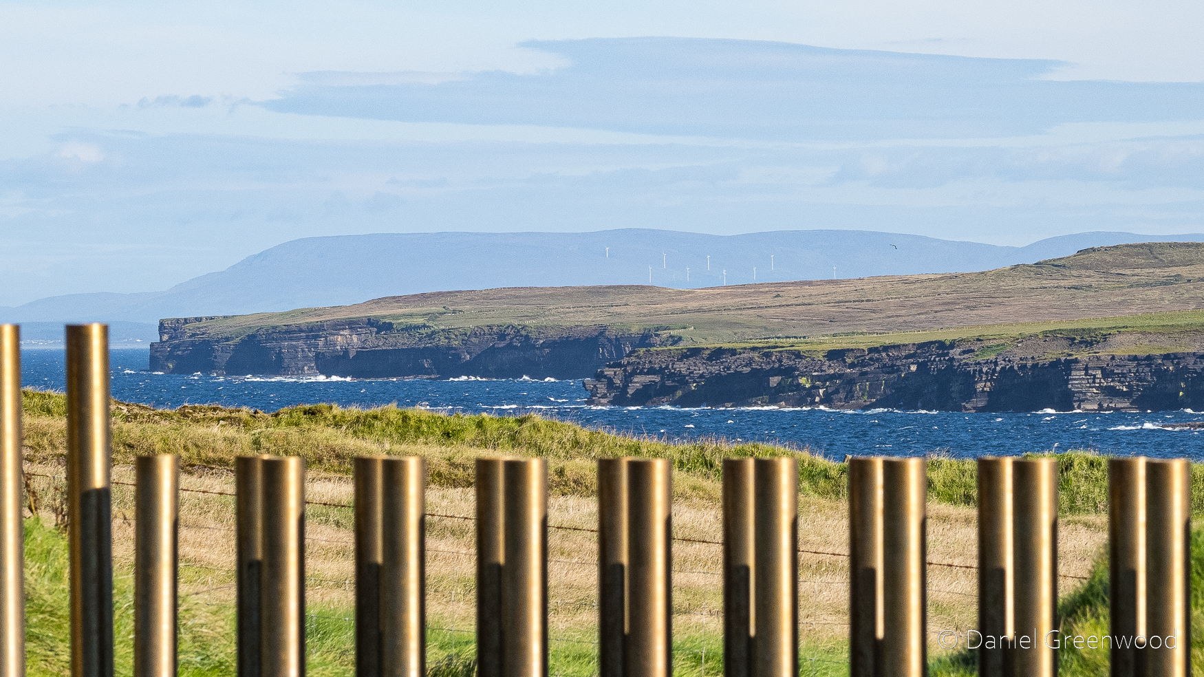
Looking east along the coast towards Sligo and the Ox Mountains.

The golden pipes are part of an installation that allows you to safely view the sea through a ‘blow hole’ cutting into the hillside. Legend has it that the hole was created after an altercation with St. Patrick and Crom Dubh:

Crom Dubh in desperation set a fire with which to hinder Patrick. This did not go down well! Picking up a stone, the holy man hurled it in anger into the middle of the fire, sinking it deep into the earth. Today, this hole is known as ‘Poll na Seantine’ (‘Hole of the Old Fire’).

NorthMayo.ie

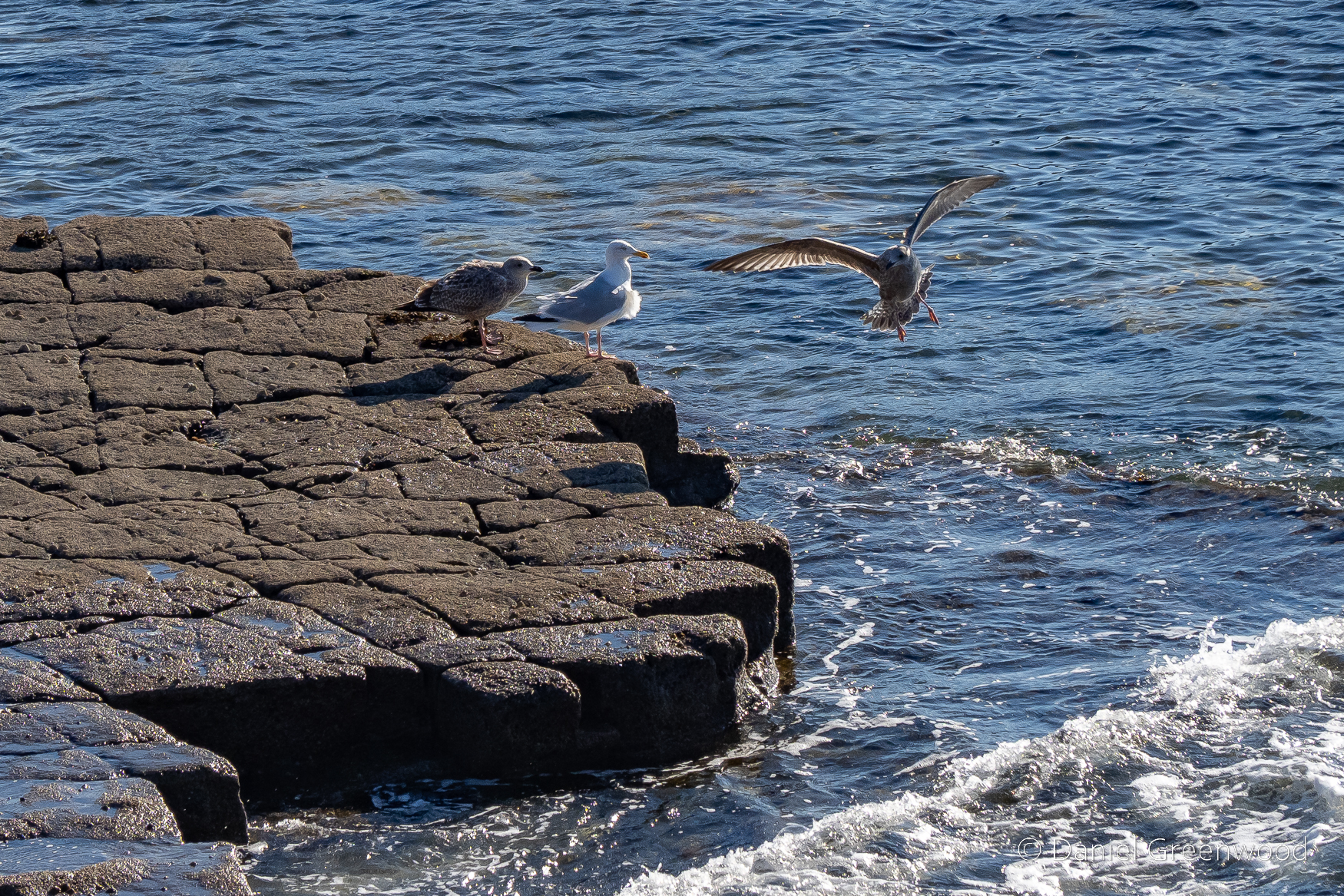
There was no such violence during our visit. Gulls were gallivanting (gull-ivanting?) on the rocky outcrops on the shore.

Thanks for reading.
Ireland

Night photography: Milky Way in Mayo’s dark skies, August 2023

Mayo, Ireland, August 2023

Here are my recent astro photos from Mayo’s International Dark Sky Park. County Mayo is of course in the north-west of the Republic of Ireland.

During this short period of skywatching I saw a meteor streak across the sky. It was amazing.

The weather on this trip was typical August in Ireland – rainy! Luckily there was a couple of clear hours one night, and the Milky Way was clear to the naked eye.

Here’s the view south with the Milky Way stretching across the sky. The shapes at the base of the photo are a conifer plantation. The light pollution is coming from the direction of Foxford.

I love the images of a glowing window with stars above. Here you can see the plough (Ursa major) over the rooftop.

Thanks for reading.
Achill Island and the lure of the Atlantic 🇮🇪

In April 2023 I visited Achill Island in County Mayo for the first time in 10 years.

I have happy memories of a visit to Achill in March 2013 with my parents. Returning with my mum in April after the passing of my dad in 2021, we followed the same route as a decade ago, stopping at Cloughmore to see the Atlantic’s wild waves crashing against the rocks. It brought back strong memories of that last visit a decade earlier, and thoughts of dad heading out onto similar rock formations to fish, further south in Cork during 1990s summer holidays.

In the surrounding sheep-cropped grasslands pipits, likely the rock variety, skipped and flew between boulders. A man cast a drone along the coastal edge before packing his kit (and three generations of his family) into the car and went off again.

I walked around looking for lichens to add to my iNaturalist map and picked off two small pieces of quartz that came away with ease.

The power of the waves, the overwhelming sound of the sea – the hiss and crash – and the sheer beauty of the view north along the coastline silenced me. See for yourself.

If you were to head directly west from here by sea, you would arrive in Newfoundland or Labrador in eastern Canada. My relatives made similar journeys, some of them never came home but instead built lives of their own in New York City. Some were of Irish heritage and were born in America, but returned to Ireland.

I recently read Brooklyn by Colm Toibin. I’ve been on an Irish fiction streak, in some ways to try and understand the experiences of my Irish relatives, who made the same crossings and who also built lives in Brooklyn before the book’s setting of 1950. Other than Toibin I’ve read most of the Donal Ryan novels, where migration is again a key theme.

Two of my relatives who went to America are my long-lost great-grandmother Eva Sugrue (right), and her sister Eileen (left). My family have confirmed Eileen was married in the same Brooklyn courthouse that progressed one of the many cases against ex-President Donald Trump, which is nice. No one in my family today, or even my grandmother, knew Eva (her mother) or Eileen. That mystery trickles down, and it was only through the diligence and commitment of my family’s desire to find out more that the photos above ever came to light.

On our way off of Achill we stopped at a craft shop. I wanted to buy some proper knitwear (oh yes) and a few gifts for home. We got talking to a woman called Kathleen who was running the shop. She had lived in London, Littlehampton, and Winchester, the latter when her husband was working on the creation of the M3 cutting through the South Downs at Twyford. They had lived in a caravan park while the work was being undertaken, a community of Irish families cropping up with all the workers there to do the job.

In talking we covered all the major issues: English nationalism, Brexit, Trump, Putin. She had a way of saying, ‘I don’t care either way, but…’. We also discussed the ‘shock’ of living in rural West Sussex compared to most other places, how beautiful the South Downs were.

Kathleen was readying herself for the influx of American tourists expected in line with a visit from US President Joe Biden, ‘a Mayo man’, as the whole world now knows. She asked if we would be staying around for Biden’s visit, but we were already planning to leave for Dublin before his arrival. The payment machine didn’t work as the signal was so poor, and she felt embarrassed that she’d have to ask the Americans to pay in cash.

Achill has a long history of people coming and going as Biden’s family did, though particularly to England, as the video above shows.

A beautiful place, a difficult history.

Thanks for reading.
Ireland

Bogshrooms, and a life lived wild and free 🍄🐐

Mayo, Ireland, April 2023

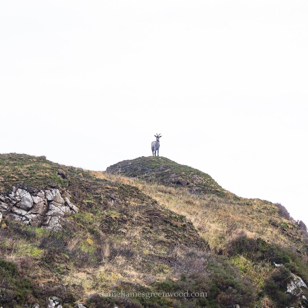
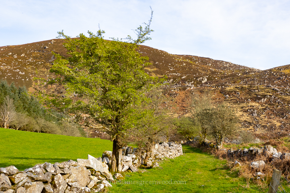
I went for an evening walk down the old trackway to the foot of the mountain. The track was flooded, meaning that without wellies I had to find tussocks and rocks to move further. Where the track turned, I noticed a ram of some kind grazing up ahead. After a time, I realised it was a goat, most likely a wild goat from the flock that roams the mountain. I had never seen one so close before and began to feel some concern for it. Why was it down here in the floodplain rather than up there out of reach among the boulders and bogs?

Its bleating was weak, distressed. I felt anxiety rising, that I needed to act. I looked at my phone about guidance for finding a wild animal of this size, but it was stuff I already knew and I realised I wasn’t acting rationally. I walked forward, a little fearful that the goat may show aggression, so when it turned to look at me, I backed away and waited.

The goat lowered itself to a sitting position, bleating in a way that suggested distress, weakness. Its voice was breaking, fading. It tried to stand but its legs gave way. It lay with its head on the ground, bleating again. I hadn’t moved, realising what was happening. Its stomach stopped moving. I approached it where it lay, its ears and lips were trembling. Then, stillness. Its eye remained open, and did not move. It had passed away.

A life lived wild on the mountain had ended at its foot, in a very short space of time. There was very little visible suffering, though some fear as it realised it was losing its ability to graze and trot.

I continued on and headed up the mountain. Seeing the death of the wild goat made me want to press on, a gentle reminder that all life has its limits. To the west, Nephin appeared in the distance, Lough Conn as silvery as ever at its foot. In the south-west Croagh Patrick could be see behind a rank of wind turbines. As I reached a curve in the path, where a cleft had been carved into the hillside, a small group of wild goats appeared on the hilltop. We watched eachother for a while, before they headed off out of sight.

I reached the top for the first time since 2017. A broken flock of sheep circled me against the horizon of rocky outcrops, mountains and distant loughs. Being up there will always remind me of the times me and my Dad made it up, always out of breath and red-faced.

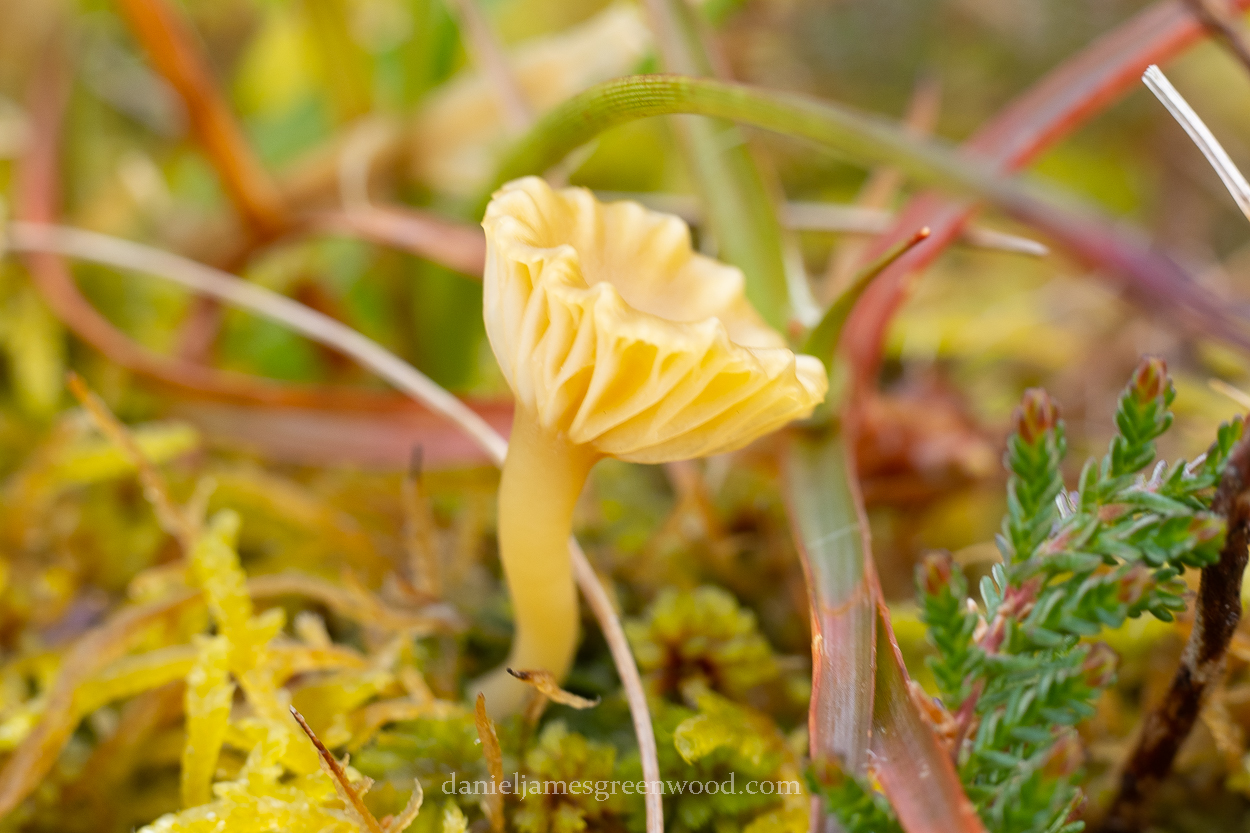
Surrounded by bogs and scars of turf cutting, I looked down to try find an unusual species of some kind that I might not see elsewhere, due to the remoteness of the place. Down in a small bit of bog, with sphagnum and other mosses, a group of golden mushrooms were growing.

I had a second camera with me that had a macro lens attached for ease. I took some photos, unsure of the species. Its gills were not unlike a waxcap (hygrocybe) but I knew so little about boglife that I was happy simply to find some shrooms.

I’m still waiting on feedback on iNaturalist, so this remains a mystery. Unless someone reading this knows and can add some information in the comments?

I headed back down the mountain and along the track. There the wild goat rested. I hadn’t imagined its death, and it wasn’t trying to fool me. I went back to the cottage unnerved, reminding myself of a life lived wild and free in the Ox Mountains.

Thanks for reading.
Fungi | Ireland

Unlocking Landscapes podcast: Walking with ravens in the Ox Mountains 🇮🇪

It’s January 2023 and my podcast, Unlocking Landscapes, is 2 years old! Thanks to everyone who has contributed and supported so far.

I do this podcast at my own cost so if you want to support it (it costs a basic £100 annually to host my Podbean account) you can ‘buy me a coffee/camomile’ here: https://ko-fi.com/djgwild

I haven’t posted for a while, mainly for professional and technical reasons. The biggest issue is that I needed to upgrade my ailing desktop PC, which I have now done. It’s in much better shape now, so no more IT excuses but hopefully more podcasts.

You can listen via YouTube here:

Or via the Podbean stream here:

In September I spent a week in Mayo in Ireland and recorded two podcasts. One is an early evening walk in the Ox Mountains, encountering rickety gates and performing ravens. The second one (still to come) is a walk with Seán Lysaght, which I can’t wait to share with you. I’ve been a big fan of Seán’s writing for over a decade, so it was a massive honour to spend an afternoon walking with him. More on that one soon!

In the Ox Mountains I go for a walk, describing the surrounding landscape, capturing two ravens (acoustically) as they fly close by from where the breed in the hills. I also talk a bit about issues with cottages which aren’t connected to mains water, amongst many other things.

Here are the reference points:

Thanks for listening!

Unlocking Landscapes podcast:

The homefires burn in the mountains of Mayo 🇮🇪

Here are some landscape images from a March visit to Mayo which I’ve been posting a bit of recently. This landscape fascinates me in many ways: the cultural history (of which my family has links), the ecology and geology.

My family’s cottage is located near a mountain range that would probably be classified as hills in the UK, but their Irish name translates as Wintry Mountain (Slieve Gamph). The English version is the Ox Mountains. It was said that people once lived in these hills – granite, heather and peat bog – in simple stone cottages until the famine. I haven’t managed to locate anything resembling a disused cottage there as yet, but the wider landscape is littered with megalithic tombs, stone circles and other significant archaeology.

We arrived in Mayo to find the mountain burnt across a mile or more. This beautiful landscape with its rare plants, bog habitats, feral goats and moorland nesting birds, was decimated. We asked local people – who started it? One man said it could have been a farmer who just wanted a bit more grass, another woman said it was someone just “lighting a match”. Whoever it was, the authorities are not happy and it made plenty of news out this way. It was also an issue in Wicklow and Kerry.

The mountains had not been completely charred by the fire, with plenty of plants having survived, though it had spread to areas I had never seen affected before. Our local neighbour said she had never seen so many fires as in recent years. Climate change is no doubt making these moorlands and their mountains of bracken more vulnerable to wildfires (or otherwise) but the issue still remains one of misguided land management, as well as pure arson.

Having worked in the management of publicly accessible green spaces I can tell you there is a minority everywhere who want to just burn stuff for the fun of it.

In 2013 I wrote a piece about visiting Mayo while my grandfather was in a nursing home. He passed away 2 years later from dementia. Back then we arrived to fires burning close to the cottage, like something from a movie. I remember a radio report saying there were gorse fires simply caused by direct sunlight and dry weather. You can read that here.

Thanks for reading.
More from Ireland