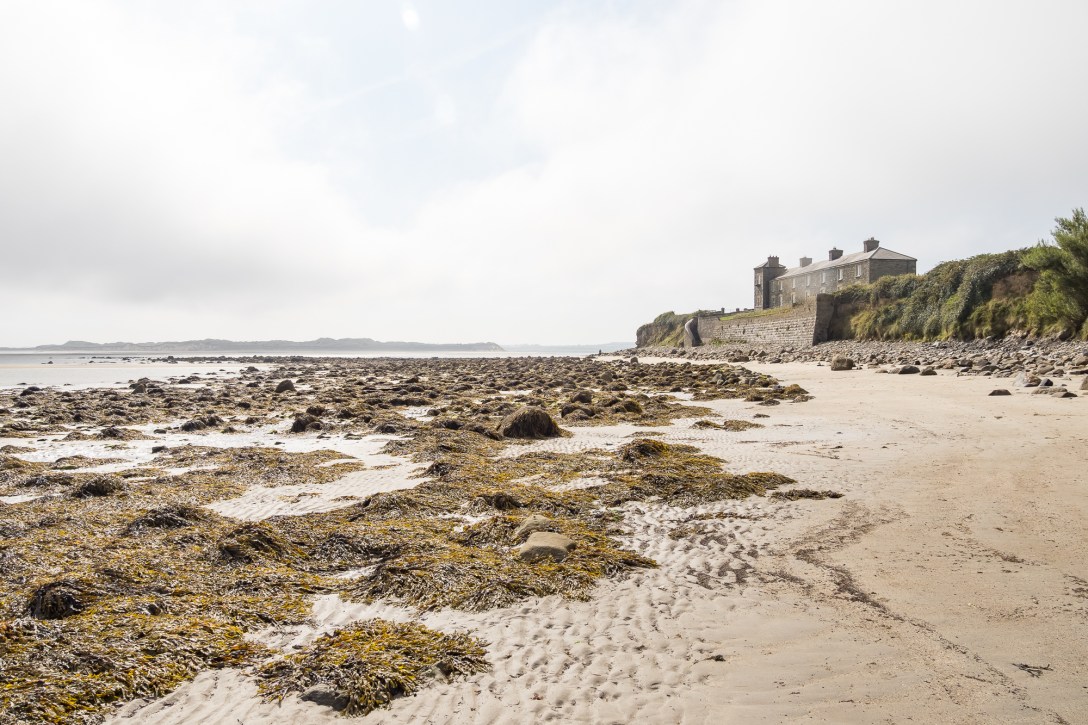
Killala, North Mayo Coast, Ireland, September 2024
In this post I try to unlock the land and seascape of one of my favourite coastal places – Killala Bay, a Special Area of Conservation on the North Mayo Coast. I have another post from 2025 which will follow in the months ahead. I also hope to visit again this year, it’s a fascinating, restorative place.
In recent months I’ve also posted about Downpatrick Head, to the west along the North Mayo Coast:
Downpatrick Head on the Wild Atlantic Way
I’m a woodlander, not an oceanographer, so we’re beginning from a low baseline, which can be a lot of fun. I’ll try to unravel some local history along the way.
Killala was home to one of the final battles during the ultimately unsuccessful 1798 Irish Rebellion against British control, despite a bit of help from the French.

Two hundred and fifty years after that battle, there was no British flag flying in Killala. The red flag at the beach meant it wasn’t safe to enter the water. I’m not a swimmer, so had no intention anyway (nor is my mum, who was with me for this stroll).
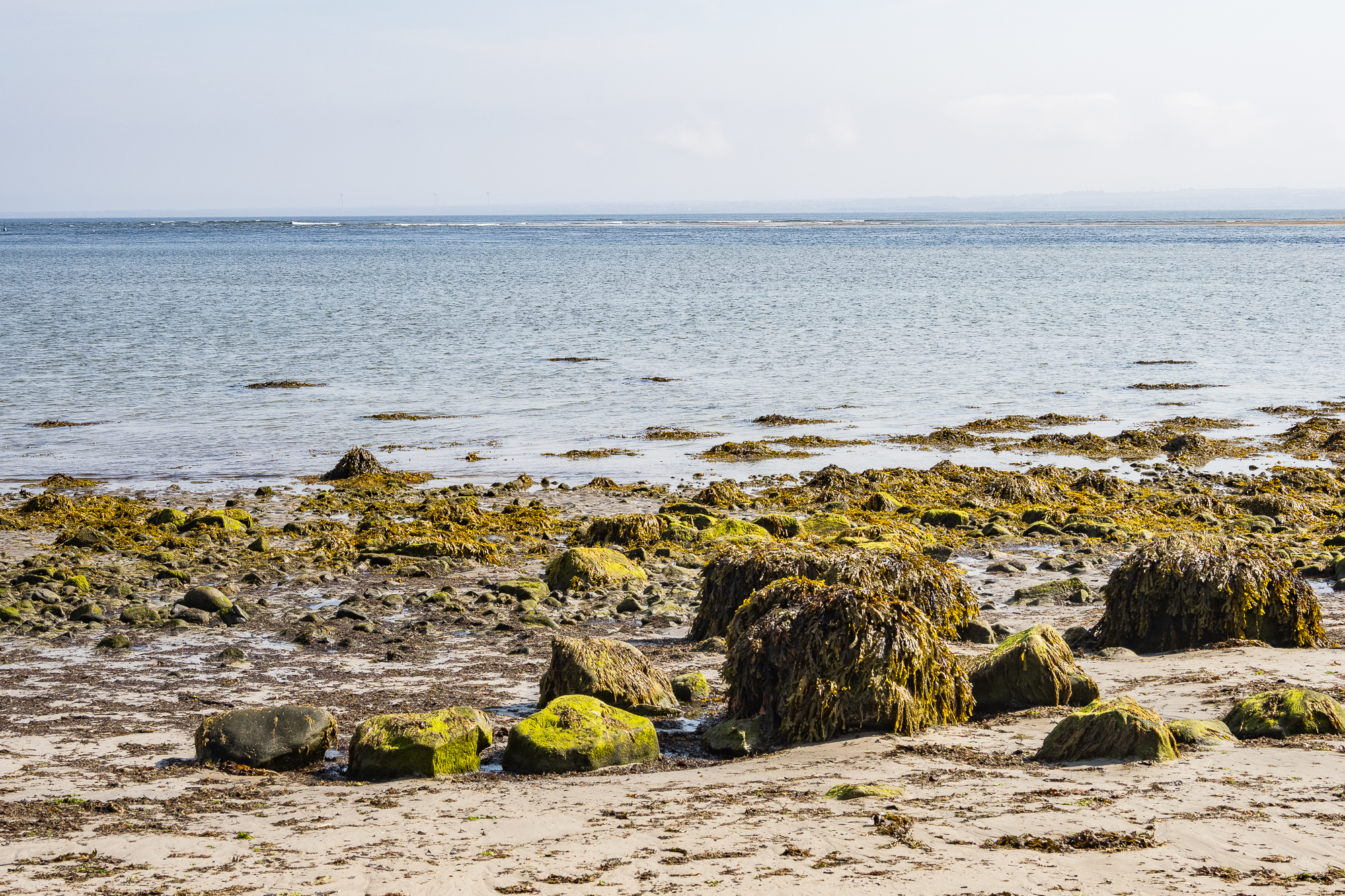
The seaweed-covered boulders of the shoreline.
Killala Bay has a lot going for it, it’s a Special Area of Conservation (SAC), designated because of the range of special habitats including sand dunes, sea cliffs and salt meadows. You can read more about that here. The SAC designation is also given due to the presence of narrow-mouthed whorl snail (Vertigo angustior) which is Near Threatened, sea lamprey (Petromyzon marinus), and common (harbour) seal (Phoca vitulina).
The Nature and Wildlife Plan for the area has a lot of interesting detail.
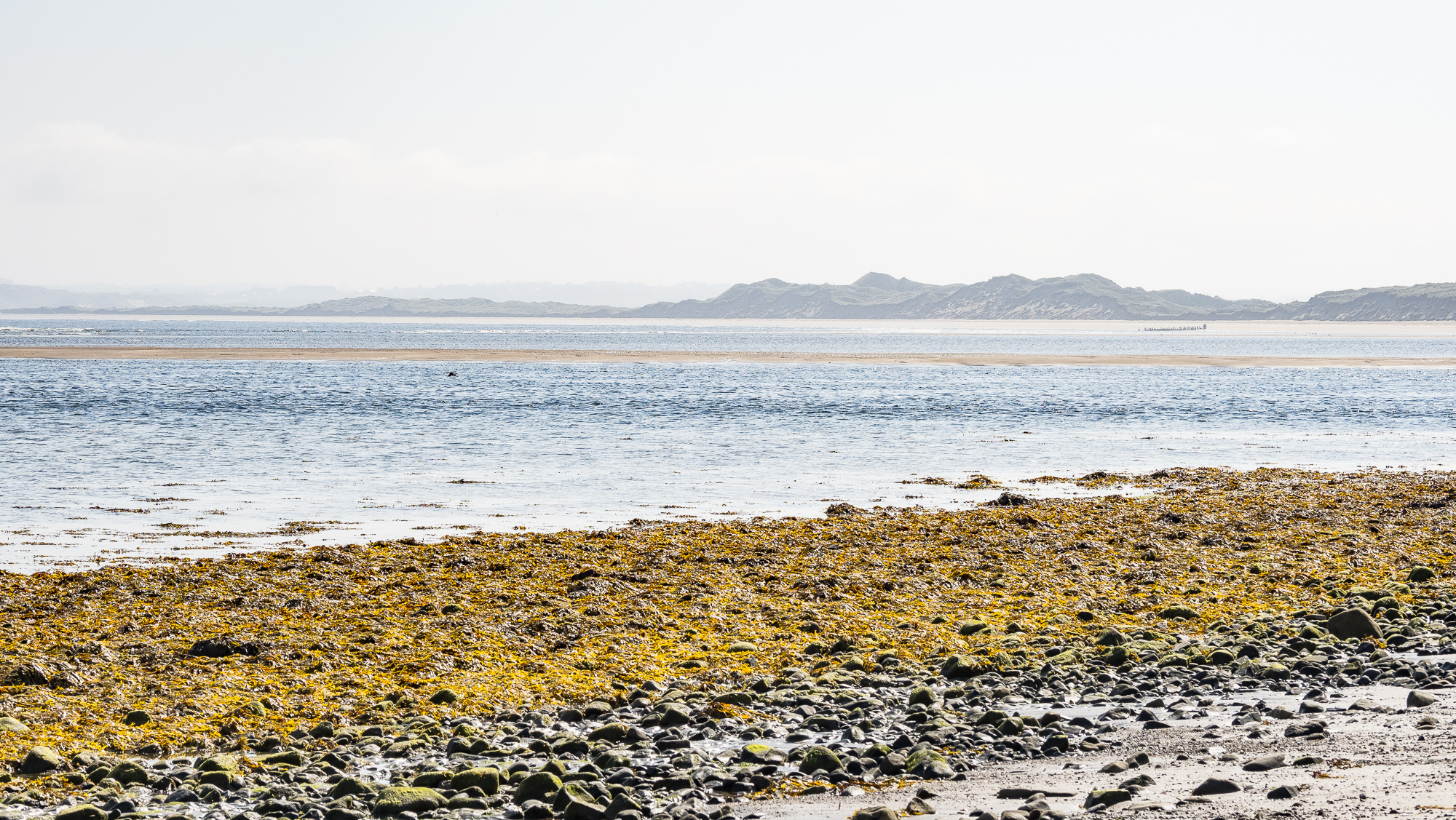
Looking across the bay to the dunes of Bartragh Island, special because it enjoys a lack of disturbance:
[T]he dune complex at Bartragh Island is relatively undisturbed and is considered to be one of the best in the country in terms of its naturalness and intact state
Irish Department of Arts, Heritage and the Gaeltacht
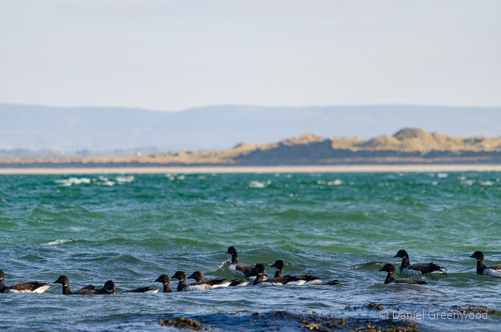
I first visited Killala with my parents around 2009. We returned again in March 2013 to witness a flock of Brent geese (above) out beyond the shore. Brent geese are said to flock here in numbers (200) that are of international importance. Who can blame them, it’s a wonderful wild place for a goose.

In June 2017 I came back for the first time without the parents, but with my wife. Then a large ‘plunge’ of gannets were bombing the water, it was incredible (above).
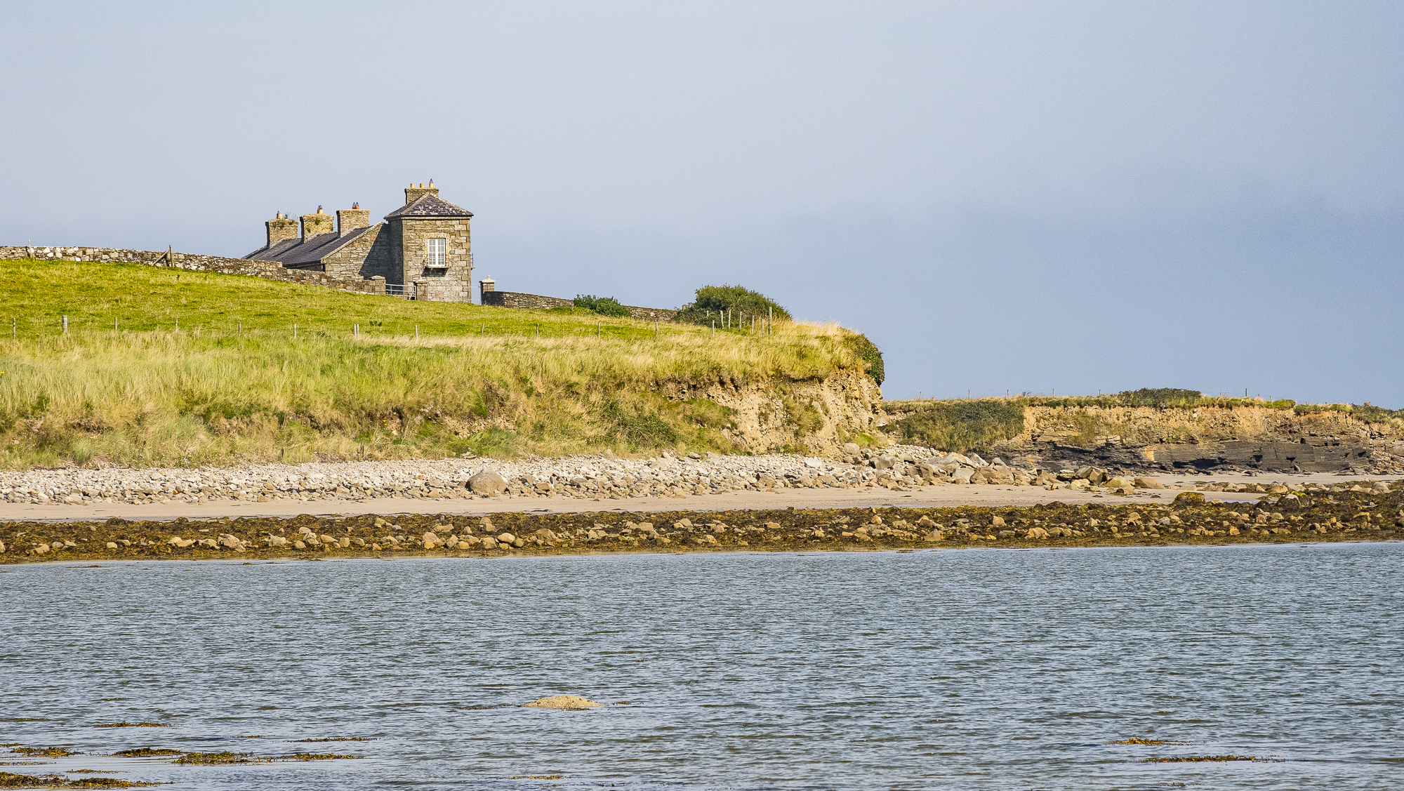
The outcrop of the rock formation that underpins the area can be seen exposed on the right. I have a closer look at this later on.
Killala’s round tower
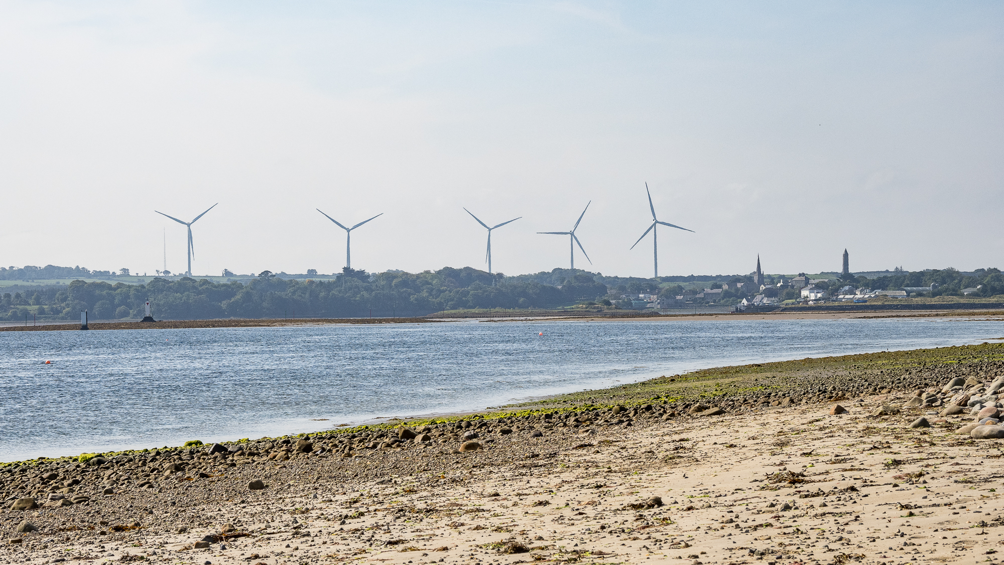
This is the view back to Killala. The wind farms are fairly common in this part of Ireland because it’s so windy. To the right is the Killala round tower:
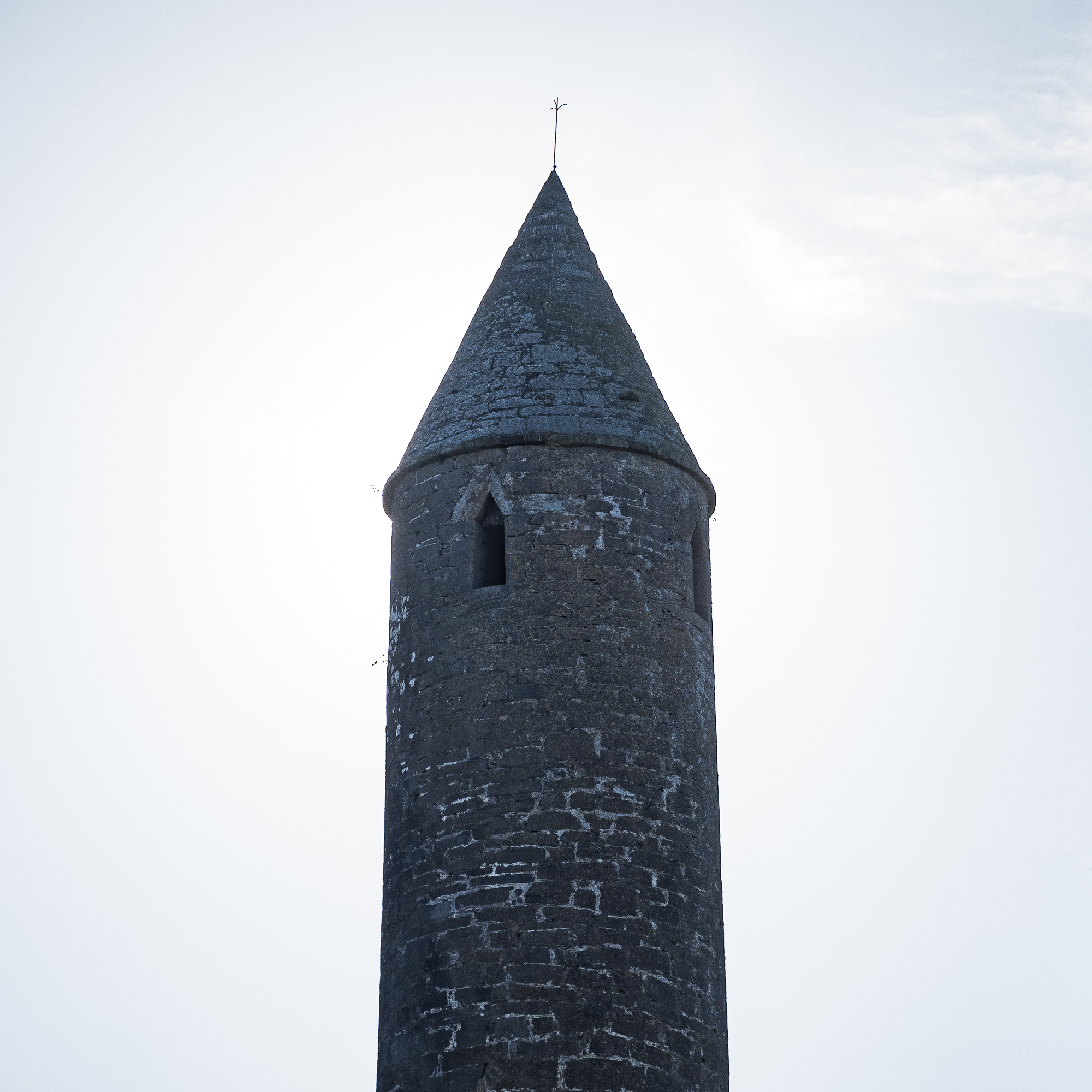
Killala Round Tower is thought to have been built in the 12th Century. The tower stands 52 metres (170 feet) high. The original monastic foundation here possibly dates back to the 5th Century, when Saint Patrick appointed Muiredach as first Bishop of Killala.
https://www.northmayo.ie/round-towers-of-mayo/

The ancient tower can be seen around the centre of Killala, which has some interesting and traditionally colourful Irish frames, doors and signs.
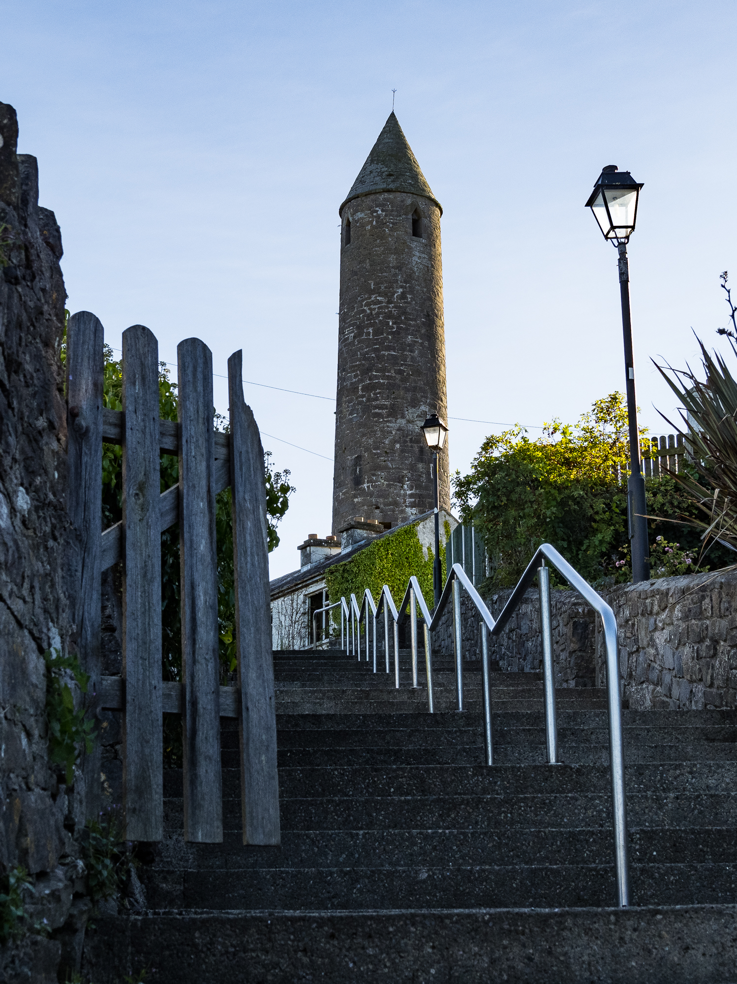
The image of a tower like this will always remind me of the mighty Everton Football Club, whose crest holds a similar structure. Everton’s version is no tower, and was used to lock-up ‘drunks and criminals’. Killala’s tower is far more grand.
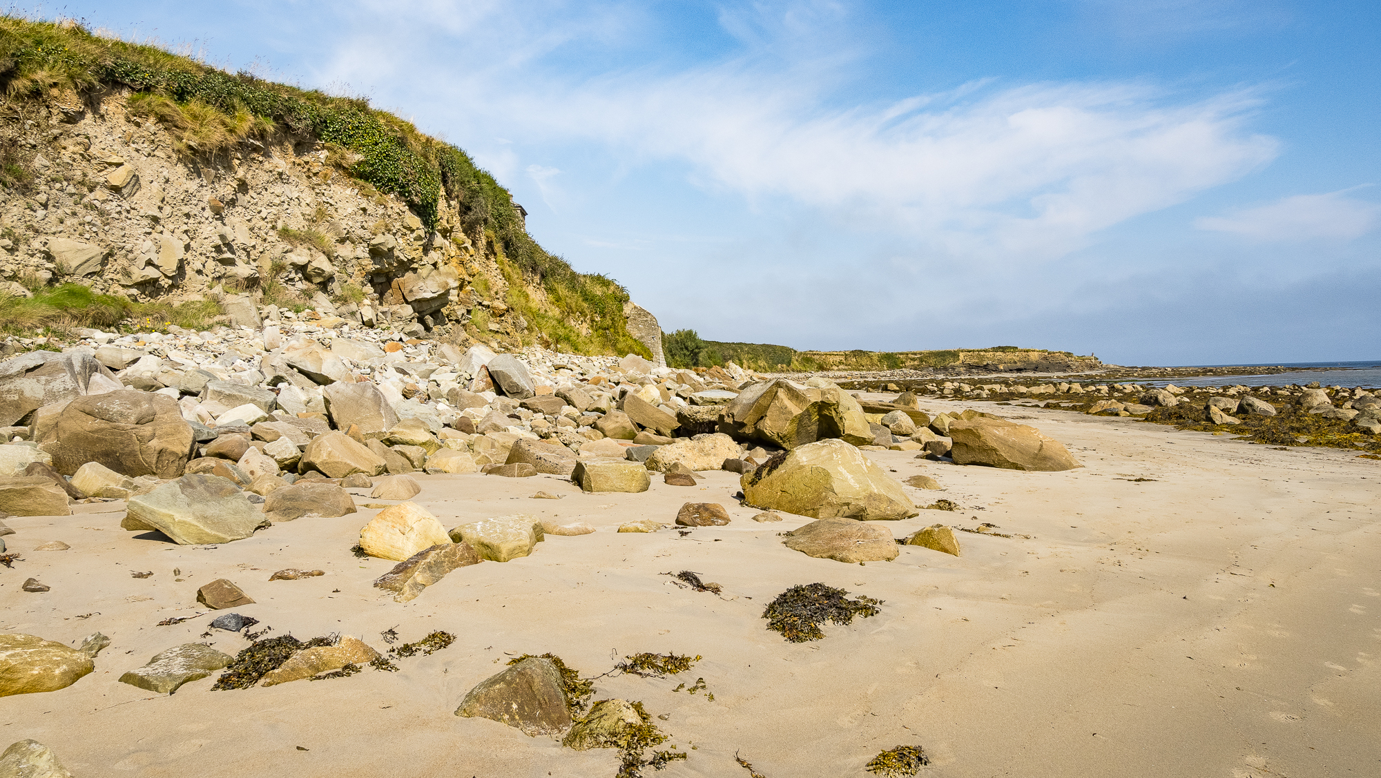
Back to the beach. The rocks here appear to have been removed from the land by waves eroding the hillside.
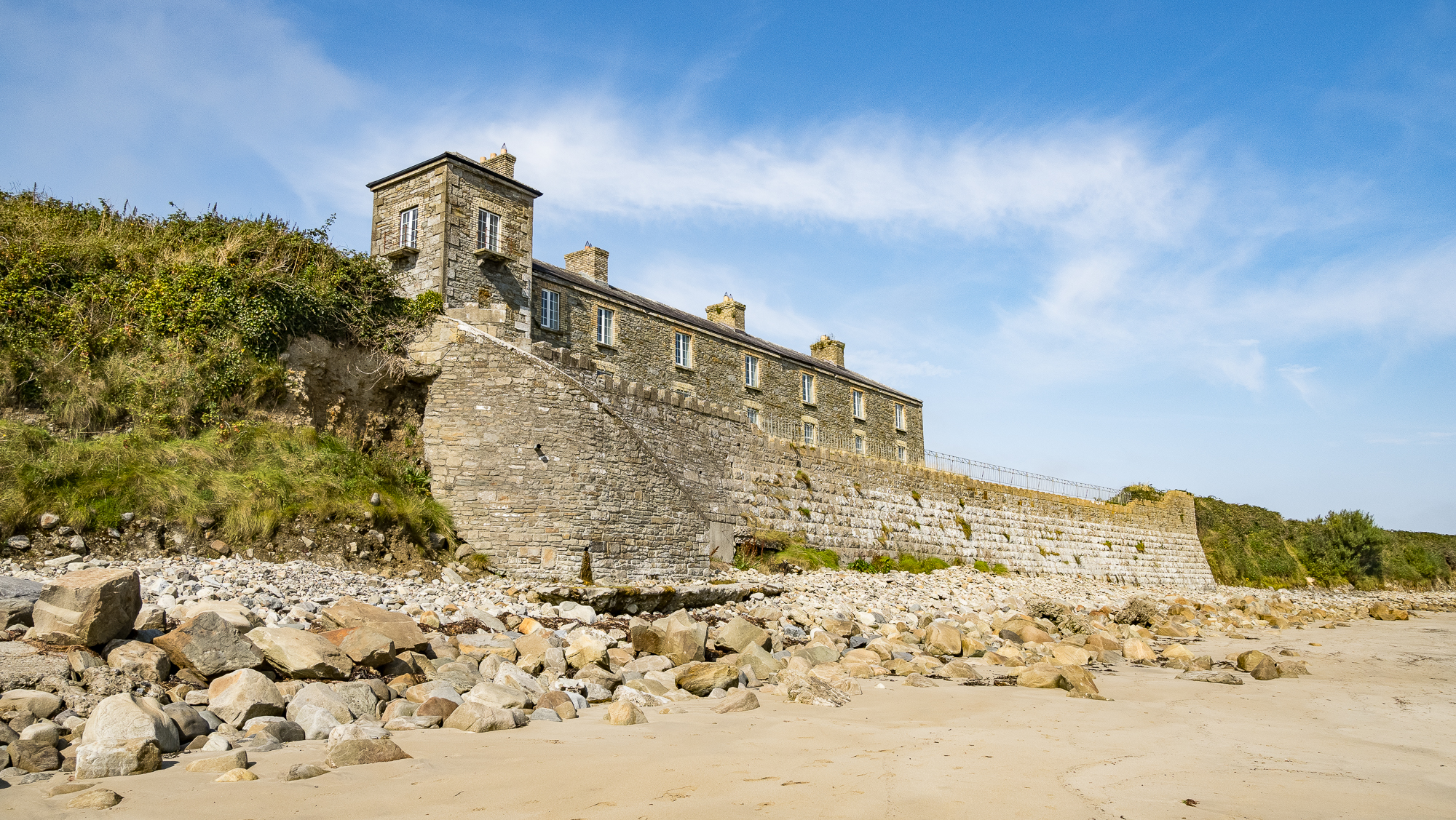
This building is the Ross Coastguard Station. It was built around 1880 but this blog thinks it fell into disuse around the time of the Irish War of Independence (1919–1921):
The year of the demise of the coastguard station is unknown but it was probably around the time of the War of Independence. Coastguards at isolated stations were generally seen as working for the British Empire and were thus extremely vulnerable to guerilla attacks.
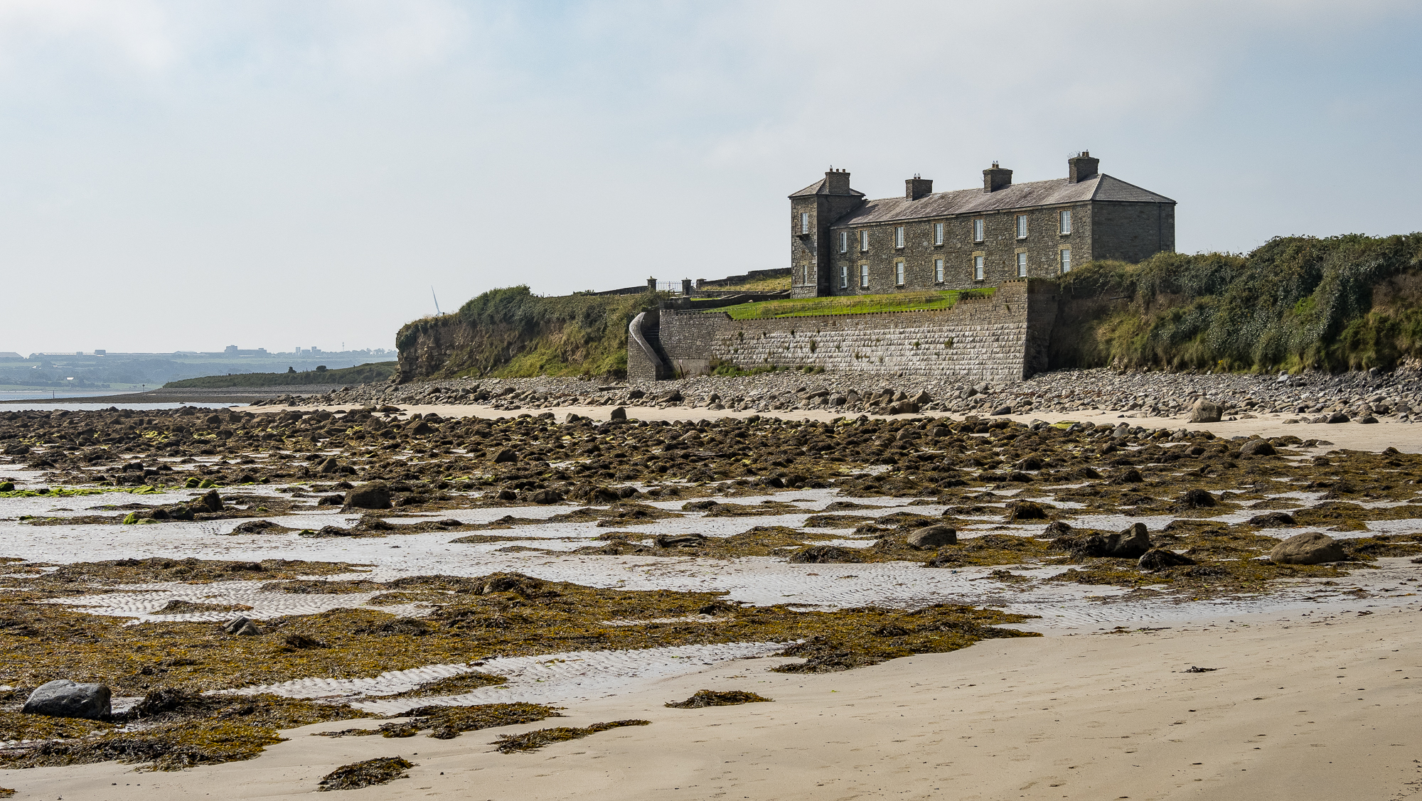
The beach feels different around this bend, more remote, wild and sea-weedy.
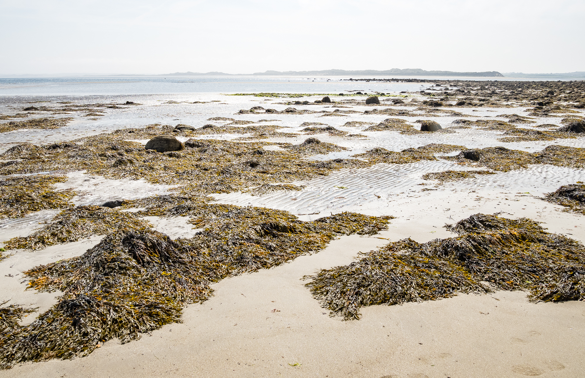
Bladderwrack across the shoreline. Visiting Killala Bay has allowed me to learn a little bit about seaweeds. There’s plenty of it there. This sight over tourist sunbeds any day.
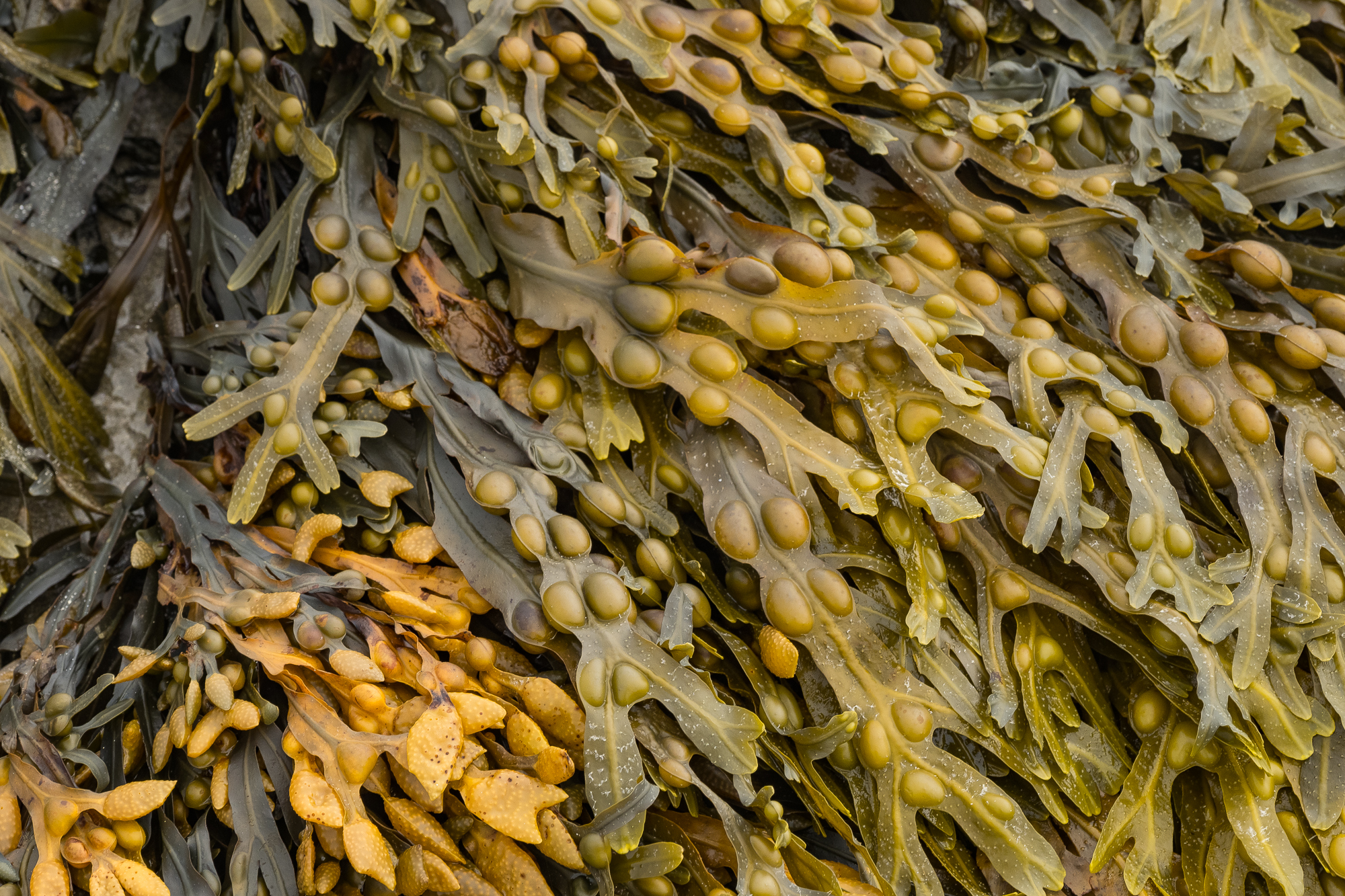
Up close the bladderwrack has a golden shade, the pods a bit like beans. Really these are pneumatocysts. They contain gas that allows them to float, meaning they can photosynthesise better than if they were further underwater.
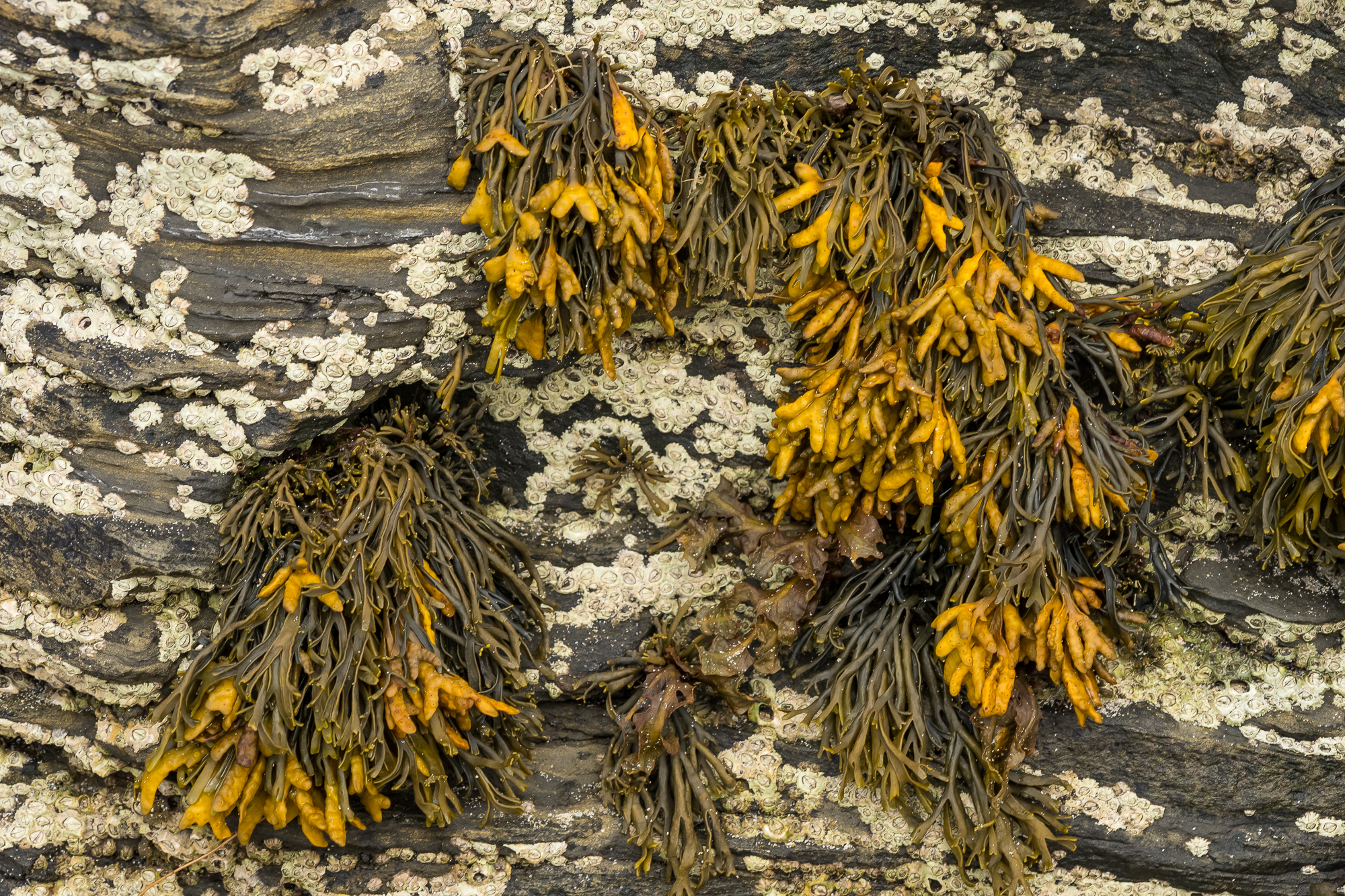
Bladderwrack is also where iodine was first extracted for medical purposes. They are described as ‘brown alga’, lacking the phloem (tissue that transport sugars) and xylem (tissue that transports water) that vascular plants like trees and flowers have. The growths among the seaweed are barnacles.
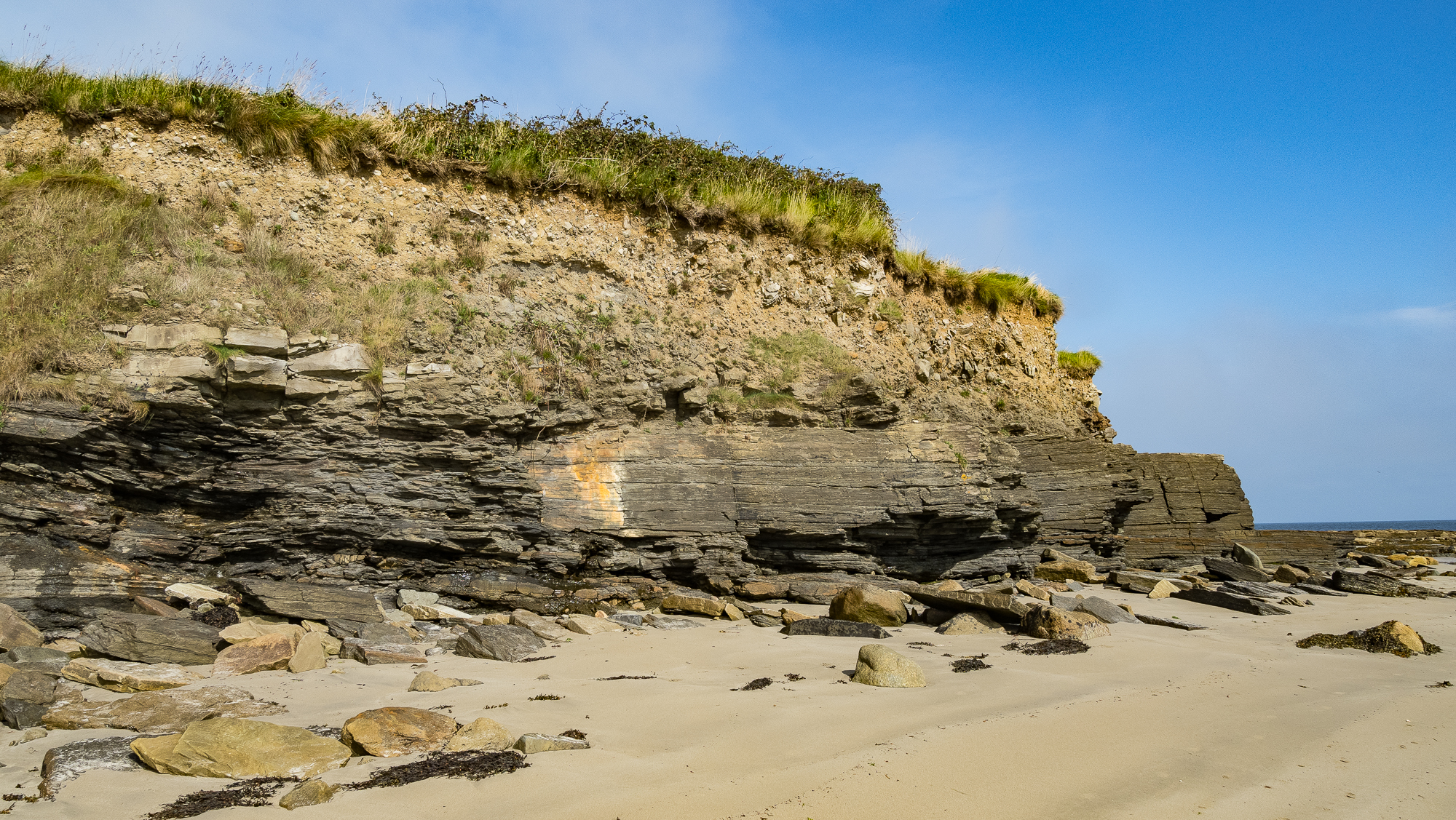
These exposed rocks are part of the Mullaghmore Sandstone Formation (I think, please correct me in the comments if I’m wrong). The rocks are sandstone, siltstone, and shale. I used this map of Irish Geology to try and identify the rocks.
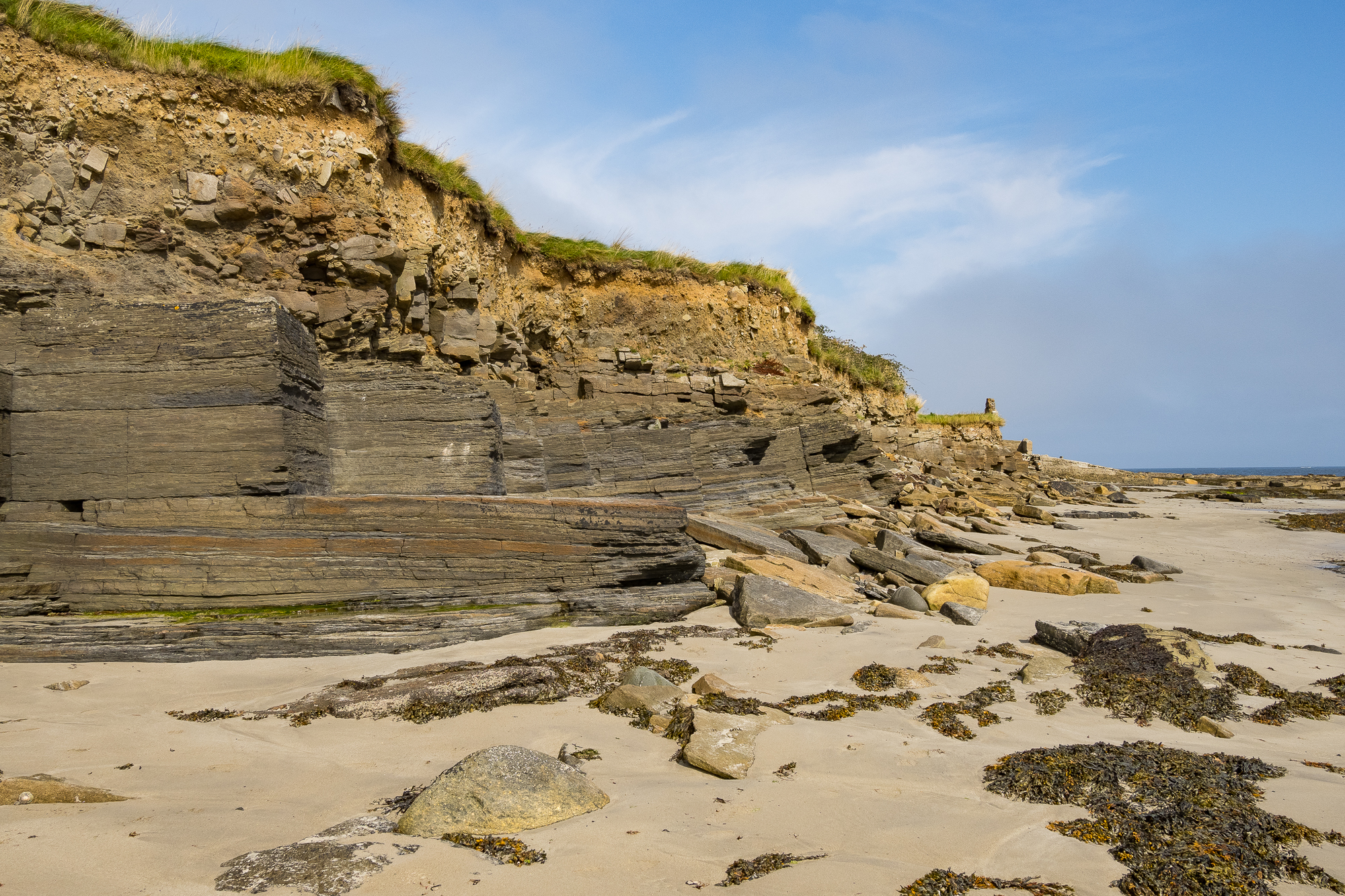
As you walk around the beach the rocks spread out like layers of cake.
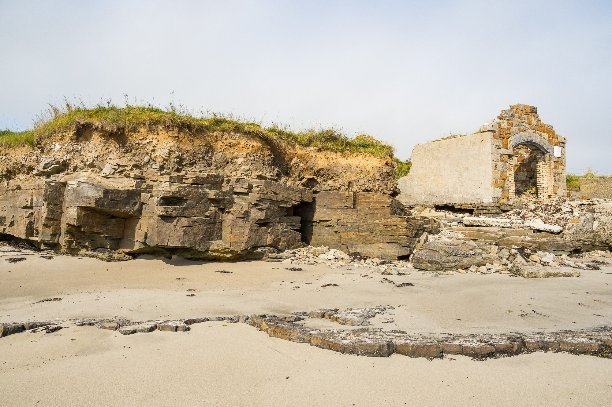
Eventually you reach the end of the formation and a meet mysterious stone ruin.

I’ve read online that this was a lifeboat station, which would make sense. It’s not surprising, there have been many reported shipwrecks in Killala Bay. Some of them are wrecked intentionally:
In 2025 a smugglers ship was sunk to create an artificial reef after a campaign by the local community. Asbestos and other polluting materials had to be removed from the ship’s structure before it could be sunk.
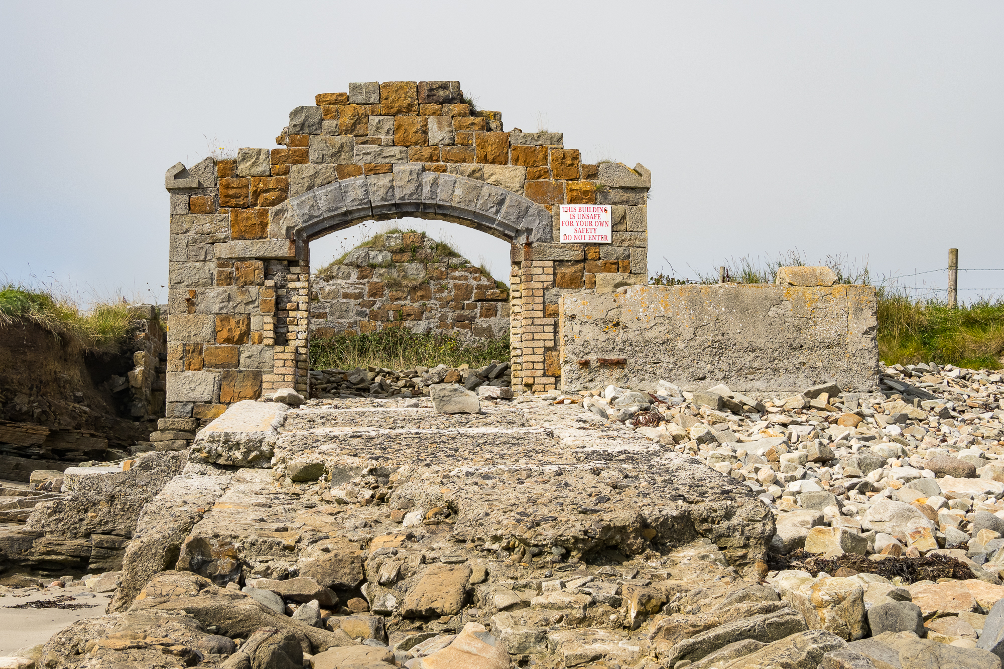
This photo shows a stone jetty that has largely been destroyed by the waves over the years. I can’t find anything else about this structure online. Do you know? Please add a comment.
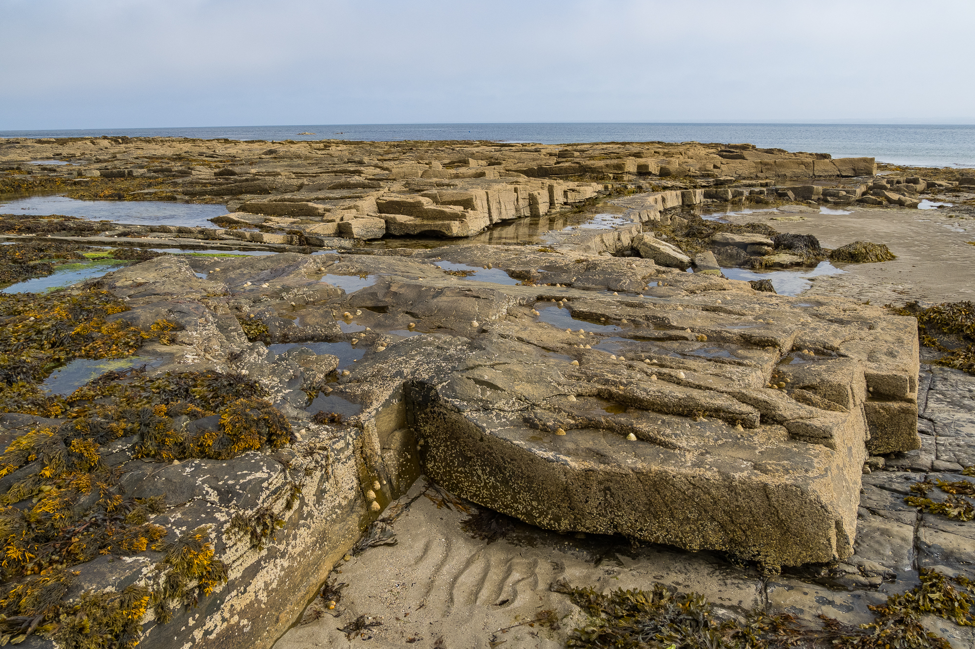
The Mullaghmore Sandstone Formation (TBC) spreads out to sea, complete with seaweed and limpet shells.

Limpets are fascinating. I read a great article about them in British Wildlife (apologies to the Irish wildlife). Limpets’ teeth are the strongest material in the world. They are also able to change sex more than once. This species is the common European limpet, a type of sea snail. Above them are more barnacles.
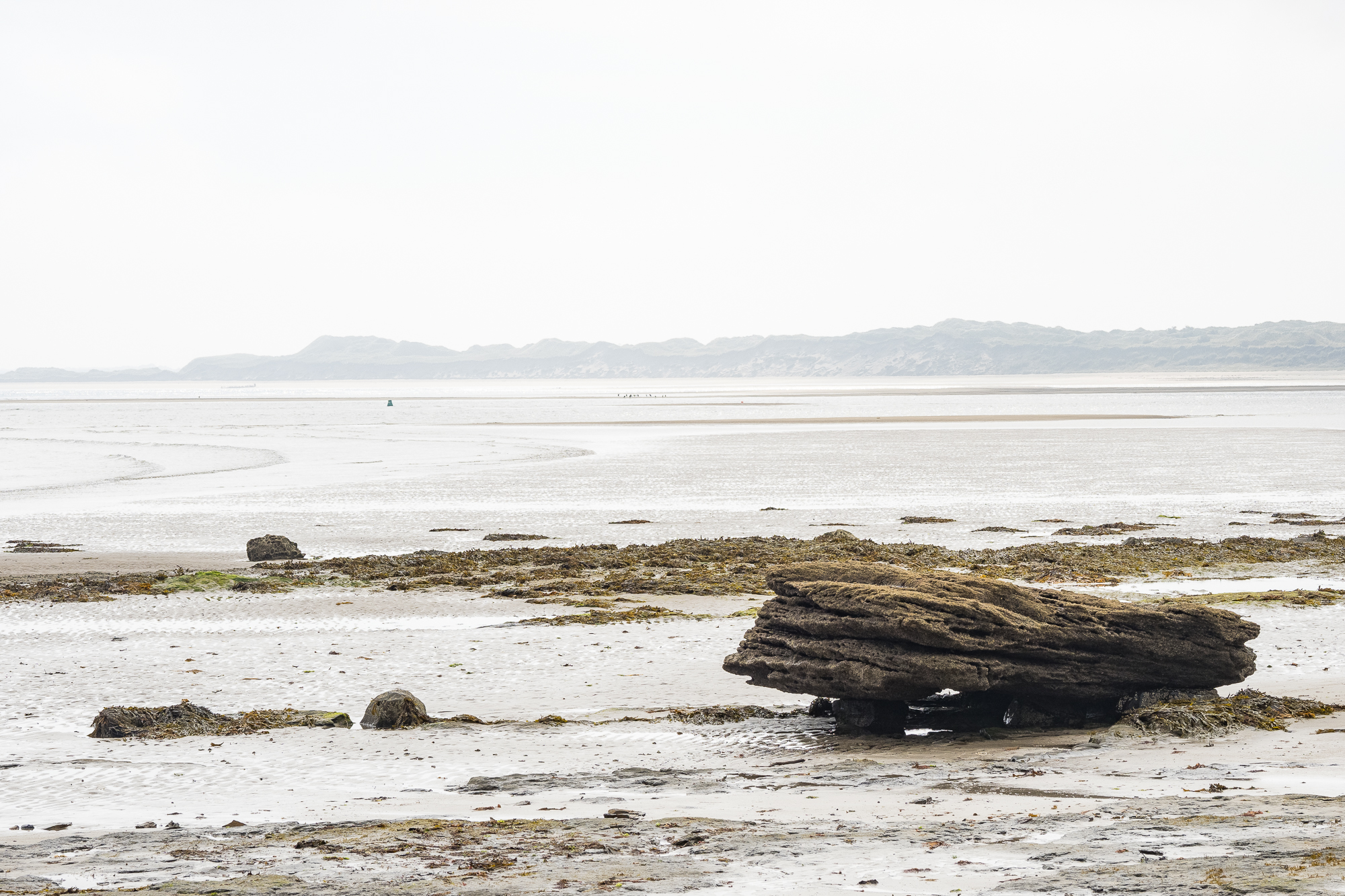
There was a Country Diary entry in August 2026 where a writer lamented the sight of children killing limpets with hammers in south-west England, their parents unbothered. No such behaviour here, folks.
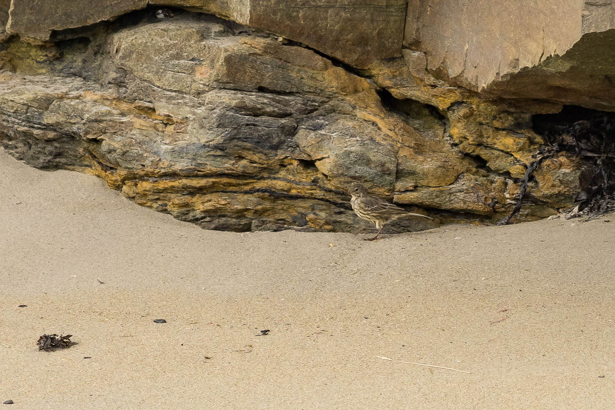
I’ve seen rock pipits on most visits to the area. They’re usually hopping between rock and sand.
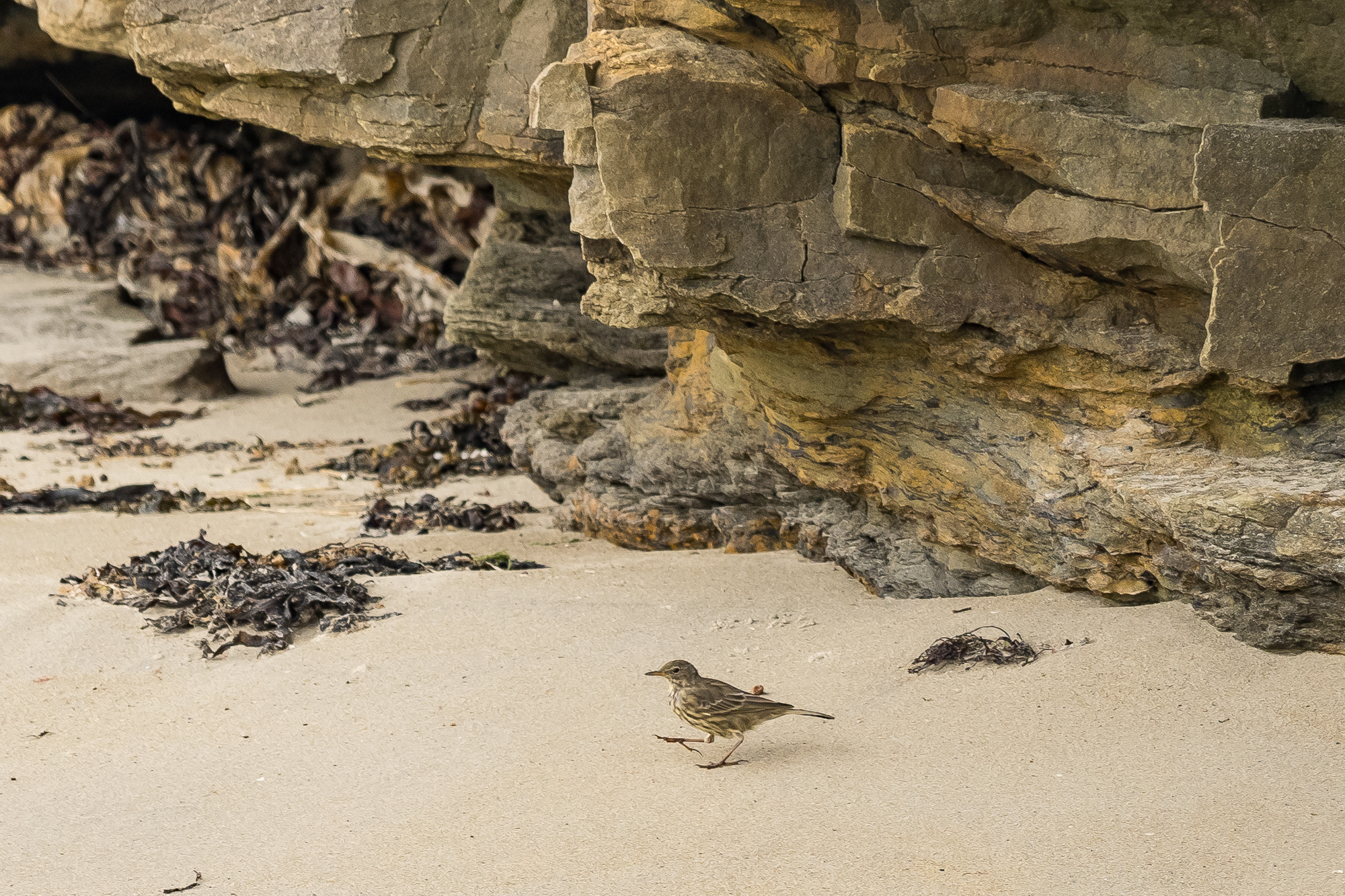
Rock pipit on sand.
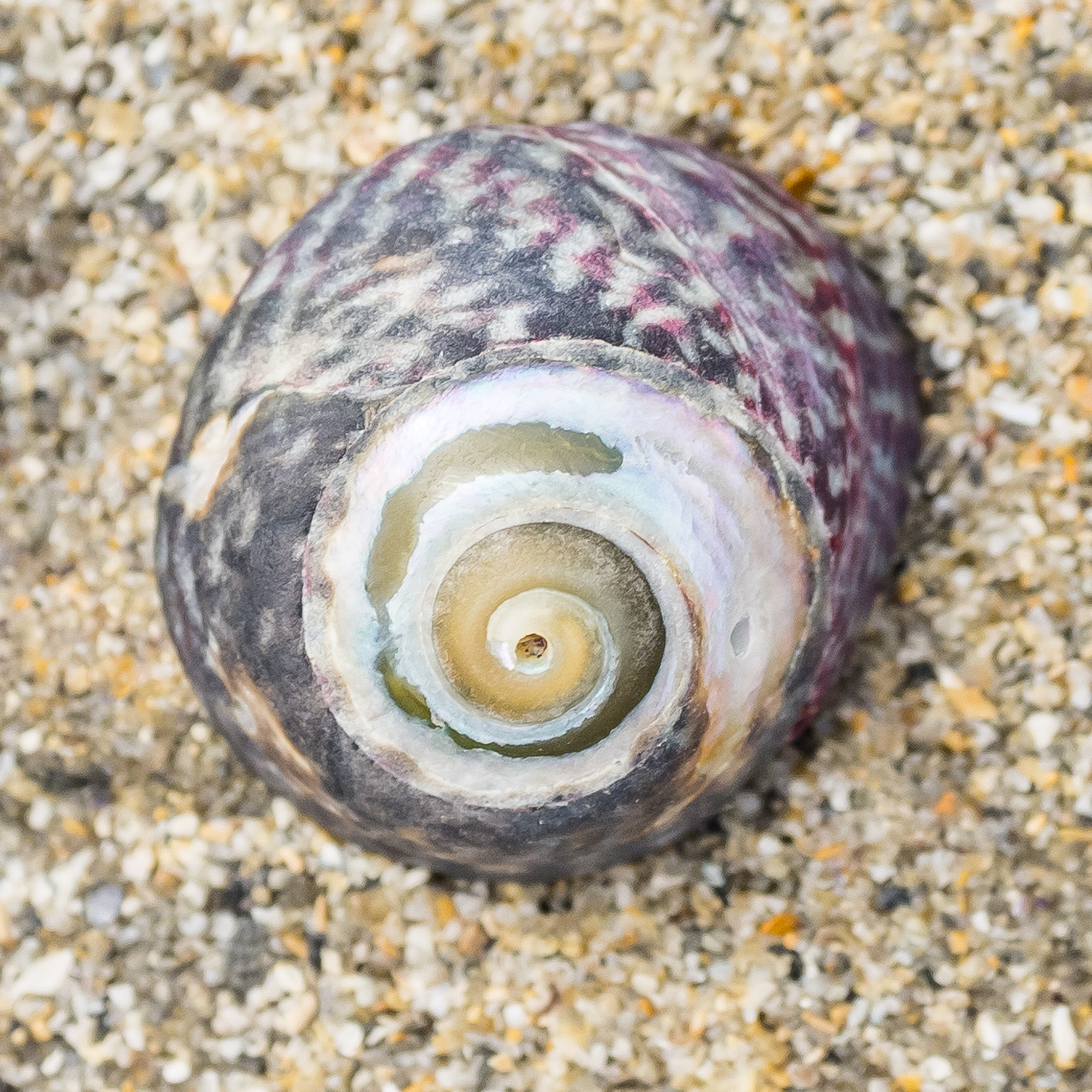
This bewitching snail shell belongs to a purple topshell (Steromphala umbilicalis). Looking at the map, they appear to have a very westerly coastal presence, found as far south as Morocco.
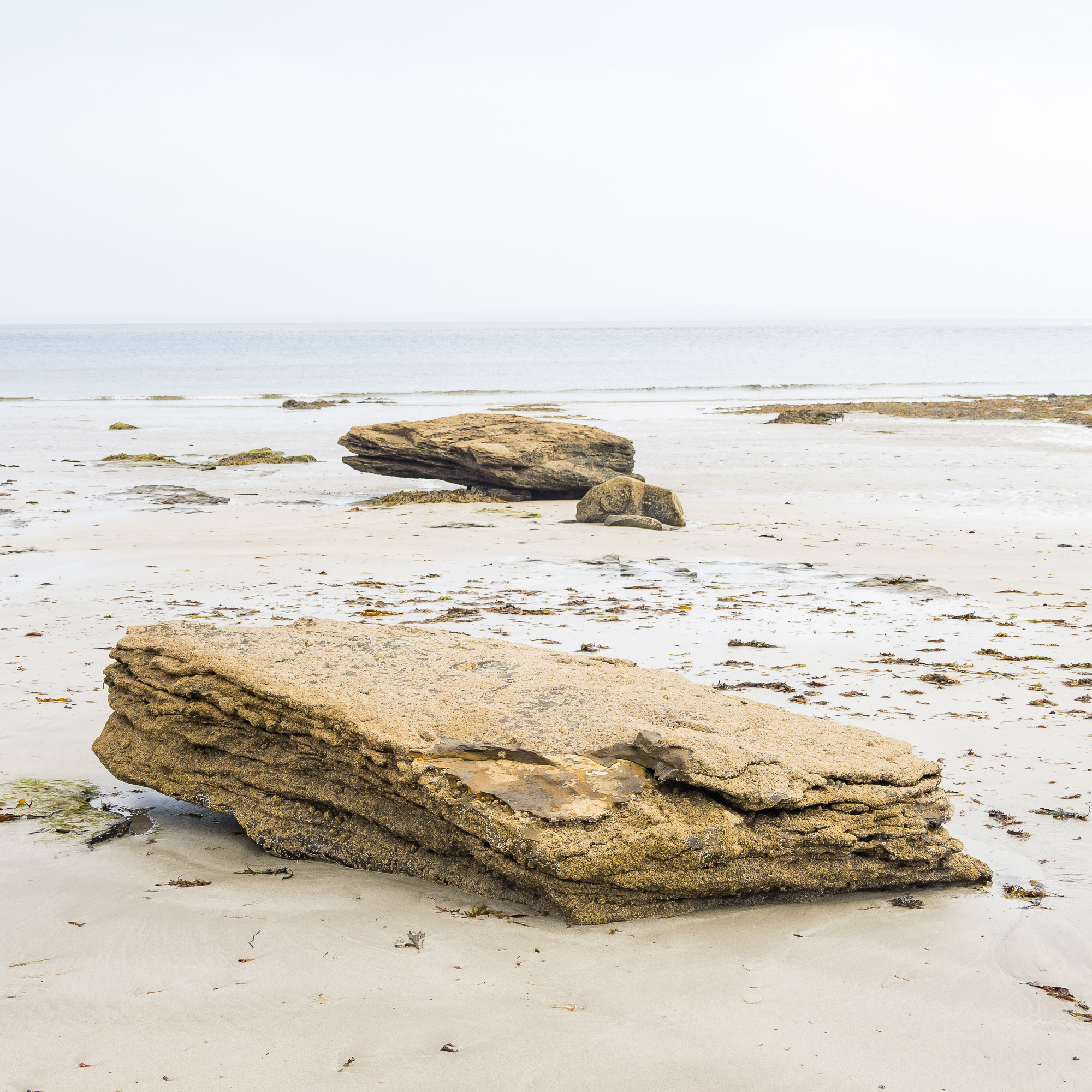
Rock on. Thanks for reading.
More posts about Ireland:


