Helvellyn in the Lake District 🏞️

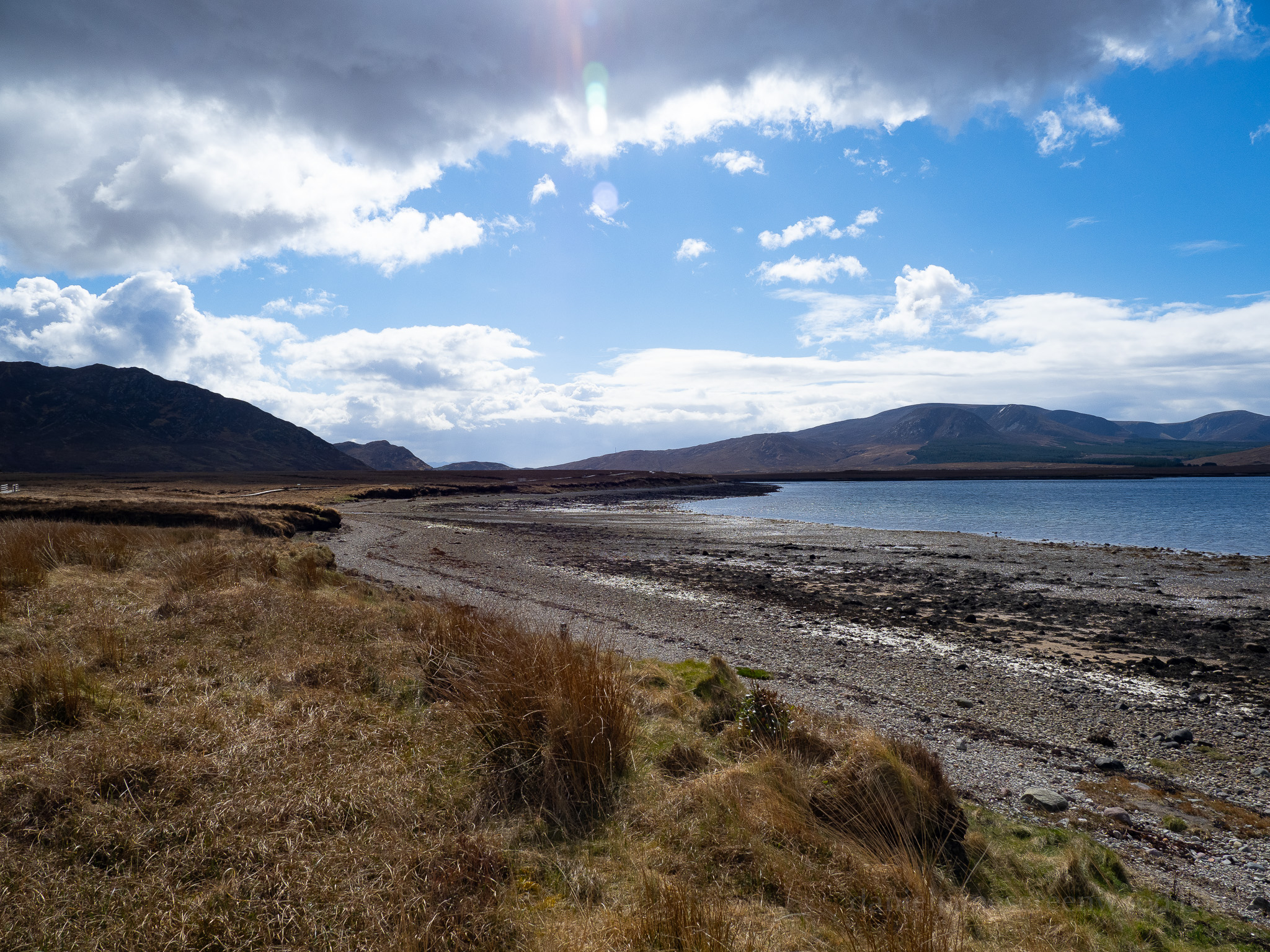
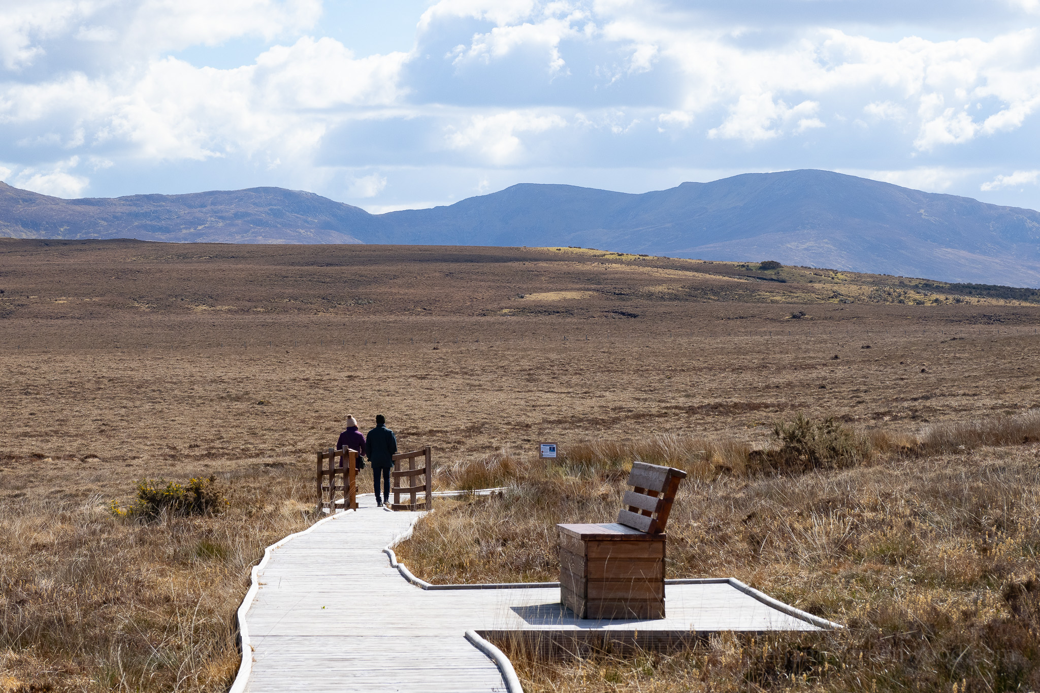
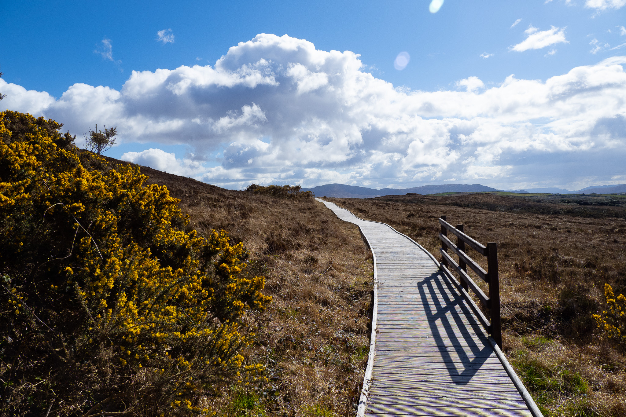
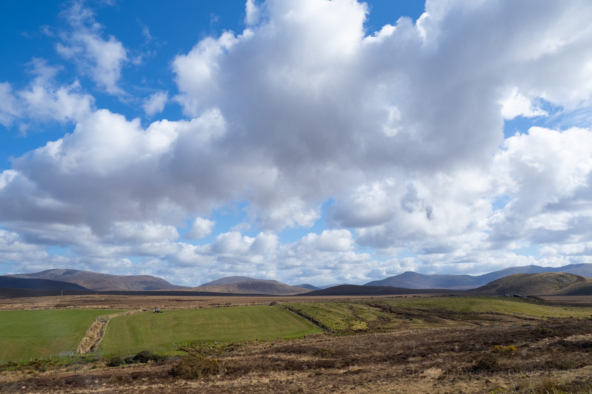
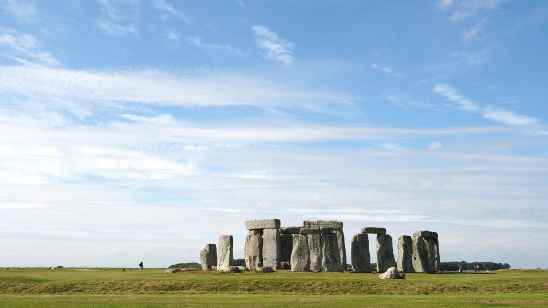
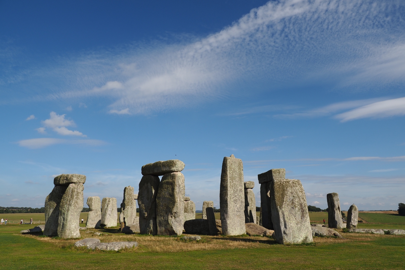
Helvellyn, Lake District, July 2023

It was a bright, humid morning as we set out for Helvellyn. On the winding track towards Red Tarn, we met a man, perhaps in his 70s, who was completing a ‘recovery run’ by trekking deep into the hills. I laboured behind him, kind of in awe, as he split off from the main trail, having extolled on us the dynamism of the landscape, its rich industrial past. He loved it, he said, before disappearing into the valley, off the track.

The trail was busy, with a variety of northern accents carried on the wind below the peak of Catstye Cam. Best of all perhaps was the Geordie-lilt of a group of women working their way up the hill. The Lakes are the northerner’s South Downs, their Sunday playground. Unlike these folks from the north-east, I have to admit I found the humidity stifling. 

We rounded the hill and met the steep-sided bowl of Helvellyn, Red Tarn glimmering at its base. Here we encountered one of the strange tiers of mountain or hillwalking, where new ranges appear, delivering you from previous zones within the landscape. Your psychological experience can be altered completely. I have vivid memories of walks in mountains in the past 10 years when these changes took place, whole new valleys appearing from beyond the horizon. It makes it all worth it.

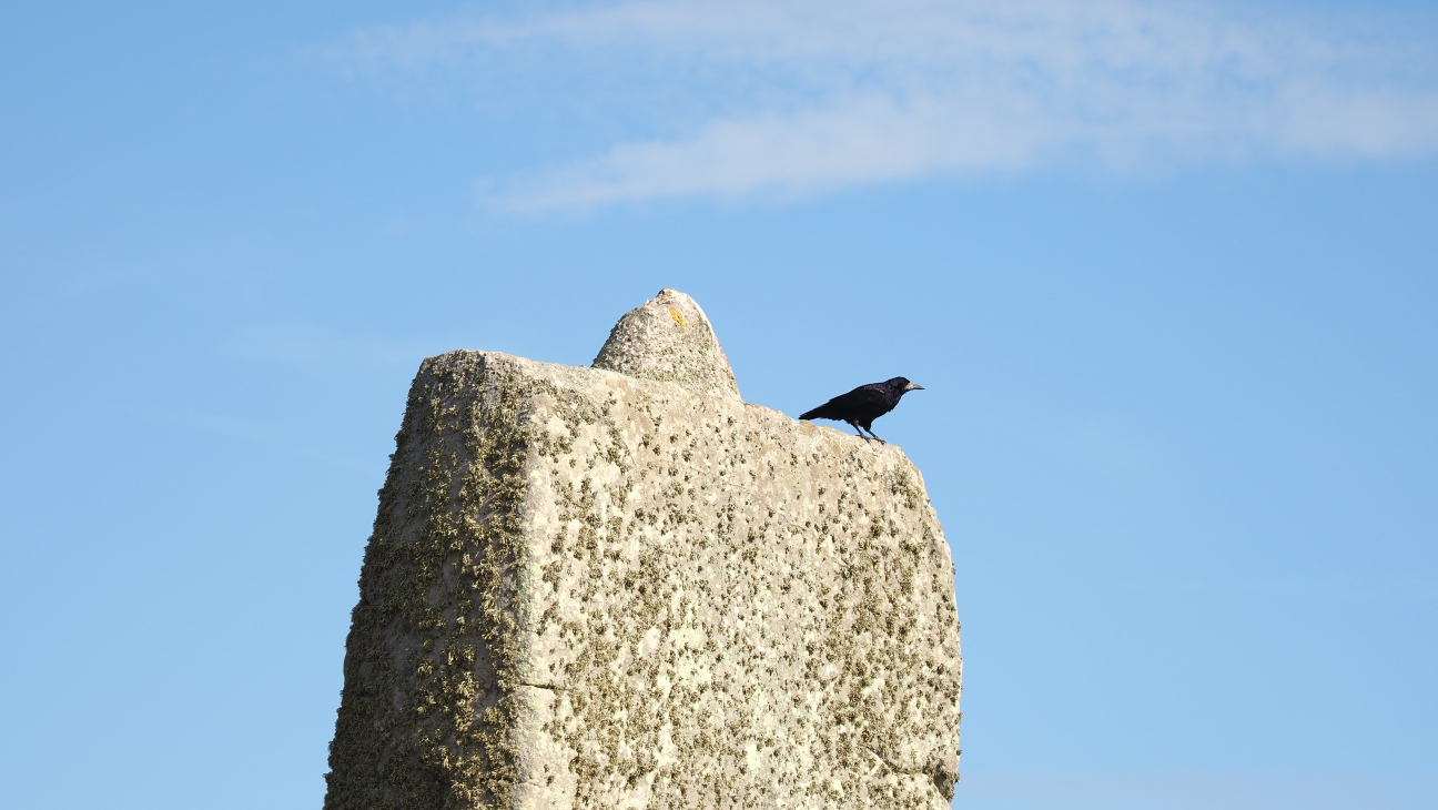
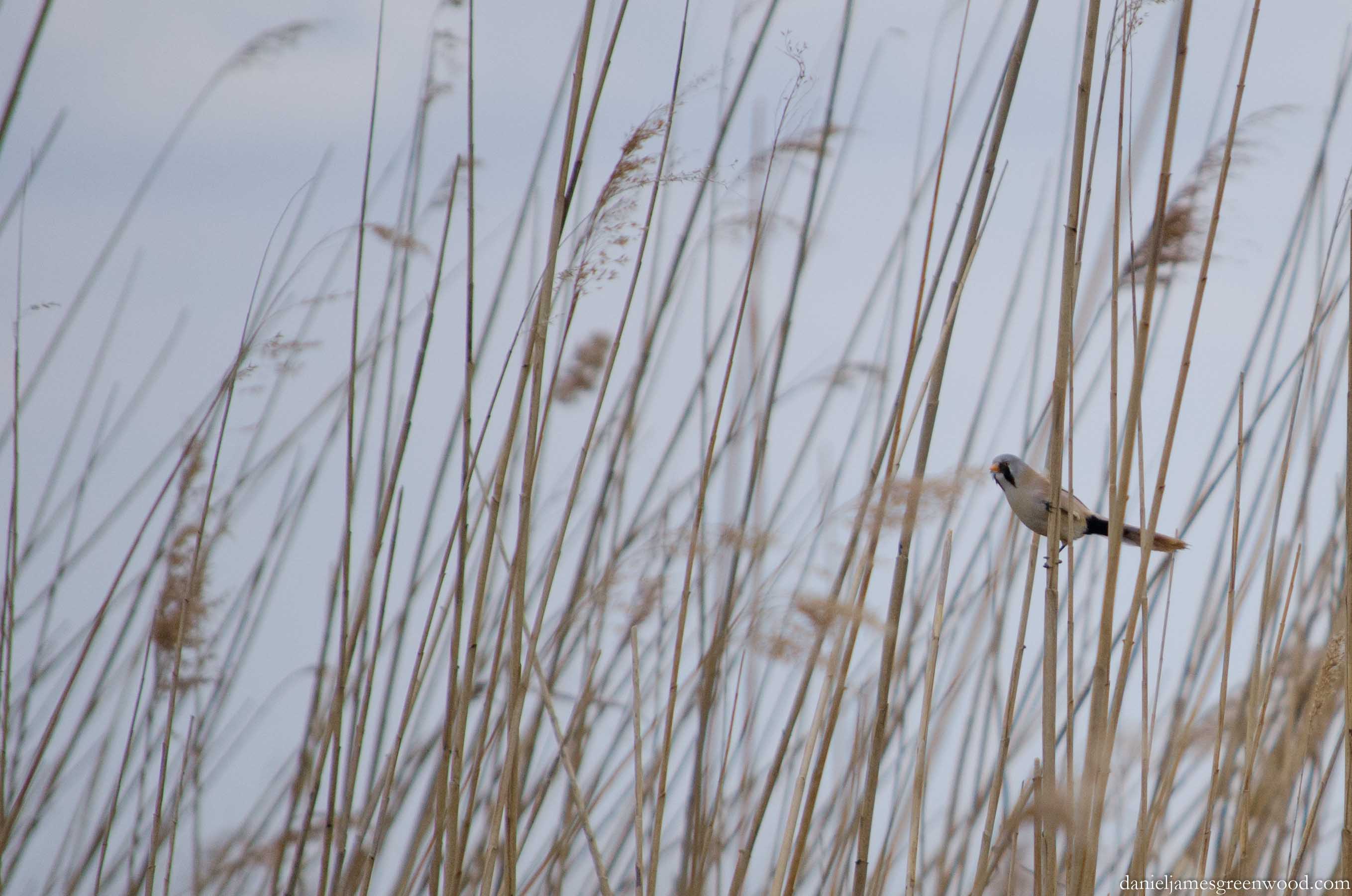
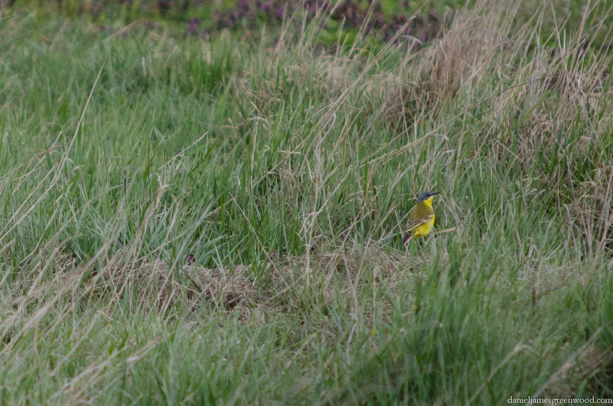
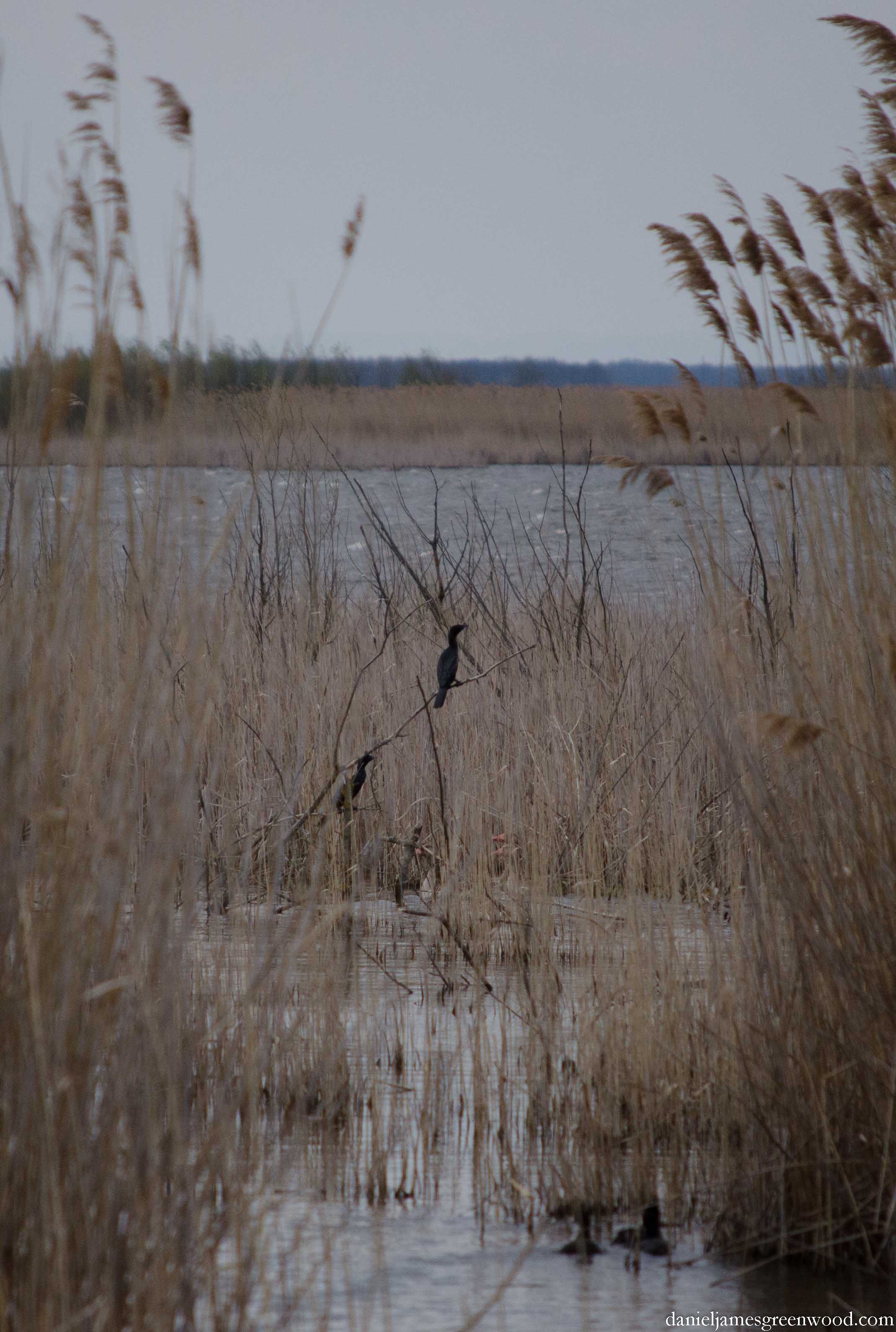
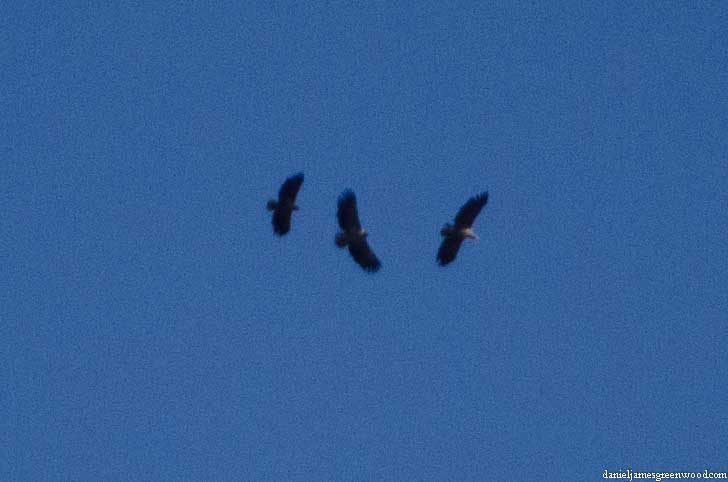
My companion, Pete, spied ravens and lesser black-backed gulls. He’s a ‘top birder’ and professional conservationist of serious skill and knowledge. Having not spent much time with him in recent years due to the pandemic and the birth of his first son, I had forgotten just how much he has taught me over the years, and how being in his company sharpens your own senses.

‘Clever,’ Pete said of the lesser black-backed gull. ‘Going where the food is’, as in any leftovers from the large groups of walkers high on the summit.

In the distance we saw perhaps 50-100 people on a group walk cutting up a desireline on the hillside, in order to meet the famous Striding Edge from down by Red Tarn. On other days we saw families traipsing up from Glenridding as they sought highlines across the ridge towards Striding Edge.

We opted for the ‘gentler’, shorter route of Swirral Edge. We had to wait for some time as others scrambled down the sharp, jutting slabs of rock, often on their backsides! I was glad to be ascending, only looking into the rocks rather than down into sheer drops. When I did turn to look over my shoulder, the view contained the sublime vista of Ullswater.

Reaching the summit was like accepting an invitation to a special alpine (maybe not quite ‘alpine’ in official terms) community. Two dogs tried to eat my lunch (of course). Those ravens we had seen earlier toed the edge of the escarpment, one hopping sideways along with the wind. We sat there and took it all in.

After a break, we made our way north along the ridge passing up and down over several small hills, with Thirlmere in the west. Down into the valley we had first climbed from, we could see the grey structure of a dam, something the recovery runner had identified to us as being related to the Greenside Mine. One of the dams in the area burst in the 1800s, causing huge damage downstream.

We encountered the unusual sight of two men hiking together in different Manchester football shirts – one in the deep red of United, the other, a hint of a grin on his face, in the baby blue of City. Rivalries die in these hills.

At Sticks Cross we turned east and found ourselves in a far wilder and more ecologically rich valley. The path edged the slopes of Sticks Gill, flowing down towards Glenridding. Here we had entered the margins of National Trust land, where the hills were touched by heather and bog.

The yellow of bog asphodel was smattered among the heather.

In small boggy patches the red rackets of round-leaved sundew could be found among sphagnum moss. Here we were haunted by a small fritillary butterfly that never waited long enough for a photo or closer viewing. Bees flew in numbers unseen near Helvellyn.

This rich landscape began to break away as the scars of the mining industry, once of global significance but now over 60 years in the past, appeared. The lunar expanse was testament to the long history of lead mining in this area, explored as far back as perhaps Queen Elizabeth I, according to the information boards in the youth hostel.

Taking paths cut through the spoil and rubble, there came a wonderful zigzag of crouched woodland. Juniper trees, some potentially of veteran status, covered the steep hillside as it fell away to the epicentre of the mining industry, now marked by the youth hostel and other accommodation. Some of these houses had been newly renovated with estate agent signs noted some as sold. As we sat in the YHA after this walk, a man came in asking for more information about who had bought the houses. It reminded me just how invested people are in this place, the YHA included, which I was only visiting for the first time.

The YHA is currently selling off a large number of its hostels as the financial impact of the Covid-19 pandemic spreads.

High on that juniper ridge, aspens and pines grew, while foxgloves dropped their socks towards seed as their season closed. Pete had said how he wanted to see an emperor moth and he got lucky when he found a large green caterpillar moving among ballast at the path edge. We confirmed it via a combo of iNaturalist and messaging my mother-in-law!

In the end it was a walk of around 8 miles, but it felt like much more due to the climbs. All worth it – the rewards were immense. Dear Lake District National Park – I’m sold.

Thanks for reading.

Latest posts:

Dartmoor: finding Grimspound in the mist 🛖

Dartmoor, Devon, May 2023

It was a misty morning high on Dartmoor. We began walking from Bennett’s Cross, passing Birch Tor and heading through wintry heather moorland. The white tails of wheatears burst across the paths as we disturbed them. Their journeys here are some of the longest undertaken by any migratory animal on the planet.

After a short plateau in the moor we crossed a quiet road and ascended Hookney Tor. Here the mist came in from the north, sucking up the wider moor, and the long stone wall that framed views in that direction. We switched east to pick up the unsigned Two Moors Way and walked between the rocky eruptions of Hookney Tor.

As we continued down on the Two Moors Way, a grey bird cut across the edge of the visible moor, some 25ft ahead, before the land was hidden by the mist. It was a male cuckoo, another African bird looking for a mate to breed in this harsh terrain.

The cuckoo slid away into the mist and we headed south for our prize – the 3000 year old settlement of Grimspound.

Approaching, only the collapsed stones of the outer enclosure were visible, painted white by the crust lichens that thrive on Dartmoor stone. In the distance we could hear the voices of other visitors to this ancient place. A family were visiting, posing for photos inside one of the small enclosures that had been rebuilt.

Entering into the ring of fallen stones, the smaller huts came into view. This wall will have been intended to protect the inhabitants and their livestock from wild animals like wolves (now long extinct) and any attacks from other people.

Thanks for reading.

Dartmoor

Night photography: an Orionid meteor in Dartmoor’s dark skies ☄️

On Sunday 30th October I was admiring Jupiter in Dartmoor’s pitch black skies when what looked like a satellite skimmed above the tower of the illuminated church (header photo only viewable in browser).

At first thought it was a satellite due to its steady glide, but then satellites don’t usually burn up in the atmosphere, which is what this object did.

Orionid meteor by Brocken Inaglory via Wikimedia Commons

It later turned out that the trail of light was part of the Orionid meteor shower. Above is a photo kindly donated to Wikimedia Commons to illustrate it.

This Orionid was seen outside the peak for this shower. It was even more lucky because the weather surrounding those nights had been pretty much torrential rain and the night sky had been tucked away behind cloud.

The Orionids aren’t anything to do with the constellation of Orion directly, but are so named because they appear nearby and their naming helps people (like me) to locate them. These meteors are actually fragments of Hally’s Comet, which you may have heard of.

Jupiter seen through the leaves of a silver birch tree (Dartmoor, November 2022)

This is a great time to observe the night sky and take in all the night has to offer. Redwings are arriving in their thousands and can be heard even over the most built-up and light-polluted parts of the UK. While the Orionid meteor flashed across the sky, redwings were covering the night sky in their own, invisible but audible way.

A few nights later the skies cleared after days of heavy rain and high winds. This gave a good chance to look at Orion, which was fixed perfectly from the back of where I was staying at the time of viewing:

The constellation of Orion: Dartmoor November 2022

Cropping a bit closer you can see the fierce glow of the Orion Nebula in the bottom right-hand part of the image:

Also prominent and not too far from Orion was the Pleiades:

The Pleiades: Dartmoor, November 2022

I’m using a new camera (Olympus EM-1 MIII) at the moment which has the ability to autofocus stars with a special feature. It didn’t actually work that well for me, though I was taking these photos handheld and may have had the settings wrong. It was a spur of the moment kind of thing, as much as my astrophotography attempts are to be honest!

I was really drawn to this large bright star to the left-hand side(!) of Orion. I need to be better at noting the locations of stars in relation to other constellations. Looking at Stellarium I think it’s either Mars or Betelgeuse.

Thanks for gazing.

Further reading: Night photography

Latest from the Blog

November 2025: beware of pity

I’ve had a burst of American visitors in recent days (to my blog, not my house). So thanks for visiting, y’all, and sorry about the year you’ve had. You may have noticed I’ve slipped to monthly posts on here. Between April and October I posted blogs every Monday without pause, which is a tricky task…

Summer-autumn 2025: unveiling the sun

Here’s my seasonal update of stuff you don’t need to know about, but then welcome to the Internet. What I’m writing Soon I will be self-publishing my third poetry collection, Fool’s Wood. It’s seven years since my last one and this collection has taken longer because of LIFE. There will be a booklet and also…

A trip to Wild Nephin National Park 🇮🇪

In March I visited Wild Nephin National Park at the Atlantic edge of Ireland, in Co. Mayo. I thought it was called Ballycroy National Park, but the name seems to have been updated.

The mountains here are the Nephin Beg range. There’s a great visitor centre here and a brilliant cafe run by a very friendly couple. I’d seen these mountains from afar for years but this was my first time in the National Park.

The National Park itself is said to be home to golden eagles, which I hadn’t realised were present in Ireland. It’s also where one of Europe’s largest blanket bogs resides, a special type in this region known as Atlantic blanket bog. Great name!

If you want to read more about this landscape I would recommend Sean Lysaght’s book Wild Nephin. Copies are available in the cafe also. I really recommend it, also Sean’s poems.

I’ve tried to work out the names of the mountains but may have some of them wrong. I’d welcome corrections in the comments and will amend.

Here are some images I took during our visit to Ballycroy:

Nephin mountain
Scree and stream bed on Nephin
Mountain I don’t know the name of with cottage for scale
Croagh Patrick, possibly the most famous mountain in Ireland
Mulranny view towards mountains
Sheep with lambs
View of Croagh Patrick from Mulranny, across Clew Bay
Cleggan Mountain Trail (boardwalk just visible on the left) and view towards Achill
Cnoc Leitreach (Owenduff Hill) I think!
The Ballycroy visitor centre boardwalk loop
Sunny day in Ballycroy
Gorse in flower
Inishbiggle mountain (I think)
Views towards Nephin Beg mountain range
Local farming in Ballycroy
Abandoned farmstead near Ballycroy. Note the succession of rushes, grasses and gorse onto the green of the ‘improved’ grassland.

Thanks for reading.

The Jurassic Coast 🦖

Some images I’ve been meaning to post for a while from a visit to the Jurassic Coast in Dorset in September 2021. Some of the colouring in the images has come out a bit extreme and though not completely true to life or consistent across the pics it does give some of them more oomph!

The Jurassic Coast is one of the most significant places for fossils in the UK, and a site of many landslips – with one taking place not long after I was there. I remember looking at the area which did collapse and thinking how different it looked to other areas. I first visited this area in 2011, which was the year I launched this website, and my experiences in Dorset inspired me to set it up.

Stonehenge: lumps and bumps in the landscape

In September 2021, on the way back from a visit to Dorset, I managed what birders call a ‘life-tick’. This wasn’t a case of dropping in on a rare bird to add it to a life sightings list. No, instead it was visiting the World Heritage Site of Stonehenge for the first time in my life.

Many people in southern England will have witnessed Stonehenge’s standing stones as they crawl along the A303 in Wiltshire. But how many notice the many burial mounds?

How many people knew (maybe before they watched The Dig on Netflix) that the stones were a minuscule part of the site’s wider significance? That the site itself is a vast burial ground, with lumps and bumps (as seen above) dotted throughout this part of Salisbury Plain?

I am no expert on burial mounds, more like someone who knows a couple of garden birds when they see them. Burial mounds have different names, often they are classed as a type of earthwork or tumulus. There are bowl barrows, some of which are huge mounds of earth, built up upon the bodies and significant objects or possessions of a person or family. The South Downs have been described as one long ancient graveyard, with mounds evident across much of the 100 mile long ridge. In places like the South Downs and Salisbury Plain, the freshly turned chalk would have stood out for miles in these vast, wide open landscapes. It’s a bit like those of you with white Range Rovers or Teslas sitting on your paved-over front garden in Kensington. It’s a status symbol.

When I drive along the A303, perhaps once a year when heading south-west, I ask my fellow passenger(s) to play spot-the-burial-mound in the surrounding fields while I focus on the road. Stonehenge itself is not only special for its stones, it’s about the wider expanse, either side of the A303.

This place is important to many people, even beyond the tourists like me passing through the turnstiles at the new visitor centre. Along a lane that cuts across the A303, people had camped in mini-buses with flags flying high.

I don’t know why they were there, but the scale of the transport shows it wasn’t a stop of for a quick cup of tea.

One thing I loved about the stones was the life that had developed on them. Here you can see the growths of lichen and smatterings of algae.

Far more entertaining and animated than the lichens were the flocks of starlings sheltering from the gusts of wind (although it was actually quite hot) in the crevices of the stones.

Their behaviour was autumnal, gathering into groups, whistling and clicking. They will have been in this place when the stones were constructed thousands of years ago. Their numbers must have been incredible.

In addition to the starlings were rooks, a crow of ploughed land with a bill that looks to have been dipped in chalk. They will no doubt have found things to scavenge from the millions of visitors who make it to Stonehenge every year. The rook seen here was perched where a stone once was, with the tenon-type part of the rock used to secure the top stones in place when originally constructed.

Thanks for reading.

Photography: The Great Hungarian Plain

Beardie blog pic-1
Bearded tit at Hortobágy-Halasató

In April 2015 my good friend Eddie Chapman and I visited the Hortobágy in the Great Hungarian Plain, a Unesco World Heritage Site designated as ‘an exceptional surviving example of a cultural landscape constituted by a pastoral society’. Hortobágy is a small town in the heart of the Hortobágy National Park, three hours east of Budapest by train and a little bit to the west of Debrecen. The area is a magnet for wildlife enthusiasts and we were visiting on our way to Romania by train. The main focus of our visit, being without a car and dependent on public transport, was the fishpond complex known as Hortobágy-Halastó (Halastó meaning ‘fishponds’ in Hungarian). Halastó was ‘dripping’ with birdlife. This vast area of water was cut through with a single gauge railway (which we never used) and a mile-long, single file footpath. We saw a long-eared owl sleeping in a bird box, six eagles in the sky at once, marsh harrier at every turn and many other wonderful species. In the town, storks cavorted in front gardens and battled for prominence on streetlamp platforms placed there to support the storks. I had wanted to visit the region for several years after reading Patrick Leigh Fermor’s 1934 account in Between the Woods and the Water, as the teenage Fermor travelled from Rotterdam to Instanbul on foot. To see this area of land over ground hid none of Europe’s failings: people living in rubbish, vast areas of land devastated by extractive industries, huge infrastructure projects half built and deserted, rivers channelled, concreted and their banks denuded, and more rubbish, so much rubbish. But we met wonderful people who invited us into their homes and villages and guided us around the lands they call their own. The wildlife we encountered, for an early spring visit, was incredible. I recommend the excellent Crossbill Guide for anyone visiting.

Hortobagy blog pics-2

The Great Hungarian Plain or ‘Puszta’ is known for its flatness. The phrase Puszta was created after the Magyar (Hungarian) population was decimated in the 1200s by Mongol invasion and then the black death. It refers to the emptiness of the landscape after those devastating events. The Magyars settled in the Great Plain at the end of the 800s and they are seen as the founders of the land we now know as Hungary.

Hortobagy blog pics-4

230-140 million years ago the Plain was covered by the Tethys Sea, which is described as ‘the mother’ of the Mediterranean. Later, the Pannonian Sea was created with the formation of the Alps and Carpathian mountains surrounding it. The eventual draining of water from the landscape led to a unique mixture of soils, namely loess and clay, the former created when glaciers grind down underlying bedrock. As a student I read Anton Chekhov’s The Steppe and other stories and fell for these endless landscapes and the people (in Chekhov’s case Russian) who had to live from them. Chekhov didn’t miss their wildlife though, his short story The Steppe reveals its hidden life, death and beguiling beauty. As in Chekhov, first impressions of the Great Plain give the sense of a deserted landscape. In reality it was alive with wildlife: white stork, buzzard, roe deer, corn bunting, butterflies, wildflowers, boxing hare, red fox. These were only the things we could see. We missed the steppe tarantula and ground squirrels.

Hortobagy blog pics-1

In the town of Hortobágy white storks were a common sight. They arrive in spring from their wintering grounds in Africa, building their famously large nests on platforms erected to support them. We saw tens of white stork in the town itself, some seen at dusk walking around in front gardens, sometimes in very small spaces. From a distance they looked like people, blurred either by heatlines or crepuscular light. We noticed that house sparrows were building nests of their own underneath the mass of twigs put together by the stork. There was tension between the storks with a number attempting to intrude upon the scene pictured above. The birds are silent but for a bill ‘clacking’ gesture, evidently territorial.

Hortobagy blog pics-7

Yellow wagtail is a spring migrant to Europe which is in severe decline in Britain. There were a good number of them on the Plain. Being bright yellow with a grey head, it’s easy to mistake the more urban and common grey wagtail for this bird.

Hortobagy blog pics-27

The only way for us to get around was to travel by train, the only time that we were really able to mix with local people. For the untrained, Hungarian is a pretty inaccessible language, with no relation to Latin or Western languages, it descends (or ascends) from Finnish. We tried our best but could only really master egészségedre (‘to your health’ or ‘cheers’) after a week in Hungary. The railways were typically post-war Communist, pumping out black fumes and chuntering along. But they were always on time and provided a lifeline for people who had no other means of transport. No one gets around on horseback like they did when Patrick Leigh Fermor visited in the early 20th century, when ‘carts drawn by horses and oxen easily outnumbered the motor cars’ (p.44).

Hortobagy blog pics-24

Both Eddie and I were struck by the struggles of people in the places we visited. It was at times impossible to see the trip as a holiday, particularly because of what we saw from the windows of our train as it passed from Debrecen over the border into Romania. I like old buildings crumbling around and lament their loss from London (I know there is a housing crisis) and took a few photographs of some that were around the Halastó station.

Hortobagy blog pics-23

Having travelled in the Czech Republic and Poland, I’m not a big fan of what communism has done to the landscape. The former Soviet Union has also contributed greatly to global warming with its industrialisation of much of rural Europe. Its architectural merits are also lost on me. I’m not a fan of what modern capitalism is doing either, via agricultural intensification, oil and fracking. But agricultural intensification is something that communism welcomed with open arms, rounding up the smaller farms and destroying millions of hectares of natural grasslands, woods and rivers in the process. Today agricultural intensification is the biggest threat to the steppe grasslands of Europe and Asia, making them some of the most threatened habitats on earth.

Hortobagy blog pics-26

This was the door to the station building, now housing sparrows. I should say that dilapidated housing and other buildings do not mean people in the area are suffering or unhappy. Here people seemed perfectly content with life on the surface. No one was homeless and the National Park appeared to be offering good support to the local community through ecotourism.

Hortobagy blog pics-13 More charming for the outsider were the individual thatched cottages dotted across the landscape. The evidence of how inhospitable this landscape is for trees can be seen by the two here sheltering next to the cottage. Whether this was used to shelter livestock or dry hay is unclear to me.

Hortobagy blog pics-20

We arrived at the Halastó fishponds on foot. The reeds from 2014 were being cut and piled into these pyramids, neatly put in rows. The thatch from the cottage in the previous image will likely have come from the vast reedbeds of Halastó. The reedbeds supported an amazing array of birds, this even before the spring migrants had arrived.

Hortobagy blog pics-18

Marsh harriers could be seen at every corner of the landscape, flying low over the reedbeds in search of food. Upon leaving, we were shaking our heads at the sheer number of these birds of prey. We missed them when we’d left.

Hortobagy blog pics-19 Another bird of interest for us was the pygmy cormorant, relative of the great cormorant which I know from the River Thames in London, and most waterbodies, really. Seeing these birds perched on branches low in the reeds was like looking back into the prehistoric swamps of Europe.

Hortobagy kes-1

A line of dying trees at the edge of the fishponds were fitted with open bird boxes. The boxes were a form of social housing for kestrels, what I later found to be lesser kestrel (thanks to Nigel Spring for pointing this out to me), a separate species to the common kestrel we have in Britain. There were several more kestrels out of sight but my lens couldn’t quite capture the scene.

Hortobagy owl-1

Perhaps the biggest source of amusement for us was from this long-eared owl which was roosting in the same box three days running.

Hortobagy blog pics-11

Ever since reading the poems of Anna Akhmatova and the film The Cranes are Flying (Mikhail Kalatozov, 1957), I had wanted to see cranes. They are returning to England as a breeding bird for the first time in 400 years, once being a common species of marsh and fenland before their habitat was drained for agriculture. These birds were often eaten by royalty in England. The Latin name Grus grus points directly to the noise they make. These birds flew over our heads as we watched the kestrels and sleeping owl.

Hortobagy blog pics-17

For wildlife to be protected successfully in the long term there has to be some benefit for humans as well. Fishponds have been present in Eastern Europe since medieval times and were created for royalty. Today they have a much more wide ranging commercial value and there is conflict to be found between those who like to pull fish from the water and those who like to watch birds pull fish from the water. Here we happened upon workmen extracting fish from one pond into the back of a lorry.

Hortobagy blog pics-9

Climbing up one of the lookout posts, Eddie happened across six eagles flying on thermals over the fishponds. I managed to get this photo of what we think are mainly white tailed eagles with a possible lesser spotted eagle, though that may have been out of the picture. Later we saw a white tailed eagle sitting in the mudflats of a drained fishpond, taking to the air with deep wafts of wingbeats.

Hortobagy blog pics-14

The sunsets of the Puszta are famous. We encountered this scene on our first day walking back from the fishponds. At this point we were turning back and forth between the setting sun and a pristine red fox trotting along the edge of the path. Corn buntings flocked and roe deer attempted to escape our view with nothing but the blur of the horizon to disappear into.

Photography: Evening meadows

Evening meadows

Evening meadows, Farthing Downs, London, June 2015

It’s that time of year when the meadows are reaching their height. Here you can see the yellow rattle in flower, soon field scabious will appear to be fed on by burnet moths and bumblebees.

Please click through for more of my pictures of Farthing Downs on Flickr

Photography: The Secret Garden

The Chevening Estate

The Secret Garden, Sevenoaks, England, May 2015

I am walking the North Downs Way back to front, upside down and inside out. This is a view to Chevening House, where the British Foreign Secretary resides, currently Conservative Phillip Hammond. I’d rather be on foot.

Click through for my album of North Downs Way pictures on Flickr.