Chanctonbury to Cissbury in the South Downs

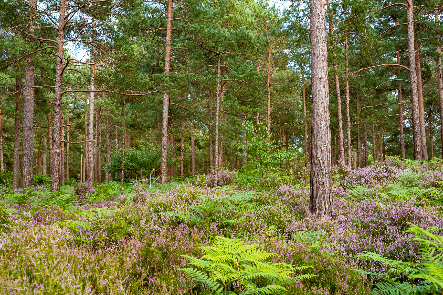
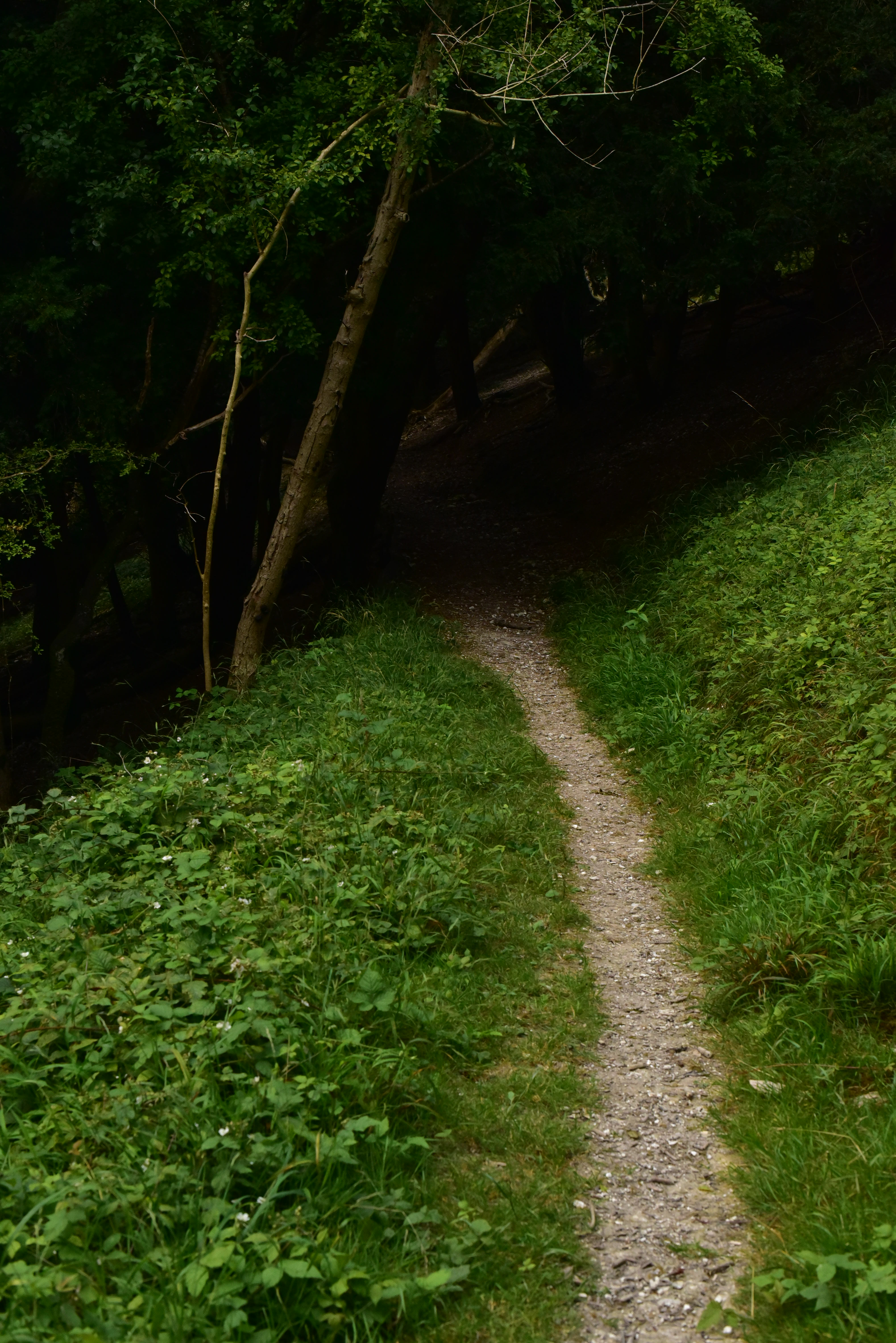
On a warm and clear day in October I walked between two of Sussex’s most famous and well-loved hillforts: Chanctonbury Ring and Cissbury Ring. This is a walk that you can access by public transport, with buses to Washington and then from Findon off the A24.

I didn’t know much about Iron Age hillforts until I worked in the South Downs National Park and had the chance to learn from people working at the National Trust and other heritage experts. Still, my knowledge is not strong on this subject.

It is amazing to think that these hilltops might once have held the equivalent of small villages, using the hilltops to monitor the movement of people across land in the north, and at sea in the south.

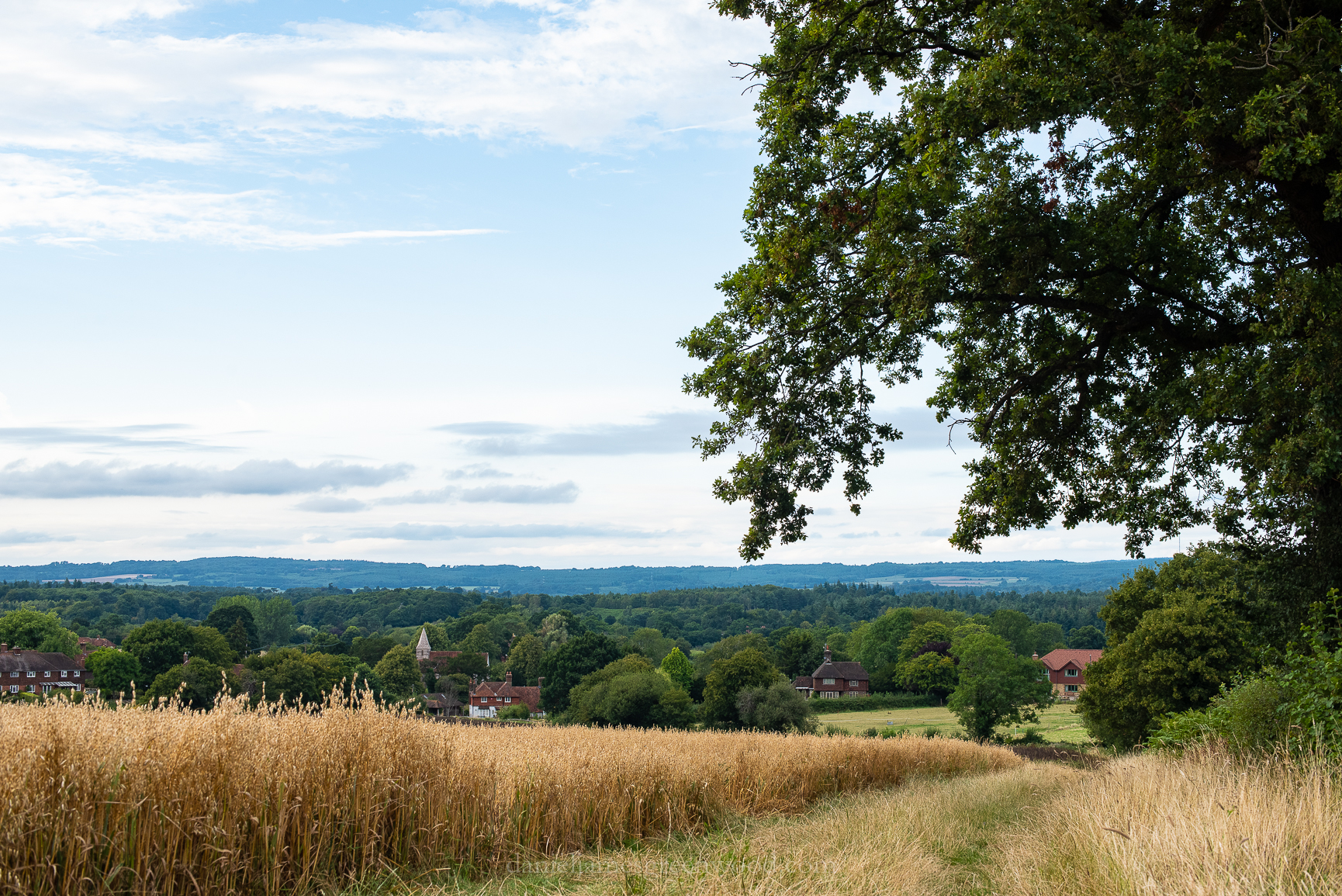
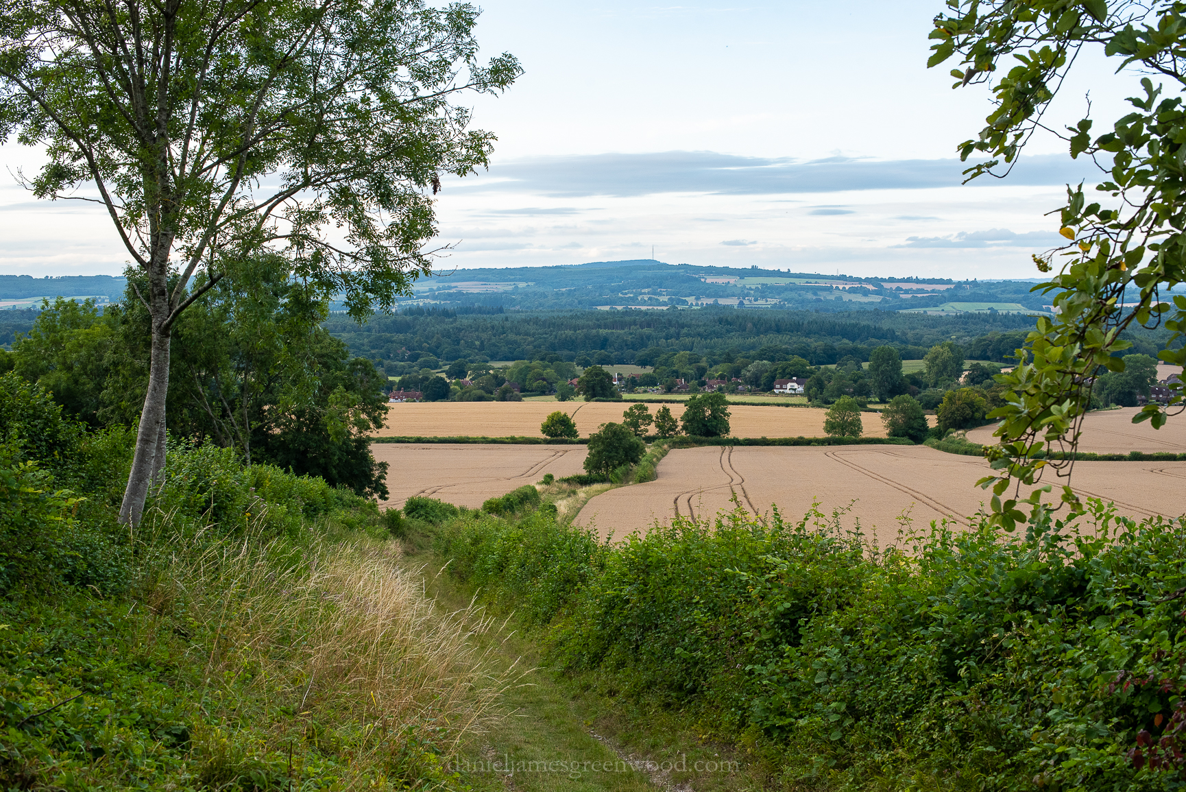
The walk winds its way up through woodland to Washington chalk pits, an old chalk quarry that’s now habitat for butterflies and orchids. Here you get good views north to the Greensand Hills where Leith Hill, the highest point in SE England can be spotted (out of shot on the right hand side in the north).

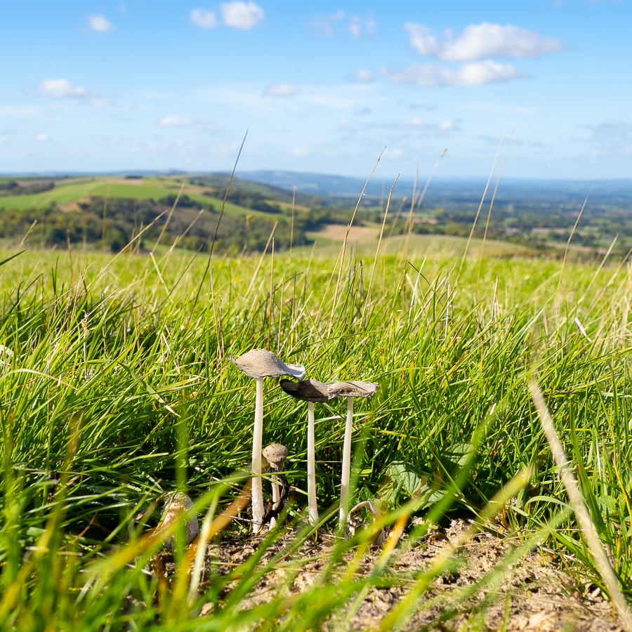
It wouldn’t be a walk for me without the sighting of something fungal. The cow pats in a field approaching Cissbury Ring contained some inkcaps which may be the uncommon snowy inkcap. In the distance the ridge of the Downs bowls away west towards Amberley and the Arun Valley.

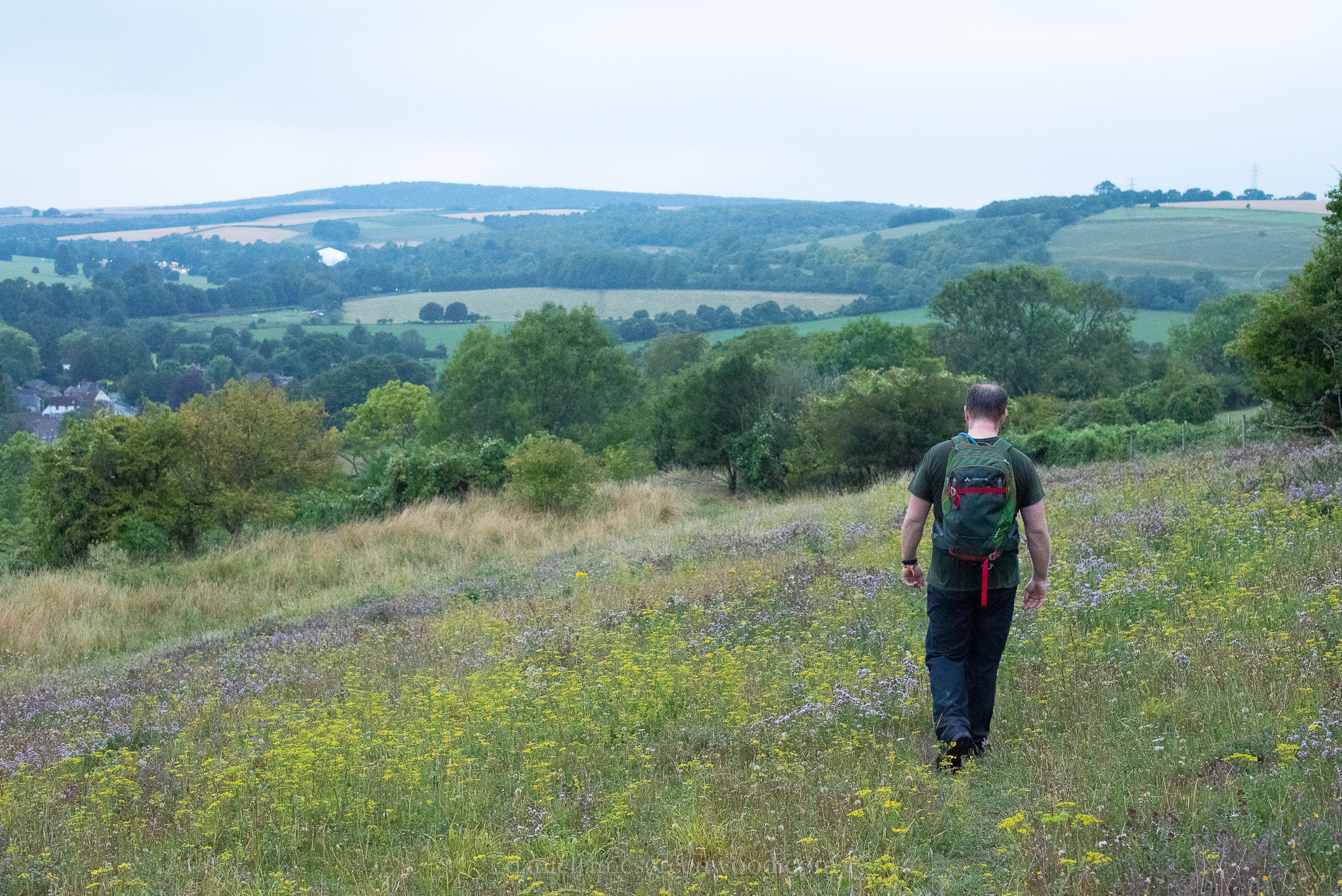
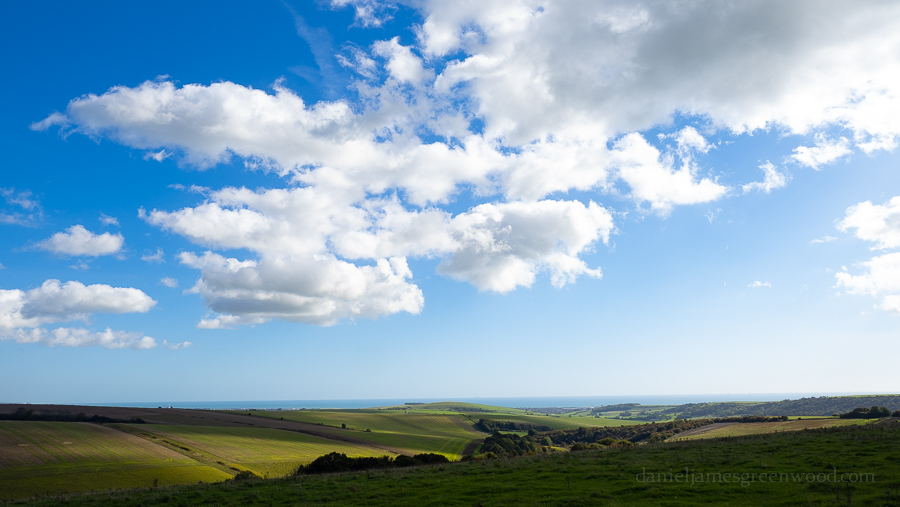
Immediately upon ascending the Downs, you can get good views south to Cissbury Ring, a hillfort much, much bigger than Chanctonbury Ring. In the distance are views of the south coast and, in this image, the Rampion windfarm. It’s named after ‘the pride of Sussex’, round-headed rampion, a flower more common in the South Downs.

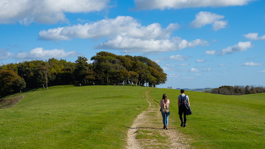
You approach Chanctonbury Ring on the South Downs Way. I like this subtle stretch of the trail, with the beech trees that cover the ring giving a parkland feel.

In the distance beyond Chanctonbury Ring are the aerial towers of Truleigh Hill, home to the Youth Hostel and secret bunkers (apparently).

I first heard of Chanctonbury Ring when reading Robert Macfarlane’s The Old Ways. There are stories of the ring being ‘haunted’, not just by nature writers. It’s a welcome place to sit and rest, taking in the views under the fair shade of the beech trees. You can understand why this smaller hillfort would be such a good location to observe the comings and goings in the surrounding landscape.

Continuing east on the South Downs Way, views of Devil’s Dyke begin to open out. During the walk the site was visible through the glinting of the sun hitting car windows in the National Trust car park!

Devil’s Dyke (what is one of the most dramatic and awe-inspiring parts of the Downs) can be seen in the mid-left/centre of the image where the dark lump of woodland sits atop the ridge. Truleigh Hill is again visible with the masts.

Turning back to look over your shoulder gives a nice view of Chanctonbury Ring. I think the lump of hills in the right hand side of the image is Black Down, the highest point in the South Downs National Park, near Haslemere in Surrey.

Leaving the site of Chanctonbury Ring gives the impression of walking straight into the sea.

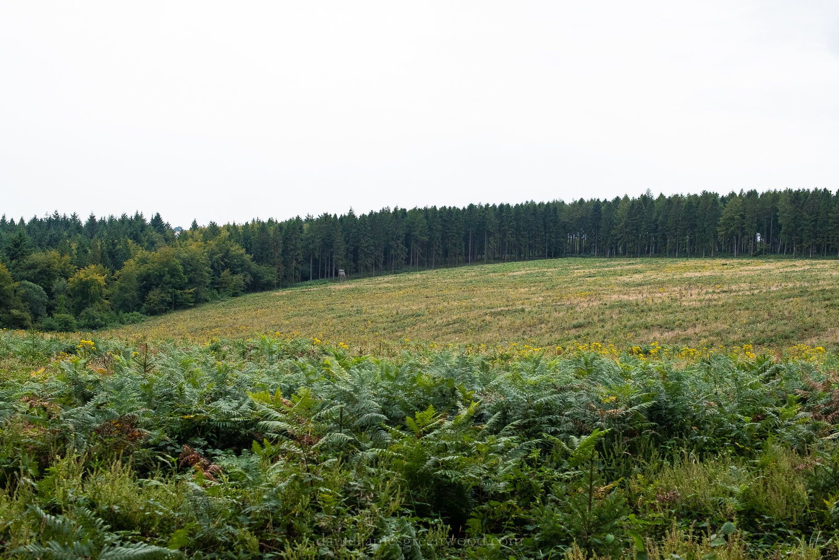
There’s a southern turning to take towards Cissbury Ring and off the South Downs Way. The track leads alongside arable fields and shooting cover. In this view the distant shape of the Isle of Wight is visible in the top right.

The resplendent South Downs set against a ribbon of blue sea and cloud-scattered sky.

Approaching views of Cissbury Ring.

Cissbury Ring is owned by the National Trust, thank god.

On Cissbury Ring there are better views of Brighton and the Seven Sisters cliffs reaching round to Eastbourne. This was a good way to observe the landing of invading armies but probably also to monitor trade.

Out at sea you can get closer views of the white turbines of the windfarm. The development required cables to be dug into the landscape, with a long strip having to be cut through the Downs to reach the electricity terminal. One person I know who lives in Hove said they were comforted by the red flashing lights on the horizon at night.

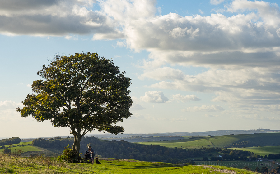
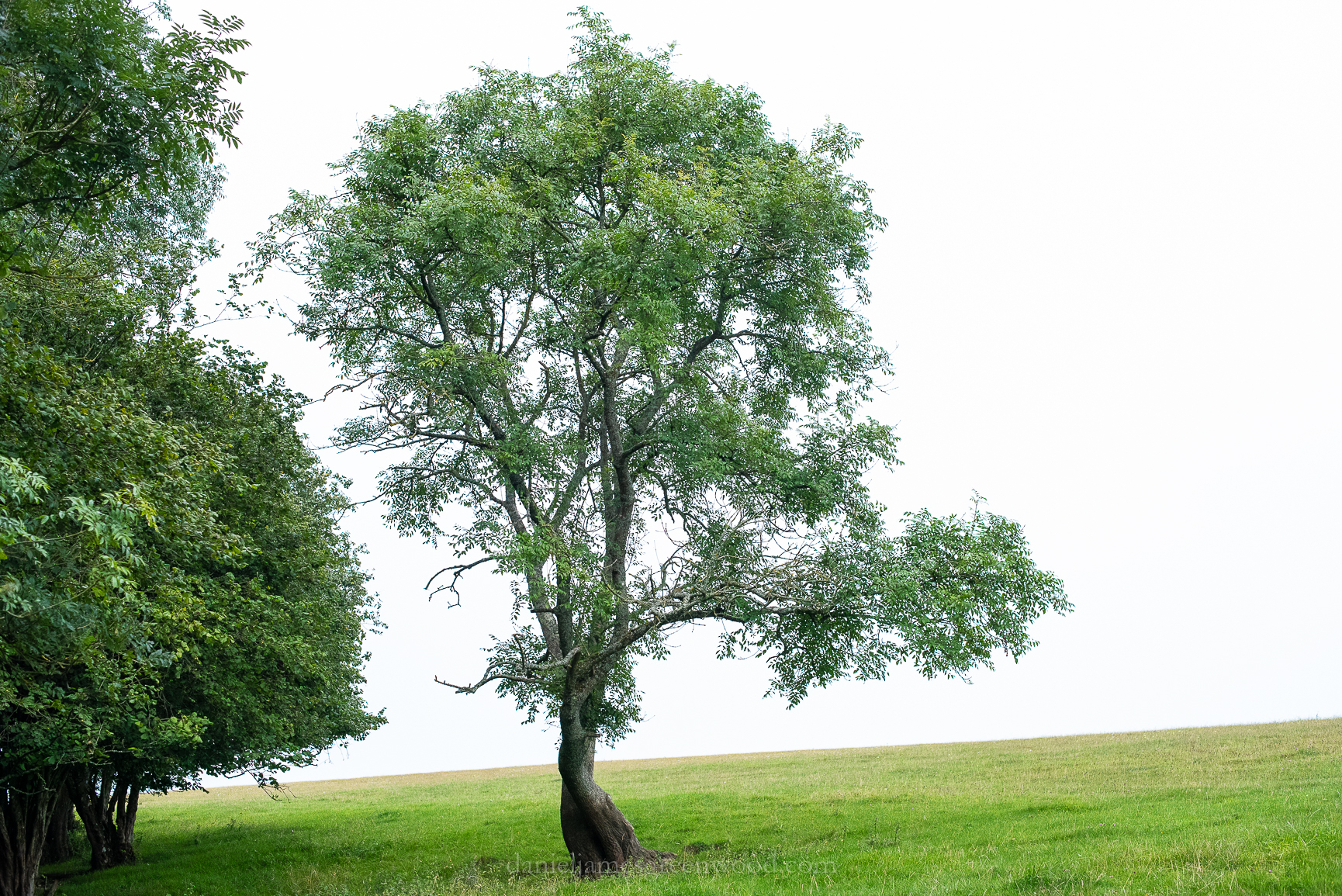
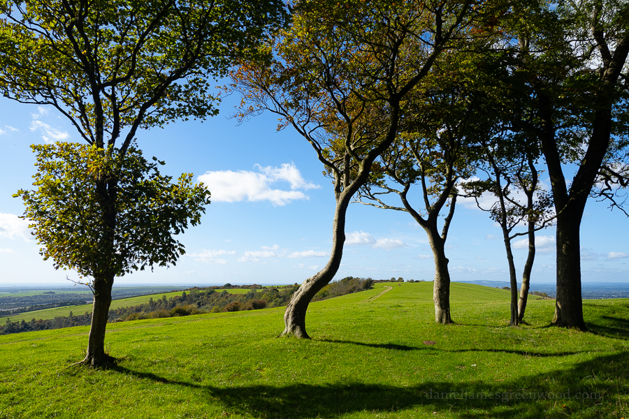
This sycamore tree got quite a lot of Instagram interest during lockdown, when a local person posted stunning phone pics of the sunsets up here. This is looking towards the Findon Valley.

Looking back where we’d travelled from, Chantoncbury Ring’s mini-hillfort can be seen as a beech clump on the hill, but much smaller now.

To the west, if you have binoculars, you can see the City of Portsmouth outlined on the horizon.

A last look across the Findon Valley, west into the Downs. The ramparts of the hillfort are in the image’s foreground.

Thanks for reading.

Further reading: The South Downs

Enjoyed what you saw here? If so, please support my work: https://ko-fi.com/djgwild

Latest from the Blog

Apaches over the Downs

A walk from Steyning, along the field edge with those lumpy Downs caught in a smoke-like haze. The sun beat over the hilltops, the trees naked, grey and brown without leaves.

A tale of two hedges in the South Downs

The light was low over the Arun valley. To the south the Sussex coast was a band of grey concrete, the horizon between sky and sea broken only by the pale sticks of the offshore wind farms. The Isle of Wight rested out at sea to the west like a great sleeping sloth.

The Sussex Weald: Seven miles of sunset hills in the Wealden Downs

Midhurst to Singleton on the New Lipchis Way, West Sussex, August 2019

Midhurst is a market town in rural West Sussex, right in the geographical heart of the South Downs National Park. A friend and I spent the evening walking a section of the New Lipchis Way that connects Midhurst and Singleton. It was a walk of 8 miles through several different habitats, undulating over varied geology. The New Lipchis Way sounds like something from Pagan Britain, but really it’s just that the walk begins in Liphook in Hampshire and ends in Chichester.

Mids-Singleton - 8-8-2019 djg-6

We began at Midhurst via the Cowdray Ruins, along the river Rother at the bottom of St. Ann’s Hill which once held a castle on its top. Remnants of the castle are still printed onto the hilltop. The way carries on through fields where ginormous sweet chestnuts are set in an avenue at the bottom of farmland. Soon the agricultural world is left behind for plantations imprinted on heathland around Heyshott and Ambersham Commons. Here the heather was beginning to bloom. The way crosses the old railway line that once served Midhurst.

Mids-Singleton - 8-8-2019 djg-13

Soon the South Downs break into view and the heathlands of the Greensand are left behind for Heyshott village. The use of the word ‘shot’ at the end of a placename usually refers to an extra piece of land extending from a settlement. Hence Aldershot and the variable Oakeshot. The church is a combination of chalk flint from the South Downs, oak timbers, sandstone blocks and clay tiles from the Weald and wooden panels and slats, presumably also from the Weald. The church probably dates from the 13th century.

Mids-Singleton - 8-8-2019 djg-14

I love the feeling of moving between settlements and countryside when walking and that drop-off in noise and activity for the stillness of an open or natural landscape. Here we passed through fields of wheat to reach the ridge of the South Downs at Heyshott. In the image above you can see the gradual dying back of ash trees on the ridge as the disease takes effect.

Mids-Singleton - 8-8-2019 djg-15

Looking back from the wheatfields you can see the ridge of Greensand Hills in the background, the woody heathlands in the middle and then the churchspire of Heyshott one layer closer.

Mids-Singleton - 8-8-2019 djg-16

Rising with the chalk, in the distance you can see Bexleyhill where the mast pokes out. These hills are part of the same Greensand ridge as Woolbeding Common, to the west or left hand side in this image. The river Rother runs from left to right (west-east) in this image, cutting between the distant hills and those of Heyshott and Ambersham Commons. Note the arrival of ash and whitebeam trees on either side on this rural chalky lane.

Midhurst-Singleton D750 - 8-8-2019 (99)

The light began to fade as the clouds came in and we made our ascent up onto the ridge of the South Downs. It was a dark, horsefly-occupied stretch which was so steep it shut any conversation down. Yew woods covered the northern slopes, such is their want on chalk. They give off an eerie vibe, light rarely breaks their cover. They are rare as woodlands.

Mids-Singleton - 8-8-2019 djg-17

Up on Heyshott Down we were met by some badger-faced sheep, evidently they get fed by passersby or people who, like us, get to this point and hit the deck. Heyshott Down is rich in chalk grassland flowers but also in burial mounds. I heard someone say once that the South Downs ridge, all 100 miles of it, was the equivalent of a really long, ancient graveyard.

Mids-Singleton - 8-8-2019 djg-18

The Lipchis Way then slips down through the non-stop beech plantation of Charlton Forest. Rain came in and the light was so low I took few pictures. We found this vast clearing where new conifers had been planted. You may be able to spot the hunting seats. This is the kind of heavily industrialised landscape that is found across Europe. It could be the Czech Republic, France or Scotland. It is a controlled landscape. Hunting and shooting are common past times in this part of West Sussex.

Mids-Singleton - 8-8-2019 djg-19

Leaving Charlton Forest behind after a good 20 minutes, you arrive at Levin Down, a Sussex Wildlife Trust nature reserve. On the edge of the reserve sits this twisted ash tree, recoiling from the woods and reaching out into the open landscape. This is another eerily open landscape, set against the wonderful diversity of Levin Down. The name derives from ‘Leave Alone’ because it was too steep to plough, thank God.

Mids-Singleton - 8-8-2019 djg-27

The light was so dull here that my camera’s excellent low-light skills came into action. Levin Down is chalk grassland with some stunning veteran juniper trees. Juniper would once have been much more common in areas of chalk downland. I have only ever seen it at Box Hill in the wild in the UK. In the White Carpathians of the Czech Republic, a landscape similar to the South Downs, they replant them to try and resurrect their populations.

Mids-Singleton - 8-8-2019 djg-25

Mids-Singleton - 8-8-2019 djg-24

Mids-Singleton - 8-8-2019 djg-23

You may know juniper from their berries because it is used to produce gin. The junipers on Levin Down are works of art. Like grim reapers their limbs look to be covered by overhanging sleeves, reaching out across the ground, rearing up like the pointed tips of hats. It feels like they’re pointing at you as they reach out to you from their place in the meadows.

Mids-Singleton - 8-8-2019 djg-30

Leaving Levin Down behind, we dropped down through chalk heath (a super rare habitat), one of the most pungent meadows I’ve ever smelt due to the wild marjoram or oregano. The way drops into the old part of Singleton, a village known for the Weald and Downland Museum. Thatched cottages with chalk flints sit with windows showing a cosy inner glow. A lovely place to end the walk.

Mids-Singleton - 8-8-2019 djg-29

Explore my Wealden archive